15-JUN-2008
Roadside sloughs
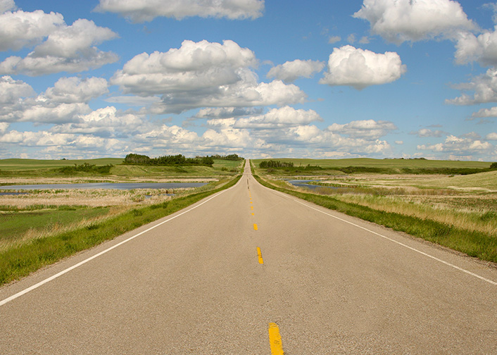
From the Trans-Canada Highway this area often appears flat. As seen in this shot taken along the route from Dinosaur Provincial Park to Drumheller, the flatness is an illusion. The numerous undocumented roadside sloughs provide some of the best birding spots in the area. On most secondary roads there is no shoulder, but dirt access roads for the farm fields appear on a regular basis and can be used for a brief stop. Even in dry weather it is best to avoid field access roads if you are not driving a truck or SUV with 4-wheel drive and high clearance.
15-JUN-2008
the distant horizon
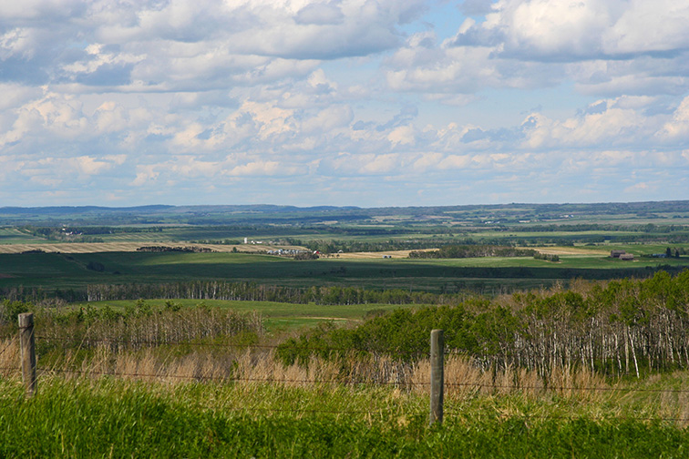
An advantage of the landscape in this area is the ability to spot rain clouds from a distance and detour around them. (not the case in this photo)
19-JUN-2008
Brooks Aqueduct
The Brooks Aqueduct, 3.2 km in length, is located about 8 km southeast of Brooks, Alberta. The aqueduct is considered by many to be one of the most significant engineering feats in Canada. As part of the federal government's support for constructing railways in the west, the Canadian Pacific Railway acquired 1.2 million hectares of land between Calgary and Brooks. Most of this land was arid and had little value as farmland so a massive irrigation and colonization scheme was begun. In 1914, the Bassano Dam was completed on the Bow River and water was diverted through a complex system of canals and aqueducts to farmers. Having fallen into disrepair, the aqueduct was replaced in 1969 by an irrigation canal located nearby. (see additional photo of canal)
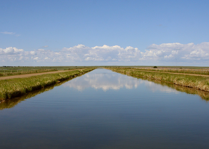
19-JUN-2008
Irrigation canal near Brooks, Alberta
The abandoned Brooks Aqueduct can be seen in the distance on the right side of the photo, parallel to the canal.
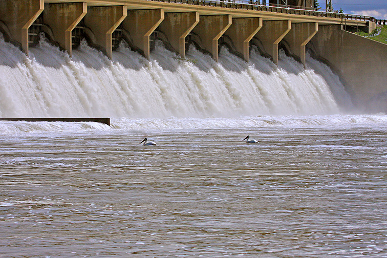
19-JUN-2008
American White Pelicans at the Bassano Dam
19-JUN-2008
near the Bassano exit of the TransCanada Highway
At this an unplanned stop, a total of 14 species of birds were observed. A mobile field irrigation system can be seen in the background.