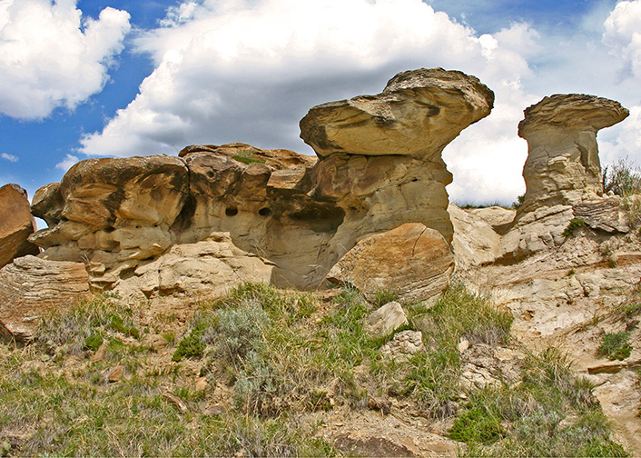
18-JUN-2008
Hoodoos, Badlands Trail, Dinosaur Provincial Park
26-JUN-2009
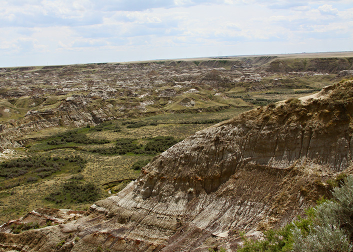
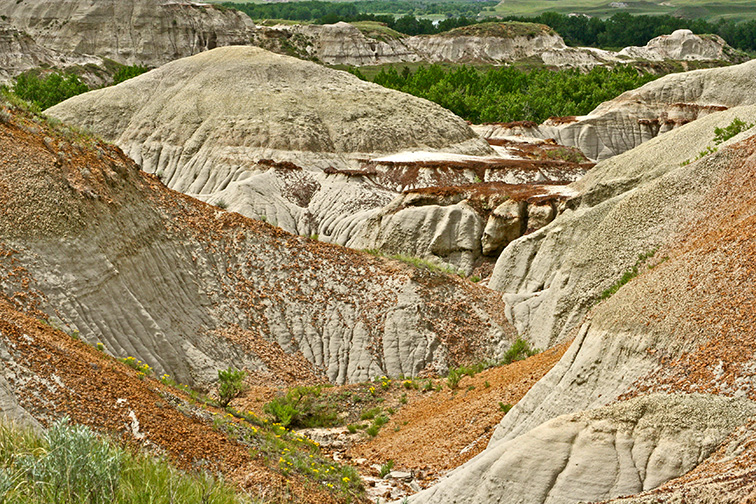
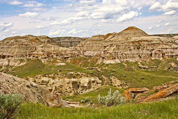
The view below ground level
As with the Grand Canyon and similar landscapes, the beauty of the Badlands is all below the level of the horizon.
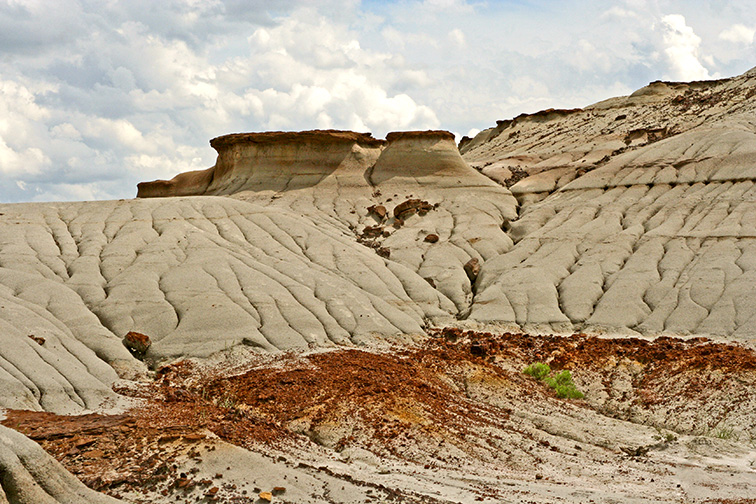
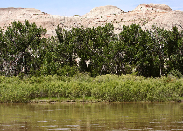
26-JUN-2009
Cottonwoods along the Red Deer River
The Cottonwoods growing along the bank make the route of the Red Deer is easy to trace. (Dinosaur Provincial Park)
18-JUN-2008
Cottonwood Flats Trail, Dinosaur Provincial Park
18-JUN-2008
future Hoodoos, Coulee Viewpoint Trail, Dinosaur Provincial Park
18-JUN-2008
Prarie Trail, Dinosaur Provincial Park
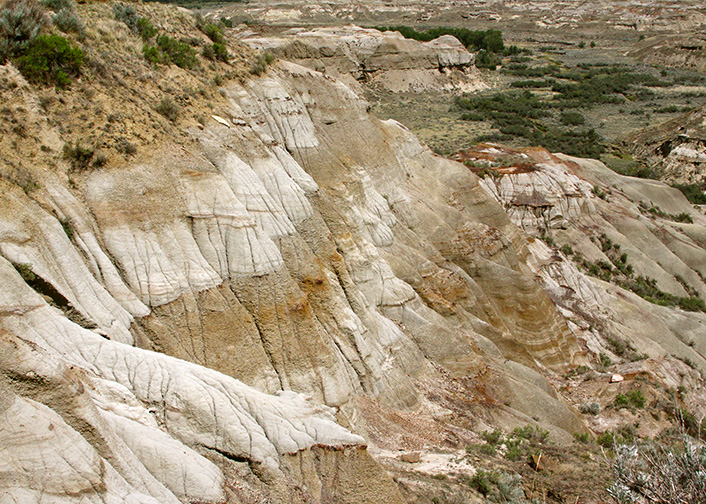
18-JUN-2008
Badlands Trail, Dinosaur Provincial Park
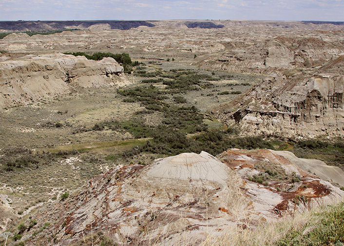
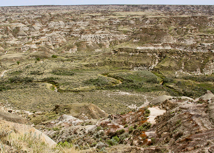
26-JUN-2009
Meandering Stream
The Red Deer river, giving meaning to the geological term "Meandering Stream". Over time, the silt will build up in the curves of the river and form "oxbow lakes". The photo was shot from the north rim near the entrance to Dinosaur Provincial Park. This is one of the locations that provide a view of the extent of the Badlands area.
18-JUN-2008
Cottonwood Flats Trail, Dinosaur Provincial Park