


|
|
|
|
|
|
| Zane Paxton | profile | all galleries >> Tabasco, Mexico >> Pantanos >> Interpretive Center | tree view | thumbnails | slideshow |
|
Pantanos de Centla Biosphere Reserve Wetlands Interpretive Center |
||
|---|---|---|---|
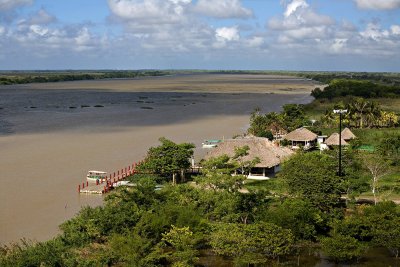
Pantanos de Centla Biosphere Reserve is located in the northeastern corner of Tabasco. It is part of the Usumacinta and Grijalva river deltas. Its northern border is formed by the mouth of the San Pedro and San Pablo rivers as they spill into the Gulf of Mexico and the city of Frontera; its eastern border is the state of Campeche; the union of the Bitazales River with Grijalva River marks the southern limit; and it is bordered by the Porfias stream and the Villahermosa - Ciudad del Carmen highway to its west. Pantanos de Centla Biosphere Reserve is 302,706 ha (making up 12.27% of the state of Tabasco) and spans three municipalities: Centla (225,108 ha), Jonuta (65,651 ha) and Macuspana (6,280 ha) (Sánchez et al. 1988; INE, 2000). |
|||
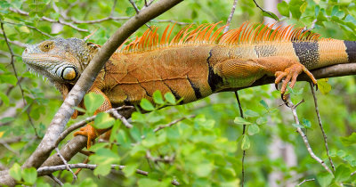 Iguana-2 |
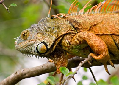 Iguana-1 |
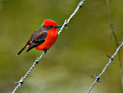 12132006-Pantanos de centla-Z-009 |
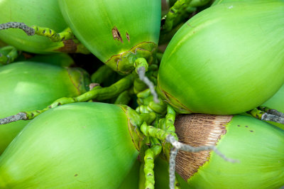 12132006-Pantanos de centla-Z-056 |
 12132006-Pantanos de centla-Z-050 |
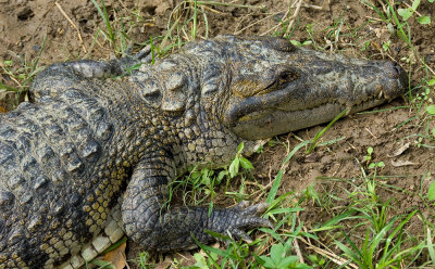
 Crocodile-1 |
 Interperative Center 2 |
 Interperative Center |
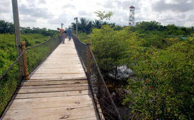
 Three Arms |
 12132006-Pantanos de centla-Z-038 |
 12132006-Pantanos de centla-Z-037 |
 12132006-Pantanos de centla-Z-033 |
 12132006-Punta Manglar-Z-020 |
 12132006-Punta Manglar-Z-016 |
 12132006-Pantanos de centla-Z-015 |
 12132006-Pantanos de centla-Z-047 |
 12132006-Pantanos de centla-Z-020 |
 12132006-Pantanos de centla-Z-018 |
 12132006-Pantanos de centla-Z-054 |
 12132006-Pantanos de centla-Z-044 |
 12132006-Pantanos de centla-Z-042 |
 12132006-Pantanos de centla-Z-041 |
 12132006-Pantanos de centla-Z-003 |
 12132006-Pantanos de centla-Z-031 |
 12132006-Pantanos de centla-Z-022 |
| comment | share |
| Ali Majdfar | 24-Dec-2006 19:03 | |