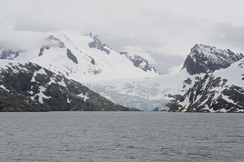
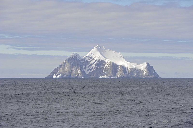
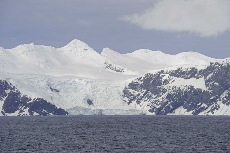
03-JAN-2014
Mountains & Glaciers in Drygalski Fjord
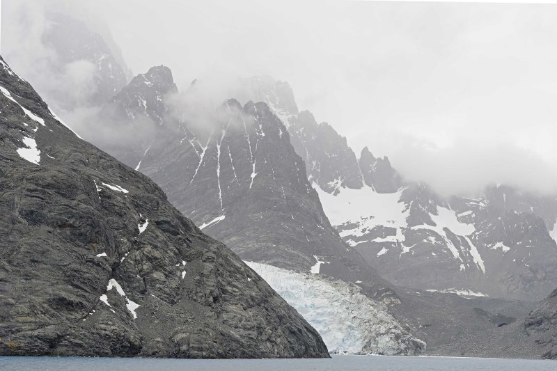
03-JAN-2014
Mountains & Glaciers in Drygalski Fjord
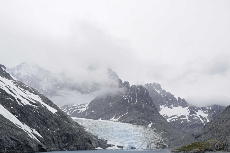
03-JAN-2014
Mountains & Glaciers in Drygalski Fjord
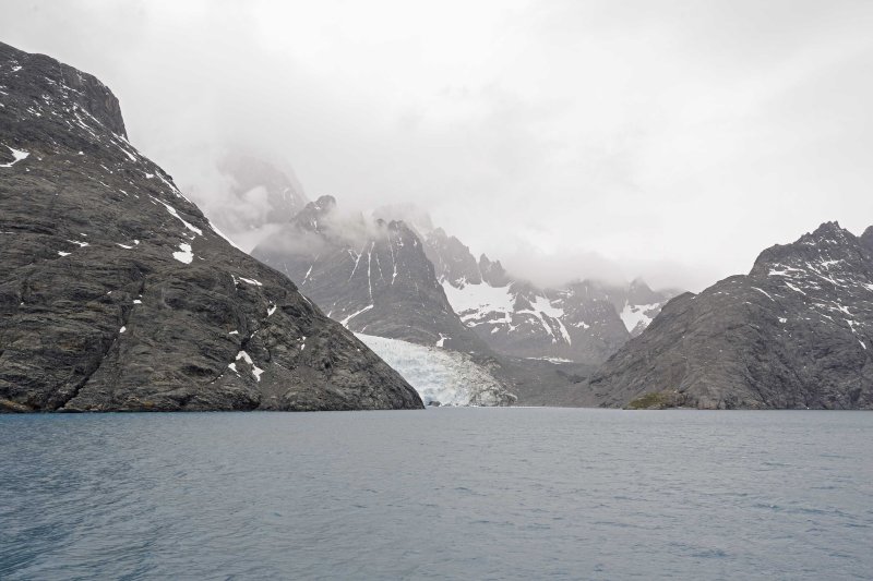
03-JAN-2014
Mountains & Glaciers in Drygalski Fjord
05-JAN-2014
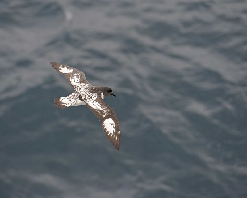
Cape Petrel flying by the ship
Cape Petrel in the Scotia Sea while traveling from South Georgia Island to the South Shetland Islands.
010514-#0012
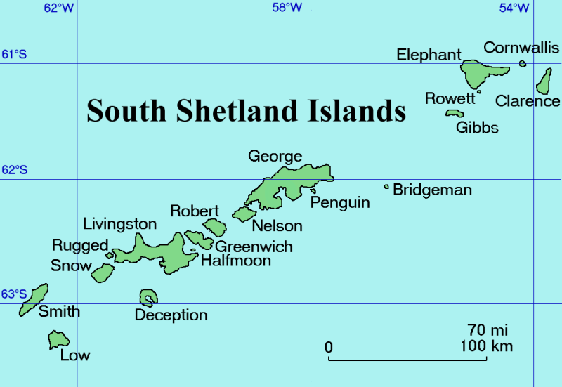
South Shetland Islands
Shown is an overall map of the South Shetland Islands.
We will be visiting three islands in this group:
- Elephant Island
- Deception Island
- Livingston Island
Details about our visits will be discussed in later listings.
Map shown has been released into the public domain by its author, Topbanana at the English Wikipedia project. Details regarding this release are shown at the following URL:
http://en.wikipedia.org/wiki/File:South_Shetland_Islands_Map.png
01/06/2014
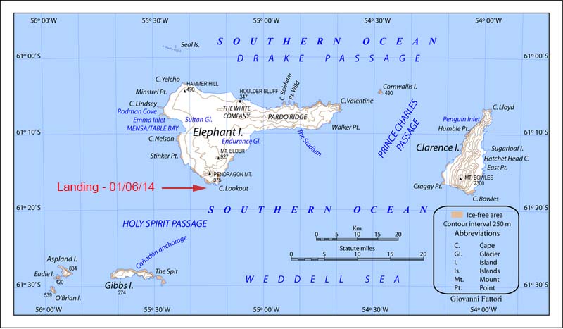
Elephant Island
Attached is a map of Elephant Island.
We had hoped to make a Zodiac landing at Point Wild on the north side of the island in the morning of January 6, 2014 however the surf and waves did not allow it.
We made a Zodiac landing on Cape Lookout in the afternoon of January 6th as highlighted on the map.
This file is licensed under the Creative Commons Attribution-Share Alike 3.0 Unported license.
06-JAN-2014
Point Wild - Elephant Island
Point Wild was our intended landing site on the north side of Elephant Island.
010614-#0165
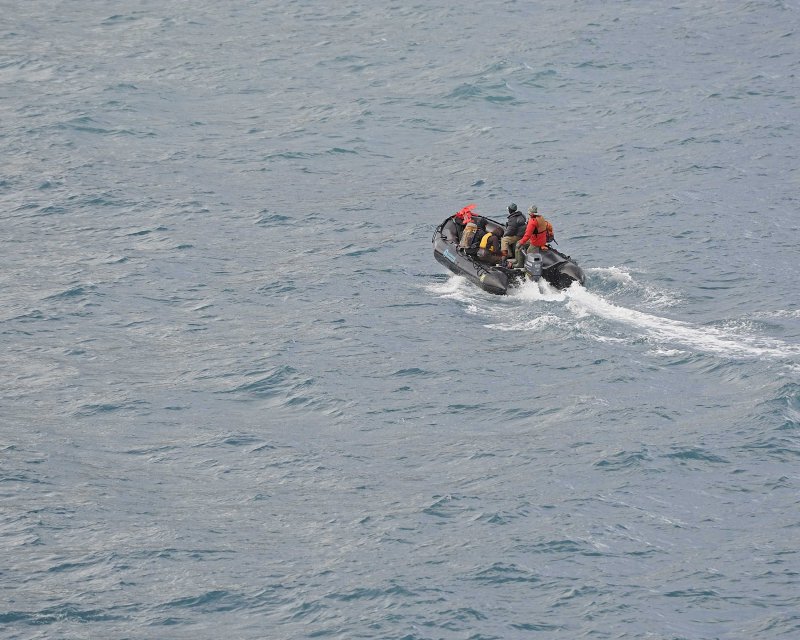
06-JAN-2014
Zodiac with Staff heading out to Elephant Island
This is a photograph of the staff heading out to survey a landing site at Point Wild.
Because of surf and wave conditions, we did not make a landing at Point Wild.
010614-#0149
06-JAN-2014
Cornwallis Island
Photograph of Cornwallis Island as we were traveling along the South Shetland Islands.
010614-#0113
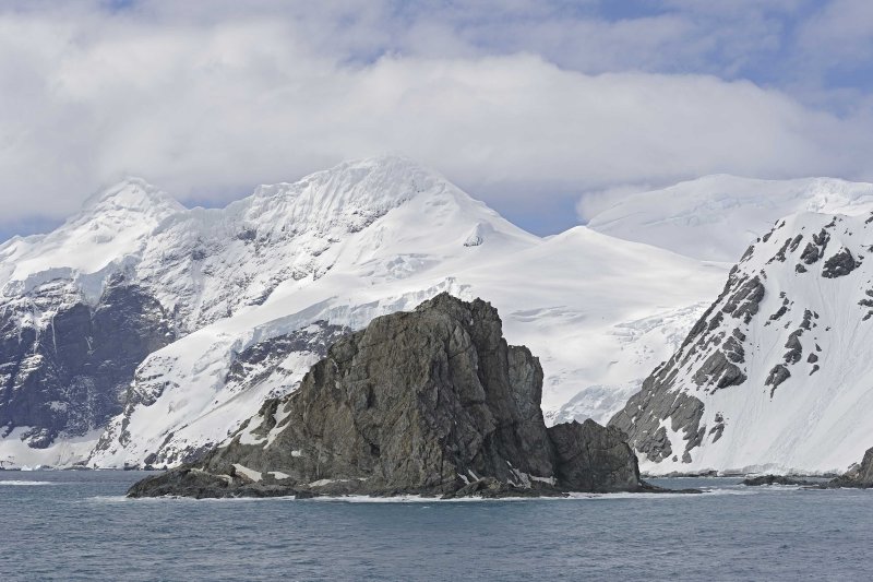
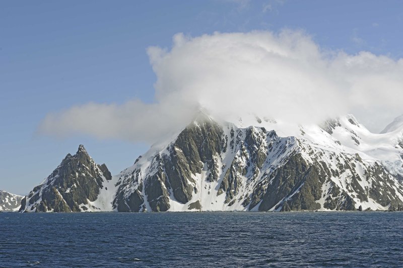
06-JAN-2014
Mountains & Glaciers - Elephant Island
Photograph of some of the Mountains and Glaciers on Elephant Island as we sailed along.
010614-#0122
06-JAN-2014
Mountains & Glaciers on Elephant Island


