


|
|
|
|
|
|
| david | profile | all galleries >> Galleries >> St Charles MO flooding | tree view | thumbnails | slideshow |
| previous page | pages 1 2 ALL | next page |
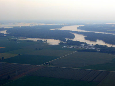 IMG_6296-1.JPG |
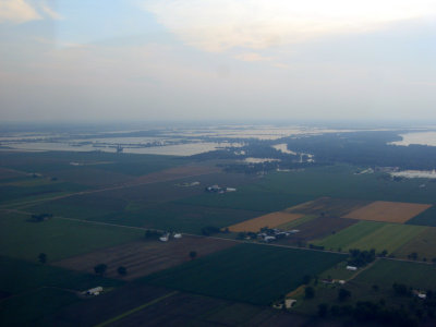 IMG_6297-1.JPG |
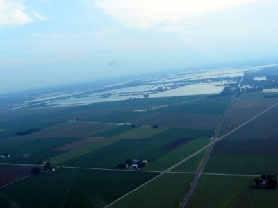 IMG_6298-1.JPG |
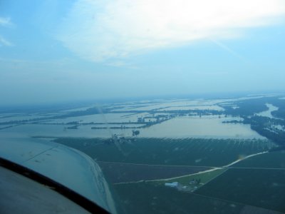 IMG_6299-1.JPG |
 IMG_6300-1.JPG |
 IMG_6301-1.JPG |
 IMG_6302-1.JPG |
 IMG_6303-1.JPG |
 IMG_6304-1.JPG |
 IMG_6281-1.JPG |
 IMG_6282-1.JPG |
 IMG_6283-1.JPG |
| previous page | pages 1 2 ALL | next page |
| comment | share |