


|
|
|
|
|
|
| C. G. Anderson | profile | all galleries >> Caves and Caving >> Webster Cave Complex Imagery and Visual Trip Reports >> Webster Cave Complex Visual Trip Reports >> Ridge walking trip to Briar Hole and Vanlarh's Cave | tree view | thumbnails | slideshow |
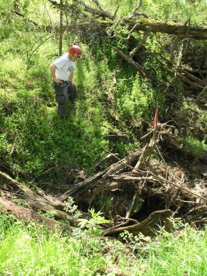
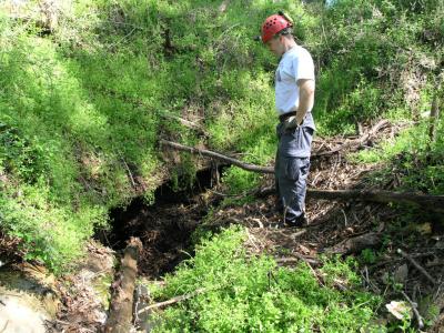 Briar Hole 02 |
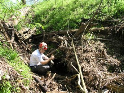
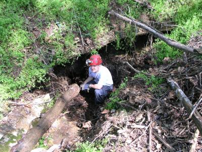 Briar Hole 01 |
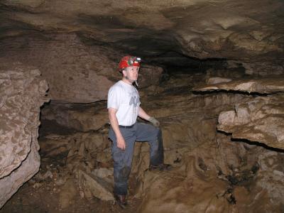
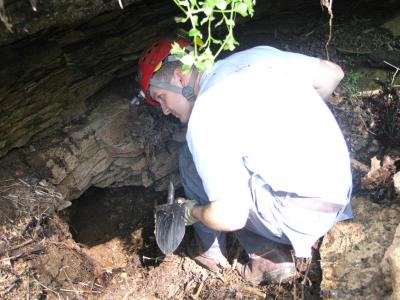 Briar Hole 04 |
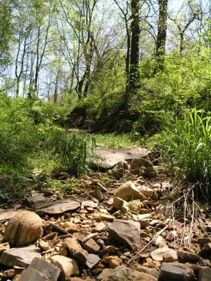
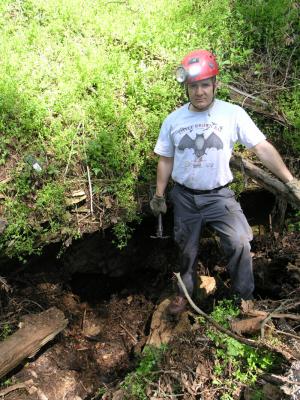 Briar Hole 03 |
 Vanlarhs Cave 01 |
 Vanlarhs Cave 02 |
 Vanlarhs Cave 03 |
 Briar Hole Trench 01 |
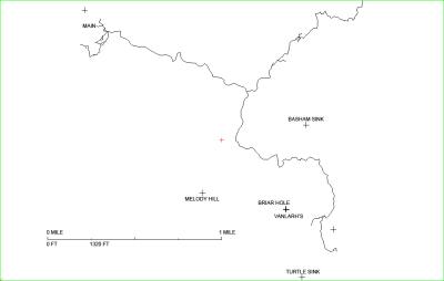 20060402 Webster Cave System Line Plot |
| comment | share |