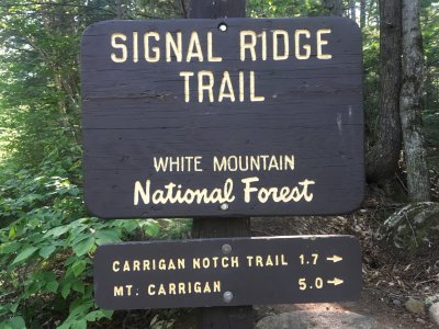
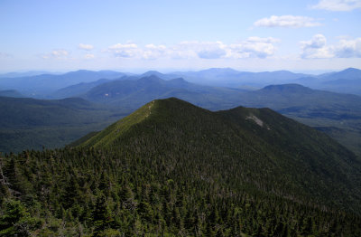
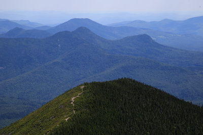
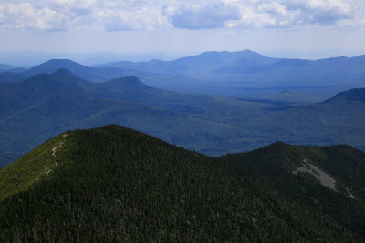
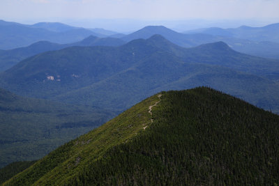
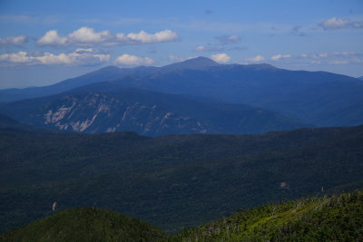
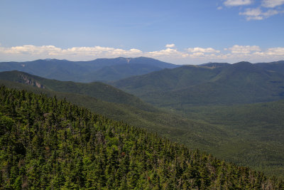
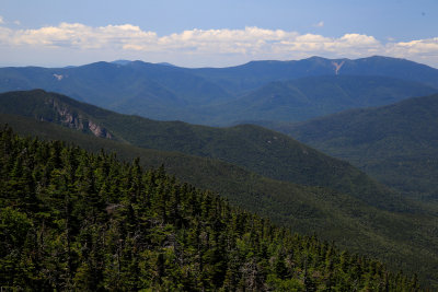
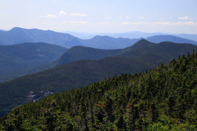
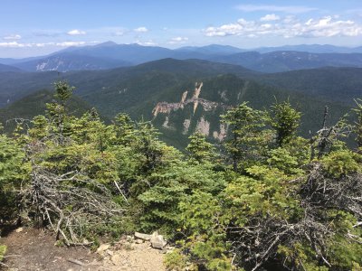
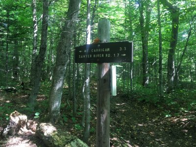
Gorgeous day for this 10.5 mile hike up the Signal Ridge trail to Mt. Carrigain returning to Sawyer River Road. With 3500 ft of ascent elevation, the hike is plenty challenging however the first 2 miles are very easy so the kicker comes at the end. Gorgeous views in all directions from the tower. I took a nice long break so this one took 6.5 hrs. Love the views from the tower -- this was my third time up this beautiful remote peak.