


|
|
|
|
|
|
| Dennis Ancinec | profile | all galleries >> Peggy's Galleries >> Alaska Trip 2012 >> Out to Sea - Hubbard Glacier | tree view | thumbnails | slideshow |
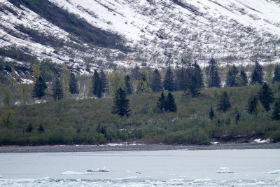
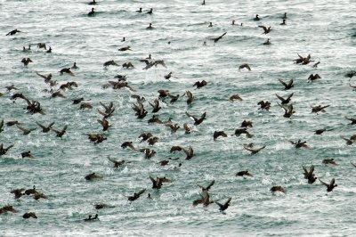 Black and White-winged Scoters |
 Near Hubbard Glacier |
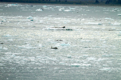
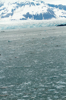
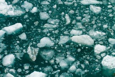
 Near Hubbard Glacier |
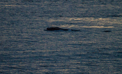 Humpback Whale |
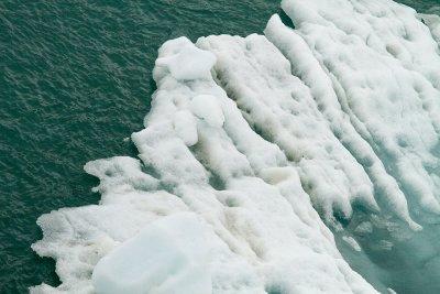
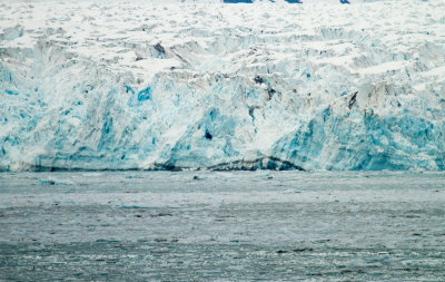
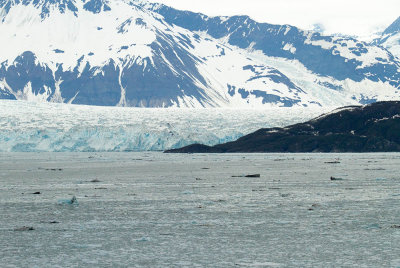 Hubbard Glacier |
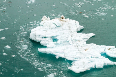
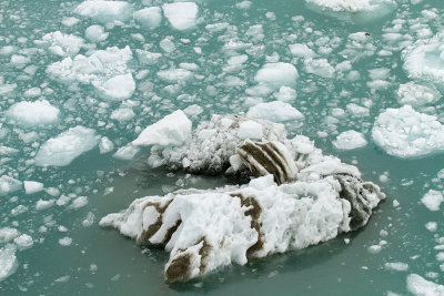 Near Hubbard Glacier |
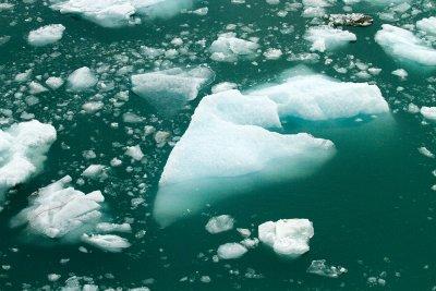 Near Hubbard Glacier |
 Hubbard Glacier |
 Near Hubbard Glacier |
 Near Hubbard Glacier |
 Near Hubbard Glacier |
 Hubbard Glacier |
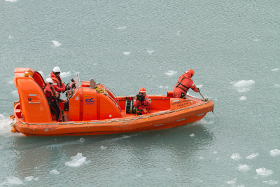 Sapphire Princess boat, looking for hidden dangers |
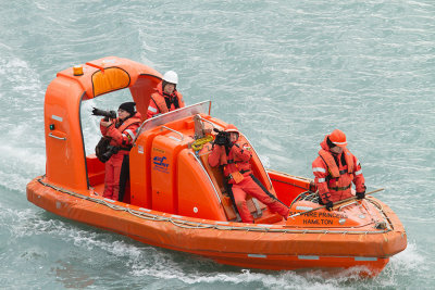 Taking pictures of us. |
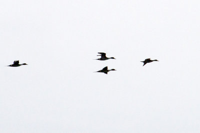 Pintail Ducks |
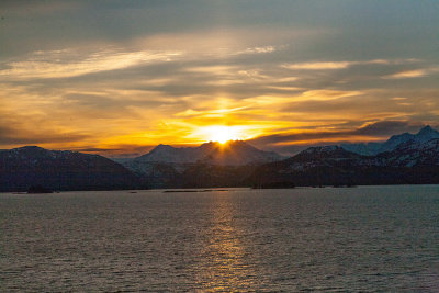
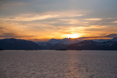
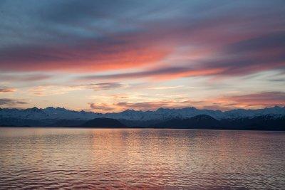 Sunset |
 Near Hubbard Glacier |
 Near Hubbard Glacier |
| comment | share |