


|
|
|
|
|
|
| chris morton | profile | all galleries >> English Lake District - click on more galleries within >> Little Langdale | tree view | thumbnails | slideshow |
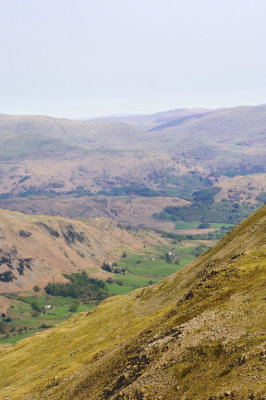
 Side Pike of Lingmoor fell, Blea tarn and ascent from Great Langdale |
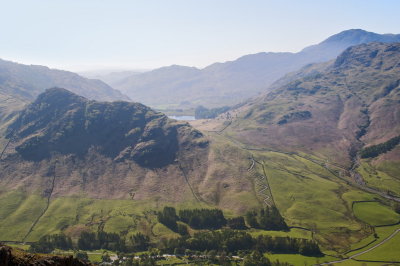
 overview from Harrison Stickle - Blea tarn, then moss beyond leading to Castle How and Little Langdale valley |
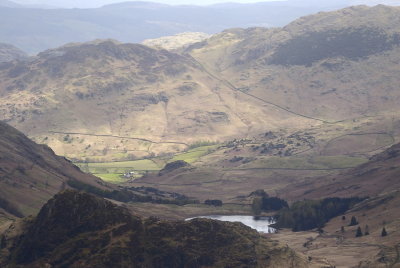
 Langdale pikes from Little Langdale valley |
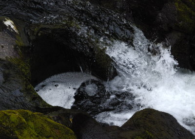 Colwith force detail |
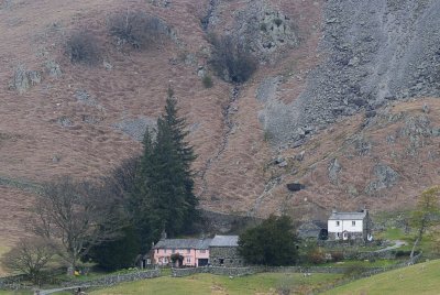 The Bield - like the defiance of the steep and barren fellside close behind |
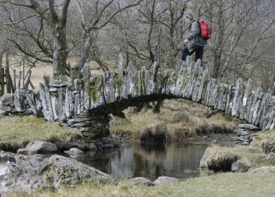 Slater bridge - looks as if the abutments were reinfoced |
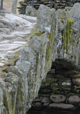 Slater bridge detail - just imagine the boots and hooves need to erode the slate |
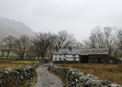 Bridge end - a lovely longhouse style farmstead on the bridleway on south side of the valley (sorry it's now raining) |
 Castle How, a good picnic spot at the turn towards Blea tarn |
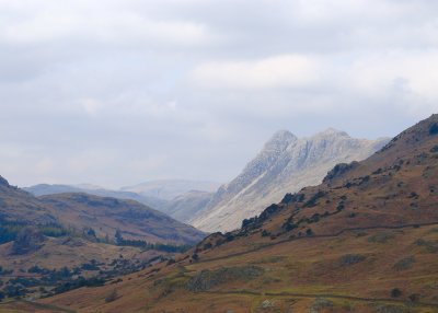
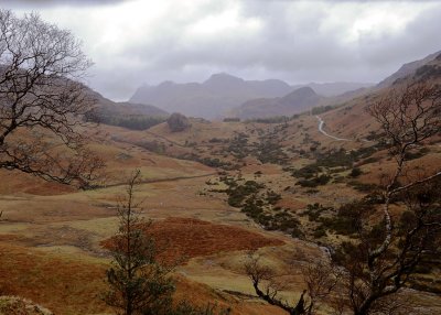 northwards from Castle How, Side Pike of Lingmoor tarn centre, then Langdales about to disappear in cloud |
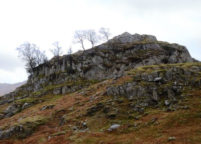
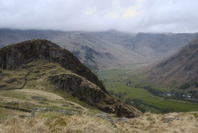 Side Pike of Lingmoor Fell; Old Dungeon Ghyll Hotel bottom right, Rossett Pike to Mansey Pike ridge top right |
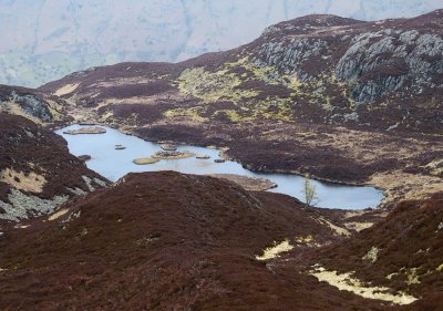 Lingmoor tarn - worth going from Blea tarn car park up Lingmoor |
 Greenburn branch from Swirl How |
| comment | share |