


|
|
|
|
|
|
| chris morton | profile | all galleries >> English Lake District - click on more galleries within >> Grasmere - summer and winter | tree view | thumbnails | slideshow |
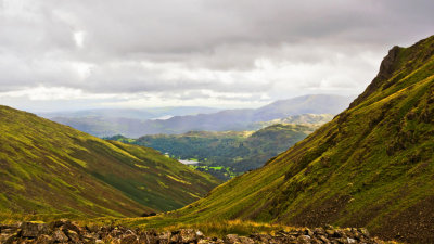
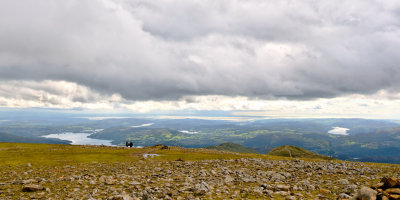
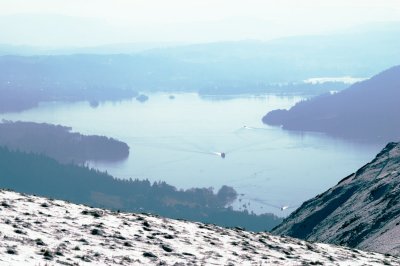
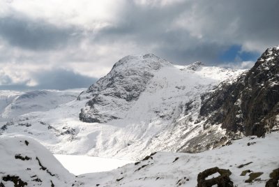
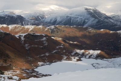
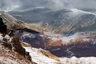
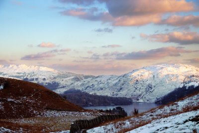
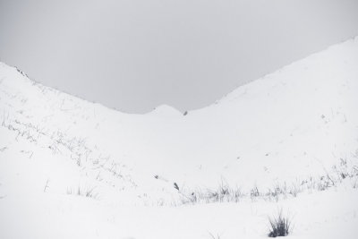
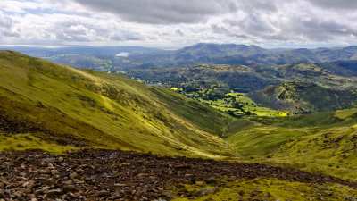 Grasmere etc from Grisedale tarn col |
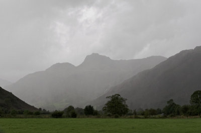
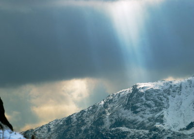
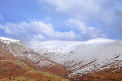
 Lakes weather |
 no lakes without a sheep |
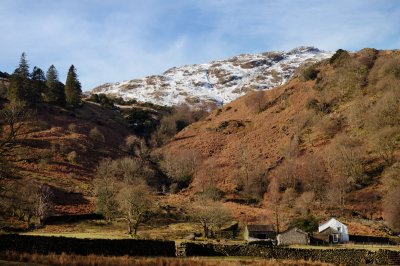
 highest habitation |
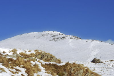
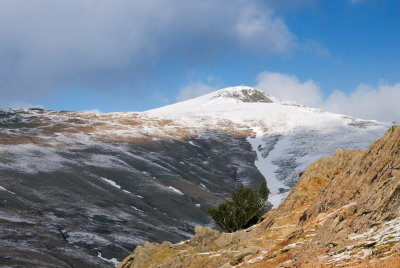
 Little Tongue route up Fairfield |
 Hause Gap to Grasmere |
 picnic postponed |
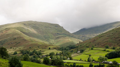
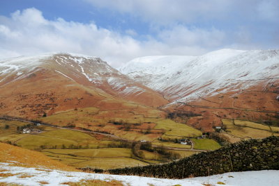
 Seat Sandal |
 Fairfield litter patrol |
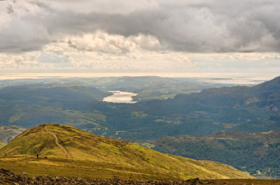
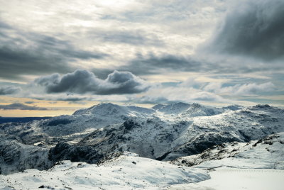
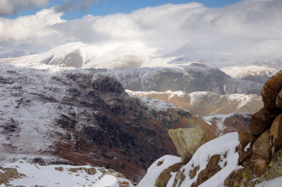
 Fairfield to the sea |
 Sea & Coniston from Fairfield |
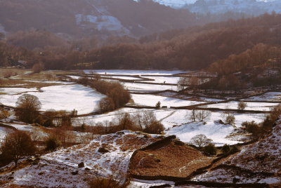
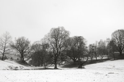
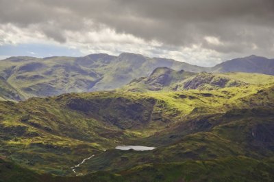 Easedale in proportion |
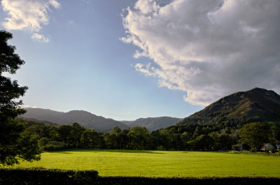
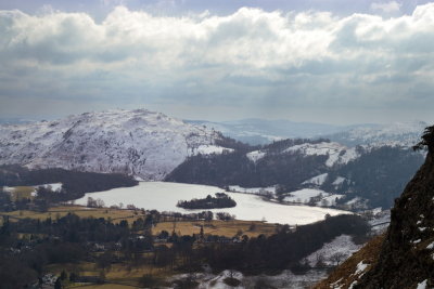
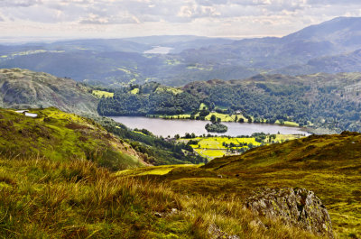 Grasmere lake |
 conditions precedent to rainbow pic |
 mountains out of molehills |
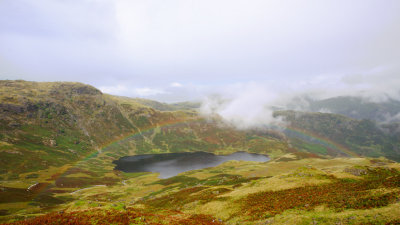 Easdale tarn rainbow |
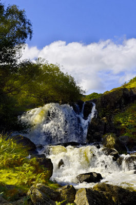
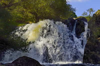 waterfalls below Easedale tarn 2 |
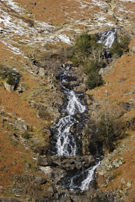
 waterfalls below Easedale tarn 1 |
 falls below Easedale Tarn - 3 |
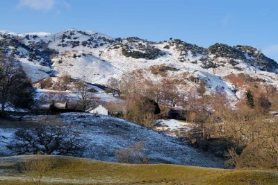
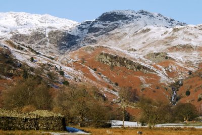
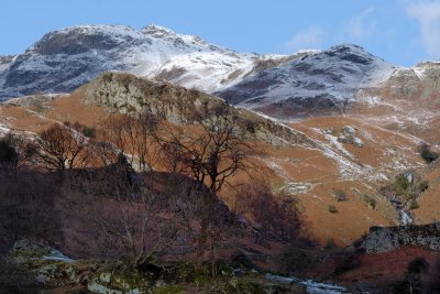
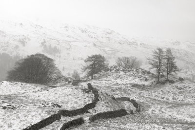
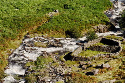 sheepfolds |
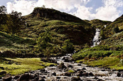
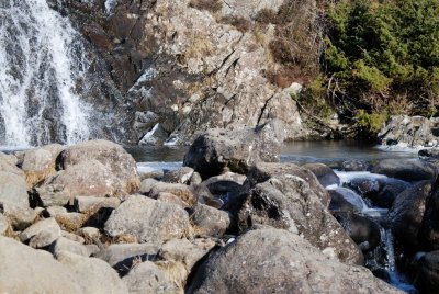
 waterfall below Easdale Tarn |
 path to Silver How from Easedale valley |
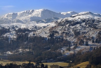 Grasmere foreground with Coniston fells on horizon |
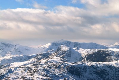
 Scafell group from Great Rigg ascent |
 Coniston fells from Great Rigg ascent |
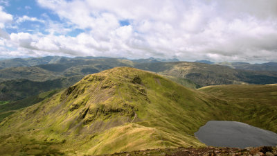
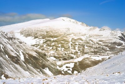
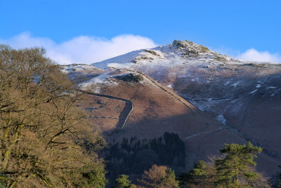
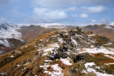
 Great Rigg |
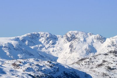
 Helvellyn from Great Rigg (south) |
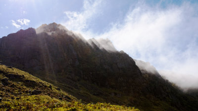
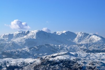
 Helvellyn from west; a fairly rare emergence from the clouds |
 Windermere from Butter Crag |
 Windermere |
 Alcock Tarn (NB look at contours before choosing this a gentle stroll) |
 Alcock tarn |
 Alcock tarn |
 Great Rigg from Buttercrag |
 ...er somewhere to west; end of walk eastwards |
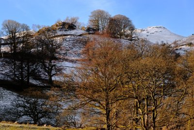
 Stone Arthur from Easedale walks |
 morning promise |
 Allan bank on walks towards Langdale valley |
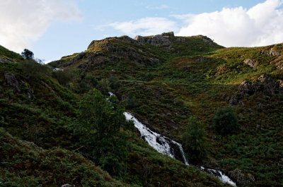
 Waterfall down from Easedale tarn right, Greathead Crag ahead |
 first sighting of falls below Easedale tarn |
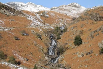 falls below Easedale tarn |
 falls below Easedale tarn |
 falls below Easedale tarn |
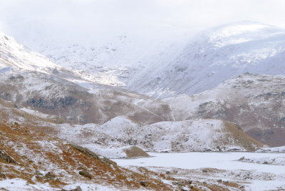
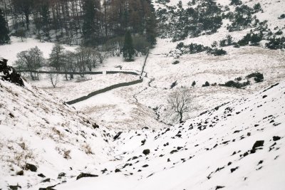
 Easedale valley from ascent to tarn |
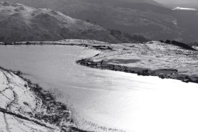
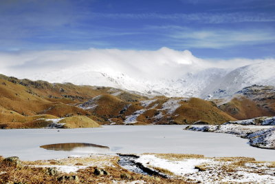
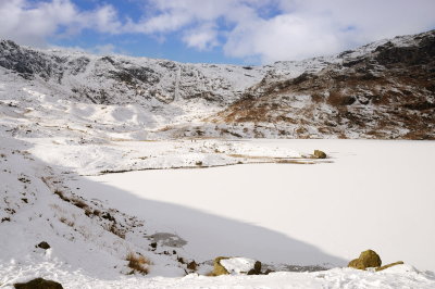 Easedale tarn - yes, iced over and snow covered |
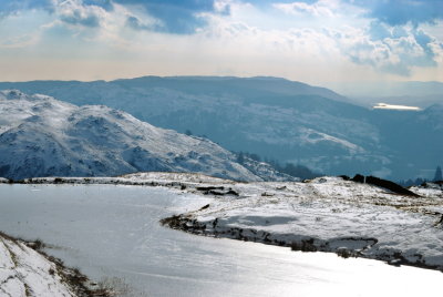
 ice beginning to melt on Easedale tarn |
 Easdale tarn from ascent towards Langdale pikes |
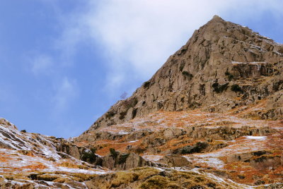 Belles Knot pretending to be pyramid |
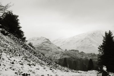
 Fairfield etc from near head of Easdale ascent |
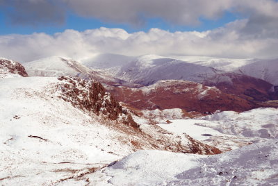 Fairfield etc from head of Easdale ascent |
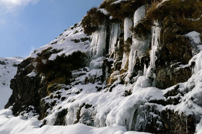 icicles |
 Harrison Stickle and Pavey Ark (right) with Stickle tarn below |
 Weatherlam from Heron Pike with Harrison Stickle & Pavey Ark central |
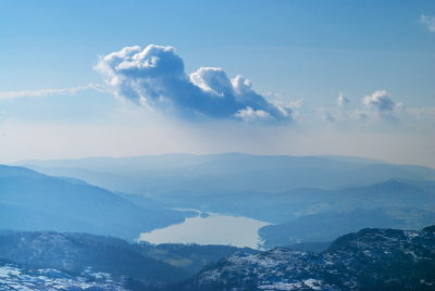
 from Stickle tarn to Morecambe bay |
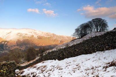
 Helm crag ridge with Fairfield beyond |
 from Great Castle How towards Helvellyn |
 Helm Crag with Far Easedale valley to left |
 near Great Castle how on ridge dividing Easedale & Great Langdale valleys |
 Great Rigg & Fairfield from Castle How |
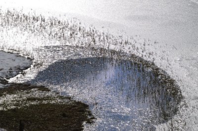
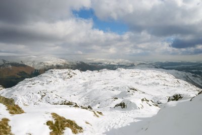
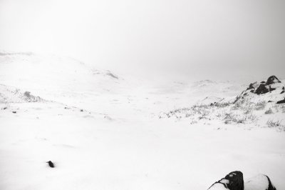
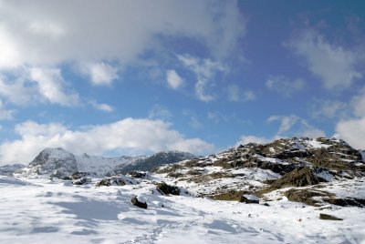 snowfield |
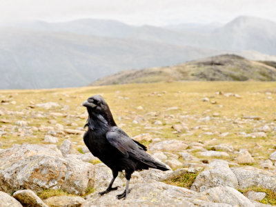
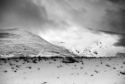 Oh for the wings of a raven! |
 Weatherlam, Pike of Blisco & Harrison Stickle posing |
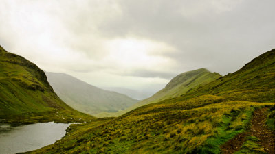
 tongue routes to Grisedale tarn |
 Ambleside to Keswick road with Great tongue & Great Rigg beyond |
 Grasmere |
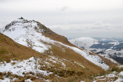 Helm crag |
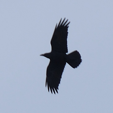 Raven - about the only birdlife up top |
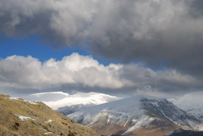
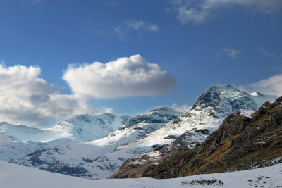
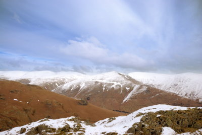 Helvellyn & Fairfield ridge beyond Seat Sandal |
 pottering in Grasmere village |
 ascent to Silver How |
 first glimpse of Grasmere lake from ascent to Silver How |
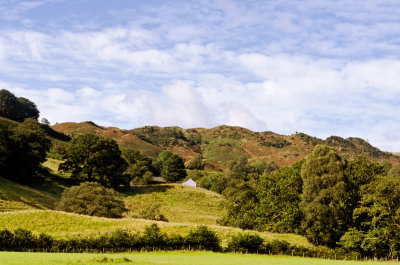
 Allan bank |
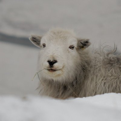 Ms Herdwick |
 Brigstone moss, or maybe just lost |
 Now is that a cairn? |
 descent from the cairn, a bit steep for icy steps |
 returning to Lakeside |
| comment | share |
| John Hamers | 01-Sep-2012 19:42 | |
| nrcorby | 06-Apr-2010 18:56 | |
| Guest | 06-Mar-2010 11:16 | |