photo sharing and upload picture albums photo forums search pictures popular photos photography help login
Craig | profile | all galleries >> Galleries >> FREE MAPS tree view | thumbnails | slideshow

In Box | Weathering Samples - Diesel and Electric | Weathering Samples - Steam | Weathering Samples - Rolling Stock | Repaints | O Gauge Weathering | N Gauge | Coaches and Vans | Miscellaneous | martins_models | Wigan CRDC 2003 | FREE MAPS | david_hs_locos | johns_locos | asquith_arms | Jupiter Artland | Kids

FREE MAPS

You may use these maps for private study, but they must not be re-produced, re-published or re-sold in any form without my permission. Otherwise, use them as you will - to support work in the classroom or at home.

They are A3 format - so remember, when printng them, to select the A3 and "landscape" or "portrait" options, as required. If you don't have an A3 format printer, they will also print nicely at A4 size.

They are also suitable for display on interactive whiteboards.

Don't forget to check back frequently as I will be adding more. Update December 2018: all new maps of all the continents will be added shortly. The maps will now also include disputed boundaries, representing areas where the boundary has not been agreed or where there are rival claims to territory. Updated maps of the British Isles and the world will also be added soon.

Click on the thumbnails for the maps, then ensure to click on "original" below the map for the full size version.


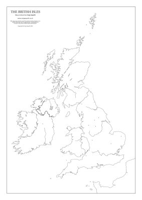
British Isles.jpg
British Isles.jpg
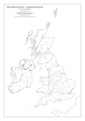
british isles 1.9_2014_POL.jpg
world+physical+free.jpg
world+political+free.jpg
Lake District.jpg
Lake District.jpg
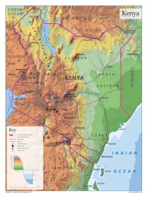
Kenya2_3.jpg
Kenya2_3.jpg
Antarctica.jpg
Antarctica.jpg