


|
|
|
|
|
|
| clamflats | profile | all galleries >> Galleries >> Old Postcards and Photos of Westport, Mass. and surroundings | tree view | thumbnails | slideshow |
:: J.W. Howland Photos and Postcards :: |
:: Old Horseneck Presentation (Dartmouth Hist. Soc.) Feb 2019 :: |
:: Old Horseneck presentation (Westport Hist. Soc.) Jan 2019 :: |
:: Old East Beach presentation August 2016 :: |
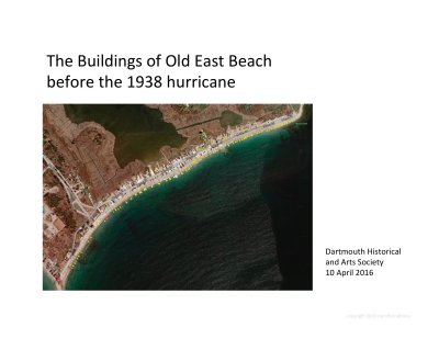
:: Old East Beach presentation April 2016 (Dartmouth) :: |
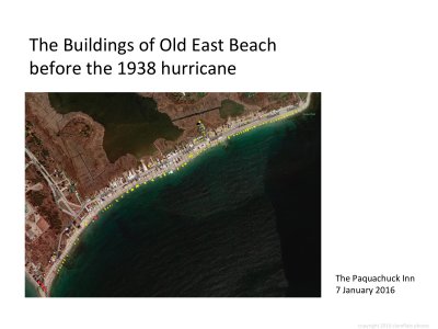
:: Old East Beach presentation January 2016 :: |
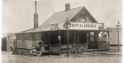
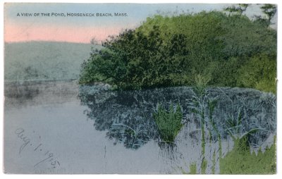
:: Old East Beach from Quansett Rocks to Horseneck Point :: |
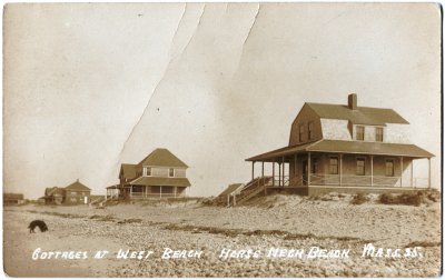
:: West Beach from Gooseberry Neck to Cherry & Webb Point :: |
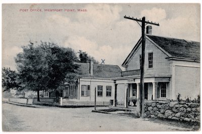
:: Westport Point :: |
:: Westport Harbor and Acoaxet :: |
:: Westport north of the coast :: |
:: Misc Old Westport :: |
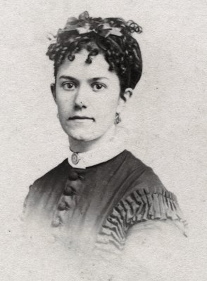
:: Westport People :: |
:: Main Road - location uncertain :: |
:: around Westport (New Bedford, Fall River, etc.) :: |
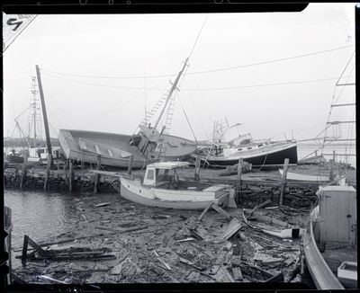
:: Hurricane Carol, 1954 :: |
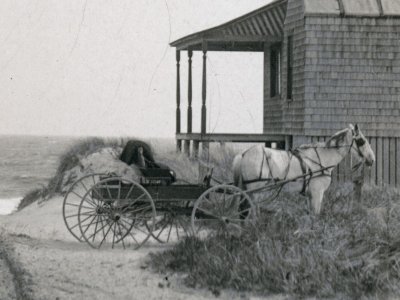
:: Mr. DuBois's Horse and Buggy :: |
:: Adamsville, R.I. :: |
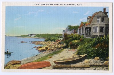
:: Dartmouth, Mass. :: |
:: Where were these taken? :: |
:: State-o-Maine Lunch :: |
| comment | share |
| clamflats | 01-Sep-2016 21:41 | |
| Guest | 31-Aug-2016 16:59 | |