


|
|
|
|
|
|
| clamflats | profile | all galleries >> Oct-Nov 2014 New Orleans road trip >> Drive from Boston to New Orleans 2014 | tree view | thumbnails | slideshow | map |
 Ominous sign 1 Monday |
 Ominous sign 2 Monday |
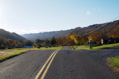
 That's better - Bevans, NJ, in Delaware Water Gap National Recreation Area |
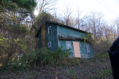
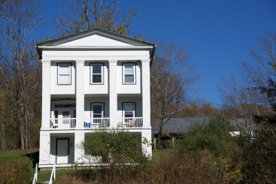 Bevans |
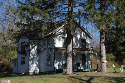 Bevans |
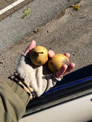
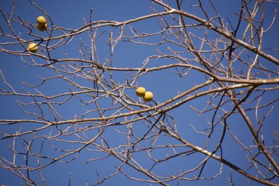 Black Walnut fruit in Bevans |
 Along the Delaware |
 Along the Delaware |
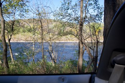 Along the Delaware |
 Approaching the Delaware Water Gap |
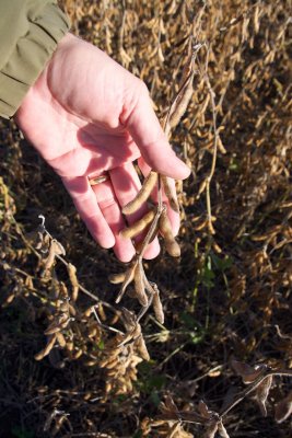 What are these beans? |
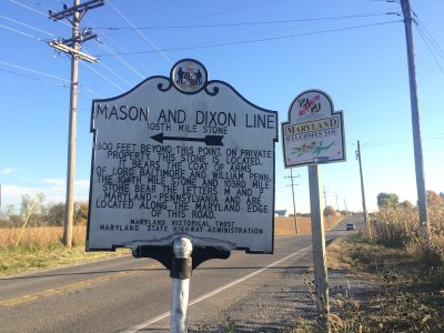 Maryland Border: Mason-Dixon Line; Obama: Impeach Him |
 Individual untroubled by irony puts up Impeach Obama sticker at Mason-Dixon line |
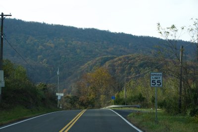
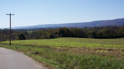
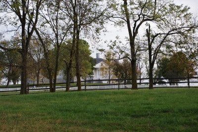 Plantation country in northern Virginia, Tuesday morning |
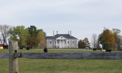 Plantation Country |
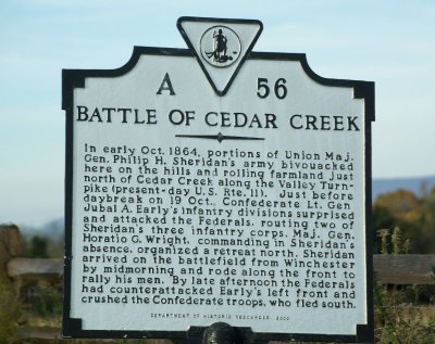 Civil-War-ridden area |
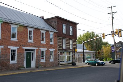 Incongruous log building downtown |
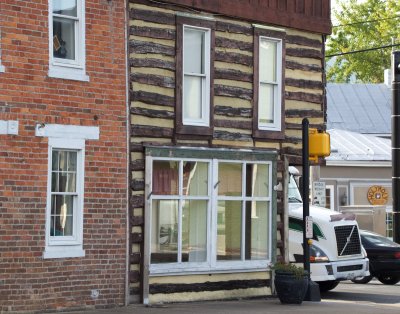 Incongruous log building downtown |
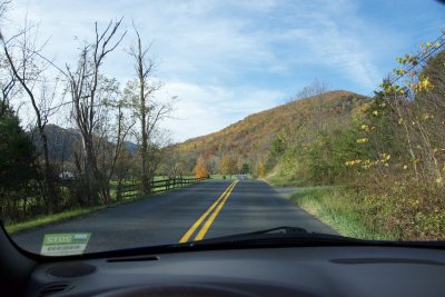
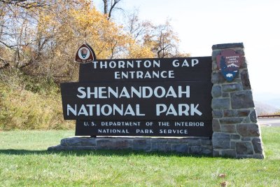
 Get me out of Plantation Country - heading for the Fort Valley |
 Fort Valley at left, Skyline Drive at right |
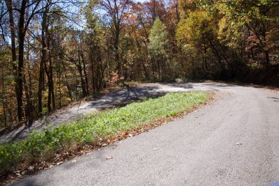
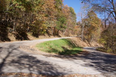
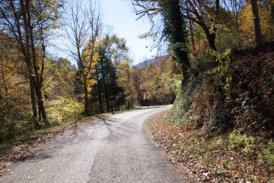
 Road to the Fort Valley |
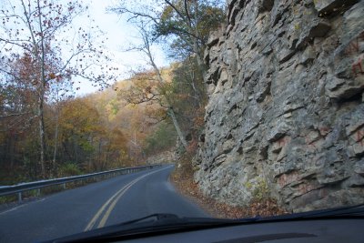 Road to the Fort Valley |
 Road to the Fort Valley |
 driving up the Fort Valley |
 southern tip of Fort Valley |
 Climbing out of the valley |
 View from the ridgetop outside Fort Valley, east towards Skyline Drive |
 valley wall from outside |
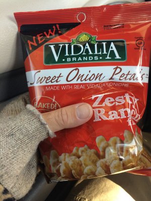 On the road, you discover new snacks |
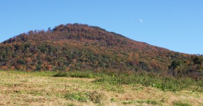
 Back to the mountaintops |
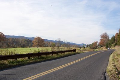
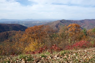
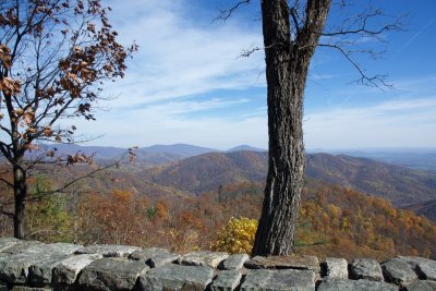 View from Skyline Drive |
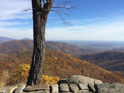 View from Skyline Drive |
 View from Skyline Drive |
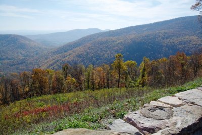 View from Skyline Drive |
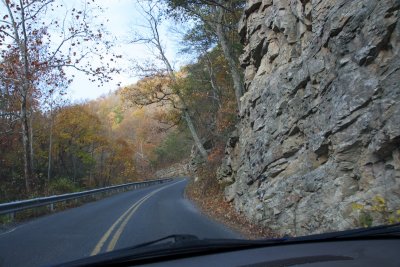
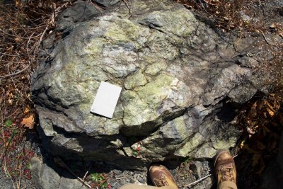 geology on Skyline Drive - check out the green & purple colors |
 View from Skyline Drive |
 The Blue Ridge Parkway continues south as Skyline Drive for another 500 miles or so |
 View from the Blue Ridge Parkway |
 View from the Blue Ridge Parkway |
 tunnel along the Blue Ridge Parkway |
 View from the Blue Ridge Parkway |
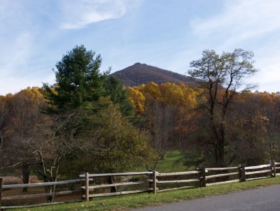
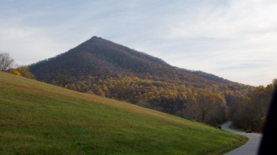 Peaks of Otter, Blue Ridge Parkway |
 Peaks of Otter, Blue Ridge Parkway |
 Peaks of Otter from Blue Ridge Parkway |
 View from the Blue Ridge Parkway |
 View from the Blue Ridge Parkway |
 View from the Blue Ridge Parkway |
 Leaving Salem, VA |
 Good advice |
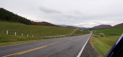
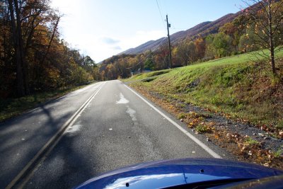
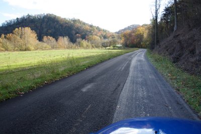
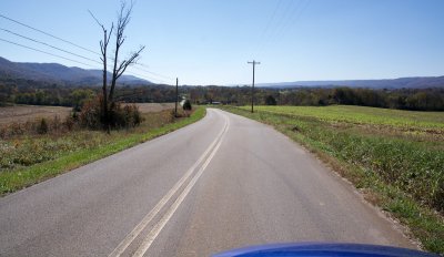
 Heading up the Craig Creek valley |
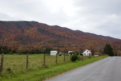
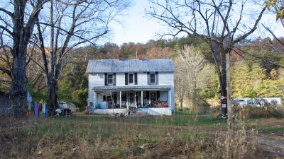
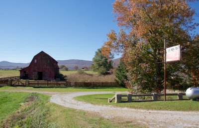
 Craig Creek Valley home |
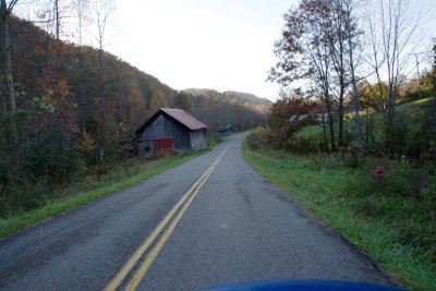
 Tidy fences and fields near Bland, VA |
 Oh. The tidy farm turns out to be a prison farm |
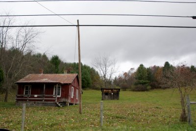 house west of Bland, VA |
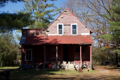
 New shack, old shack |
 Climbing out of the valley towards Burkes Garden, VA |
 Climbing out of the valley towards Burkes Garden, VA |
 Road to Burkes Garden |
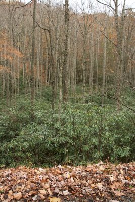 Rhododendron heaven on the hills |
 Seen this pose before? |
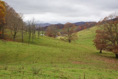
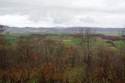
 Burkes Garden from the summit of Garden Mountain |
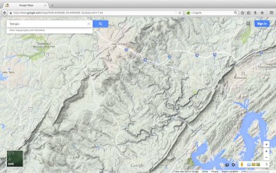
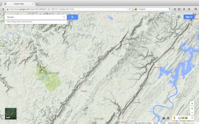
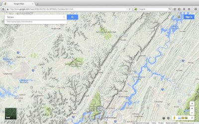
 Now's a good time to see Burkes Garden on the map |
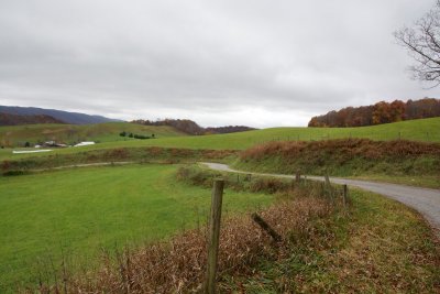
 Burkes Garden from the ridge |
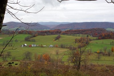 Burkes Garden from the ridge |
 Burkes Garden |
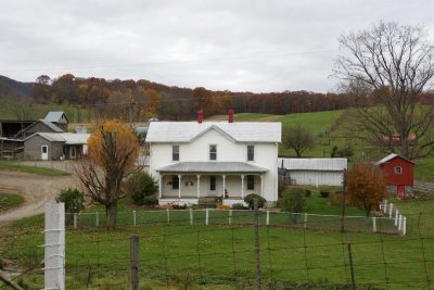 Burkes Garden |
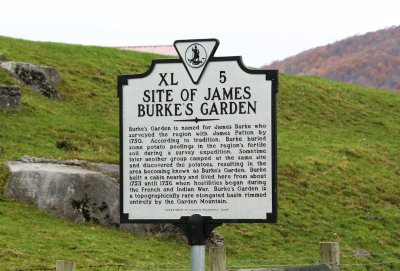 This sign explains it all. |
 Old Burkes Garden store |
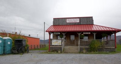 New(er) Burkes Garden store |
 Burkes Garden |
 Hey, a squirrel! |
 Look closer, that's an eastern fox squirrel |
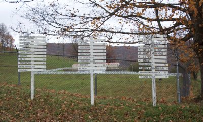 Burkes Garden directory |
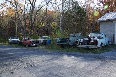
 New arrivals at the Burkes Garden store |
 What do you call these - scooters? There has to be a name for them. |
 Looking back towards Burkes Garden from the highway |
 Leaving the highway again |
 Good attitude in the Poor Valley |
 Poor Valley |
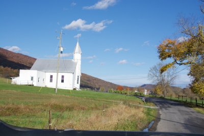
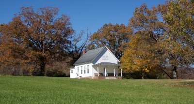
 Poor Valley Log Church |
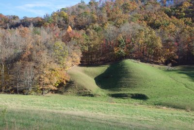 terraced pasture |
 Fabled Clinch Mountain |
 Home under Clinch Mountain |
 Clinch Mountain on the right for miles |
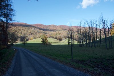
 valley road |
 raccoon in the road |
 valley road |
 Clinch Mountain still on the right |
 Awkward sun position |
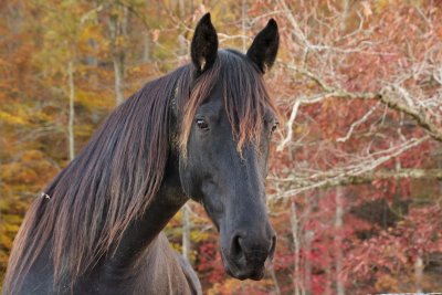 Horses under Clinch Mountain |
 Horses under Clinch Mountain |
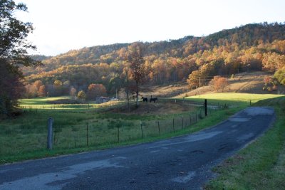 Horses under Clinch Mountain |
 Fall Is Here, Enjoy the Season |
 Starting out Thursday - mile 1150 |
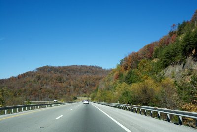 Climbing up the Cumberland Escarpment |
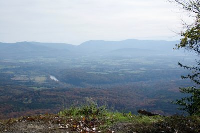
 Grassy Cove, TN |
 Cumberland Escarpment runs from lower left corner to top center; Grassy Cove left of center |
 Grassy Cove, TN |
 Grassy Cove, TN |
 Grassy Cove, TN |
 Grassy Cove, TN |
 Grassy Cove, TN |
 Grassy Cove, TN |
 Grassy Cove |
 Grassy Cove |
 Next: Leaving Grassy Cove and driving around to the Sequatchie Valley |
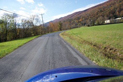
 Old road from the plateau to the Sequatchie Valley |
 This road taught me why southern country boys like fast cars so much. |
 Twisty, deserted, scenic - and no potholes. Zoom! |
 Aha, I understand the Dukes of Hazzard now. |
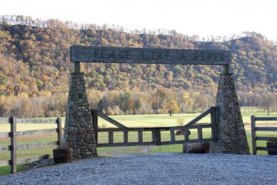
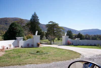 The gate does not match my aesthetic. |
 But the grounds are nice enough. |
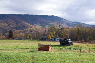
 Sequatchie Valley home |
 That's not a Holstein. |
 Sequatchie Valley |
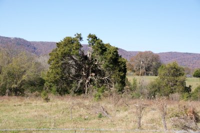 Surprised to see so many cedars. |
 Sequatchie Valley looking back northeast |
 Sequatchie Valley |
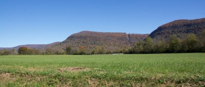
 The Sequatchie Valley |
 left (east) side of the valley |
 right (west) side |
 Straight down the valley |
 Sequatchie Valley |
 Pikeville, TN in the valley center |
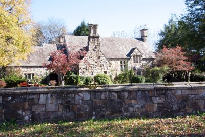 Stone house in Pikeville |
 Grand house in Pikeville |
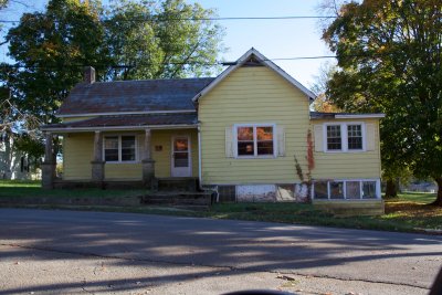
 A more typical old house |
 The daylight moon joins the drive |
 Oh, yeah! Love to see that sign. |
 Approaching the southern end of the Sequatchie valley |
 Some black walnuts before I go |
 Climbing the Cumberland plateau again |
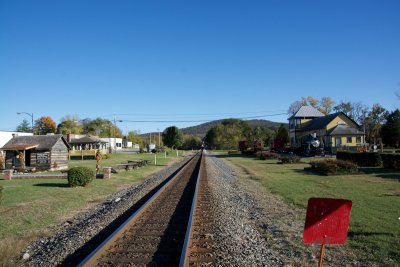
 Cowan, TN, on the other side of the uplands |
 Cowan, TN |
 An important old train tunnel that way |
 Hey, there's a train now. |
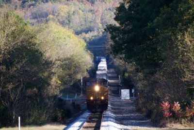 Coming our way (slowly) |
 There's time to get a photo of the Cumberland Mountain Tunnel plaque before the train arrives |
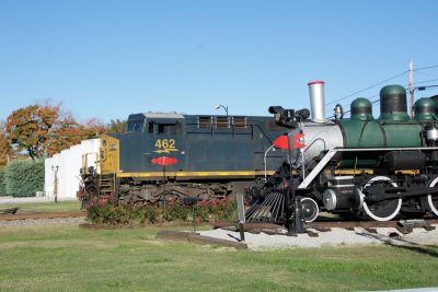 Locomotives old and new in Cowan, TN |
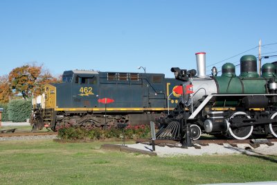 Locomotives old and new in Cowan, TN |
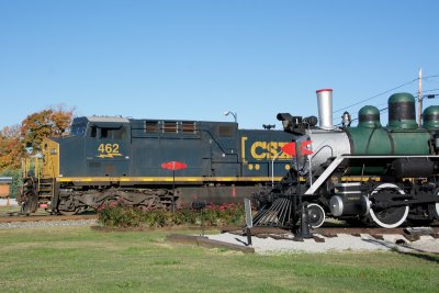 Locomotives old and new in Cowan, TN |
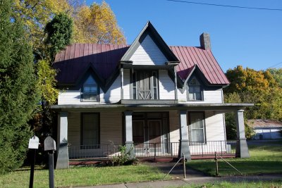 Cowan architecture |
 Cowan architecture |
 This house looks new till you realize the porch pillars are quarried stone |
 another interesting house next door |
 west across Tennessee, the land gets flatter |
 We're in cotton country - more of that tomorrow. |
 Who the heck is David Crockett? |
 370 miles to Natchez, that's the plan. |
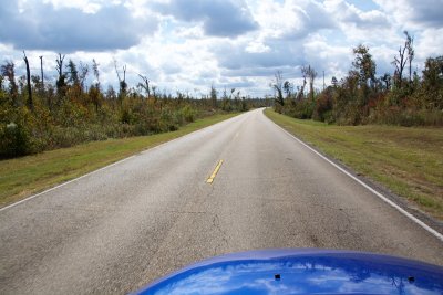
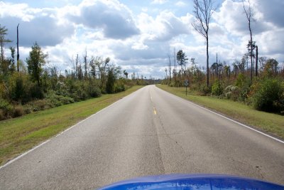
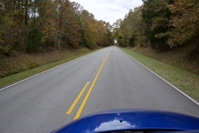 Natchez Trace |
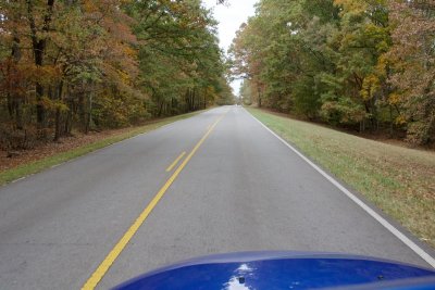 Natchez Trace |
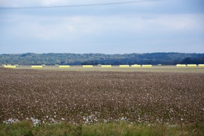
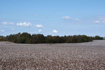 Cotton country |
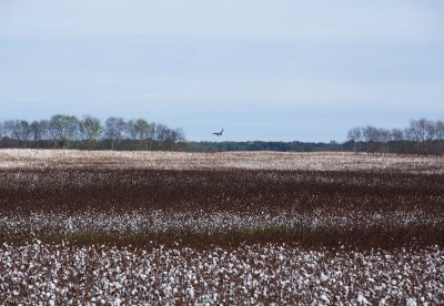 Northern Harrier flying over cotton fields along the Trace |
 Kudzu! |
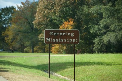 Mississippi border |
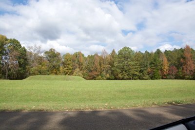 Indian mound |
 Indian mound signs |
 What the heck is this? |
 More weird stuff |
 This went on for at least five miles |
 Wow, that must have been a huge storm. |
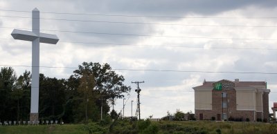 God and commerce in Mississippi |
 Carrollton, MS |
 Carrollton, MS |
 Mississippi Country Music Trail marker |
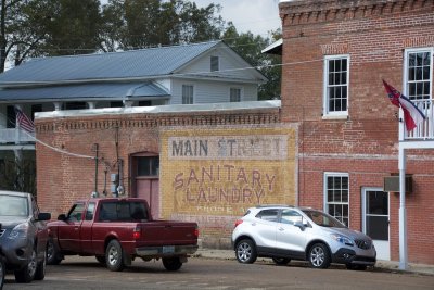 Sanitary Laundry in Carrollton, MS |
 Kudzu takes over the railroad at the edge of town |
 country home with add-ons |
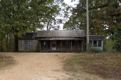
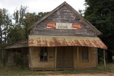 The Valley Store near Avalon, MS |
 The Valley Store |
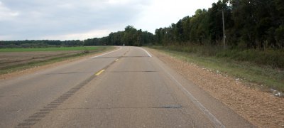
 Paved road (with miscellaneous loose dogs) |
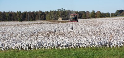
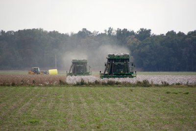
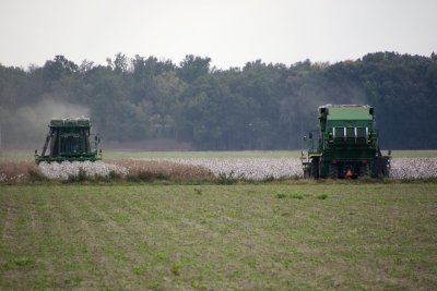
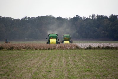 Cotton harvest in progress |
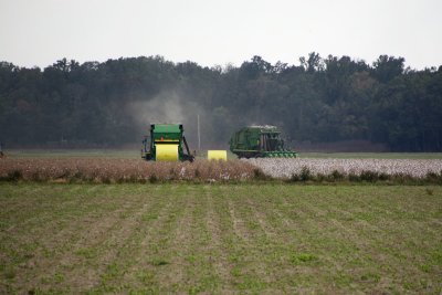 Laying yellow eggs |
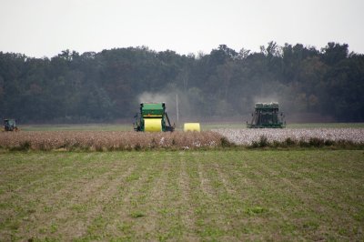 Starting a new row |
 Another new row |
 A tractor takes the egg away |
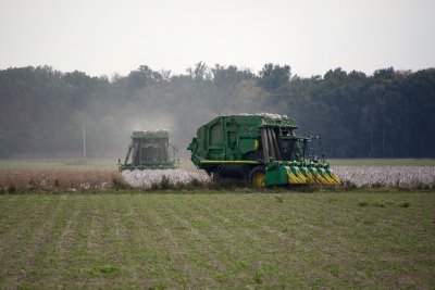 turning around for another swath |
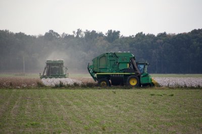 turning around |
 turning around |
 turning around |
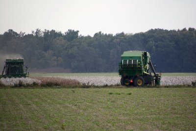
 starting another row |
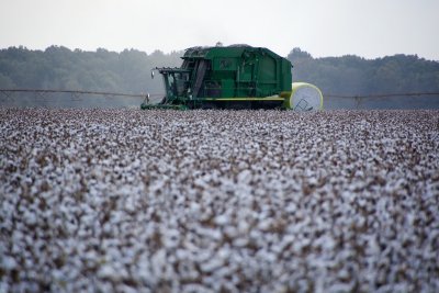 Cotton harvester in the field, looking like a beast from a Miyazaki film |
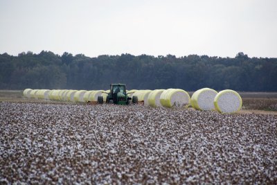 The cotton bales are lined up at the edge of the fields |
 These are maybe five feet tall, about the size of the familiar white hay bale marshmallows |
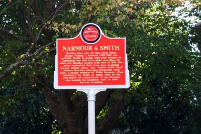
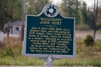 Mississippi John Hurt sign by the highway |
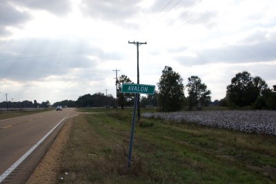 Avalon sign where Avalon used to be |
 Yellow bales hit by sun |
 White junk on the roadside isn't litter, it's stray cotton. |
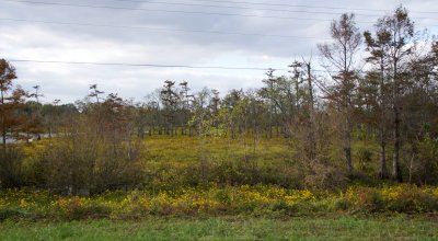 Yazoo delta swamps |
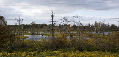 Yazoo delta swamps |
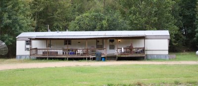 A pretty typical farm shack near Yazoo City |
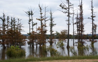 Yazoo Delta cypress swamp |
 Surprised to see some logging around |
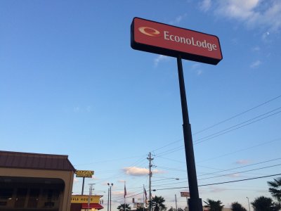 Last motel on the southward trip |
 Approaching NOLA on I-55 |
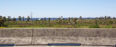
 Lake Maurepas from I-55 |
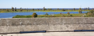
 Lake Maurepas from I-55 |
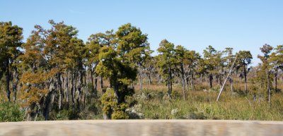 Cypress swamp near NOLA |
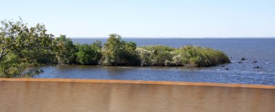
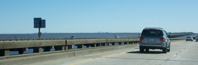 New Orleans across Lake Pontchartrain |
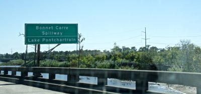 Bonnet Carre spillway along I-10 |
| comment | share |