


|
|
|
|
|
|
| clamflats | profile | all galleries >> Alaska, Fall 1994 >> Denali Highway and Denali Itself | tree view | thumbnails | slideshow | map |
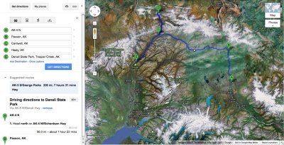 Denali Highway route |
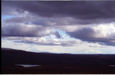 last sight of Wrangells from beginning of the Denali Highway |
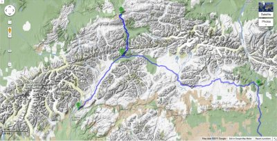 Denali Hwy topo map |
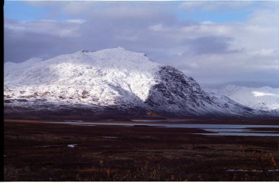
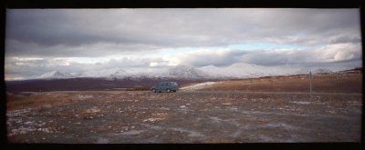 Amphitheater Mountains from the beginning of the Denali Highway |
 Amphitheater Mountains and Glacier Gap Lake from Denali Hwy |
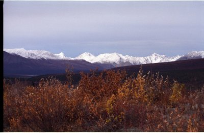
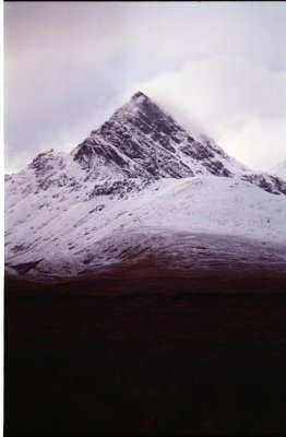 Clearwater Mountains from Denali Highway |
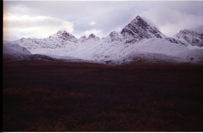 Clearwater Mountains from Denali Highway |
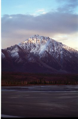 Clearwater Mountains from Susitna River bridge |
 Looking north to West Fork Glacier from Susitna River bridge |
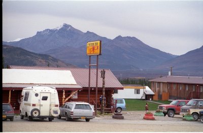 Totem Inn Motel, near Denali NP |
 Looking for Denali from the highway, in vain |
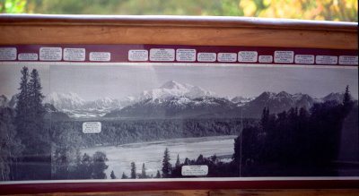
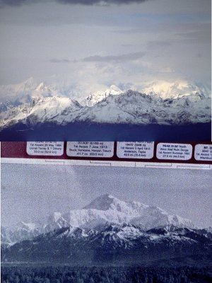
 Supposed to look like this |
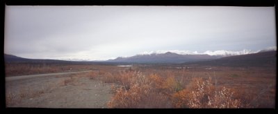
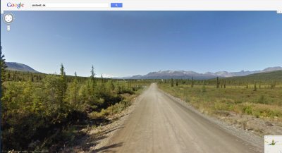
 Denali Hwy near Cantwell |
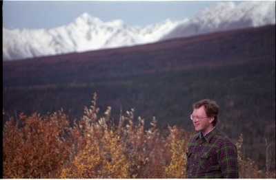 Denali Highway near Cantwell |
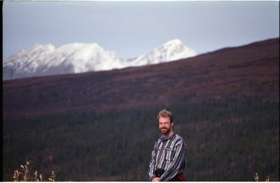 Denali Highway near Cantwell |
 Denali Highway near Cantwell |
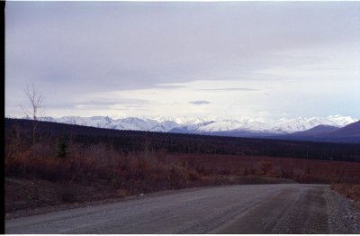
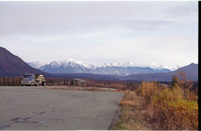 Broad Pass, looking north to Cantwell |
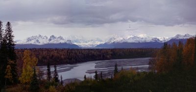
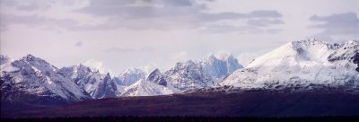 Getting rugged near Denali - stitched panorama |
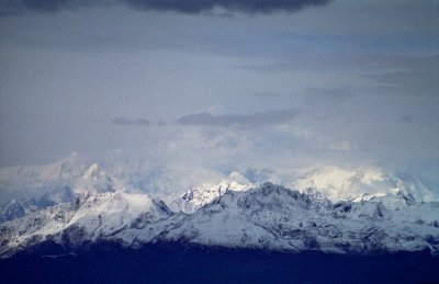
 What we're supposed to see at the Denali overlook |
 What we see (a composite of many photos) |
 There's the mountain! |
 See it now? |
 Arrow marks the mountaintop |
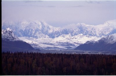 close-up of Ruth Glacier at the foot of the mountain |
| comment | share |