


|
|
|
|
|
|
| clamflats | profile | all galleries >> Alaska, Fall 1994 >> Dawson and Eagle via the Top of the World Highway | tree view | thumbnails | slideshow | map |
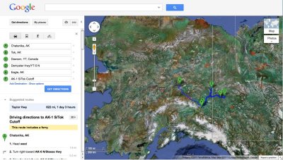 Route from Chatanika to Dawson City and Eagle via Tok |
 Leaving Chatanika |
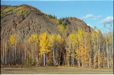
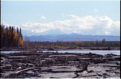 Tanana River from the Alaska Highway |
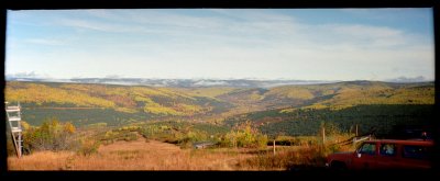
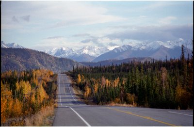
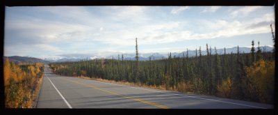 Alaska Highway view |
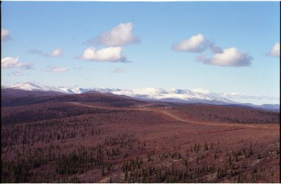
 Alaska Highway view |
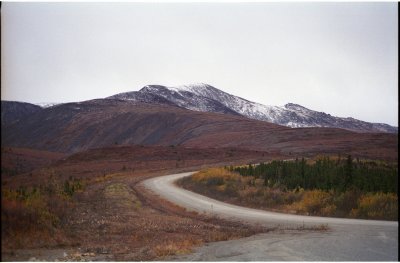 Mount Fairplay, along the Taylor Highway to Canada |
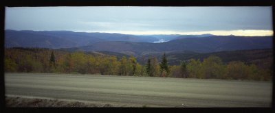 Yukon River from the Top of the World Highway |
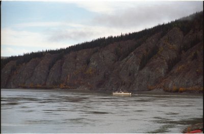
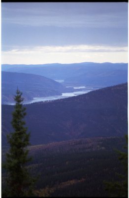 Yukon River near Dawson |
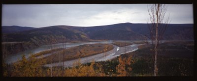 Yukon River from the Top of the World Highway |
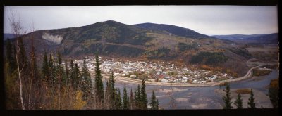 Dawson panorama |
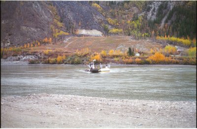 Yukon River ferry |
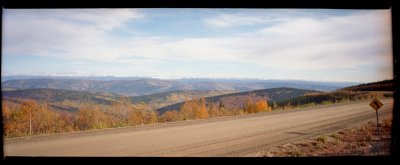
Dempster Highway stitched panorama, looking west - select original size for best view |
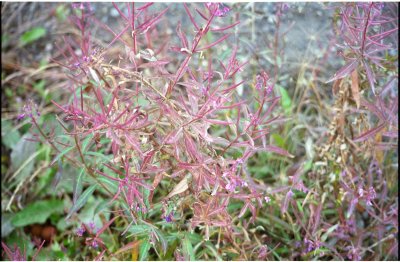 vegetation by the Klondike River |
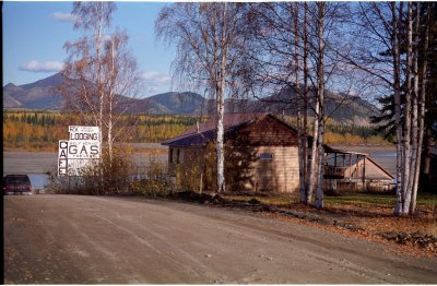
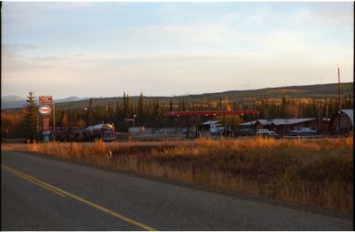 Klondike River Lodge |
 Yukon River ferry |
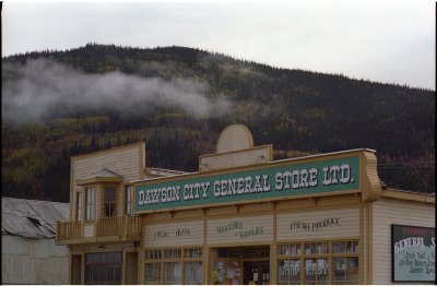
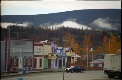 Dawson City, Yukon Territory |
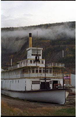 Dawson riverboat |
 Dawson |
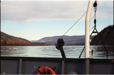 crossing the Yukon |
 Canadian Ogilvie Mountains from Top of the World Highway |
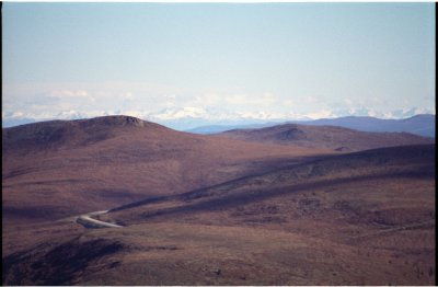
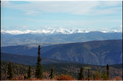 Ogilvies on the horizon - looking northeast |
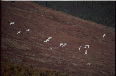 my first Rock Ptarmigans |
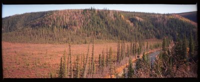
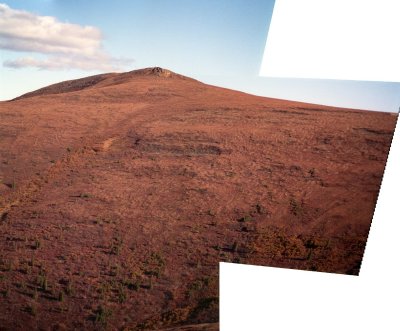 Solifluction stitched panorama |
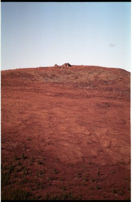 Solifluction and a tor |
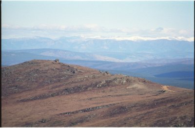 Rugged country near US border |
 Bare mountaintops near US border |
 US-Canada border crossing from Canadian side |
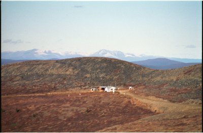
 airstrip at Boundary, AK |
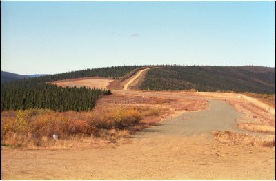
 Fortymile River at Taylor Hwy |
 Wintry view on the way to Eagle |
 Eagle, AK riverbank view |
Yukon River at Eagle, stitched panorama |
 Eagle cafe |
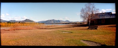
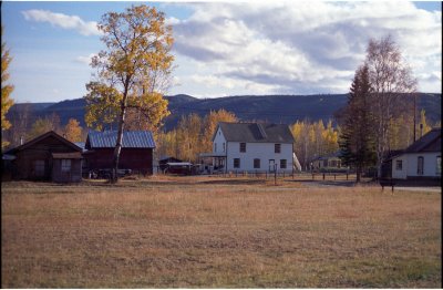 Downtown Eagle |
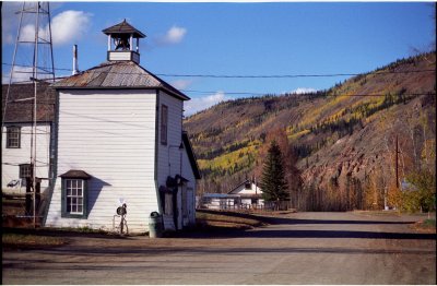 Town pump house at Eagle |
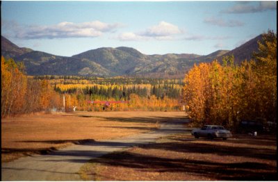
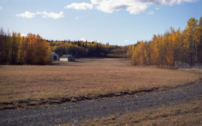 Eagle airstrip/field at edge of town |
 Eagle airstrip in use |
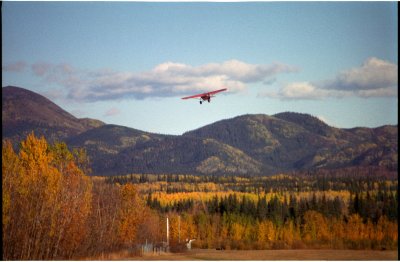 airstrip in use |
 cliffs at the downstream end of town |
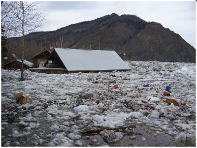 Eagle Cafe during May 2009 flood |
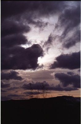 Mertie Mountains sunset |
| comment | share |