


|
|
|
|
|
|
| clamflats | profile | all galleries >> 2014 Road Trip: Boston to Alaska and Back >> Travelogue photos: from Boston to Calgary, Jul 26- Aug 2 | tree view | thumbnails | slideshow | map |
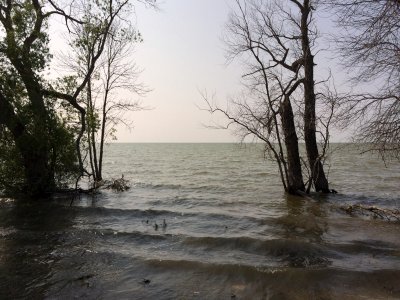
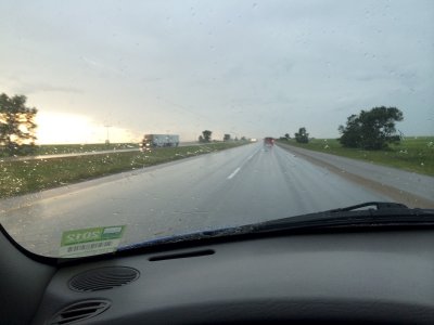
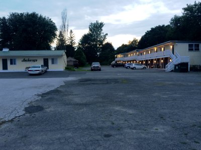 Day 1: Rouses Point, NY on Lake Champlain |
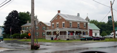
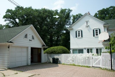
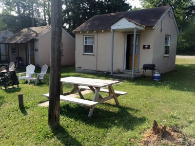
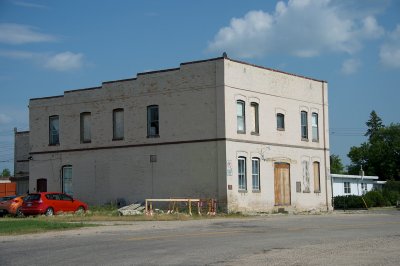
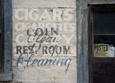 Building of many uses, Rouses Point |
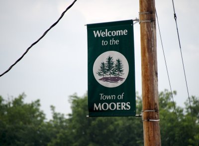 I just like the name "Mooers." |
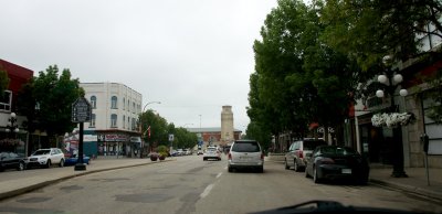
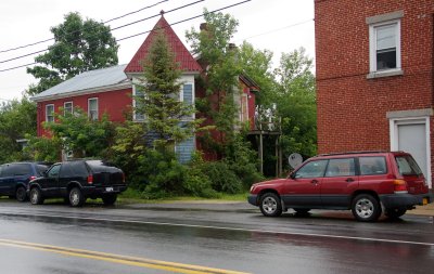 Day 2: Downtown Mooers |
 Mooers architecture |
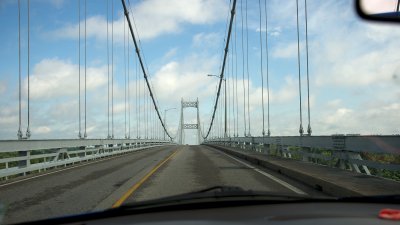 Bridge to Canada at Cornwall, ON |
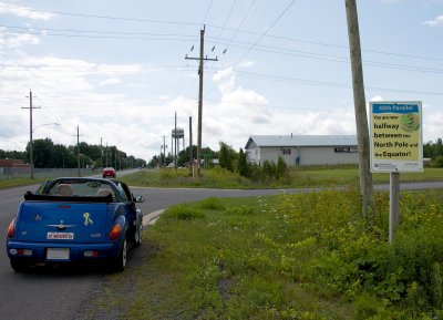 A milestone in Ingleside, ON |
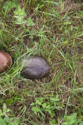 Why did the turtle start across the road? |
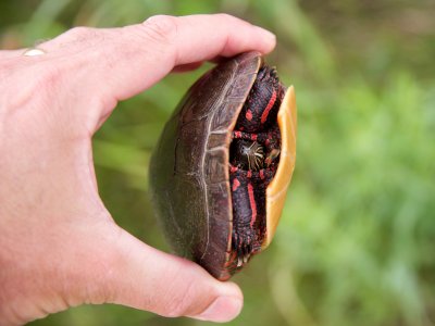 I don't know my turtle species. |
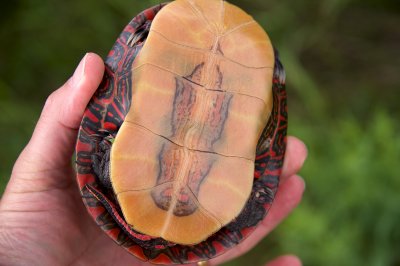 Maybe someone can tell me what variety of turtle this is. |
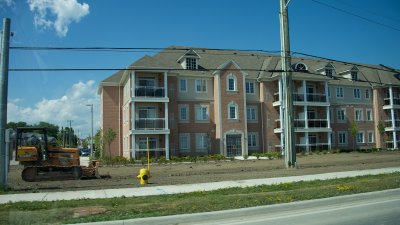 Townhouse construction outside Toronto |
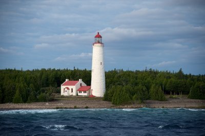
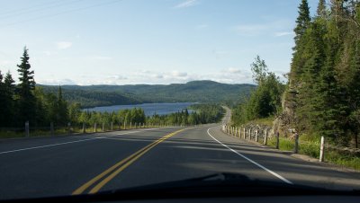
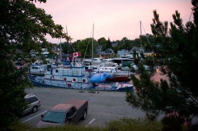 Tobermory on Lake Huron |
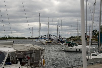
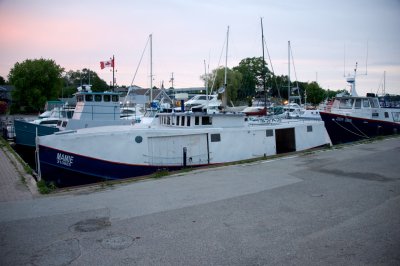 The Little Tub in Tobermory |
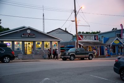 Tobermory has a bookstore! |
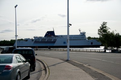
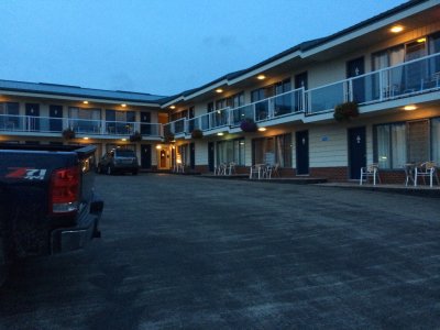 Early morning Day 3, Leaving Tobermory hotel for the ferry |
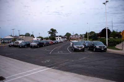 waiting for the ferry Chee-Chimaun |
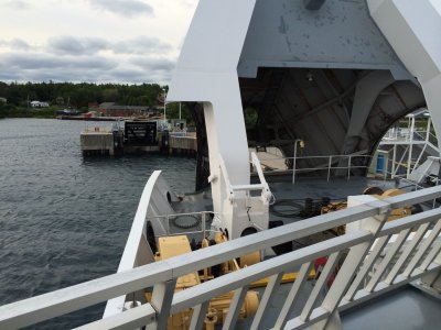
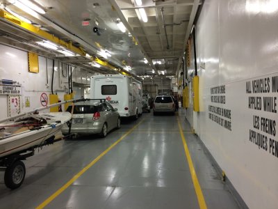
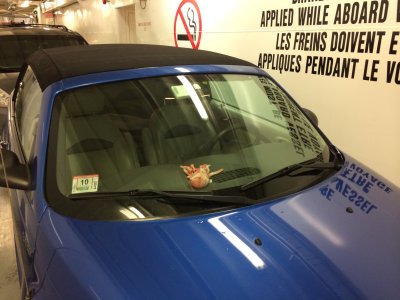 Parked aboard |
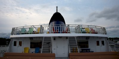 Aboard the Chee-Chimaun |
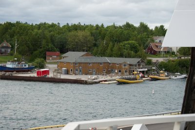 Tobermory docks |
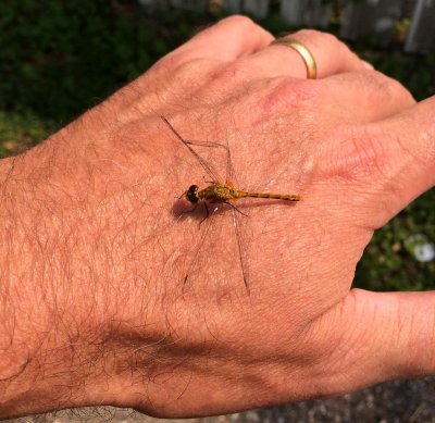
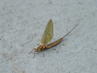 Mayfly hitching a ferry ride |
 Ferry leaving the dock |
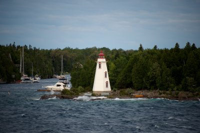 Tub lighthouse from the ferry |
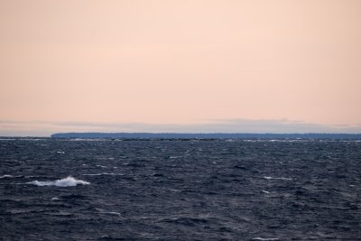
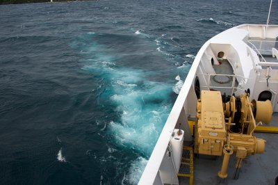 Blue-green Huron water |
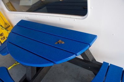
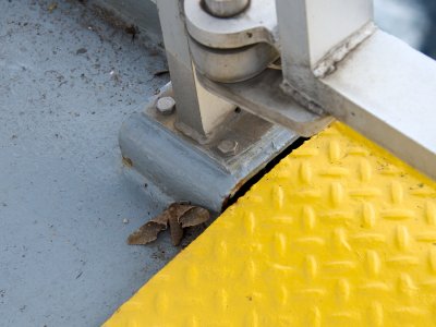 Sphinx moth hitching a ferry ride |
 Sphinx moth hitching a ferry ride |
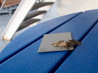 Modest Sphinx hitching a ferry ride |
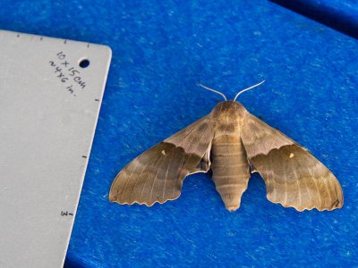 Modest Sphinx hitching a ferry ride |
 view from the Chee-Chimaun |
 Cove Island Lighthouse from the ferry |
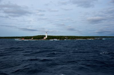 Cove Island Lighthouse again |
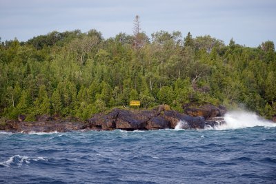 National park land from the ferry |
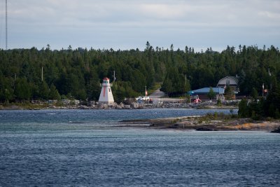 Harbor entrance at South Baymouth, Manitoulin Island |
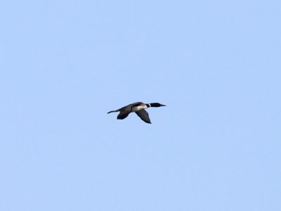 Common Loon in flight (from the ferry) |
 ready to disembark |
 Harbor at South Baymouth, Manitoulin Island |
 Manitoulin - Wikwemikong Unceded Indian Reserve |
 The Chee-Chimaun heading back to Tobermory |
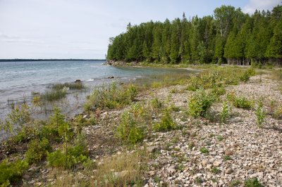 limestone beach on Manitoulin |
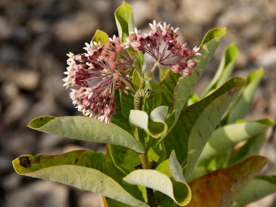 monarch caterpillar on milkweed |
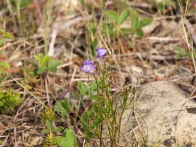 flower on the limestone beach |
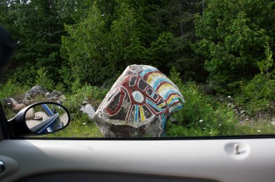 Painted boulder on Manitoulin |
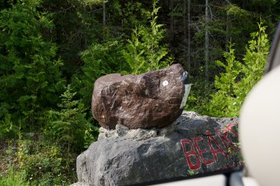 Painted boulder on Manitoulin |
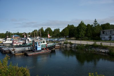
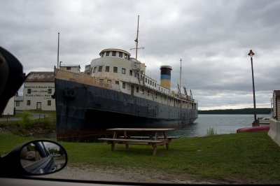 old grain port on Manitoulin |
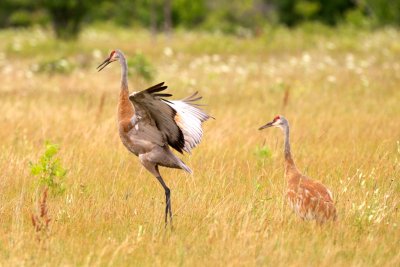
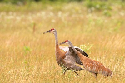 Sandhill Crane dancing |
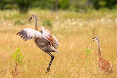
 Sandhill Crane dancing |
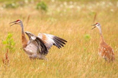
 Sandhill Crane dancing |
 Sandhill Crane dancing |
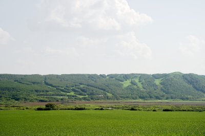
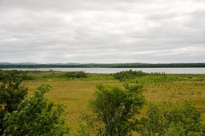 viewpoint on Manitoulin |
 viewpoint on Manitoulin |
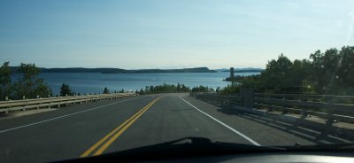
 Bridge from Manitoulin to the mainland |
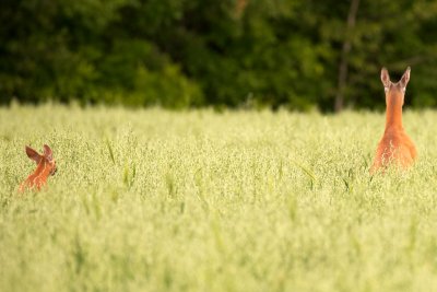 White-Tailed Doe and Fawn |
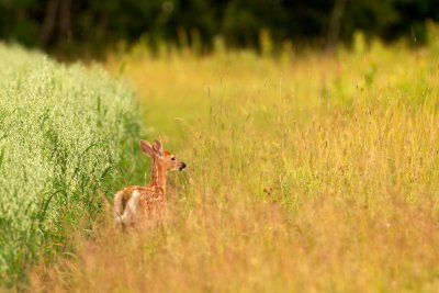 White-Tailed Fawn |
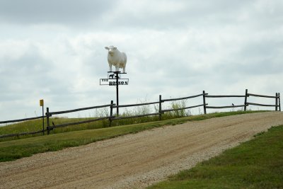
 Cattle and their companion |
 Cattle and their companion |
 approaching the Trans-Canada again |
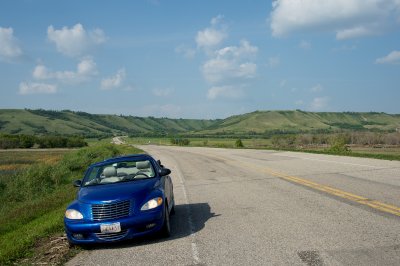
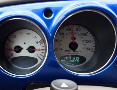 1000 miles from home |
 Commercial bison herd outside Sault Ste Marie |
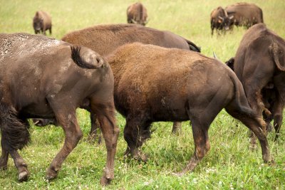 Commercial bison herd |
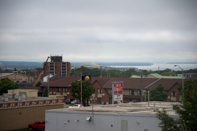 Day 3 - Sault Ste Marie |
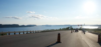
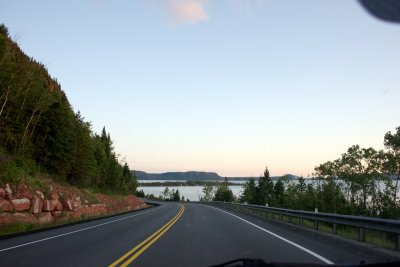
 Heading north along Lake Superior coast |
 Pancake Bay on Lake Superior |
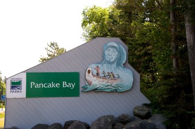 Pancake Bay sign honors the Voyageurs |
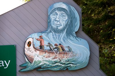 Who apparently got in a lot of fistfights based on the blue guy's nose |
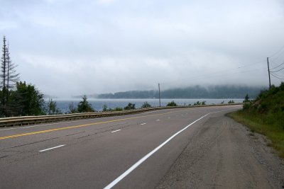
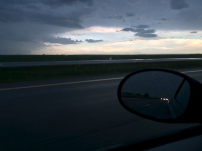
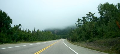 More Lake Superior fog |
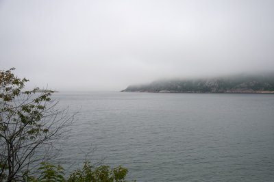 More Lake Superior fog |
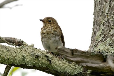 Swainson's Thrush juvenile |
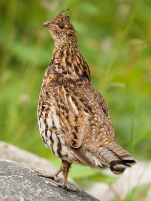 Ruffed Grouse |
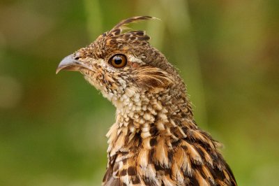 Ruffed Grouse |
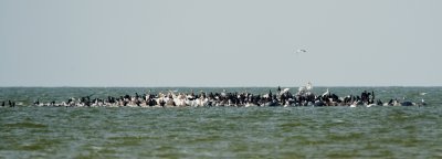
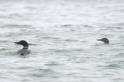 Common Loons in Lake Superior fog |
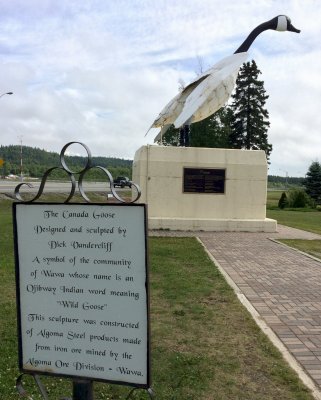 The Wawa Goose |
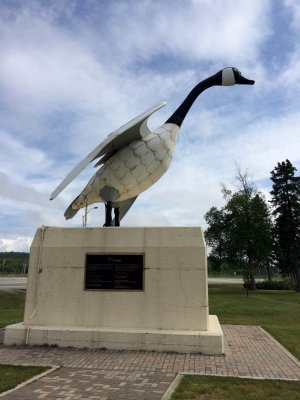 The Wawa Goose |
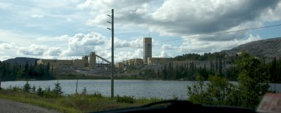 Mining along Superior's north coast |
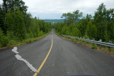
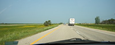
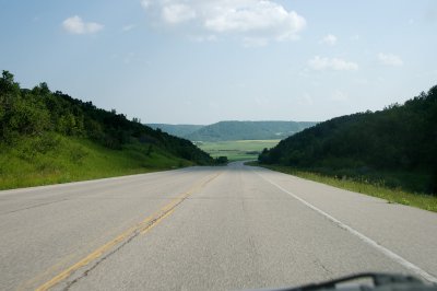
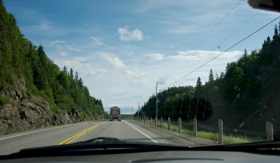 Typical driving view |
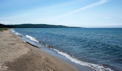
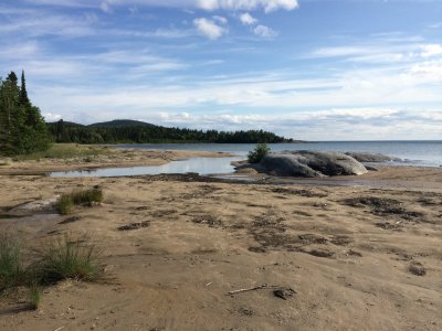
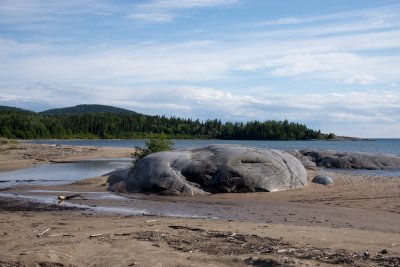 Lake Superior beach with glacially smoothed outcrops |
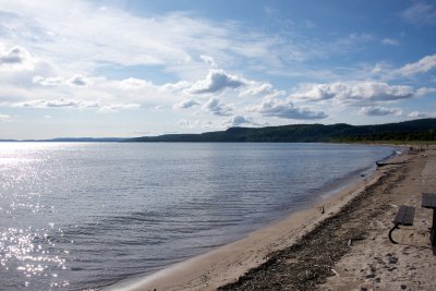 Beach at Neys PP |
 Beach at Neys PP |
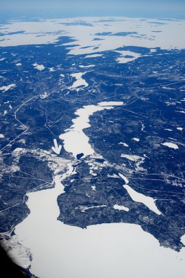
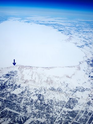
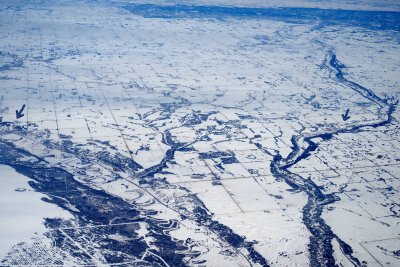
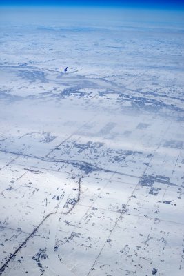
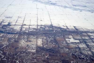
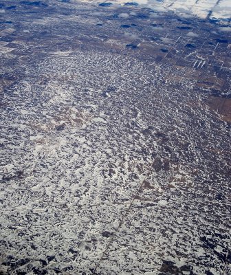
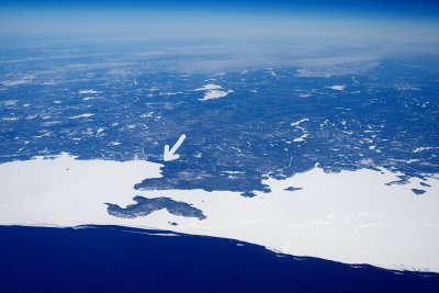 Neys Provincial Park from the air, March 2014 |
 Inland lakes along north shore of Superior |
 Finally reaching the coast, east of Rossport, ON |
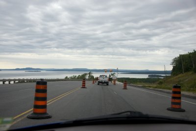
 Road construction was a fact of life along this section |
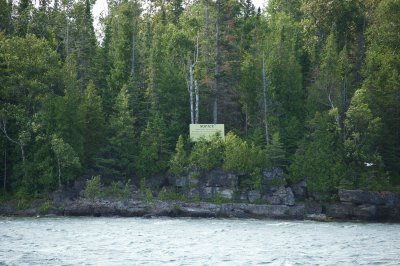
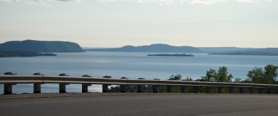 Lake Superior islands |
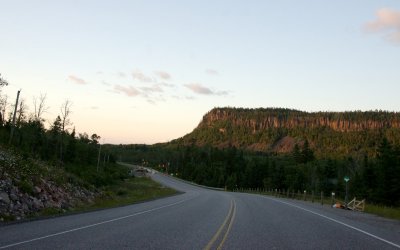
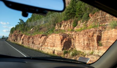 Cliffs east of Nipigon |
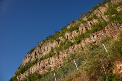 Cliffs near Nipigon |
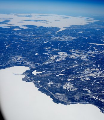 Kama Hills near Nipigon from the air |
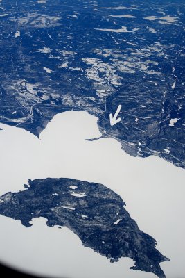 Vert Island near Nipigon from the air, march 2014 |
 Cliffs near Nipigon |
 Doubling back east along the Lake Superior coast |
 Day 4: starting from motel at Gravel River |
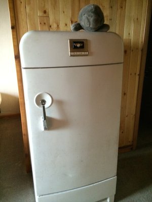 Antique appliances at the Gravel River motel |
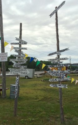 Distances from Gravel River |
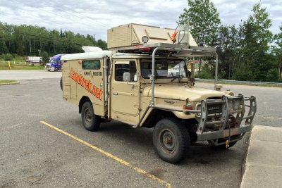 Landtrek long-distance travelers in Nipigon |
 downtown Nipigon from the air |
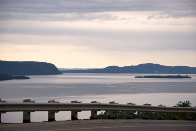
 Last views of Lake Superior on the way to Thunder Bay |
 Lake Superior's northern islands |
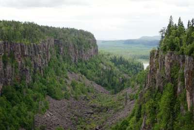
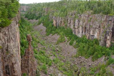 Ouimet Canyon |
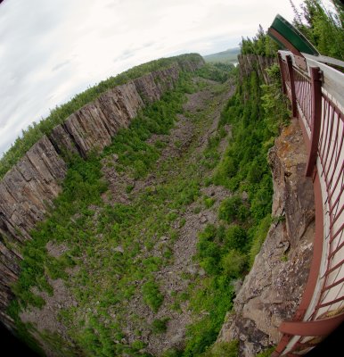
 Ouimet Canyon through the fisheye lens |
 Ouimet Canyon through the fisheye lens |
 Ouimet Canyon through the fisheye lens |
 Looking out the mouth of Ouimet Canyon |
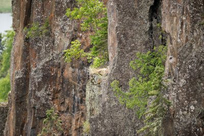 Peregrine Falcon nest on the canyon wall |
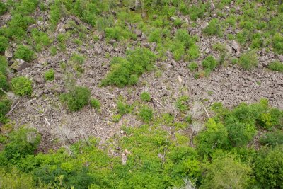 Looking down at the canyon bottom |
 Canyon bottom through the bird lens |
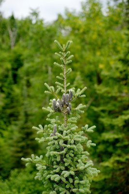 Spruce top at Ouimet canyon |
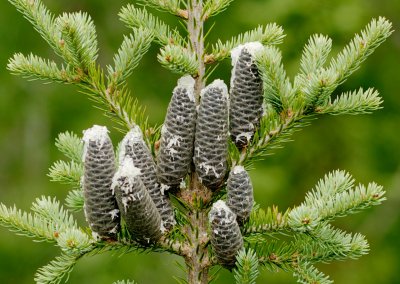 Spruce top close-up |
 Ouimet Canyon treetops |
 Ouimet Canyon summit road |
 Approaching lake country |
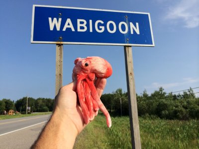 Lake Wabigoon! |
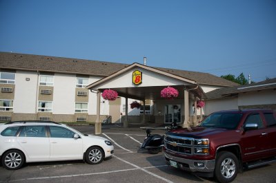
 End of Day 4: Super 8 Honeymoon Suite in Kenora, ON |
 Day 5: leaving the Super 8 |
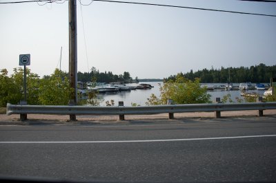 Kenora is in lake country. |
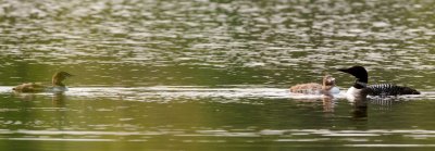 Common Loon with young (Loonlets? Loonlings?) outside Kenora |
 Common Loon with young |
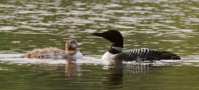
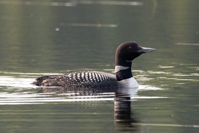 Common Loon |
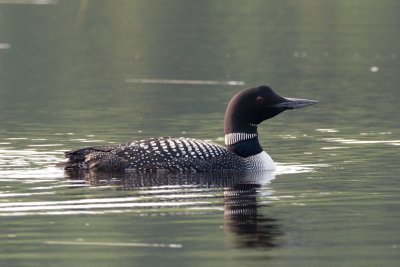 Common Loon |
 Leaving the woods for the Great Plains at last |
 Plains view |
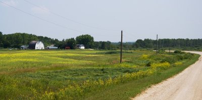
 Classic Manitoba view |
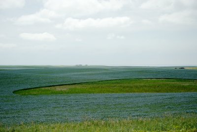
 The bluish flowers are flax |
 Lake Winnipeg is Huuuuuge |
 Mississippi Kite nest in Winnipeg |
 Mississippi kite nest site |
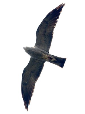 Winnipeg Mississippi Kite in flight |
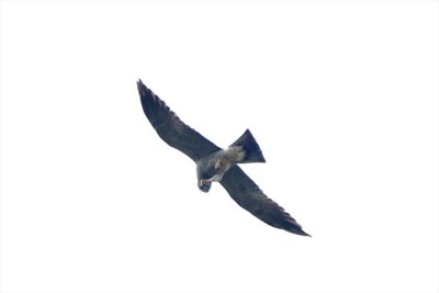 Winnipeg Mississippi Kite feeding |
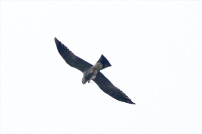 Winnipeg Mississippi Kite feeding |
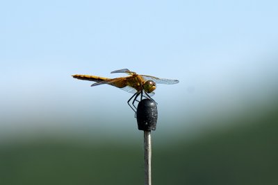
 Black Meadowhawk dragonfly |
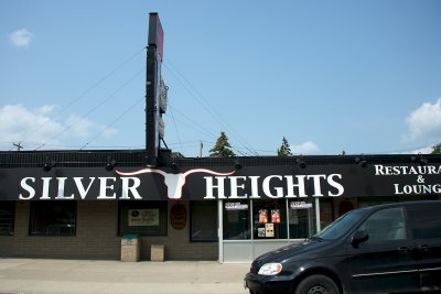 Local bar in Winnipeg |
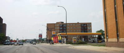 Winnipeg architecture from long ago |
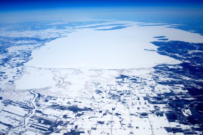
 Lake Manitoba in winter, from the air |
 Lake Manitoba |
 White Pelicans in Lake Manitoba |
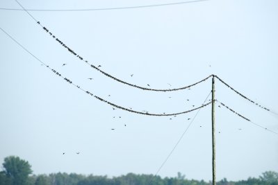 Bank Swallows massing near Lake Manitoba |
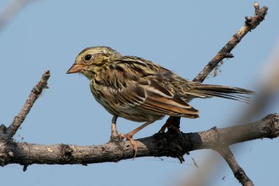
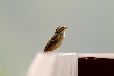
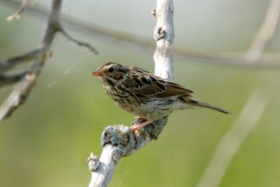 Savannah Sparrow |
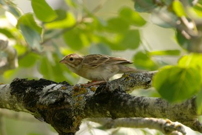
 Clay-Colored Sparrow (I think) |
 Clay-Colored Sparrow |
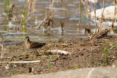 Wikson's Snipe |
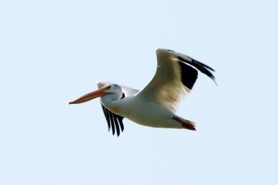 White Pelican |
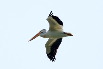 White Pelican |
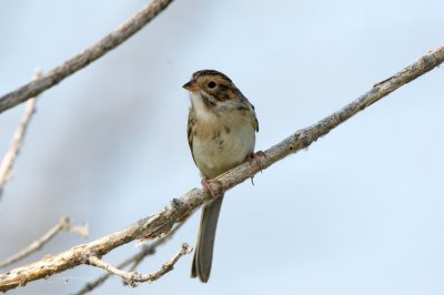
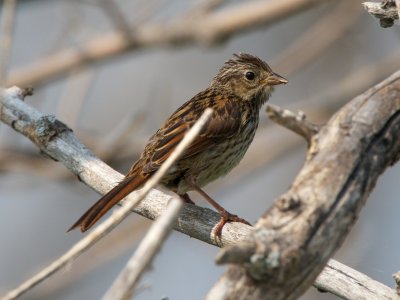 mystery sparrow 1 |
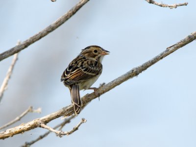
 mystery sparrow 2 |
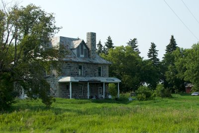 old stone house outside Portage la Prairie |
make way for these |
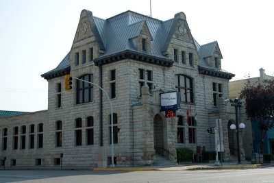 Portage la Prairie city hall |
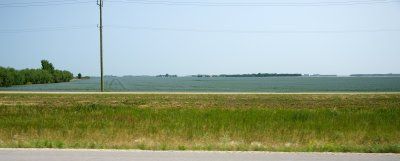
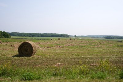
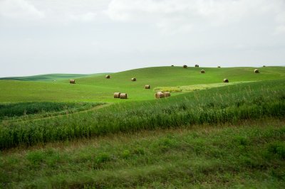
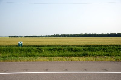 grain fields along the Trans-Canada |
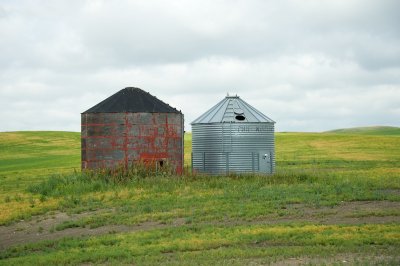
 Outdated storage facility |
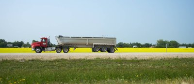
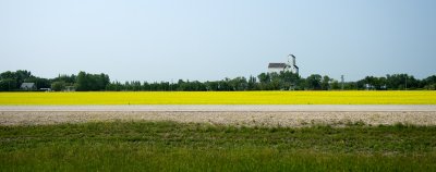
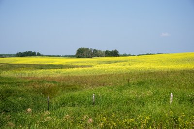
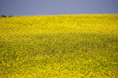
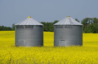
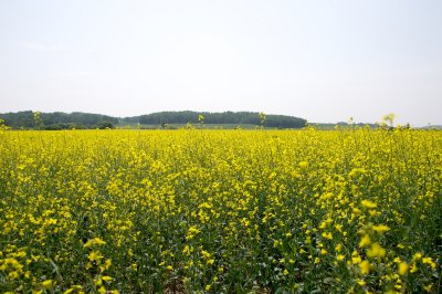
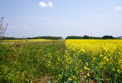
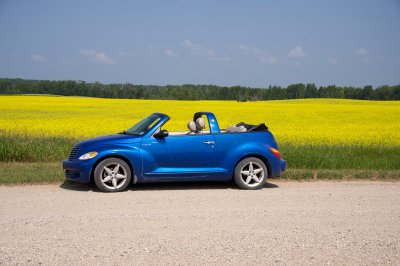
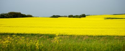 Canola field |
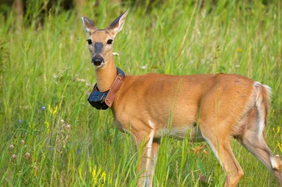 Mule deer with radio collar, Riding Mountain park |
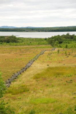
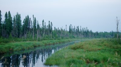 Bog at twilight, Riding Mountain |
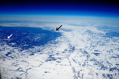 Riding Mountain from the air |
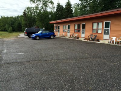
 Day 6: cabin at Riding Mountain |
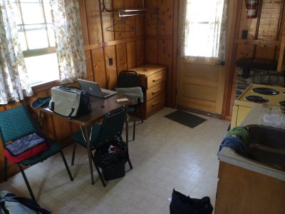
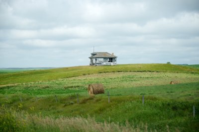
 My cabin at Riding Mountain |
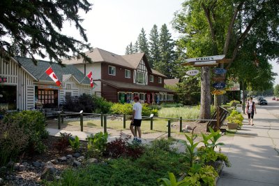 village center, Riding Mountain |
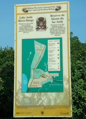 Bison enclosure, Riding Mountain |
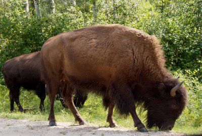 Wood bison female |
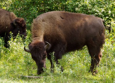 Wood bison female |
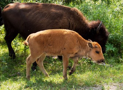
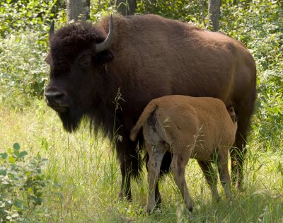 Wood bison female and calf |
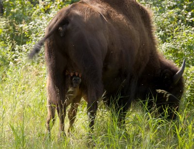 Wood bison female with determined nursing calf |
 Wood bison female |
 Wood bison female |
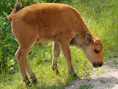
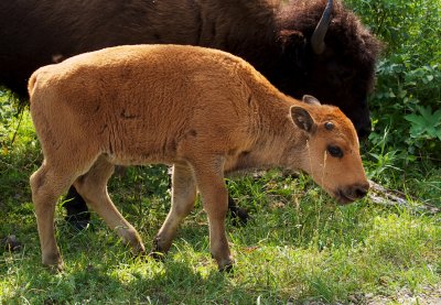 Wood bison calf |
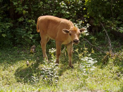
 Wood bison calf |
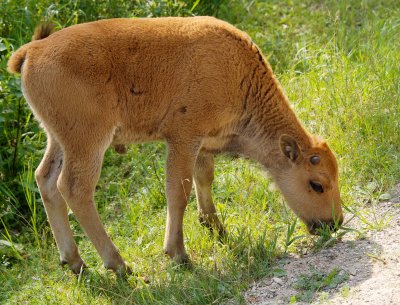 Wood bison calf |
 Wood bison calf |
 Wood bison calf |
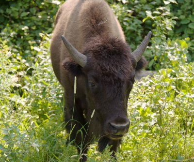
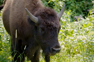
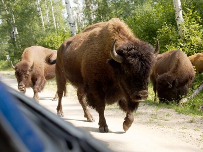 Wood bison male appears from the woods |
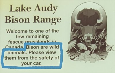 Wood bison warning sign |
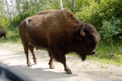 Wood bison male |
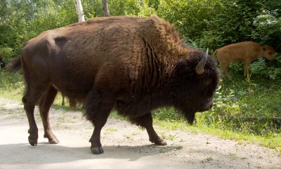 Wood bison male |
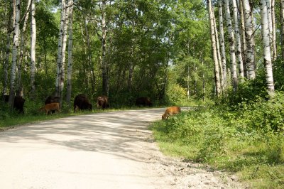 wood bison habitat |
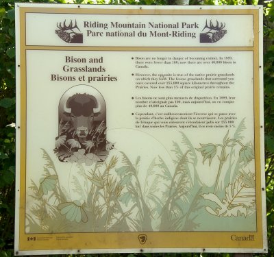 The bison aren't endangered, but the habitat is. |
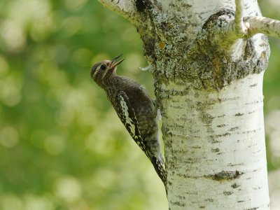 Yellow-Bellied Sapsucker juvenile |
 Clay-Colored Sparrow |
 Clay-Colored Sparrow |
 Eastern Phoebe on nest |
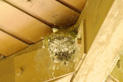
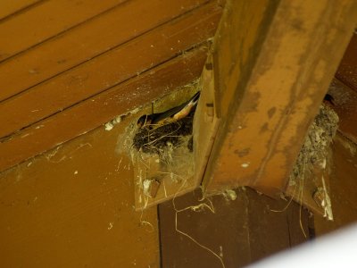 Barn Swallow building nest out of mud |
 what is this, Middle-Earth? |
 heading southwest from Riding Mountain NP |
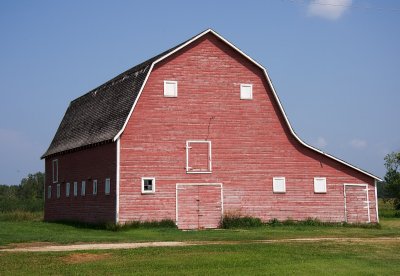
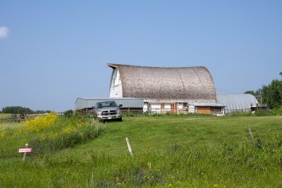 farm barn south of Riding Mountain NP |
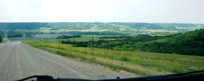
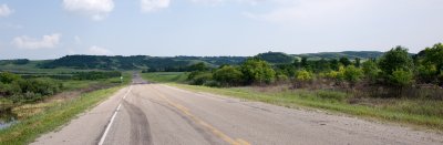
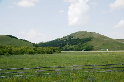
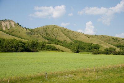
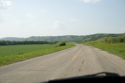
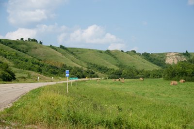
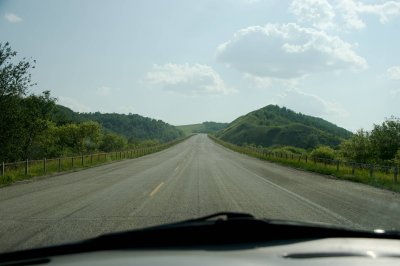
 hilly country south of Riding Mountain |
 hilly country south of Riding Mountain |
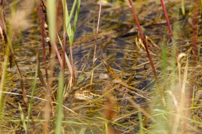 Leopard frog in a grassy puddle |
 Canola field |
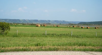
 hilly country south of Riding Mountain |
 hilly country south of Riding Mountain |
 Canola field |
 Canola field |
 Canola field |
 a non-yellow flower for a change |
 Canola field |
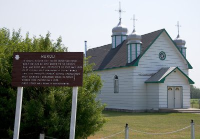 Ukranian settlement at Horod, Manitoba |
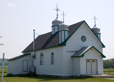 Church at Horod, MB |
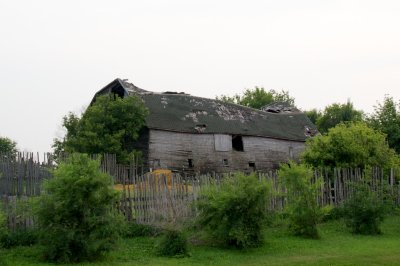
 old barn west of Horod |
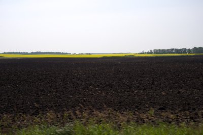 plowed canola field |
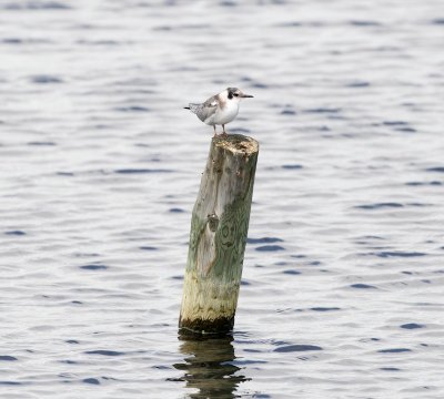
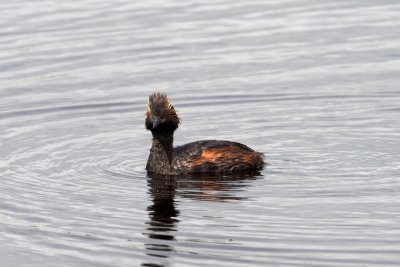
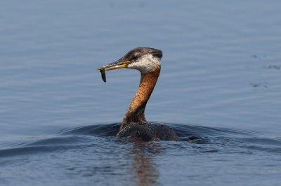 Red-Necked Grebe adult |
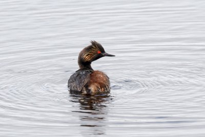
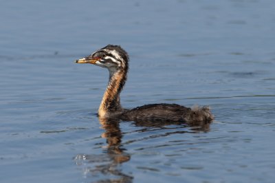 Red-Necked Grebe juvenile |
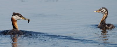 Red-Necked Grebe adult and juvenile |
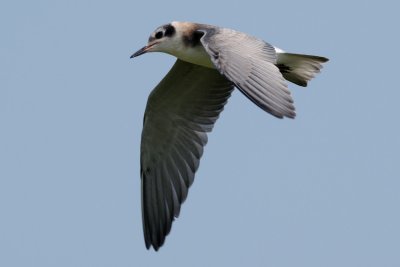
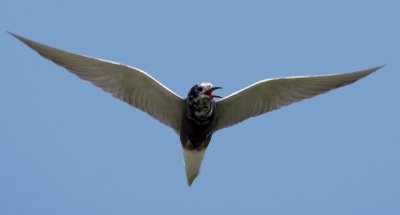
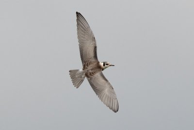
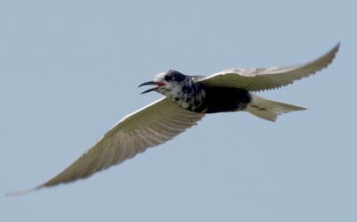 Black Tern in flight |
 Black Tern in flight |
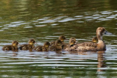
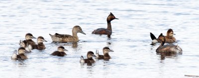
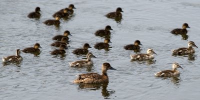
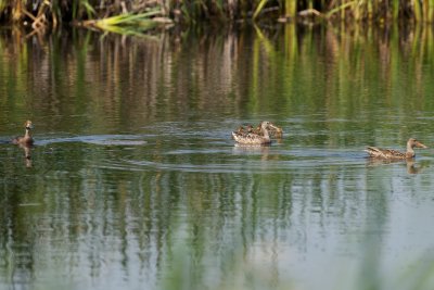 Northern Shoveler females with Lesser Scaup ducklings |
 Lesser Scaup female and ducklings |
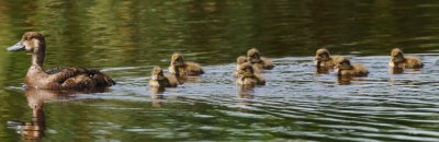 Lesser Scaup female and ducklings |
 Black Tern juvenile in flight |
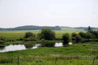
 productive meadow pond |
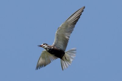
 Black Tern in flight |
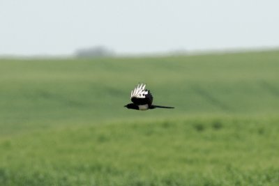 Black-Billed Magpie in flight |
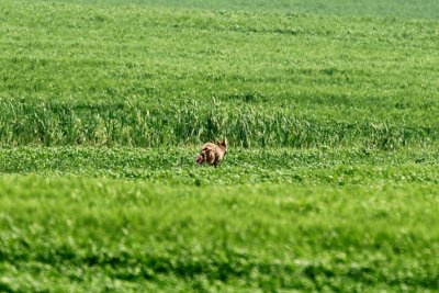 Coyote in a distant field |
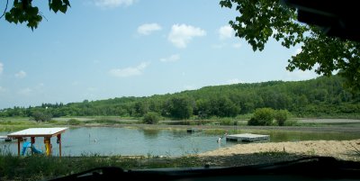
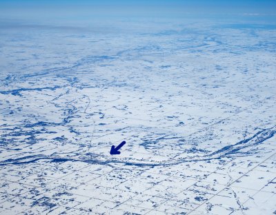 Birtle Beach from the air |
 Birtle |
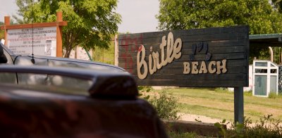 Birtle Beach |
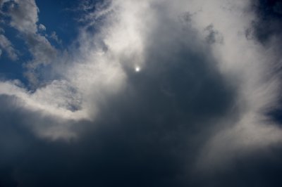 Weather getting iffy |
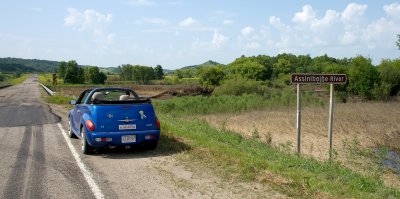
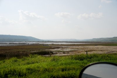
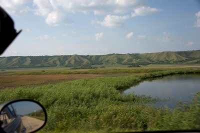
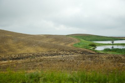
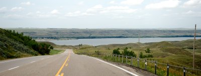
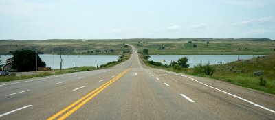
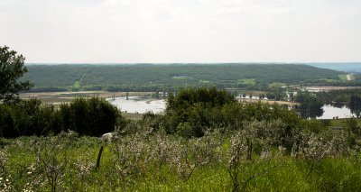 The Assiniboine River Valley at St-Lazare |
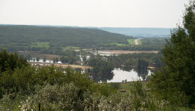 The Assiniboine River Valley at St-Lazare |
 Strange river crossing at St-Lazare |
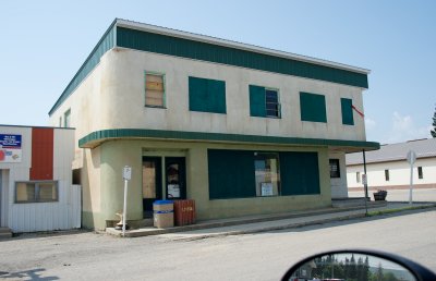 St Lazare downtown |
 St Lazare downtown |
 Saint Lazare (left) and Birtle (right) from the air |
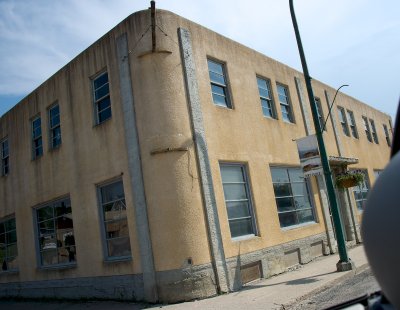
 Downtown Binscarth |
 Assiniboine Valley west of Binscarth |
 Assiniboine Valley bottom, west of Binscarth |
 Assiniboine River |
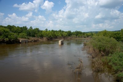 Assiniboine River |
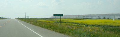 Mosaic potash mine near Esterhazy |
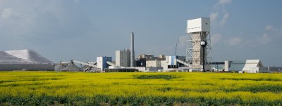 Mosaic potash mine near Esterhazy, SK |
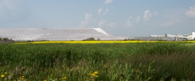 Mosaic potash mine near Esterhazy |
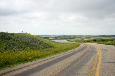
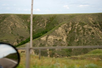
 Qu'Appelle River Valley |
 Qu'Appelle River Valley |
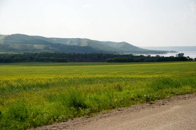 Qu'Appelle River Valley |
 Qu'Appelle River Valley |
 Qu'Appelle River Valley |
 Qu'Appelle River Valley |
 Qu'Appelle River Valley |
 Qu'Appelle River Valley |
 Crooked Lake in the Qu'Appelle River Valley from the air, March 2014 |
 Qu'Appelle River Valley west of Crooked Lake |
 Qu'Appelle River Valley west of Crooked Lake |
 Black Meadowhawk dragonfly |
 Qu'Appelle River Valley west of Crooked Lake |
 Qu'Appelle River Valley west of Crooked Lake |
 Climbing out of the Qu'Appelle River Valley |
 Iconic Saskatchewan |
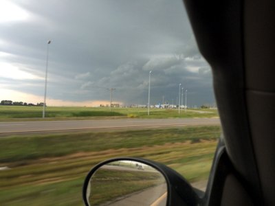 Huge thunderstorm over Regina |
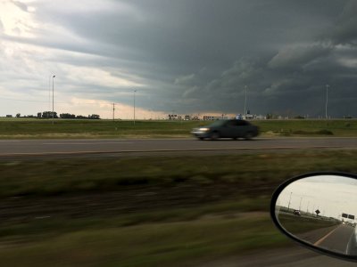 Huge thunderstorm over Regina |
 Heading around Regina on the Trans-Canada |
 Huge thunderstorm over Regina |
 Western edge of the thunderstorm near Moose Jaw |
 Moose Jaw! |
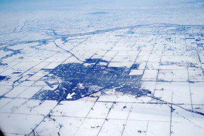
 Moose Jaw from the air, March 2014 |
 Day 7: leaving Moose Jaw |
 Civic improvements in Moose Jaw |
 downtown Moose Jaw |
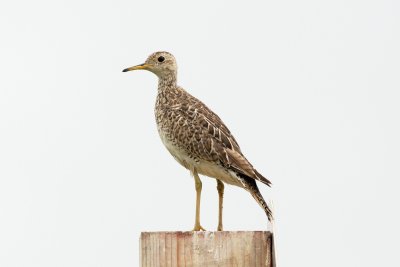 Upland Sandpiper south of Moose Jaw |
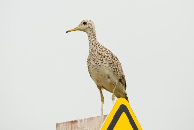 Upland Sandpiper |
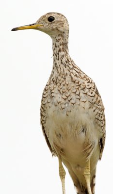 Upland Sandpiper |
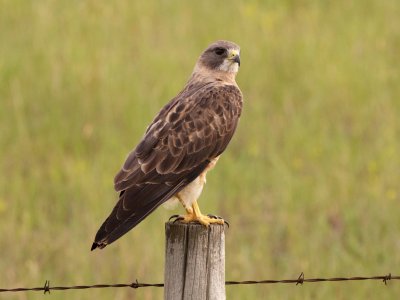
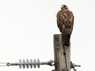 Swainson's Hawk west of Moose Jaw |
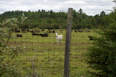
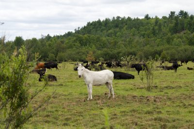
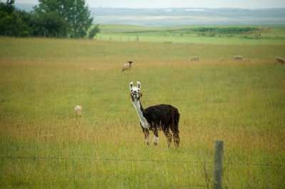 Llama! |
 Pockmarked pond country southwest of Moose Jaw |
 the ponds look like this at ground level |
 country of small hills (mostly pasture) and countless little ponds |
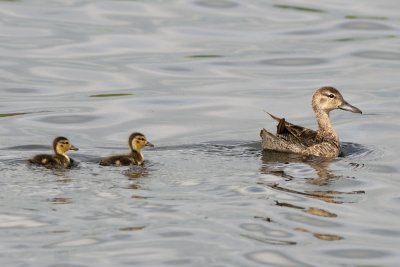
 Ruddy Duck family - female and ducklings |
 Black Tern juvenile |
 Black Tern juvenile |
 Eared Grebes, Ruddy Duck family and a mystery duck |
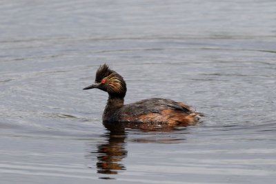 Eared Grebe, southwest of Moose Jaw |
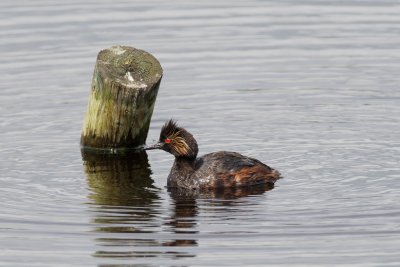 Eared Grebe |
 Eared Grebe |
 Eared Grebe |
 A Cattle Family |
 Abandoned schoolhouse southwest of Moose Jaw |
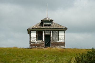 Abandoned schoolhouse southwest of Moose Jaw |
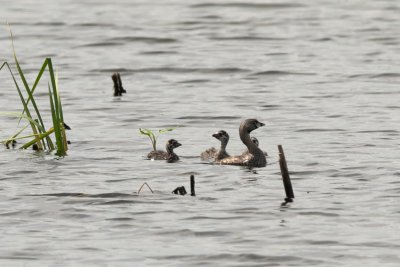 Pied-Billed Grebe family: adult and young juveniles |
 Mystery duck and ducklings |
 Not sure what the name for these storage buildings is. |
 pothole country southwest of Moose Jaw |
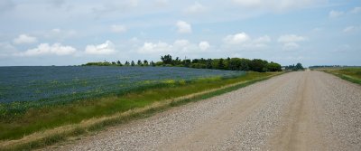
 Flax field southwest of Moose Jaw |
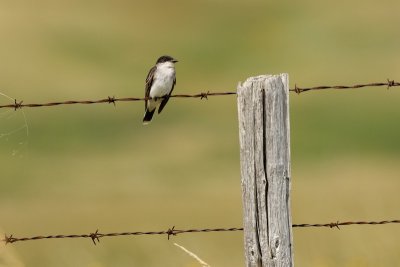 Eastern Kingbird |
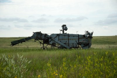 Old farm equipment |
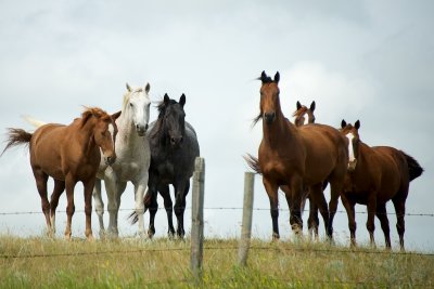 Howdy horses |
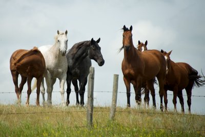 Howdy horses |
 More flax |
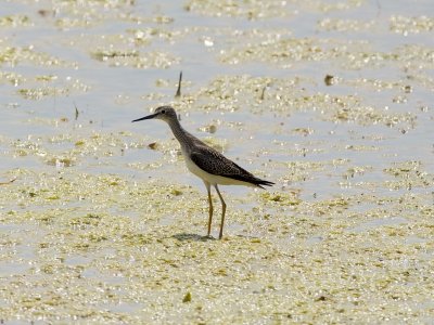 Solitary Sandpiper |
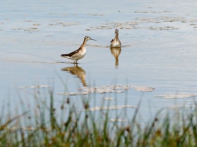
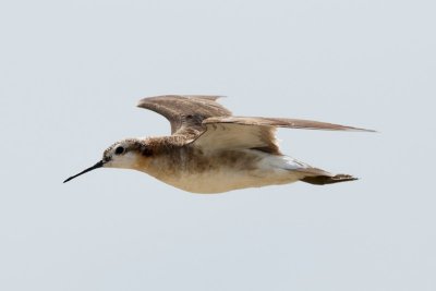
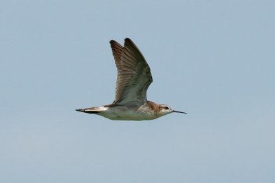 Wilson's Phalarope in flight |
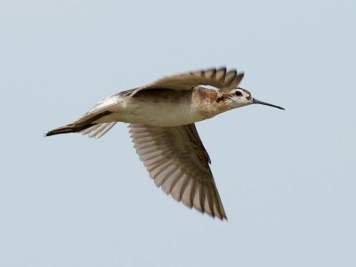
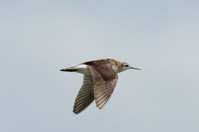 Wilson's Phalarope in flight |
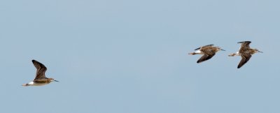 Wilson's Phalaropes in flight |
 Wilson's Phalaropes in flight |
 Wilson's Phalaropes |
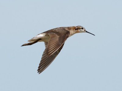
 Wilson's Phalarope in flight |
 Wilson's Phalarope in flight |
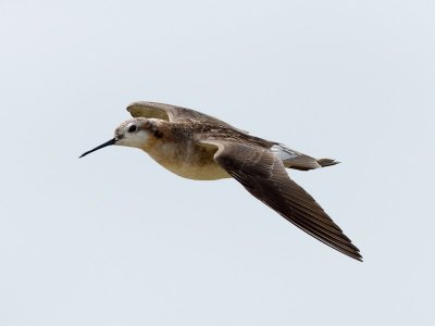 Wilson's Phalarope in flight |
 Wilson's Phalarope in flight |
 Mystery duck and ducklings (Lesser Scaup and Gadwalls?) |
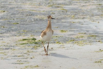
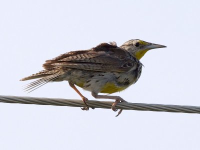
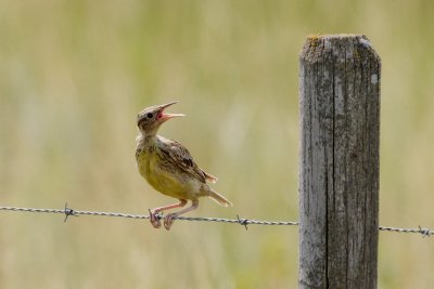 Western Meadowlark fledgling, Chaplin Lake |
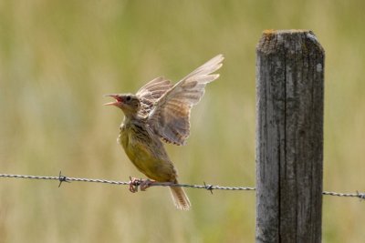 Western Meadowlark fledgling |
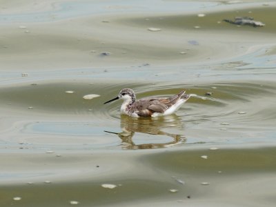 Wilson's Phalarope |
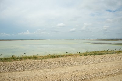 Chaplin Lake broad view |
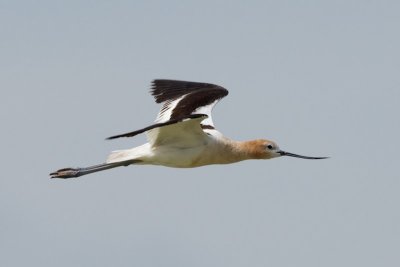 American Avocet |
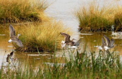
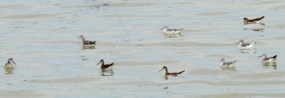 Wilson's Phalaropes, various plumage, Chaplin Lake |
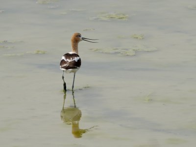 American Avocet |
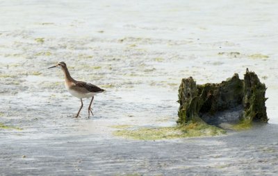 Wilson's Phalarope juvenile |
 Wilson's Phalarope juvenile |
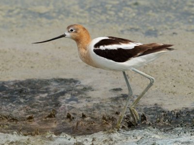 American Avocet |
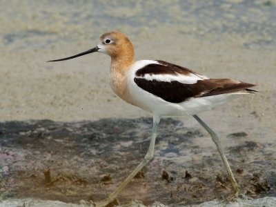 American Avocet |
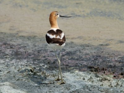 American Avocet |
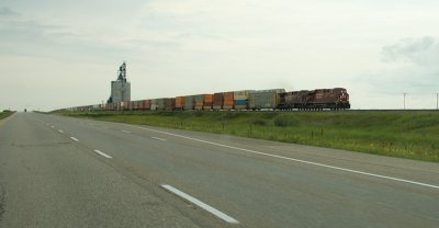 Prairie railroad train |
 Ferruginous Hawk juvenile |
 Ferruginous Hawk juvenile |
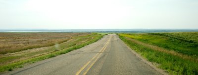
 Approaching Saskatchewan Landing Provincial Park |
 Descending to Lake Diefenbaker |
 crossing Lake Diefenbaker |
 looking west towards the South Saskatchewan River Valley from northeast of the landing |
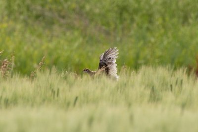 Sharp-Tailed Grouse juvenile |
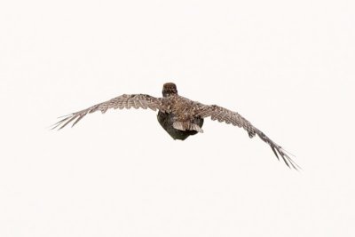 Sharp-Tailed Grouse juvenile |
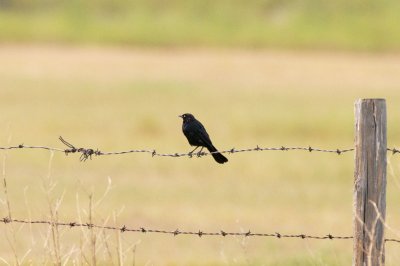 Brewer's Blackbird |
 Swainson's Hawk overhead |
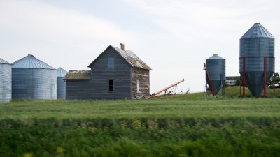 Abandoned farm building near Eston, SK |
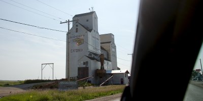 Eatonia, SK |
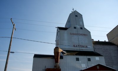 Eatonia, SK |
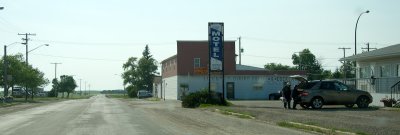 Eatonia, SK downtown |
 Eatonia, SK |
 stopping for first sagebrush of the trip |
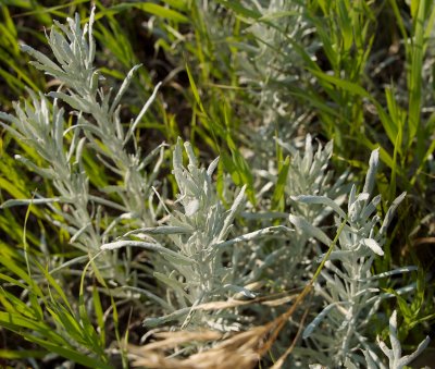 Wild sage! |
 roadside flowers |
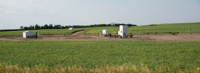 Some kind of well |
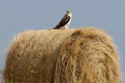
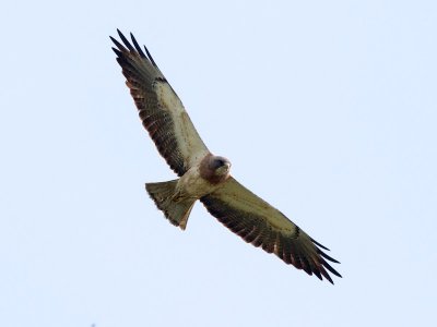
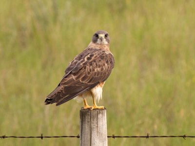
 Swainson's Hawk, across the border into Alberta |
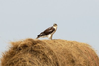
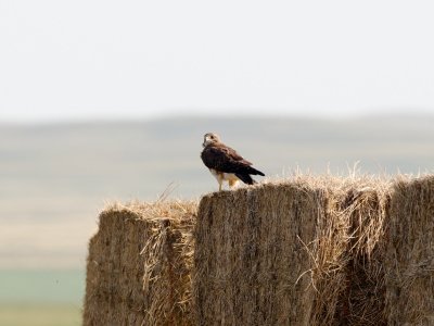
 Swainson's Hawk on his haybale perch |
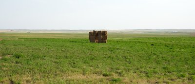
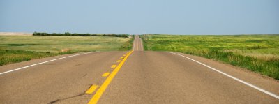 Back to seriously flat country |
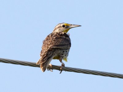 Western Meadowlark adult |
 Western Meadowlark |
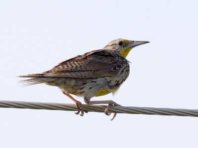 Western Meadowlark |
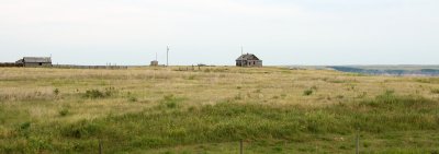
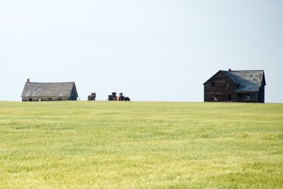 More abandoned farmhouses |
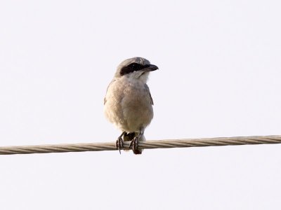 Loggerhead Shrike |
 Swainson's Hawk |
 Swainson's Hawk |
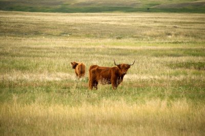 Highland cattle?? |
 Abandoned house near the Red Deer River |
 Entering the Red Deer River valley southwest of Drumheller, AB |
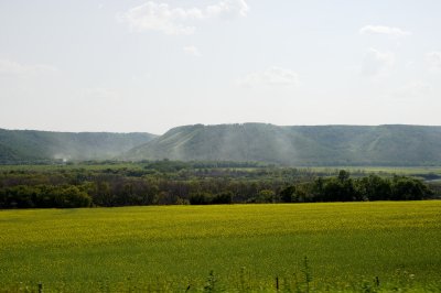
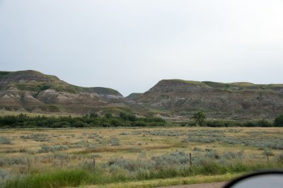
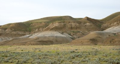 Red Deer River valley badlands |
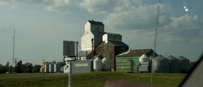
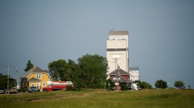
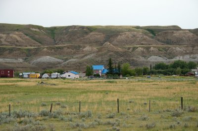
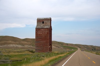 Red Deer River valley grain elevator |
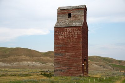 Red Deer River valley grain elevator |
 Red Deer River valley badlands |
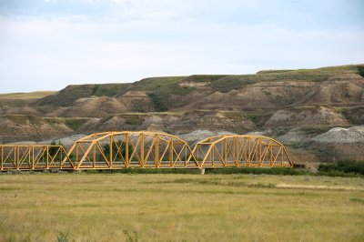 Red Deer River valley badlands and old bridge |
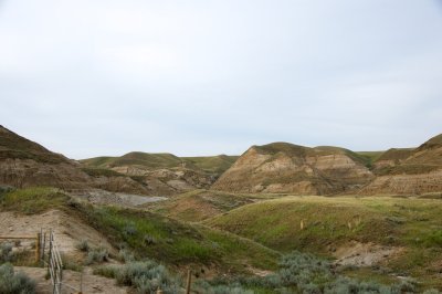 Red Deer River valley badlands |
 Red Deer River valley |
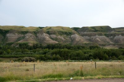 Red Deer River valley badlands |
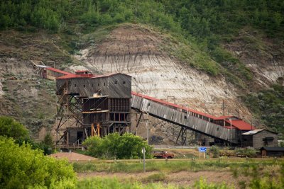 Atlas Coal Mine National Historic Site |
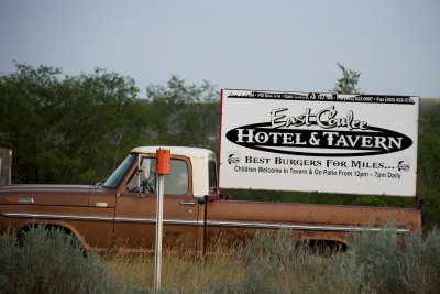 East Coulee, AB |
 End of the road at Calgary, August 2 (Day 8) |
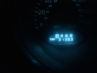 3,138.3 miles from home. |
| comment | share |
| joseantonio | 15-Oct-2014 12:11 | |