


|
|
|
|
|
|
| Christine Astell | profile | all galleries >> England >> Norfolk Broads | tree view | thumbnails | slideshow |
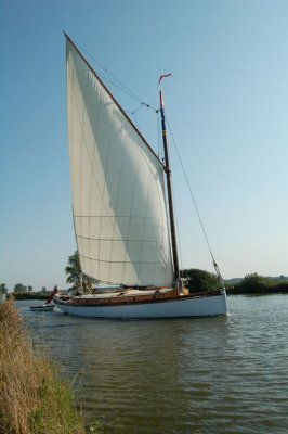 Wherry |
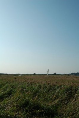 Wherry |
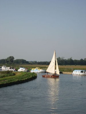 Wherry at Ludham |
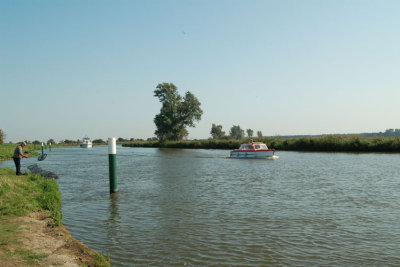 River Bure |
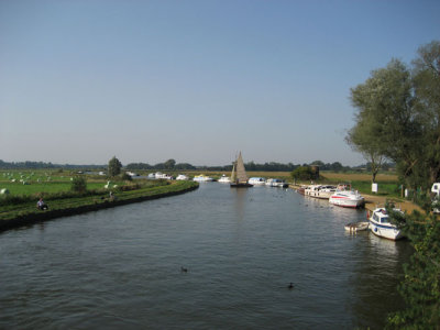 River Bure, Ludham |
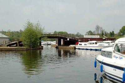 Wroxham 1 |
 Wroxham 2 |
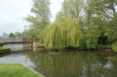
 Ludham Mill |
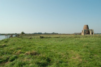
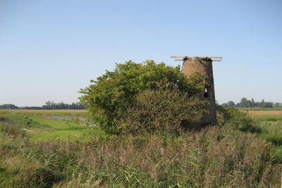
:: St Benet's Abbey :: |
| comment | share |