


|
|
|
|
|
|
| Chris Utter | profile | all galleries >> South West - 4 galleries, 26 subgalleries >> New Mexico >> Bandelier National Monument, 1971 | tree view | thumbnails | slideshow |
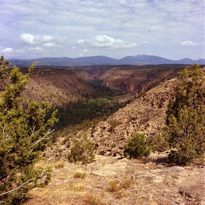 Frijoles Canyon |
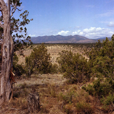 Jemez Mountains |
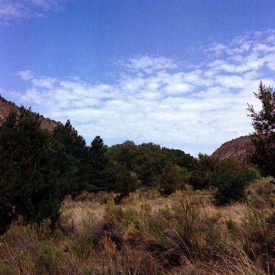 Bandelier landscape |
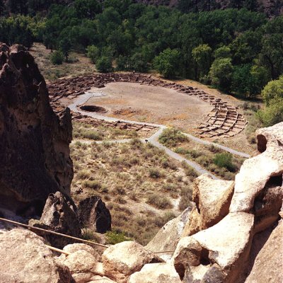
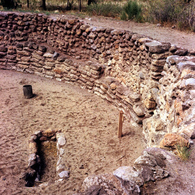 Great Kiva |
 Tyuonyi Ruin |
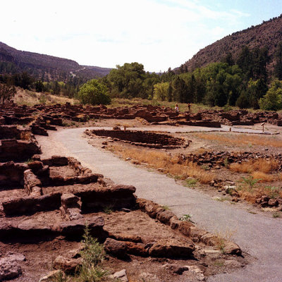 Tyuonyi Ruin |
 Tyuonyi Ruin |
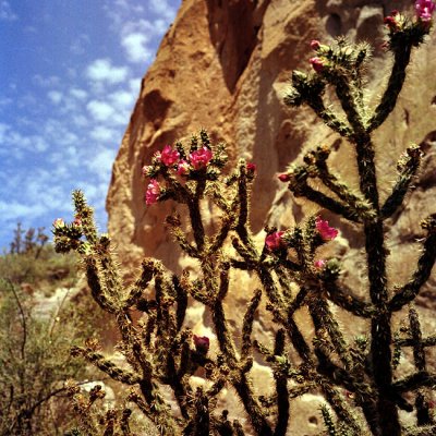 Ocotillo (?) |
 Ocotillo (?) |
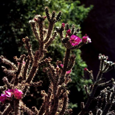 Ocotillo (?) |
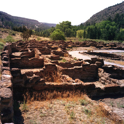
 Tyuonyi Ruin |
 Tyuonyi Ruin |
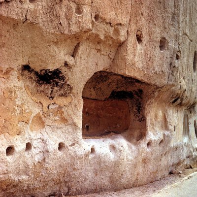
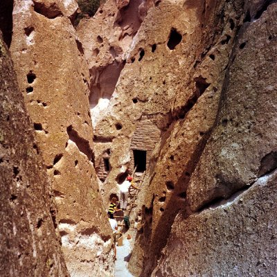 Cave Kiva, entrance |
 Cave Kiva |
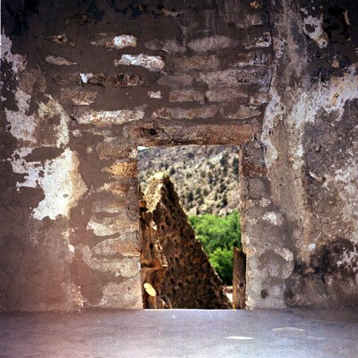
 Long House Ruin |
 Long House Ruin |
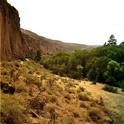 Arroyo de los Frijoles |
 Long House Ruin |
 Long House Ruin |
 Long House Ruin |
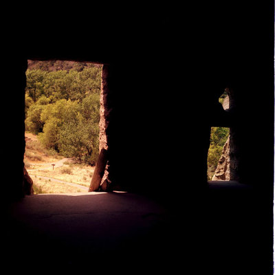
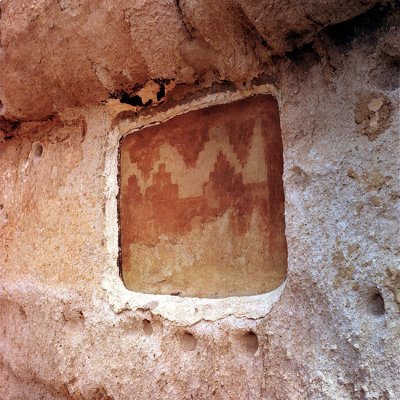
 Cave Kiva |
 Cave Kiva |
 Cave Kiva |
 Bandelier map.jpg |
| comment | share |