


|
|
|
|
|
|
| Cedric Sims | profile | all galleries >> Landscapes >> Mt Shasta & surrounding area | tree view | thumbnails | slideshow |

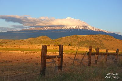
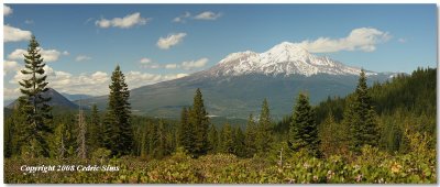
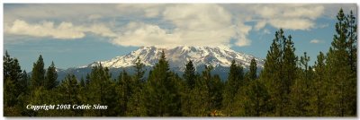
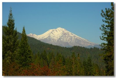
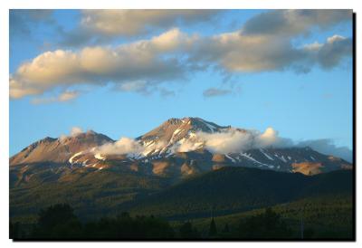
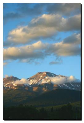
| Mount Shasta is a 14,179-foot volcanic peak in northern California in the United States. It is part of the Cascade Range. It has a smaller peak abutting it, Shastina, and seven glaciers. The mountain stands alone in a large expanse of flatter land, rising 9,822 feet above the surrounding terrain. The Sacramento River flows south near the west edge of the mountain. The town of Mount Shasta and Shasta Lake Reservoir, formed by Shasta Dam, are all named for Mount Shasta.
|
 Mt Shasta 2012 |
 Mt Shasta 2012 |
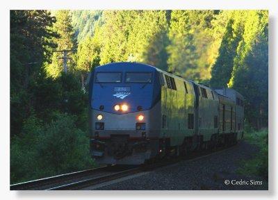 Amtrak Southern Pacific 2012 |
 Mt Shasta 2012 |
 Mt Shasta 2012 |
 Black Butte 2012 |
 Louie Road 2012 |
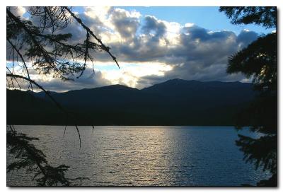
 Castle Lake 2012 |
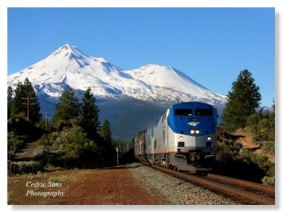 Amtrak Southern Pacific 2012 |
 Little Shasta Church 2012 |
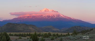 Mt Shasta glow 2012 |
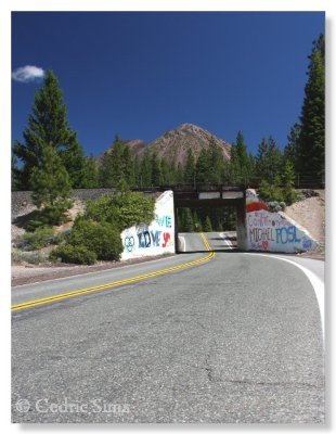 Old Stage Rd. 2012 |
 Mt Shasta 2012 |
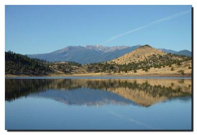
 View From Lake Siskiyou 2012 |
 View of Mt Shasta from Highway 89 2008 |
 View of Mt. Shasta from Castle Lake Rd. 2008 |
 Castle Lake 2008 |
 Mt Shasta 2008 |
 Mt Shasta 2008 |
 Mt Shasta 2007 |
 Mt Shasta 2007 |
 Mt Shasta 2007 |
 Mt Shasta 2004 |
 Mt Shasta 2004 |
 Lake Shastina 2004 |
 Lake Siskiyou 2004 |
 Lake Shastina 2004 |
 |
| comment |
| mart senior | 07-Aug-2013 19:05 | |
| harveywall | 15-Jun-2012 23:53 | |