


|
|
|
|
|
|
| Jean-Marc MICHEL | profile | all galleries >> Thailand >> Koh Similan | tree view | thumbnails | slideshow |
| previous page | pages 1 2 3 4 ALL | next page |
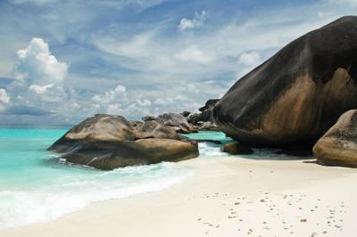
 DSC_0143 |
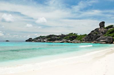
 DSC_0185 |
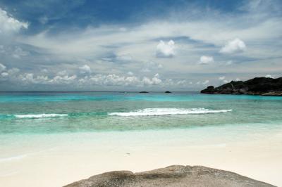
 DSC_0131 |
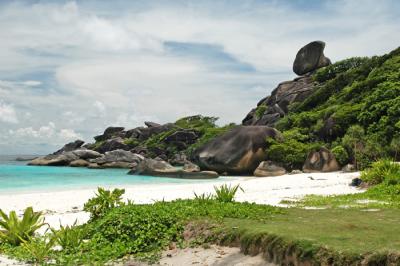
 DSC_0140 |
 DSC_0170 |
 DSC_0166 |
 DSC_0150 |
 DSC_0169 |
 DSC_0149 |
 DSC_0144 |
 DSC_0142 |
 DSC_0163 |
| previous page | pages 1 2 3 4 ALL | next page |
| comment | share |
| Noor Khan | 17-Jun-2007 15:28 | |
| Guest | 22-Jan-2007 15:42 | |