


|
|
|
|
|
|
| campy | profile | all galleries >> Helga Tour 2007 (Several Galleries) >> Oregon Coast | tree view | thumbnails | slideshow |
| previous page | pages 1 2 3 4 ALL | next page |
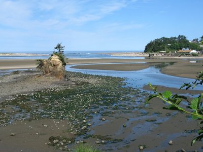 Siletz Bay Estuary Vicinity, near Lincoln City |
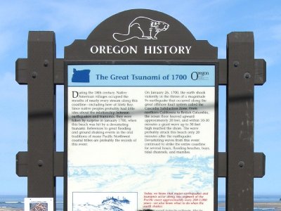 Read about Earthquake and Tsunami in 1700 |
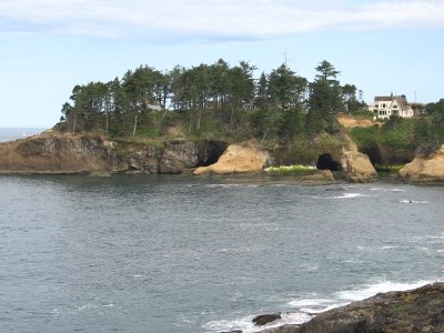 Basalt Shoreline Typical of this Coast |
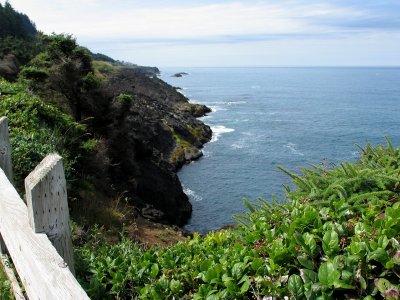
 Rocky Creek State Park |
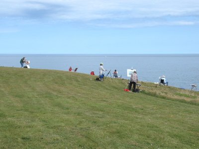
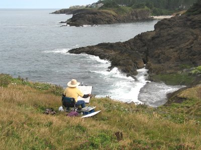 A Painter Setting up Her Easel for this View |
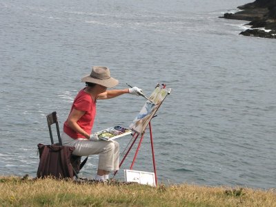
 The Same View will go on Several Canvasses |
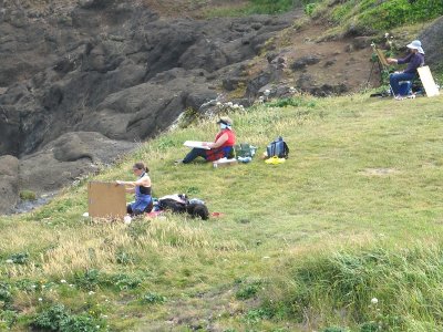
 A Dozen or so Artists Congregate here |
 Her Version Doesn't Look Very Realistic |
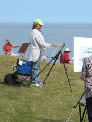
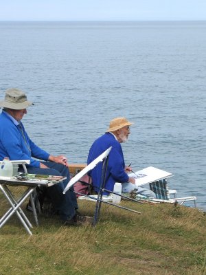 Artists at Work |
 He Willingly Talks with a Photographer |
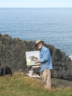 An Experimental Computer Zoom |
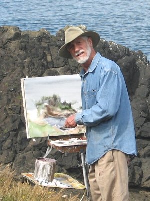 Which Image is Better? |
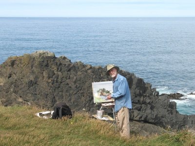
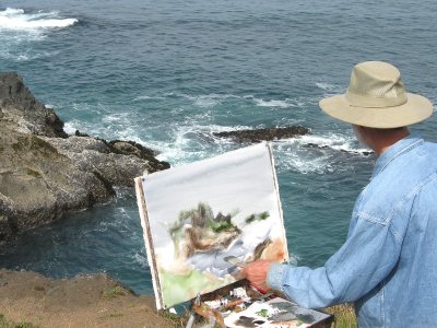 This is his Chosen Viewscape |
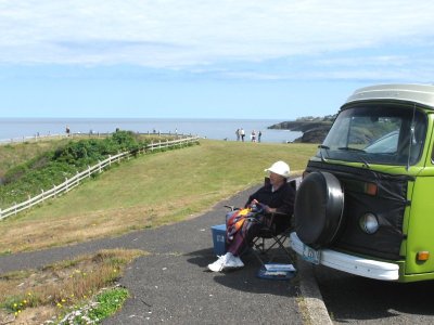 An Artist's Wife Prefers to Make a Quilt |
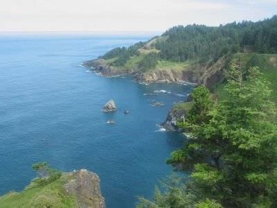
 View to the South |
 Offshore from Otter Crest Scenic Viewpoint |
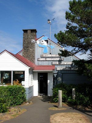 Just a Souvenir Shop (and not a Visitor Center) |
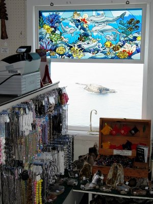 Inside the Shop |
 View North through a Shop Window |
 Devil's Punchbowl |
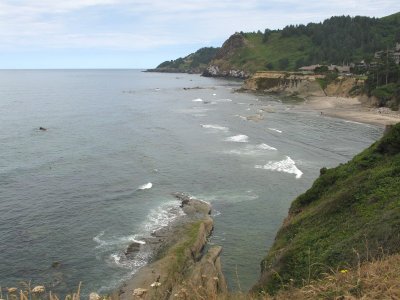 View to the North |
 Beach to the South |
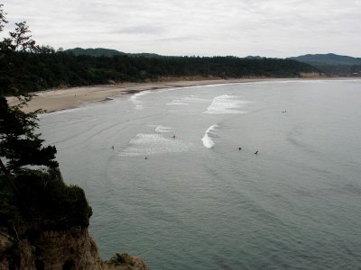
 Surf Riders - a Zoom Shot |
 Flowers Noticed along the Way |
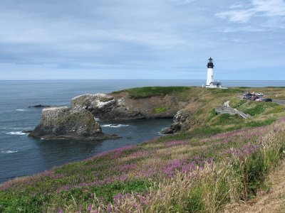 Yaquina Head and Light |
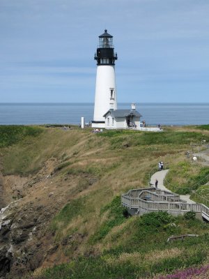 The Light, Tallest in Oregon |
 It's Open for Climbing the Stairs to the Top |
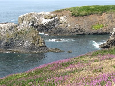 The Yaquina Headland |
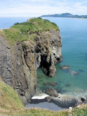 Rugged Bluff |
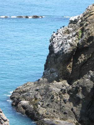 Sea Birds on the Cliff |
 Looking North over the Bluffs |
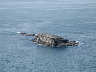
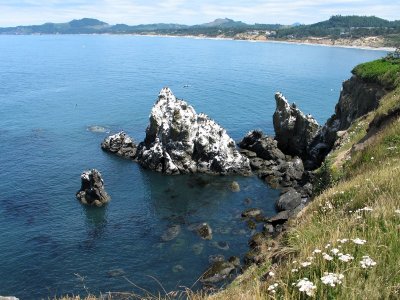
 Offshore Just West of the Light |
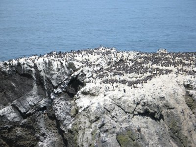 Thousands of Birds |
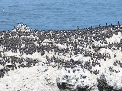 Common Murre Birds |
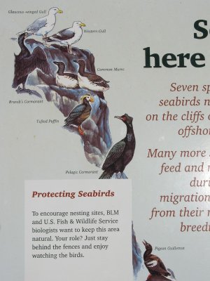 A Good Bird Identification Panel |
 View to the North |
 Sea Birds and Swirling Water |
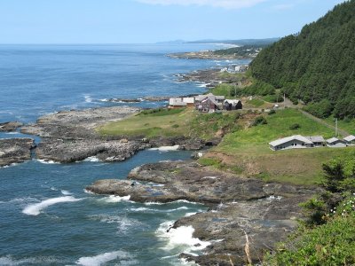
 Rugged Coastline |
 Another View |
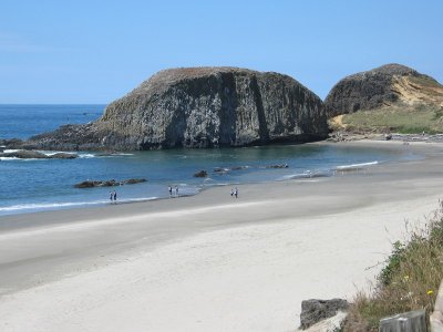 State Beach near Cape Perpetua |
 Offshore Rocks |
 A Computer Partial-Zoom with People on the Beach |
 Rugged Shoreline North of Cape Perpetua |
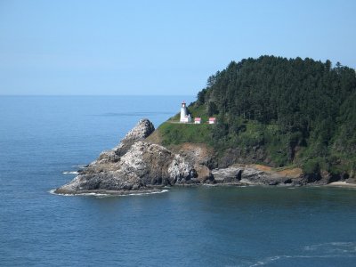 Heceta Head and World's Most Beautiful Light |
 Harbor Seals Near Heceta Beach |
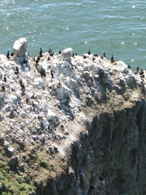 Brandt's Cormorants on the Cliff |
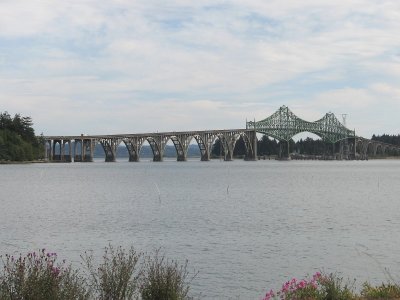 Coos Bay and Conde B. McCullough Bridge |
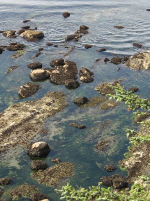 Cape Arago, Tide Pool from Above |
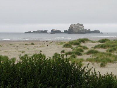 Offshore Rocks Seen at Bandon-by-the-Sea |
 Sandy Creek Covered Bridge, on Road OR-42 |
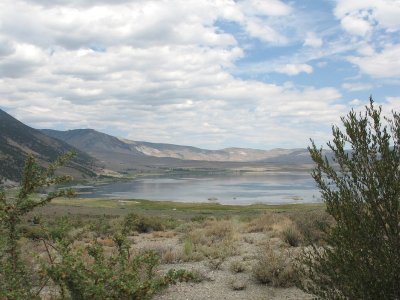 A Lake Near Camas Valley |
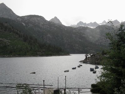 Home in Bishop, and Now it's Rain at Lake Sabrina |
| previous page | pages 1 2 3 4 ALL | next page |
| comment | share |