


|
|
|
|
|
|
| Blair Shamel | profile | all galleries >> Galleries >> Sierra Hike 2011 | tree view | thumbnails | slideshow |
| previous page | pages 1 2 ALL | next page |
 Bishop Creek.jpg |
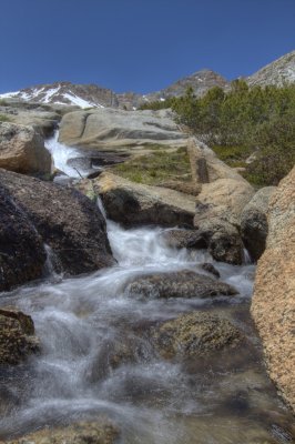 Cascade near New Army Pass.jpg |
 Labrador Tea.jpg |
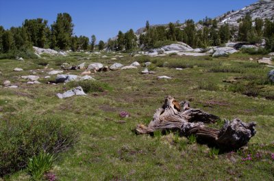 Meadow near Digleberry Camp.jpg |
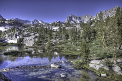
 Midnight Lake.jpg |
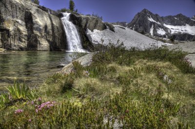 Moonlight Falls.jpg |
 Near Schober Lakes.jpg |
 Red Sierra Heather.jpg |
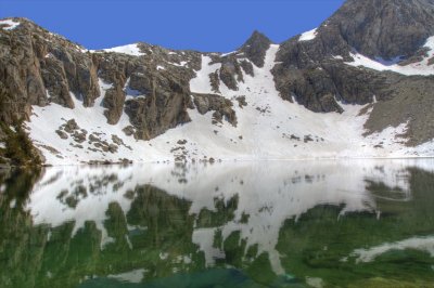
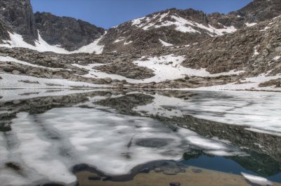 Schober lake-3.jpg |
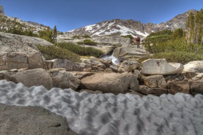
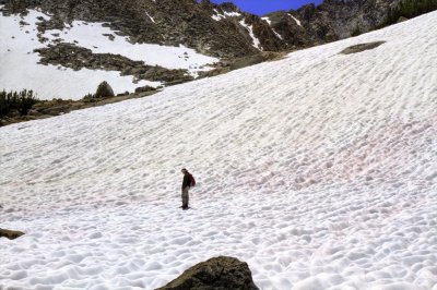 Snow field near Schober Lakes.jpg |
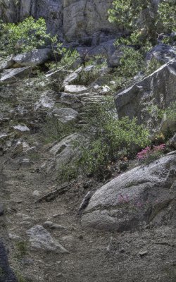 Trail near Dingleberry Lake.jpg |
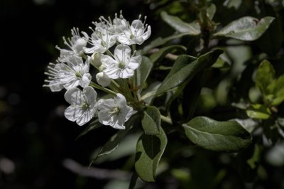
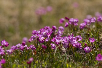
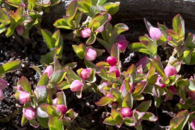 Unidentified pink wildflower.jpg |
| previous page | pages 1 2 ALL | next page |
| comment | share |