photo sharing and upload picture albums photo forums search pictures popular photos photography help login
Bernard Sanden | profile | all galleries >> Galleries >> ASV and Silver Peak Hike after a Winter Storm tree view | thumbnails | slideshow

ASV and Silver Peak Hike after a Winter Storm

New Years eve weekend 2006 near town of Portal on east side of Chiricahua Mtns. Spent the first day working on Tom's ASV home as snow fell in the Chiricahuas, the next on a nice hike up Silver Peak after the storm passed. Tom's photos from same trip are viewable at https://pbase.com/mozdzen/fun_and_games

. . . . . . . . . . . .
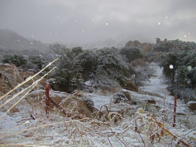
Snowfall in a land of boulders (Texas Canyon area near I-10 and Dragoon Rd)
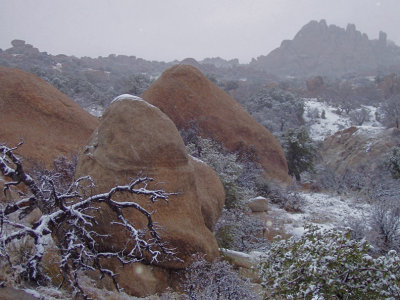
Snowfall in a land of boulders2
Snowstorm over the Chiricahua Mtns   *** Click on Original Size below for best view of panorama shots ***
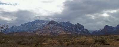
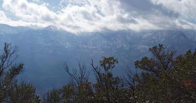
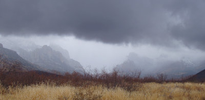
Snowstorm over the Chiricahua Mtns *** Click on "Original Size" below for best view of panorama shots ***
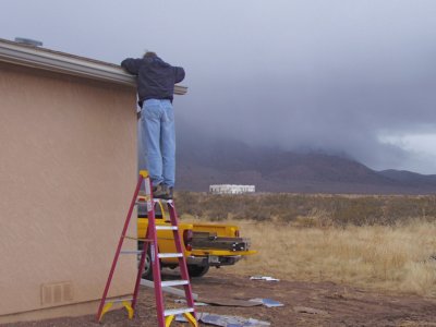
Tom in the gutter again
Chiricahua panorama 1    *** Click on Original Size below for best view of panorama shots ***
Chiricahua panorama 1 *** Click on "Original Size" below for best view of panorama shots ***
Chiricahua panorama 2    *** Click on Original Size below for best view of panorama shots ***
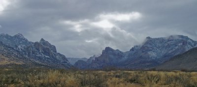
Chiricahua panorama 2 *** Click on "Original Size" below for best view of panorama shots ***
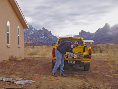
Demonstrating proper use of PPE
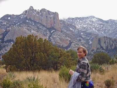
Near the start of Silver Peak hike
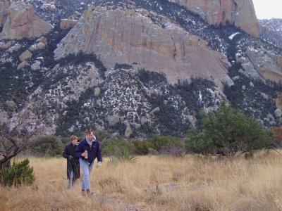
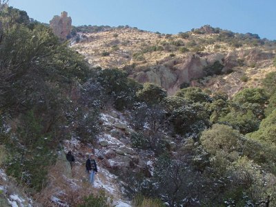
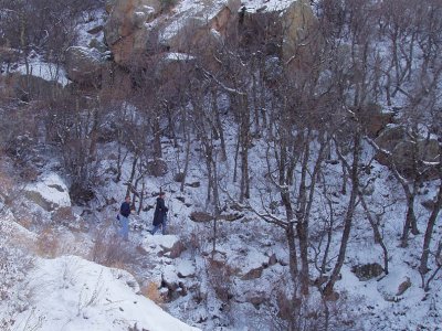
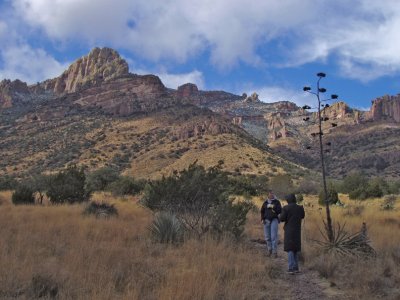
Tom and Matthew on lower stretch of trail
Tom pulling off the layers
I look dazed and confused...great photo op for Tom I guess
Trail loops around hill to the right
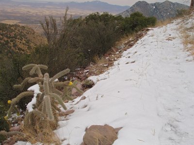
Snow level at 5200ft
Trail at the 5500ft level
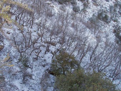
Bare trees
Bare trees
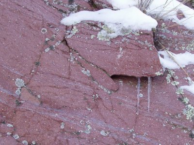
Icicles on boulder (specifically, a porpyritic andesite boulder)
Near turnaround point for Tom and Matthew
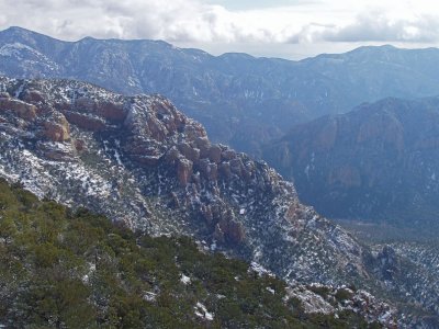
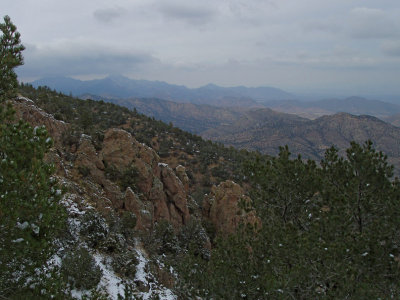
Panorama to the north at 7500ft level
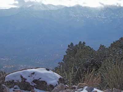
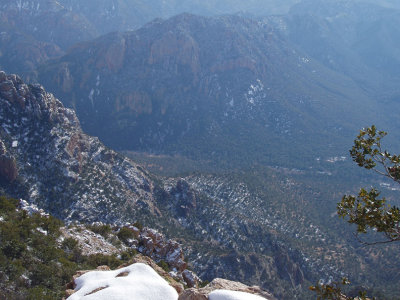
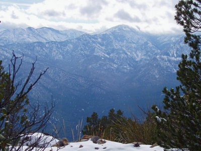
Snowcovered peaks of the Chiricahua range
View to the west from summit of Silver Peak   *** Click on Original Size below for best view of panorama shots ***
View to the west from summit of Silver Peak *** Click on "Original Size" below for best view of panorama shots ***
View to the southwest from summit
View to the southeast from summit
View to the south from summit
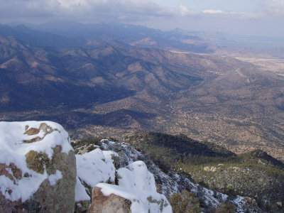
View to the north from summit
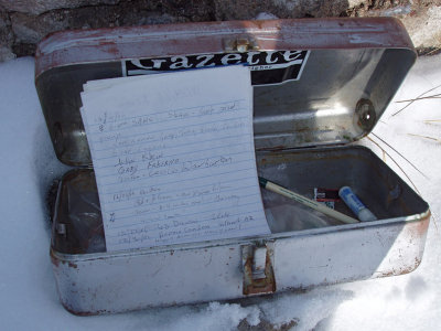
Trail log at the summit
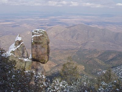
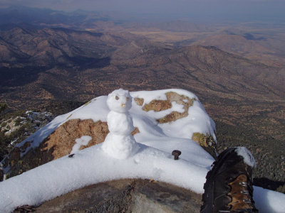
Armless yeti creature guarding the summit (boot for scale)
Trailhead 3000 ft below
Befriended by the yeti guard
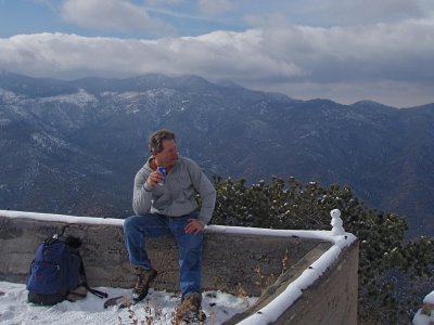
Pepsi break with yeti friend before heading back down
Did I mention the blinding snowstorm on my way down?