


|
|
|
|
|
|
| Bryan Murahashi | profile | all galleries >> 2010 Adventures >> Jan 16 - HIke to Murietta Falls | tree view | thumbnails | slideshow | map |
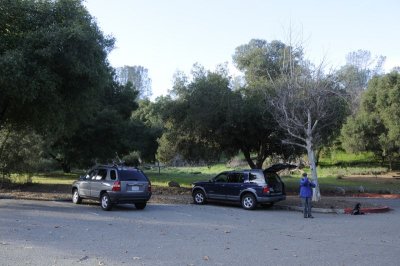 The parking lot and trail head at Del Valle Regional Park |
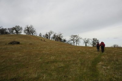
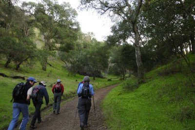 Starting our climb on the Vallecito Trail |
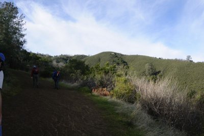
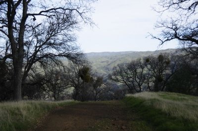
 Looking back from the trail |
 Hiking down to the Ohlone Wilderness Trail |
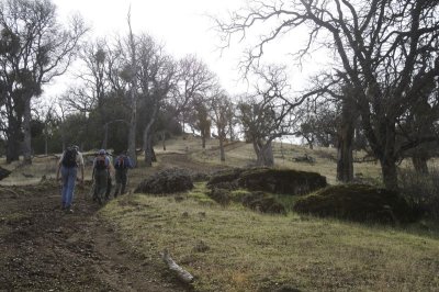
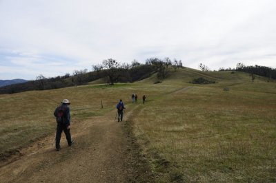
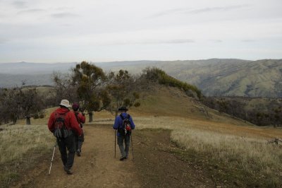
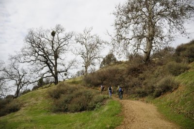
 Starting our climb on the Ohlone Wilderness Trail |
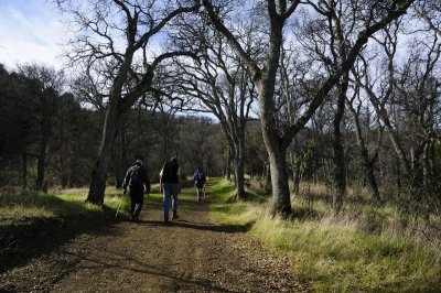 Ohlone Wilderness Trail |
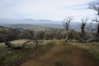
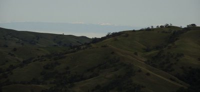
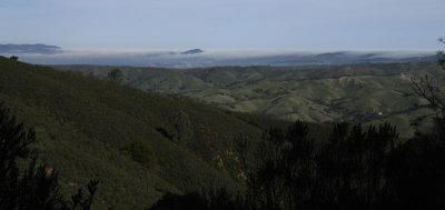 View of the foggy Central Valley |
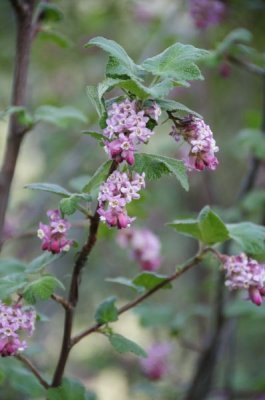 Flowering Currant |
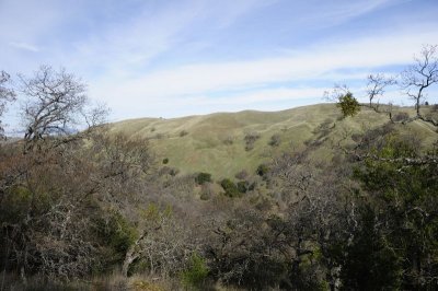
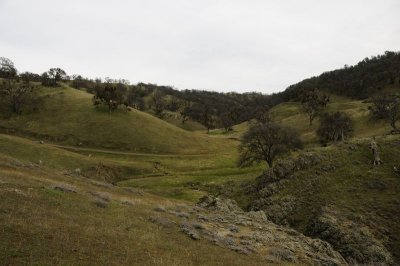
 View from the top of the hill |
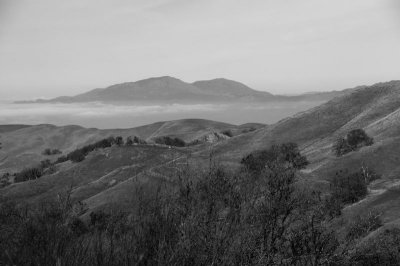
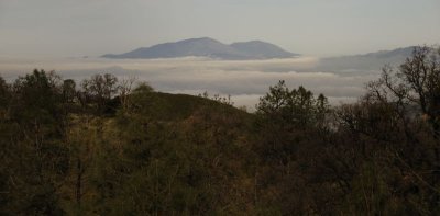 Fog below Mt. Diablo |
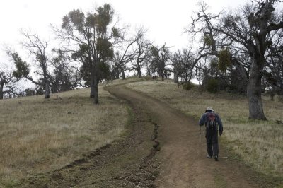
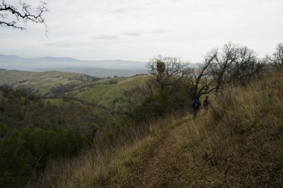
 Ohlone Wilderness Trail |
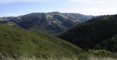
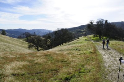
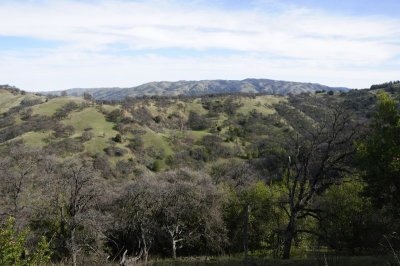
 Nice view |
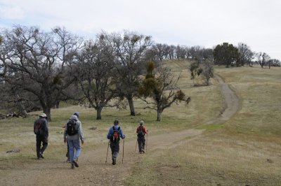
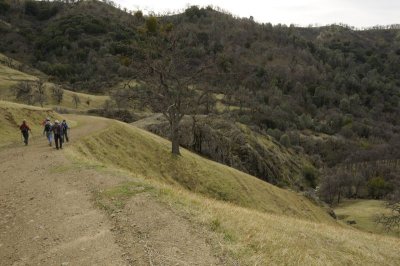
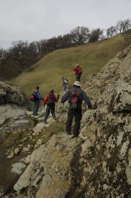
 Starting our descent to the creek |
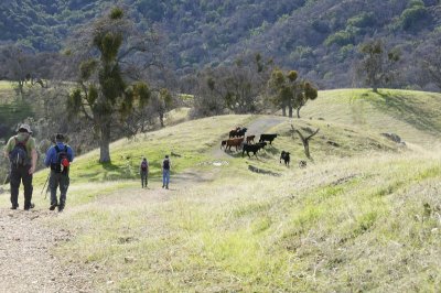 Cows on the trail |
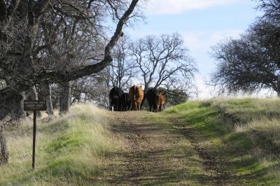 The cows were keeping us off this trail |
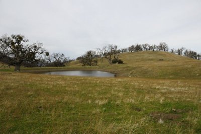
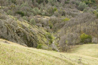
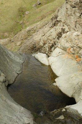
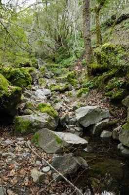 Down at the Creek |
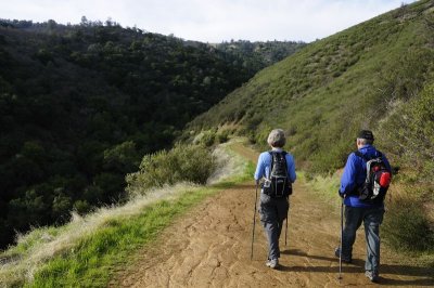
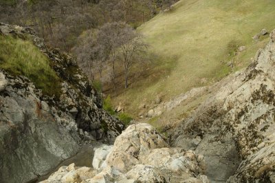
 View as we climb out of the creek |
 Mt. Diablo |
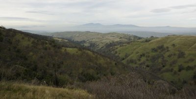
 View behind us |
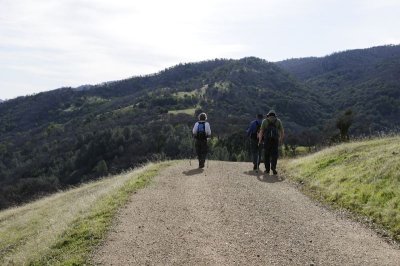
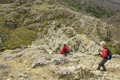
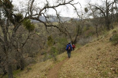
 Still climbing |
 Its a long climb up |
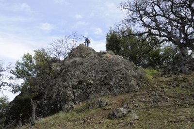 The Schlieper Rock |
 Mt, Diablo |
 Still climbing |
 And more gradual Climbing |
 Getting closer to the top of the ridge |
 At the top of the ridge |
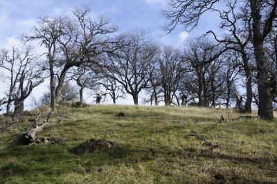
 Along the ridge |
 Downward toward Murietta Falls |
 Closer to Murietta Falls |
 Hiking down to the top of Murietta Falls |
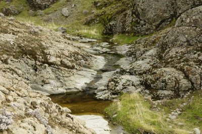 Dribbling Creek to the falls |
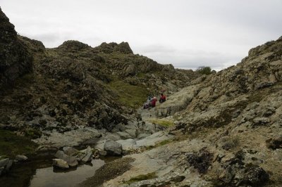
 At the top of Murietta Falls |
 Not much water:-( |
 At the top of Murietta Falls |
 The Creek to the falls |
 Lunch |
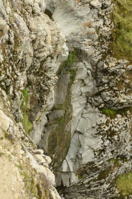 Dripping Murietta Falls |
 View back from the falls |
 Climbing upwards |
 And the long hike back down |
 Snowy Sierras |
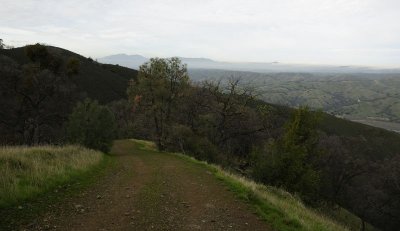
 View back to the trailhead |
 View back to the trailhead |
 Long descent |
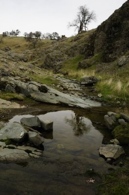
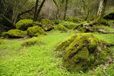 Green rocks back at the creek |
 One last climb out of the creek |
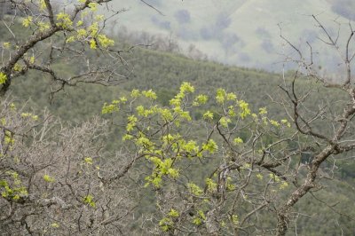 Fresh Greens |
 And back down to the trailhead |
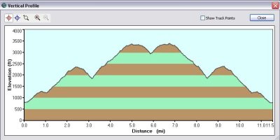 Trail Profile |
| Walter Otto Koenig | 19-Jan-2010 19:59 | |