Bryan Murahashi
|
all galleries
>>
Galleries
>>
2023 PAD When I Can
> Blackened terrain
previous
|
next
20-Nov-2023
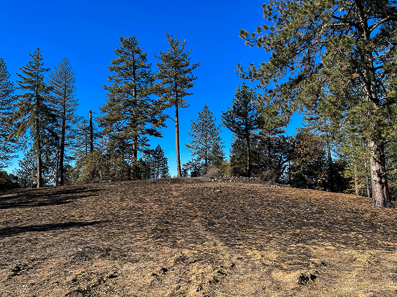
Blackened terrain
view map
After a prescribed burn at Coe State Park.
By the Monument trail.
Apple iPhone 12 Pro Max
1/1642s f/1.6 at 5.1mm iso32
full exif
other sizes:
small
medium
original
auto
previous
|
next
share
Commenting on this page requires full PBase membership.
Please
login
or
register
.
laine
22-Nov-2023 03:27
Making it safer for summer..
pkocinski
21-Nov-2023 12:39
Preventative measure for sure.
Liz Bickel
21-Nov-2023 10:12
Relieved that it was a prescribed burn that was kept under control.
The farmers do it here every Spring, but sometimes things get out of hand.
globalgadabout
21-Nov-2023 06:01
looks as if it was carefully done with the adjacent trees still standing...smart move to remove all that potential fuel..
joseantonio
21-Nov-2023 05:04
very nice perspective.V.
Tom Munson
21-Nov-2023 04:56
Nice with that blue sky.
Dennis Hoyne
21-Nov-2023 04:31
Now some fresh new growth will come in. Nice shot.