


|
|
|
|
|
|
| Bryan Murahashi | profile | all galleries >> 2011 Adventures >> April 30 - Coe Backcountry Weekend | tree view | thumbnails | slideshow | map |
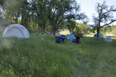
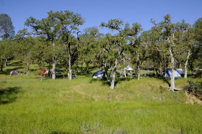
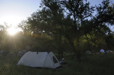
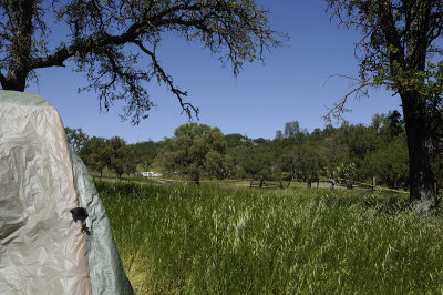 At our campsite at the Orestimba Corral |
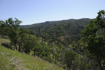
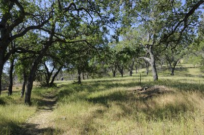
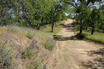
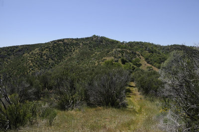
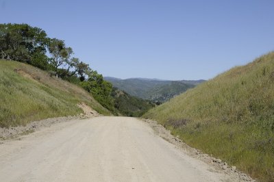
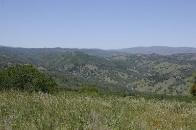
 View along the Kaiser Aetna Rd |
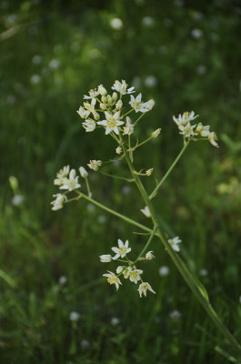
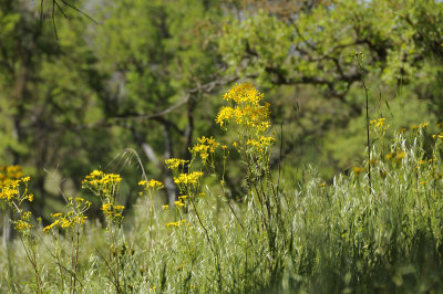 Brewer's Butterweed |
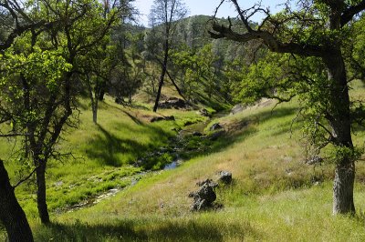
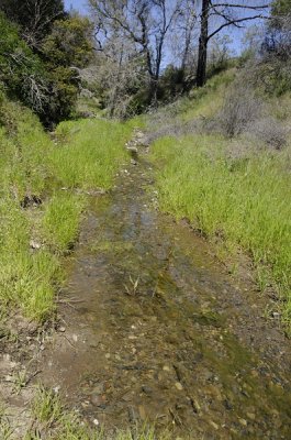
 Over flowing creek on the Kaiser Aetna Rd |
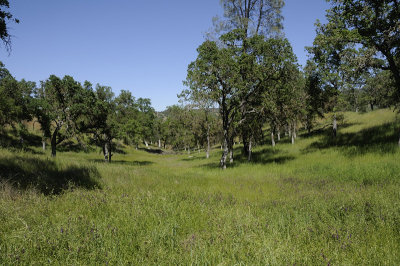
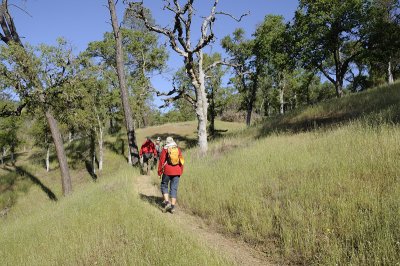
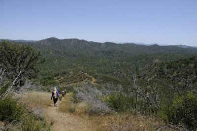
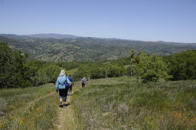
 On the Orestimba Creek Trail |
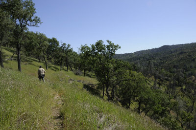 On the Orestimba Creek Trail |
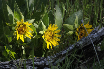 Mule Ears |
 On the Orestimba Creek Trail |
 On the Orestimba Creek Trail |
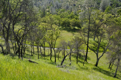
 Orestimba Corral |
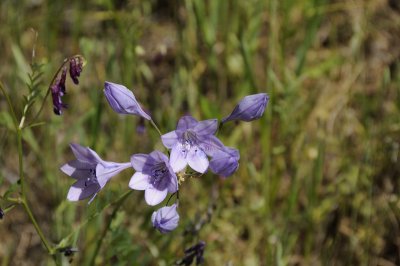
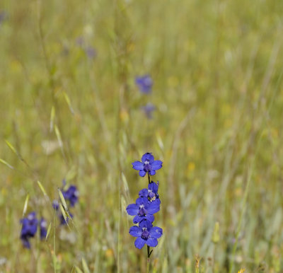 Royal Larkspur |
 Back at the Campsite |
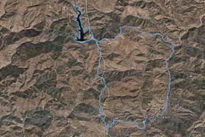
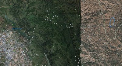 Day 1 - Map and GPS plots |
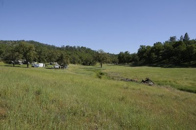
 Day 2 - Lots of campers |
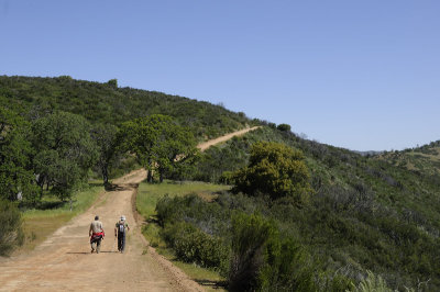
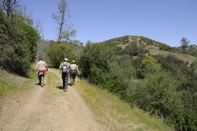
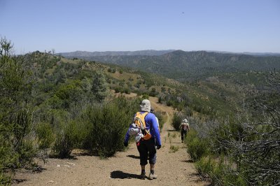
 Up the Alquist Trail |
 On the Alquist Trail |
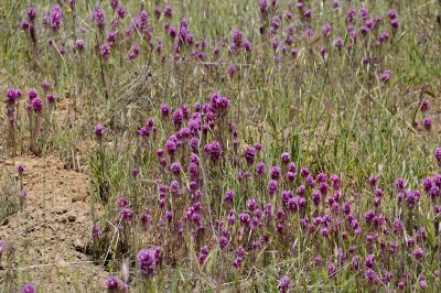
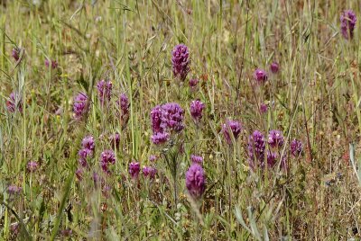 Owls Clover |
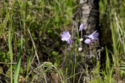 Ithuriel's Spear |
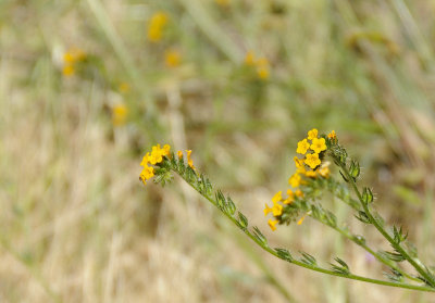 Fiddlenecks |
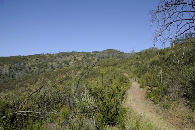
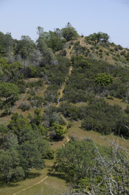
 Alquist Trail |
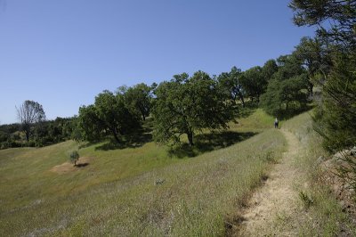 Alquist Trail |
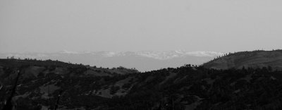 Snowy Sierras |
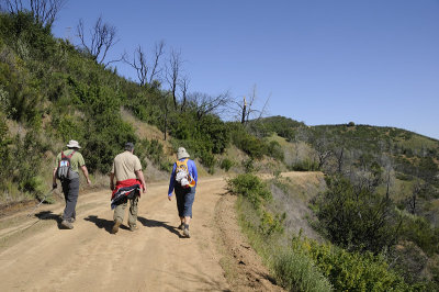 On the County Line Road |
 View from the County Line Road |
 Lupines On the County Line Road |
 On the County Line Road |
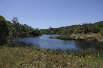
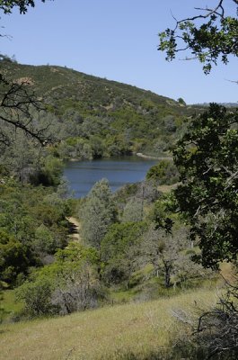 First view of the Mississpi Lake |
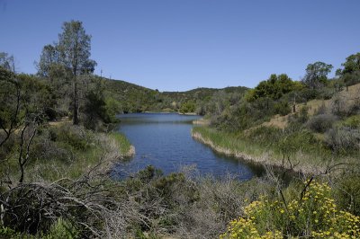 Mississpi Lake |
 Mississipi Lake |
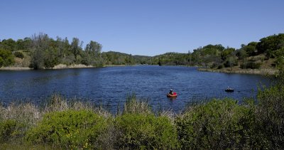
 Hiking around the Mississipi Lake |
 Owl's Clover |
 Creek flowing into Mississipi Lake |
 Mississipi Lake |
 Star Lily |
 Down the steep Hartman Trail |
 Looking ahead to the climb on the Hartman Trail |
 View back from the Hartman Trail |
 On the Hartman Trail |
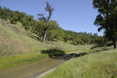
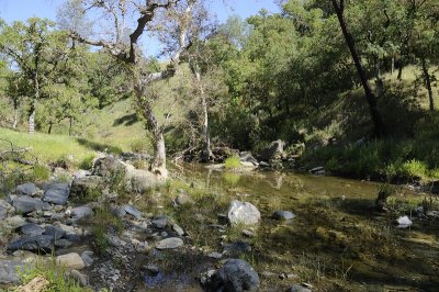
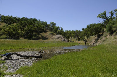 Orestimba Creek |
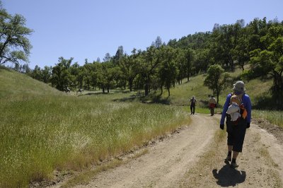 Hiking back on the Kaiser Aetna Rd |
 Day 2 - Google Map and GPS plots |
 Day 3 - Sunrise |
 Pacheco Creek |
 Top of the Kaiser Aetna Rd |
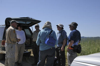 Meeting with our Geologist lecturer |
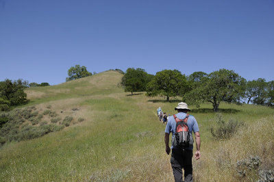 Hiking the Burra Burra Trail |
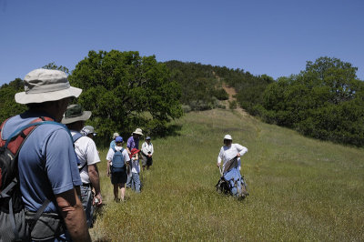 And a discussion by the Geologist lecturer |
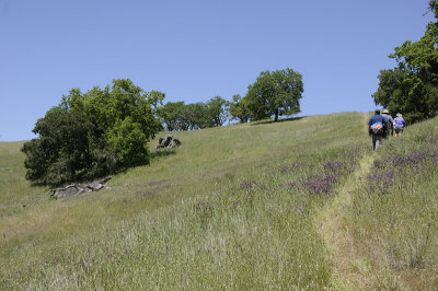 Hiking back on the Burra Burra Tr |
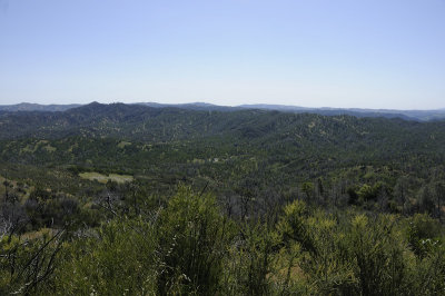
 Nice view from the Burra Burra Tr |
 Descending the Burra Burra Tr |
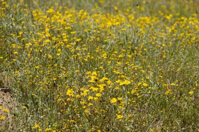 Goldfields |
 Ithuriel's Spear |
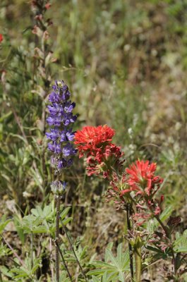 Lupine and Indian Paintbrush |
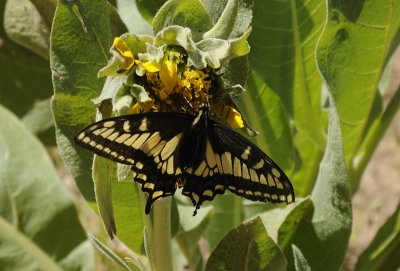 Swallow Tail and Mule Ear |
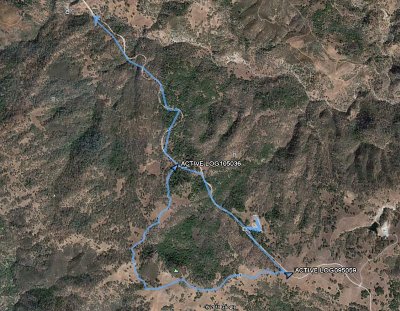 Day 3- GPS Maps and plots |