


|
|
|
|
|
|
| Bryan Murahashi | profile | all galleries >> 2014 - Adventures >> March 29 - Hike at Garrapata State Park | tree view | thumbnails | slideshow | map |
 At the Trail head |
 Indian Paintbrush |
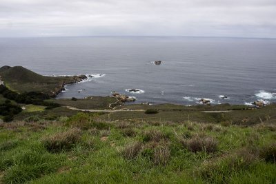
 Pacific Ocean View |
 Lupine View |
 Steep Climb |
 Green Canyon |
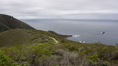
 Ocean View |
 Steady Climb |
 Ocean View |
 Still Climbing |
 Blue Dicks emerging through the Lupine |
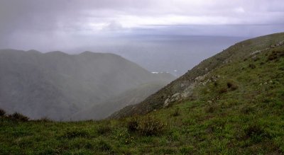
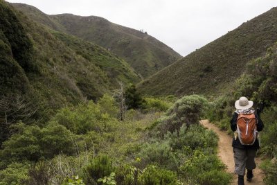
 Steep Canyon |
 Green Hairstreak |
 Ocean View |
 Still Climbing |
 White Wildflowers |
 Exposed Geocache |
 Johnny Jump Ups |
 Johnny Jump Ups |
 Showers at the top |
 Steep downhill |
 Shooting Stars |
 Brown Lupine |
 Entering the Redwood Forest |
 Fat Solomon's seal |
 Soberanes Creek |
 Thimbleberry |
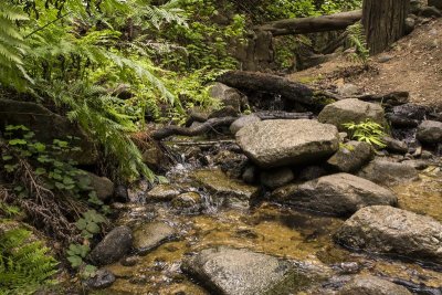 Soberanes Creek |
 Lunch Spot |
 Soberanes Creek |
 Shrooms |
 Redwood Sorel |
 Hiking under the Redwoods |
 Native American Mortar |
 Slim solomon's seal |
 Exiting Garrapata canyon |
 Pacific Coastline |
 Rainy drive home |
 Hiking map at Garrapata SP |
| Buz Kiefer | 02-Apr-2014 21:21 | |
| Rosi Blaurock | 31-Mar-2014 18:26 | |
| pkocinski | 31-Mar-2014 11:43 | |
| slhoornstra | 31-Mar-2014 10:26 | |