


|
|
|
|
|
|
| Brian Dickson | profile | all galleries >> Galleries >> Pacific Crest Trail 2600 miles across US 1998 | tree view | thumbnails | slideshow |
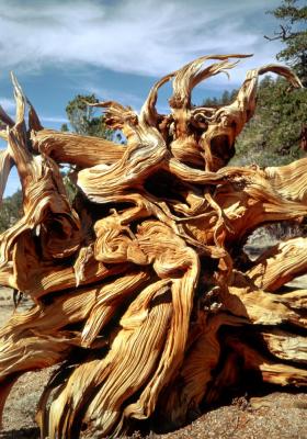
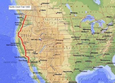 Pacific Crest trail map |
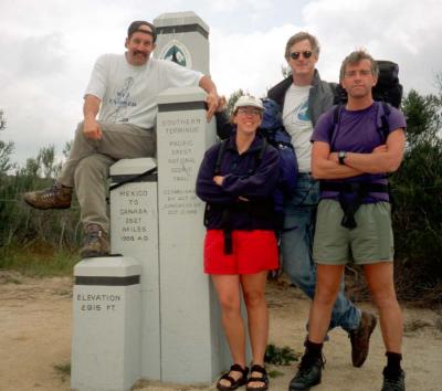
<< California South >> |
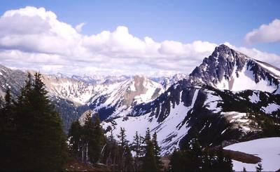
<< Washington >> |
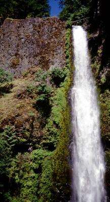
<< Oregon >> |
<< California North >> |
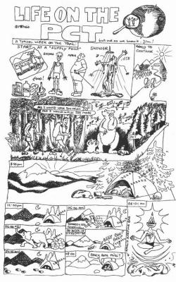 PCT comic strip page1 |
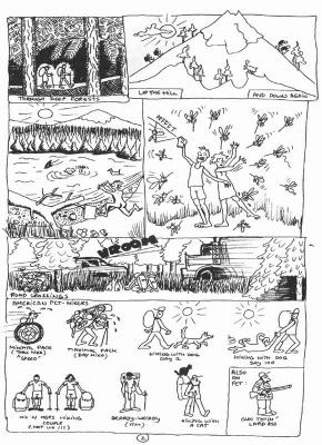 PCT comic strip page2 |
| comment | share |
| Aaron Peterson | 13-May-2004 06:40 | |
| tglass | 27-Mar-2004 00:24 | |
| Brian Dickson | 26-Mar-2004 09:40 | |
| Vinay | 25-Mar-2004 23:25 | |
| baja_traveler | 25-Mar-2004 22:54 | |