


|
|
|
|
|
|
| Brian Dickson | profile | all galleries >> California 2019 >> 3_twin_lakes_to_tuolumne | tree view | thumbnails | slideshow |
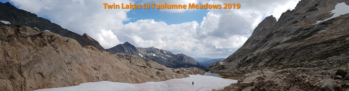
 Map of our 3 day hike on and off trail from Twin Lakes campsite to Tuolumne Meadows |
 Looking back down to Twin Lakes |
 Climbing south from Twin Lakes up Horse Creek- the trail gets a bit faint higher up but the way is obvious |
 Horse Creek |
 Near the pass at Horse Creek with some rain and threatening clouds all day |
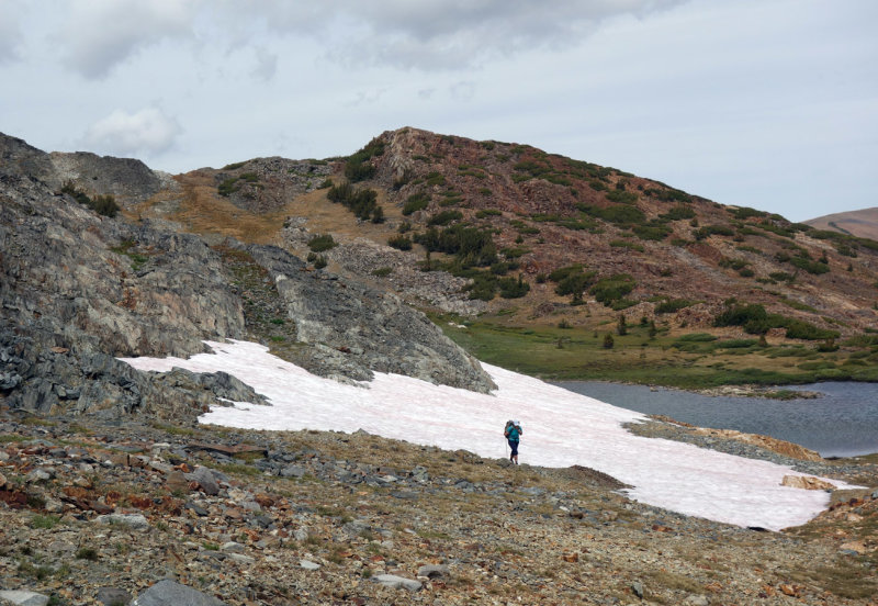
 Final snow patches below the pass |
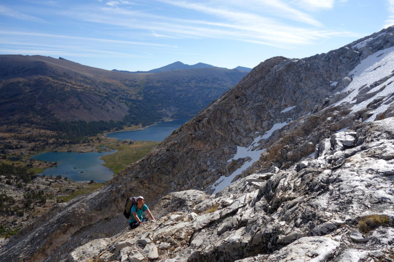
 Nearing the pass |
 Horse Creek Pass - descending south down Spiller Canyon |
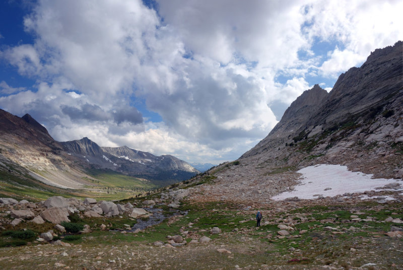 Spiller Canyon - no trail but lovely hiking down the glaciated valley |
 Day 2 further down Spiller Canyon |
 After a wet evening yesterday its drying time! |
 We join up with the Pacific Crest Trail |
 Crossing Return Creek |
 We leave trail and hike up McCabe Creek and meadows |
 Steeper climbing up to McCabe Pass |
 Below Shepherd Crest |
 Down south to Upper McCabe Lake |
 McCabe Pass to Cascade Lake |
 McCabe Pass from the east- easiest route is out left then back onto ridge south of the pass |
 Cascade Lakes! |
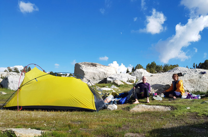 September 2019 Sierra - Cascade Lake camp |
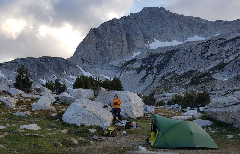 September 2019 Sierra -Cascade Lake camp |
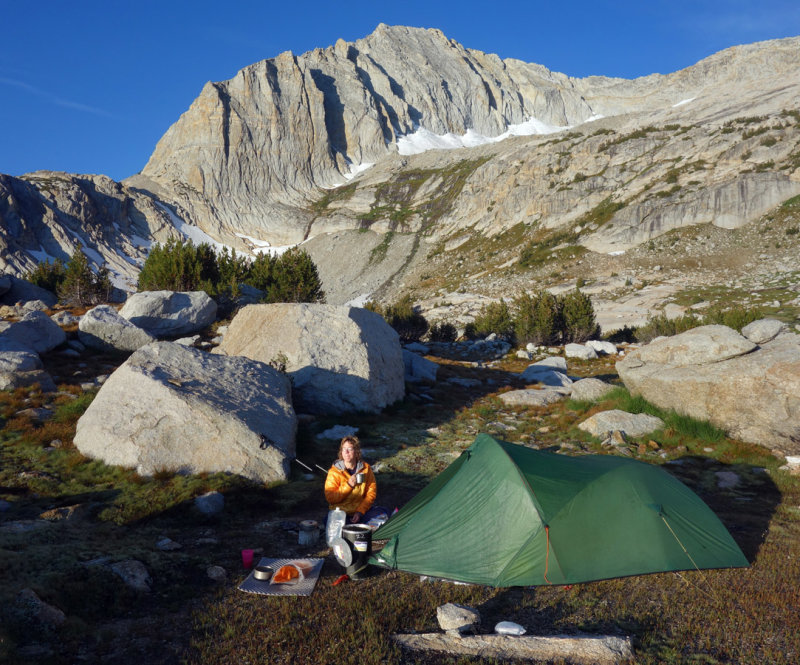 Cascade Lake camp |
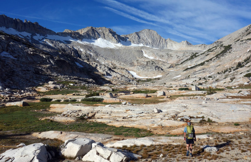 Day 3 Heading south to cross Mt Connes east ridge on the 'Sierra High Route' |
 Connes Lakes outflow |
 Mt Connes east ridge |
 Mt Connes east ridge looking north |
 Mt Connes east ridge - granite is grippy! |
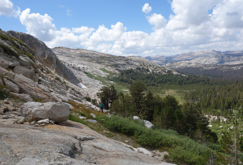
 Lots of lakes and meadows- I think this is Green Treble Lake |
 This is Great Sierra Mine situated on a pass before we descended to Tuolumne Meadows |
 Great Sierra Mine area |
 Great Sierra Mine |
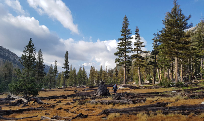
 We reached a trail again heading south west to Toulumne Road - met lots of tiny tree frogs here |
| comment | share |
| joseantonio | 27-Oct-2019 20:31 | |