


|
|
|
|
|
|
| Kazuo Lim Khee Boon | profile | all galleries >> My Travel Album >> Singapore >> Isles Of Singapore >> Ubin Island | tree view | thumbnails | slideshow |
Ubin Island
| Area | Ubin Island |
| Nearest MRT Station | EW 2 : Tampines / SBS No.29 Changi Village Boat Terminal / Bumpboat |
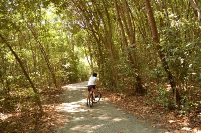
Autour de Ubin |
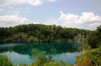
Balai Quarry |
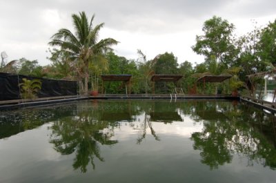
Celestial Fishing Village |
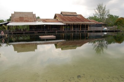
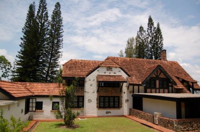
Celestial Resort |
Chek Jawa Visitor Centre |
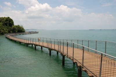
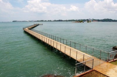
Coastal Boardwalk |
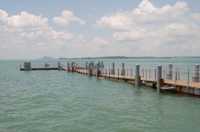
Floating Pontoon |
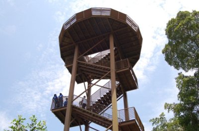
Jejawi Tower |
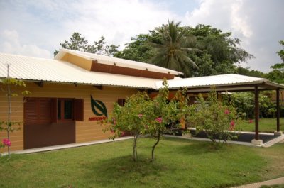
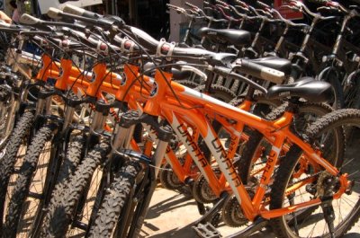
Ubin HSBC Volunteer Hub |
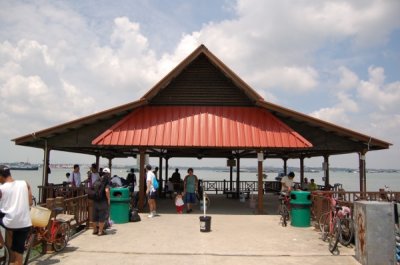
Ubin Public Jetty |
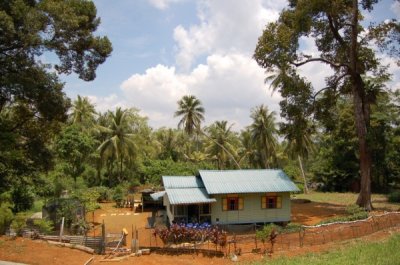
Ubin Malay Village |
Ubin Mangrove Forest |
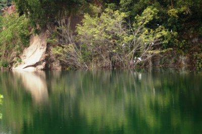
Ubin Quarry |
Ubin Town |
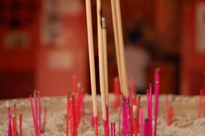
Ubin Town Tua Pek Kong Temple |
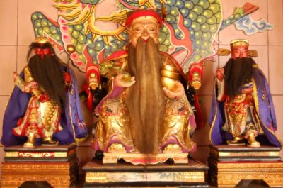
Ubin Tua Pek Kong Teng Sua Hood Temple |
Ubin Viewing Jetty |
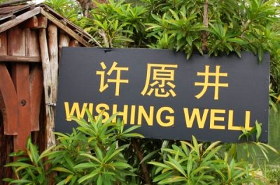
Ubin Wishing Well |
| comment | share |