


|
|
|
|
|
|
| Kazuo Lim Khee Boon | profile | all galleries >> My Travel Album >> India >> Kerala >> Munnar | tree view | thumbnails | slideshow |
Munnar
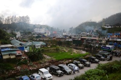
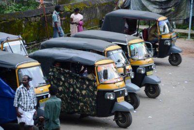
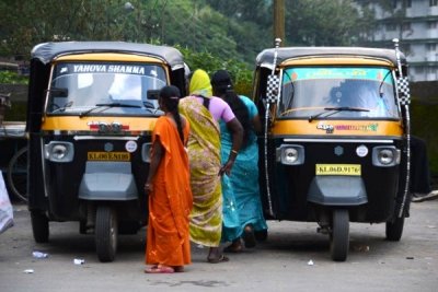
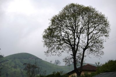
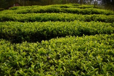
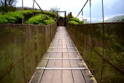
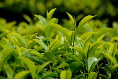
Munnar is a hill station on the Western Ghats, a range of mountains situated in the Idukki district of the Indian state of Kerala. The name Munnar is believed to mean "three rivers" referring to the town's strategic location at the confluence of the Madhurapuzha, Nallathanni and Kundaly rivers. Munnar town is in Kannan Devan Hills (KDH) Village in Devikulam taluk and is the largest panchayat in the Idukki district having an area measuring nearly 557 km�.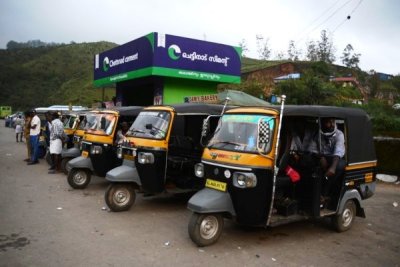 DSC_0441.jpg |
 DSC_0450.jpg |
 DSC_0452.jpg |
 DSC_0455.jpg |
 DSC_0457.jpg |
 DSC_1006.jpg |
 DSC_1020.jpg |
 DSC_1029.jpg |
 DSC_1044.jpg |
 DSC_1061.jpg |
 DSC_1064.jpg |
 DSC_1068.jpg |
| comment | share |