


|
|
|
|
|
|
| Kazuo Lim Khee Boon | profile | all galleries >> My Travel Album >> Indonesia >> Java >> Central Java >> Mount Merapi | tree view | thumbnails | slideshow |
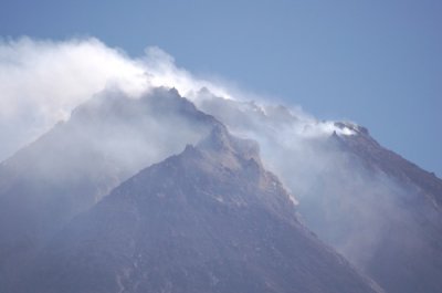
Mount Merapi
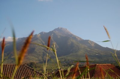
Mount Merapi or also being called Gunung Merapi in Indonesian language, is a conical volcano located on the border between Central Java and Yogyakarta, Indonesia. It is the most active volcano in Indonesia and has erupted regularly since 1548. Its name means Mountain of Fire (Gunung = Mount & Merapi = On Fire). It is very close to the city of Yogyakarta, and thousands of people live on the flanks of the volcano, with villages as high as 1700 m above sea level.
Kaliurang |
Ketep Pass |
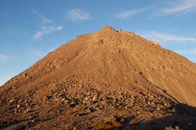
Mount Merapi Gajah Mungkur |
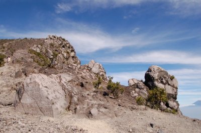
Mount Merapi Pasar Bubrah |
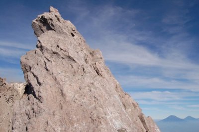
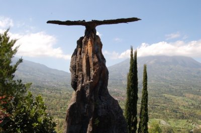
Mount Merapi Puncak Garuda |
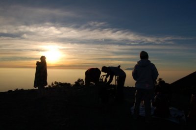
Mount Merapi Sunrise |
Selo |
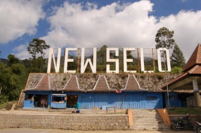
New Selo |
| comment | share |