


|
|
|
|
|
|
| Kazuo Lim Khee Boon | profile | all galleries >> My Travel Album >> Thailand >> Central Thailand >> Lopburi | tree view | thumbnails | slideshow |
Lopburi

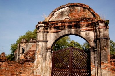
Ban Vichayen |
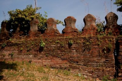
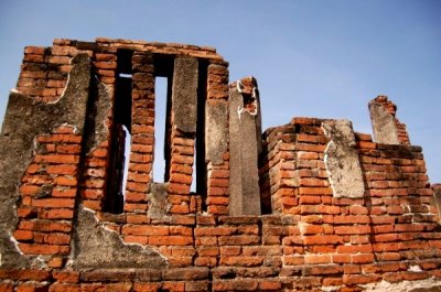
Muang Lopburi Citadel |
Wat Sao Thong Thong |
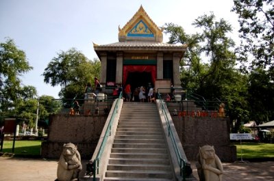
Phra Kan Shrine |
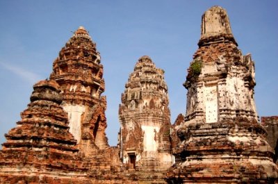
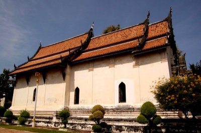
Wat Prasrirattanamahathat |
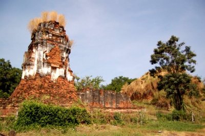
Wat Nakhon Kosa |
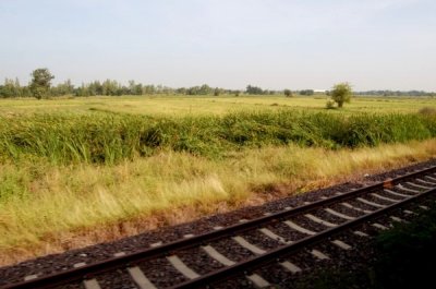
En Route Lopburi |
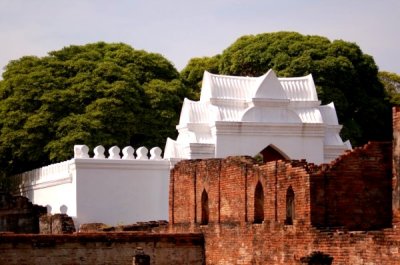
King Narai's Palace |
Wat Inthra |
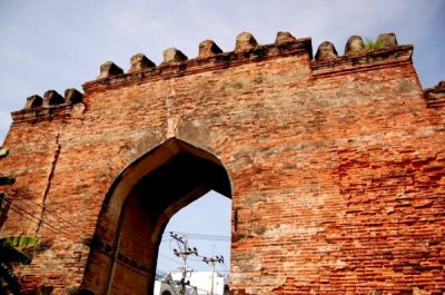
Chai Gate |
Lopburi Railway Station |
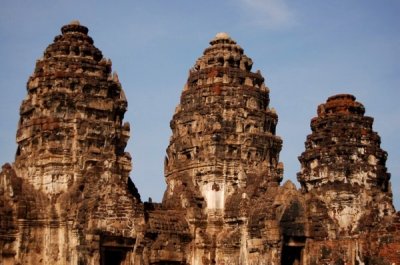
Phra Prang Sam Yod |
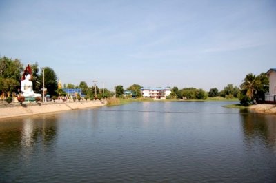
Maenam Lopburi |
Wat Tong Pu |
Wat Mani Chonlakhan |
Wat Bandai Hin |
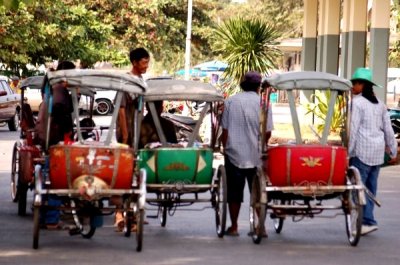
Lopburi Old Town |
| comment | share |