


|
|
|
|
|
|
| Kazuo Lim Khee Boon | profile | all galleries >> My Travel Album >> Thailand >> Eastern Thailand >> Trat >> Ko Chang | tree view | thumbnails | slideshow |
Ko Chang
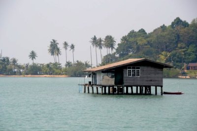
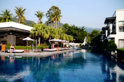
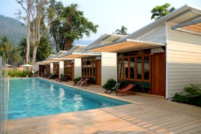
Ko Chang is an amphoe (district) in Trat Province, Thailand. It is located on the Gulf of Thailand's eastern seaboard, about 310km east from Bangkok and near the border with Cambodia. It is the country's second largest island, and the largest island in the Mu Ko Chang National Park archipelago. The name means Elephant Island, and comes from the elephant shape of its headland, although elephants are not indigenous to the island. At present, there are 9 villages on the island. It is a mountainous island, with Khao Salak Phet being the highest peak at 743 metres. The island is known for several waterfalls, thriving coral reefs and rainforests.
Ao Sapparot |
Autour de Kai Bae Beach |
Autour de Ko Chang |
Bang Bao Fishing Village |
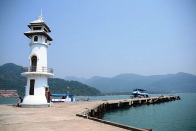
Bang Bao Lighthouse |
Chao Por Ko Chang |
Kai Bae Camp |
Seaview Ko Chang |
The Chill Resort & Spa |
The Stage Ko Chang |
| comment | share |