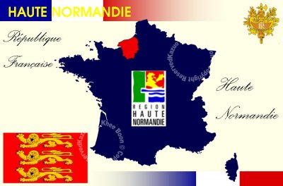
Upper Normandy or Haute-Normandie in French is one of the 26 regions of France. It was created in 1956 from two départements: Seine-Maritime and Eure, when Normandy was divided into Lower Normandy and Upper Normandy. This division continues to provoke controversy, and some continue to call for regrouping of the two. However, the name Upper Normandy existed prior to 1956 and referred by tradition to territories currently included within the administrative region: the Pays de Caux, the Pays de Bray (not that of Picardy), the Roumois, the Campagne of Le Neubourg, the Plaine de Saint André and the Norman Vexin. Today, most of the Pays d'Auge, as well as a small portion of the Pays d'Ouche, are located in Lower Normandy.
Rouen is the regional capital, historically important with many fine churches and buildings, including the tallest cathedral tower in France. The region's largest city, in terms of metropolitan population, is Le Havre. The region is twinned with the London Borough of Redbridge in the United Kingdom. Its economy is centred around agriculture, industry, petrochemicals and tourism.