


|
|
|
|
|
|
| Kazuo Lim Khee Boon | profile | all galleries >> My Travel Album >> Vietnam >> Ha Tay | tree view | thumbnails | slideshow |
Ha Tay
Ha Tay province was located in the Red River Delta surrounded by Hanoi municipality and Hung Yen province, Ha Nam province, Hoa Binh province, and Phu Tho provinces. The Kinh account for 99% of the province's population; the remaining population is from the Muong and Dao ethnic groups.
![Autour de Chua Huong [Perfume Pagoda]](https://a4.pbase.com/g4/31/357931/3/140743026.tMTMPgYS.jpg)
Autour de Chua Huong [Perfume Pagoda] |

Autour de Ha Tay |
Chua Giai Oan |
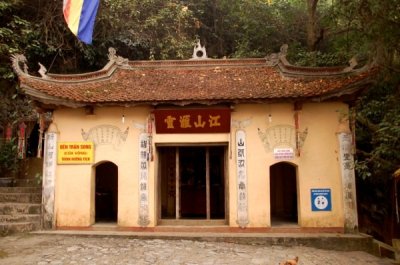
Chua Thien Tru |
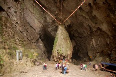
Dong Huong Tich |

Nha Bia Thien Tru |

Yen Vi River |
| comment | share |