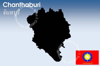
Chanthaburi is a province of Thailand. It is located in the east of Thailand, at the border to Battambang and Pailin of Cambodia and the shore to the Gulf of Thailand. The neighboring provinces are Trat in the east and Rayong, Chonburi, Chachoengsao and Sa Kaeo.
The word Chantha originates from the Sanskrit word Chandra meaning moon, and the word buri from Sanskrit Puri meaning town or city. Hence the province name literally means City of Moon.
While the southern part of the province is located at the shore to the Gulf of Thailand and thus is mostly coastal alluvial plains, the hinterlands of the province are quite mountainous. The Chanthaburi mountain range in the north has the highest elevation of the province, the 1556 m high Soi Dao Nua Peak. The main river of the province is the Chanthaburi River.
Together with the neighboring province Trat, Chanthaburi is the center of gemstone mining, especially rubies and sapphires. Tropical fruits are also among the main products of the province. In 2000, it produced nearly 380,000 tons of durian, which was 45.57% of Thailand's durian production and approximately 27% of the world production of this fruit.