


|
|
|
|
|
|
| Kazuo Lim Khee Boon | profile | all galleries >> My Travel Album >> Malaysia >> East Malaysia >> Sarawak >> Bako National Park | tree view | thumbnails | slideshow |
Bako National Park
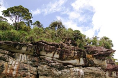
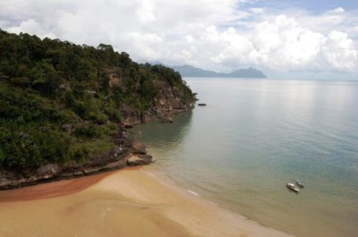
Bako National Park, established in 1957, is the oldest national park in Sarawak (East Malaysia) on the island of Borneo. It covers an area of 27.27 square kilometres at the tip of the Muara Tebas peninsula at the mouth of the Bako and Kuching Rivers. It is some 37 kilometres by road from Kuching. Millions of years of erosion of the sandstone have created a coastline of steep cliffs, rocky headlands and stretches of white, sandy bays. Wave erosion at the base of the cliffs has carved many of the rocky headlands into fantastically shaped sea arches and seastacks with colored patterns formed by iron deposition. Some of these rock formations can be seen on entry to the Teluk Assam Beach, which fronts the park. The park can only be reached by a 20-minute boat ride from Kampung Bako and is often visited as a day-trip from Kuching.
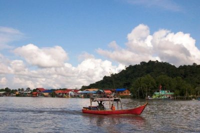
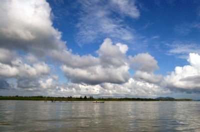
Kampung Bako |
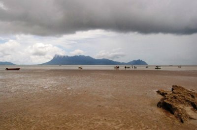
Teluk Assam |
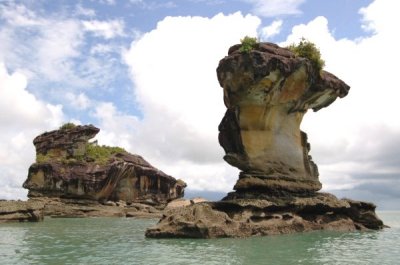
Bako Sea Stack |
Teluk Paku |
Tabo River |
Teluk Pandan Kecil |
Teluk Pandan Kecil Trail |

Lintang Trail |
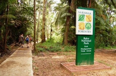
Bako National Park HQ |
| comment | share |
| Guest | 14-Aug-2010 14:40 | |