


|
|
|
|
|
|
| bobglen97 | profile | all galleries >> Galleries >> Salt River Canyon | tree view | thumbnails | slideshow |
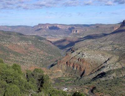
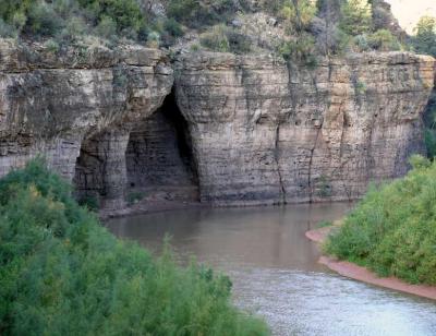
 bPA240001.jpg |
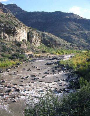
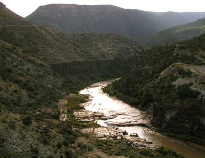
 bPA240002.jpg |
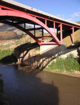
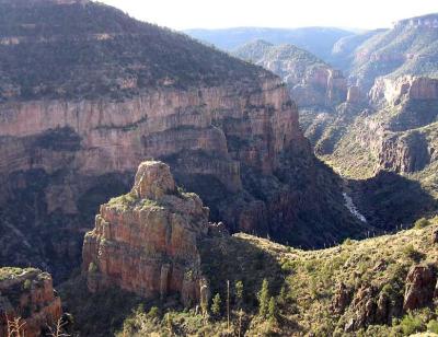
 bPA240003.jpg |
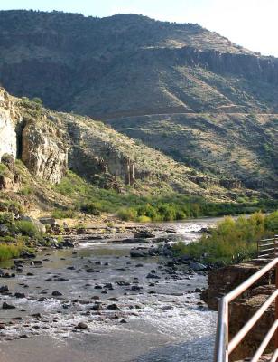
 bPA240004.jpg |
 bPA240005.jpg |
 bPA240007.jpg |
 bPA240009.jpg |
 bPA240010.jpg |
 bPA240011.jpg |
 bPA240013.jpg |
 bPA240014.jpg |
 bPA240015.jpg |
 bPA240017.jpg |
 bPA240018.jpg |
 bPA240019.jpg |
 bPA240020.jpg |
 bPA240021.jpg |
 bPA240027.jpg |
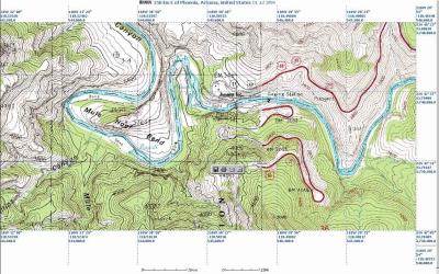 bmapsrc.jpg |
| comment | share |