


|
|
|
|
|
|
| Brian McMorrow | profile | all galleries >> Asia >> China - 中国 >> Tibet - 西藏 (བོད་) >> Tingri to Zhangmu | tree view | thumbnails | slideshow |
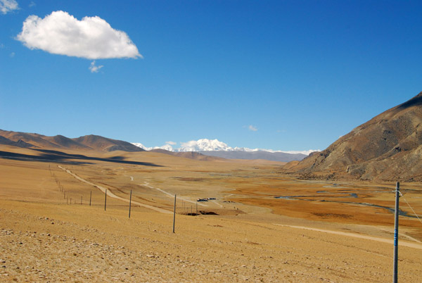
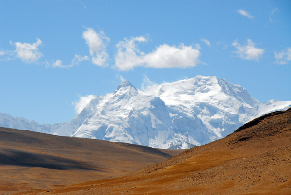
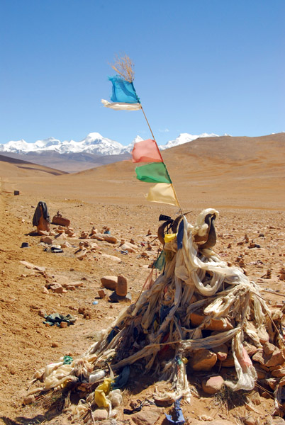
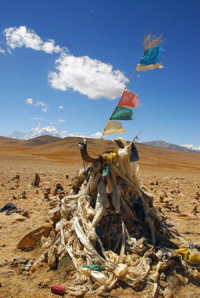
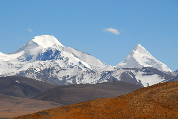
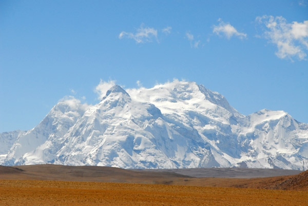
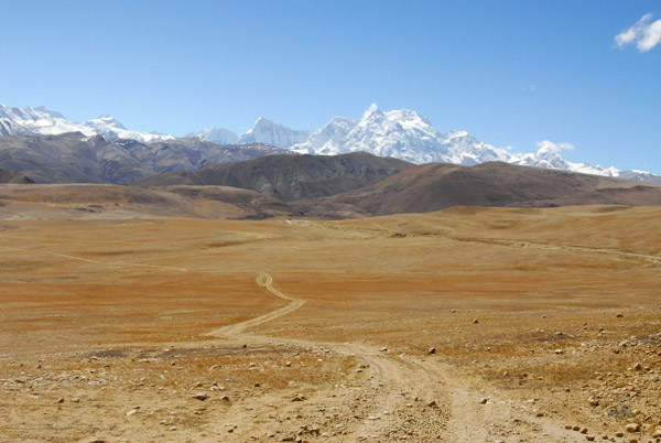
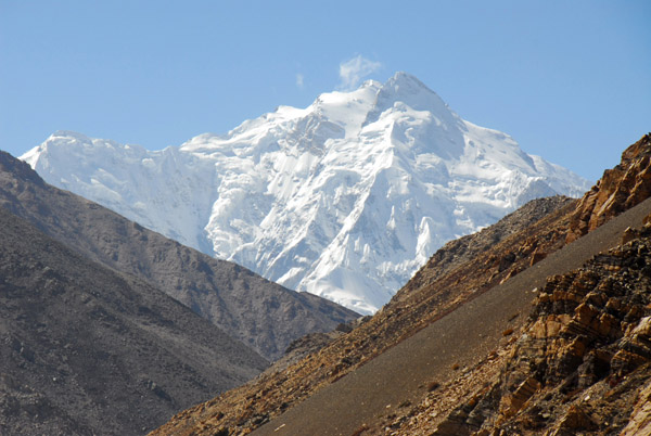
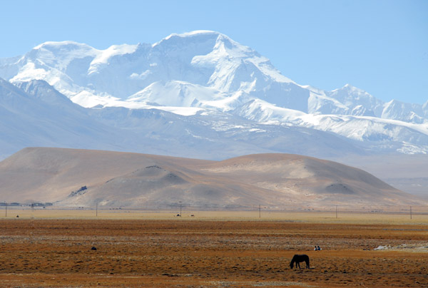 Looking back for a last view of Cho Oyu (8153m) |
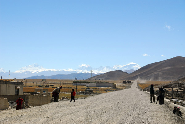
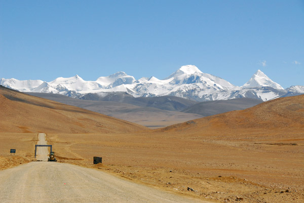
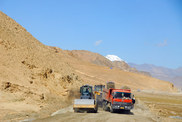 Paving the Friendship Highway west of Old Tingri headed to Nepal |
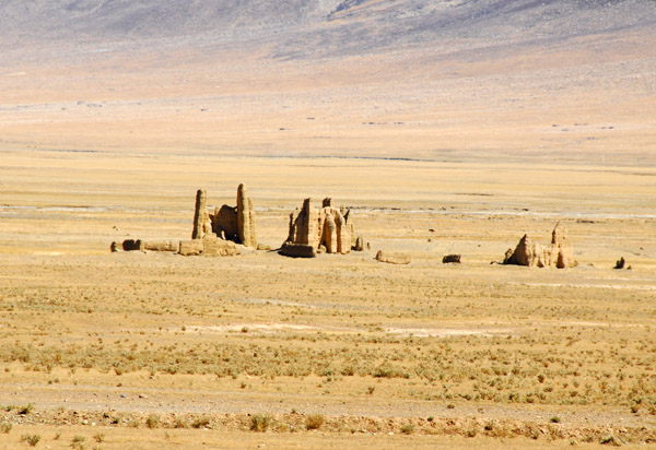
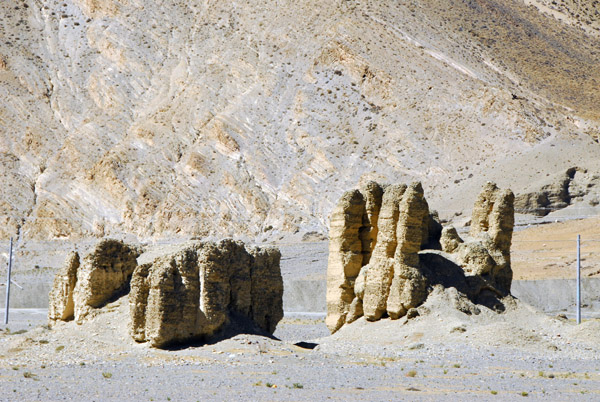
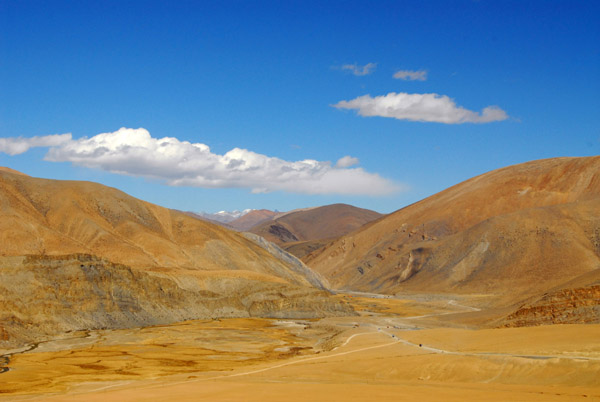
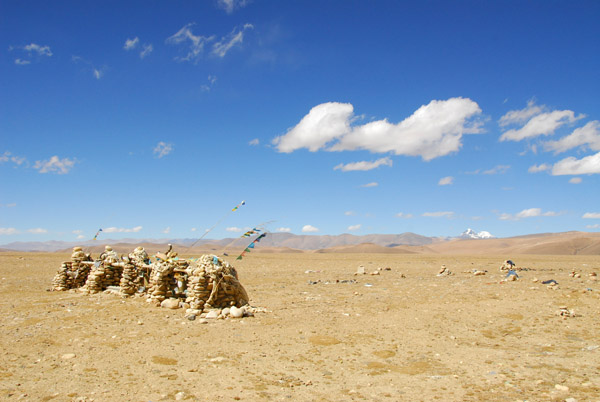
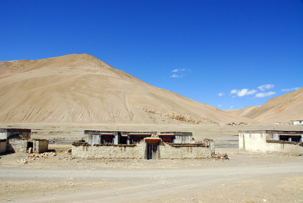
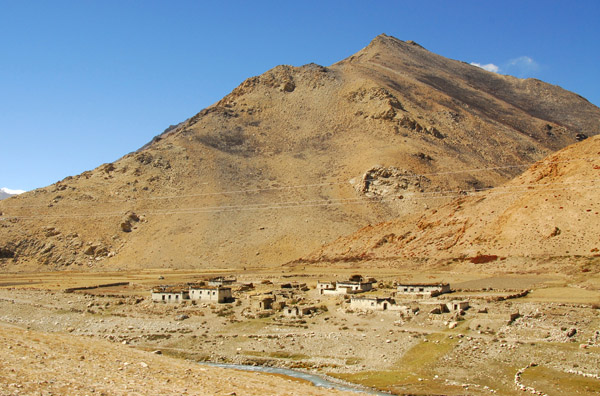
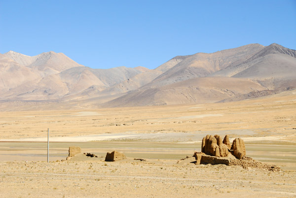 The roadside from Tingri to Nepal is littered with the ruins of old mudbrick buildings |
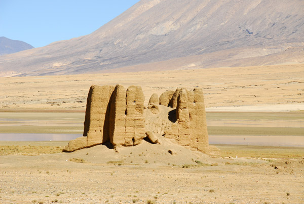 Ruins of a mudbrick fort melting back into the landscape |
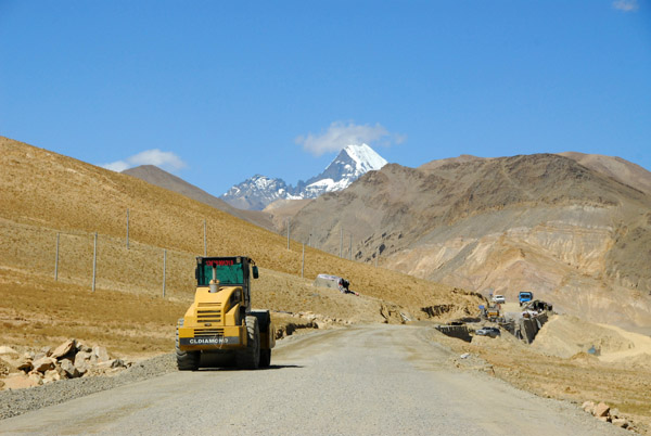
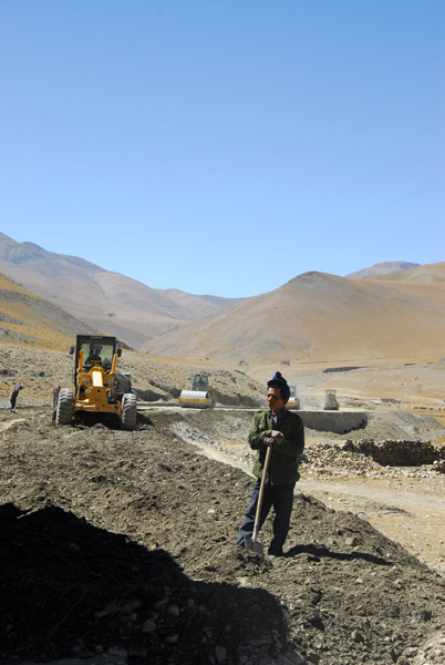
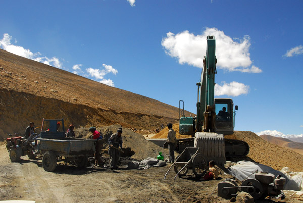
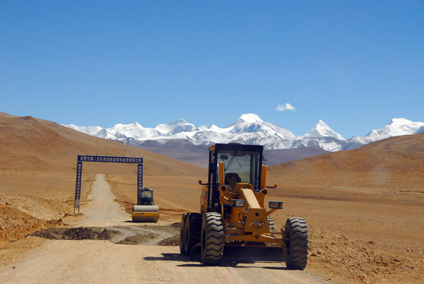
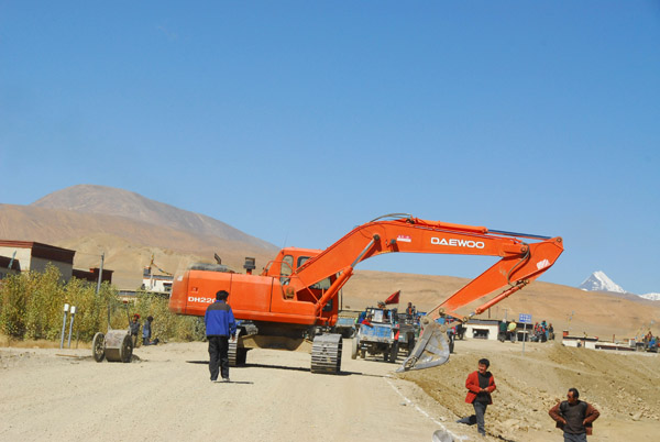 Road construction, Friendship Highway |
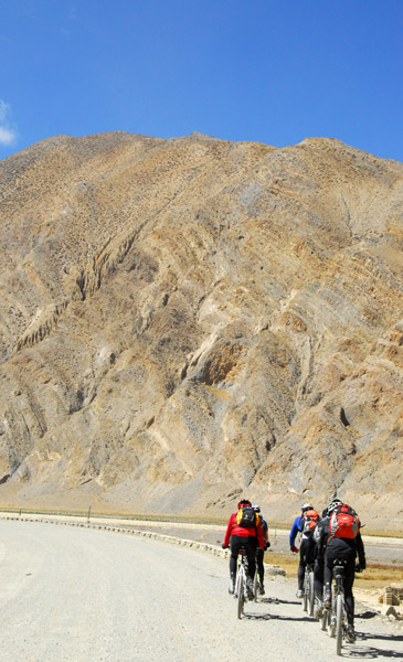
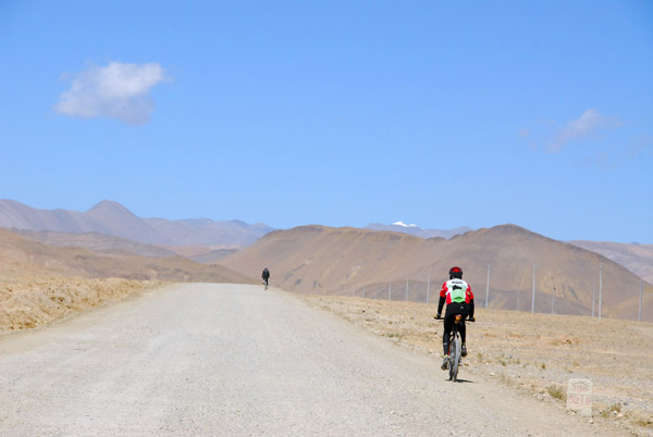 Cyclists passing km 5219 on the Friendship Highway - 167 km to go to the Nepal border |
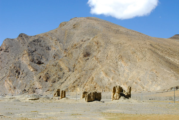
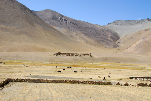
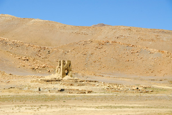 Ruins which may date to the 1791 invasion of Tibet by Nepal |
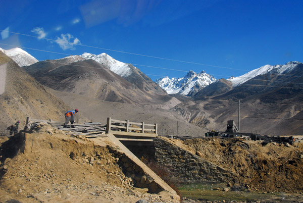
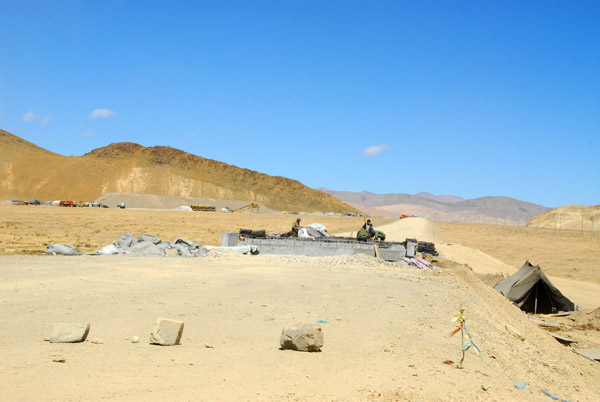 Construction of a small bridge along the Friendship Highway |
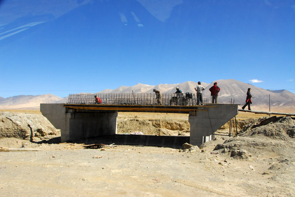 Small bridge under construction, Friendship Highway |
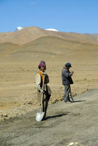 Tibetan working on the road crew |
 More ruins off the Friendship Highway near Gutso |
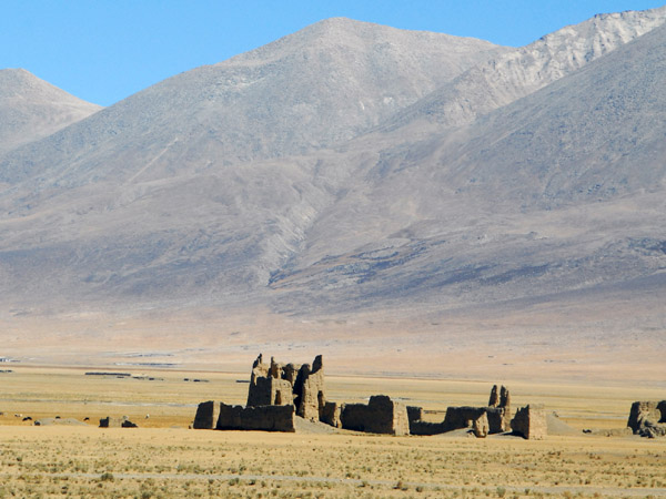 More ruins off the Friendship Highway near Gutso |
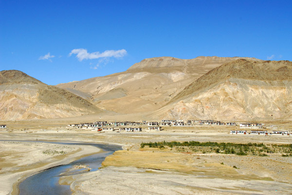
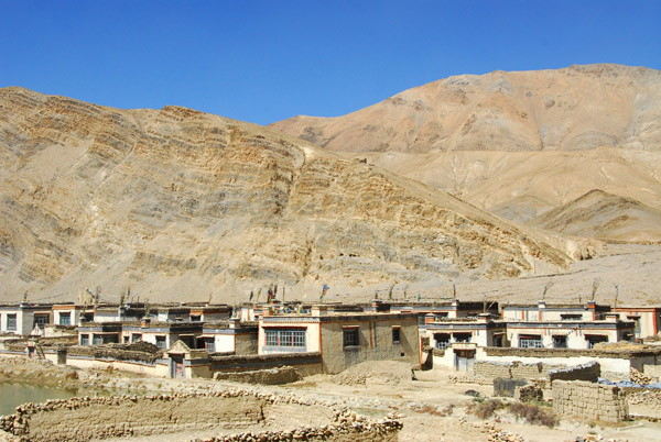
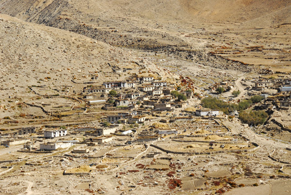
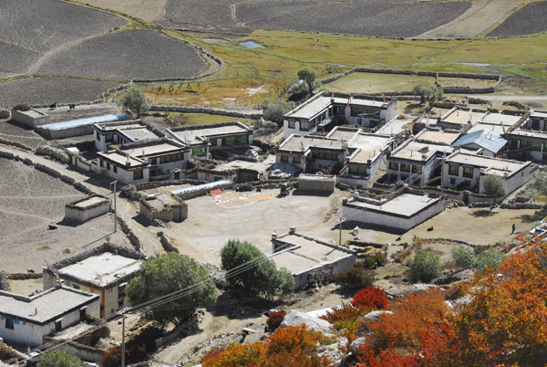
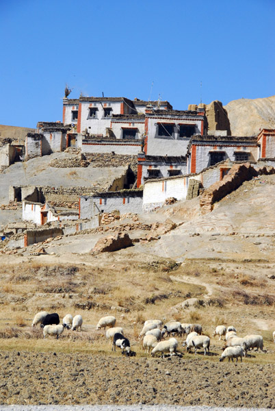 Tibetan village Gutsuo |
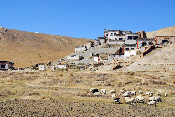 Tibetan village Gutso |
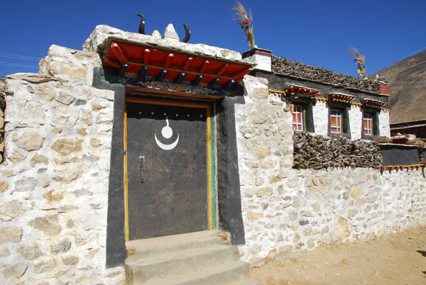
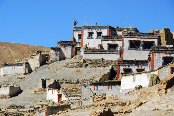 Village painted with the Sakyapa colors |
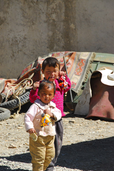 Kids in Gutso |
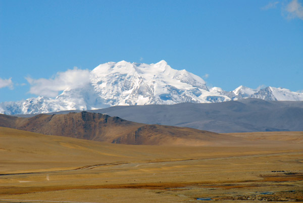
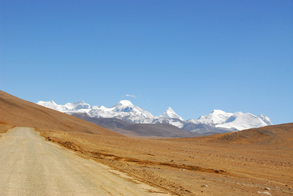
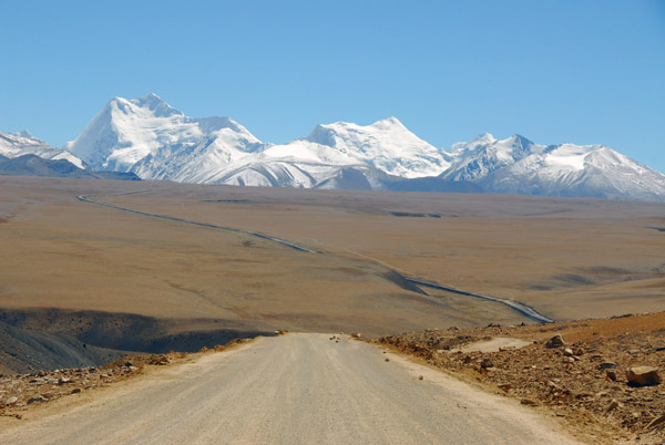
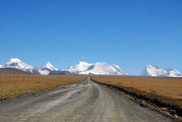
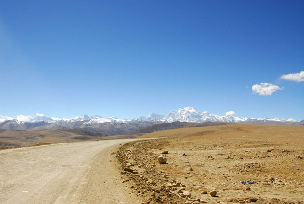
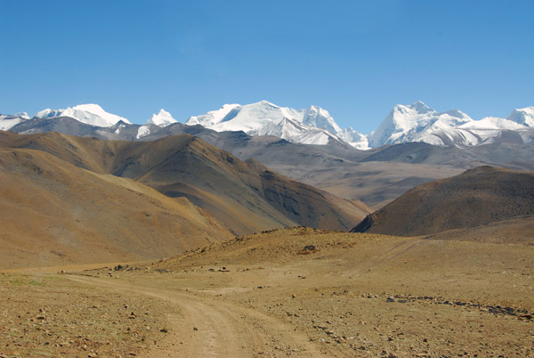
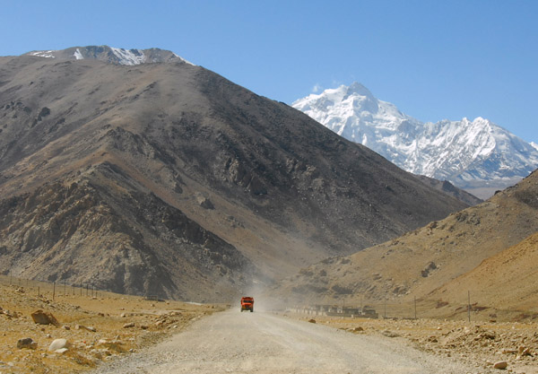
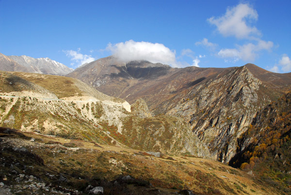
 Looking back along the Friendship Highway with the High Himalaya from Everest to Cho Oyu |
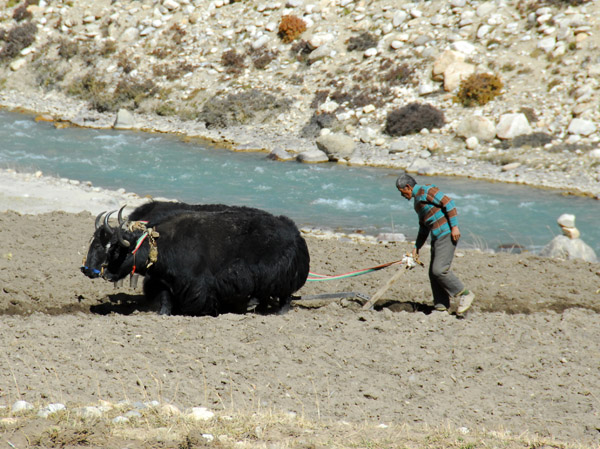
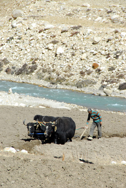
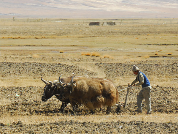 Tibetan farmer plowing a brown field with a pair of yaks |
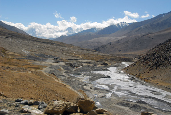
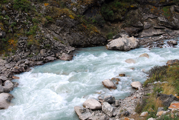
 Men Chu River, Tibet |
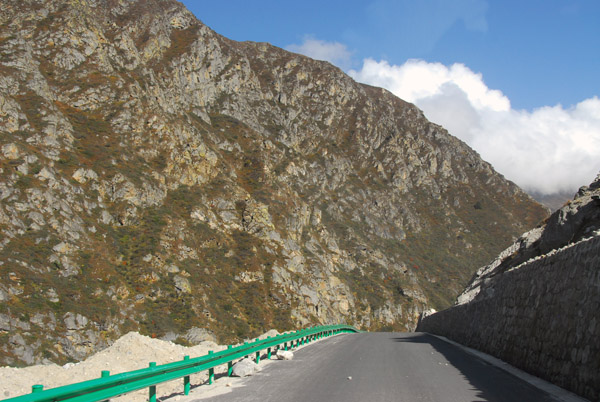
 Soon the entire Friendship Highway will be paved all the way to the Nepal border |
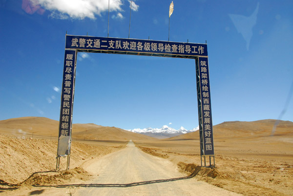
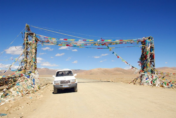
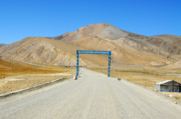 Gateway across the Friendship Highway |
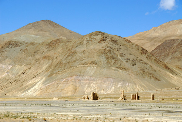 More ruins in the distance |
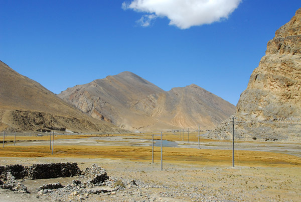
 Ruins along the friendship Highway |
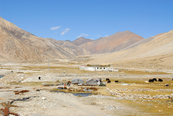
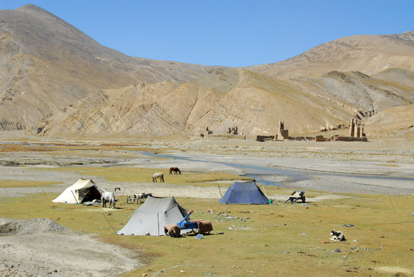 Tibetan nomad tents along the river across from the ruins |
 Passing through another Tibetan village along the Friendship Highway |
 Another group of cyclists bound for Nepal |
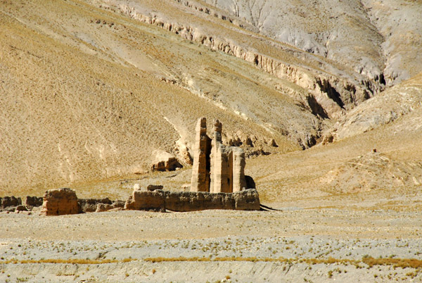
 Roadside ruins |
 Soon, these ruins will entirely melt away |
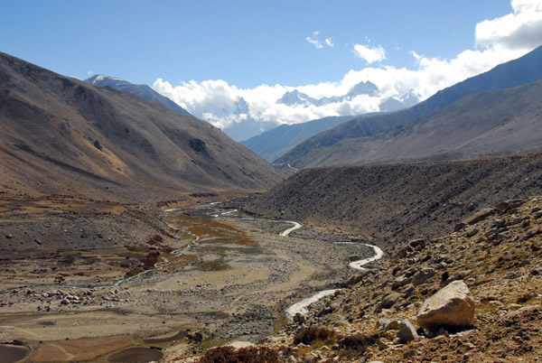
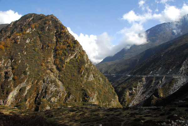
 Men Chu River valley along the Friendship Highway |
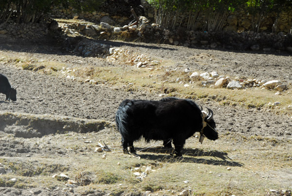
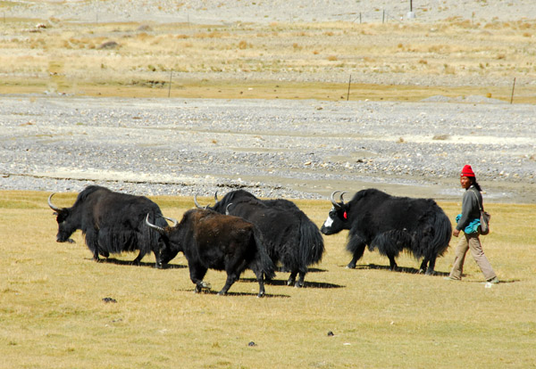 Tibetan man walking his yaks |
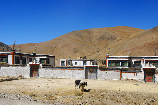
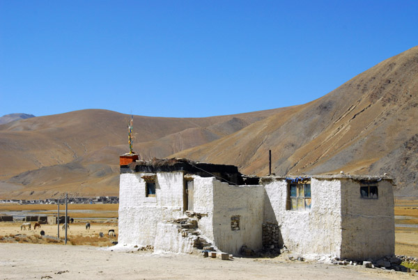 Whitewashed Tibetan house along the Friendship Highway |
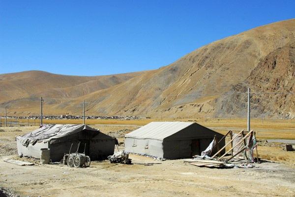 The camp of a Chinese road crew along the Friendship Highway |
 Road construction on the Friendship Highway |
 Roadside village, Tibet |
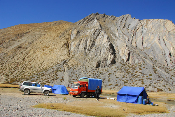 Camp set up for the cyclists we passed |
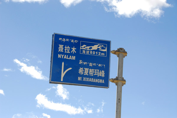 Sign for Mt Shishapangma (Mt. Xixiabangma) and the road through the Kyirong Valley, 5263 |
 Road leading west through the Kyirong Valley and Mt. Xixiabangma base camp |
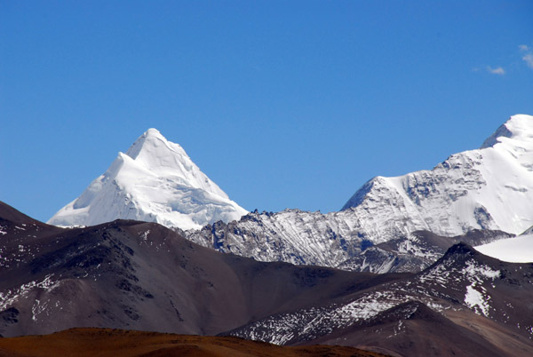
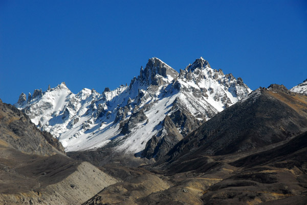
 Not Mt. Xixiabangma but rather Gang Benchen (7299m) in the Langtang Himal at N28.555/E85.543 |
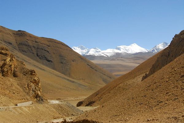
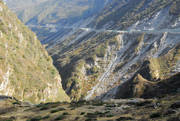
 Looking back down to the base of La Lung-la Pass and the junction for Kyirong Valley |
 Road crew working on the Friendship Highway as it climbs the La Lung-la Pass |
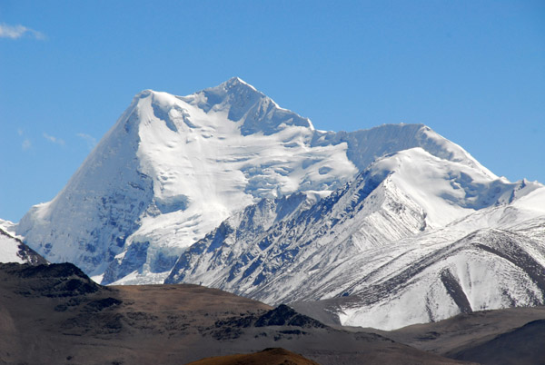
 Mt. Shishapangma ( Xixiabangma) 8013m / 26,289ft |
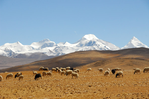 Sheep grazing at 5000m with the Lapche Kang massif |
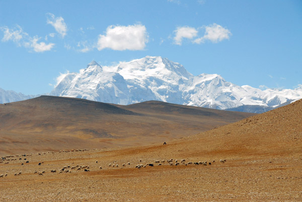 Mt. Shishapangma (8013m / 26,289ft) |
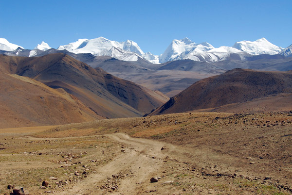
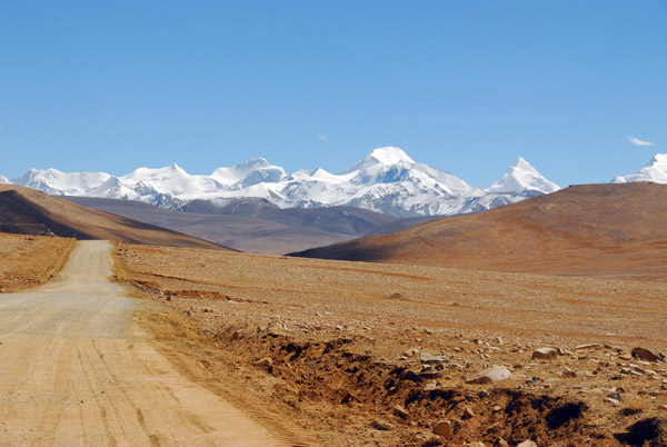 Friendship Highway with Lapche Kang massif |
 La Lung-la Pass (5124m / 16,811 ft) |
 La Long-la Pass (N28.614/E86.136) km 5276 |
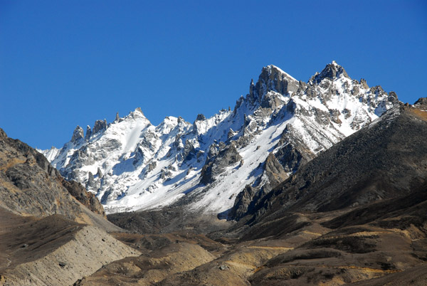
 Lapche Kang I (7367m) (Labuche Kanga I), Rolwaling Himal |
 Friendship Highway descending La Long-la Pass in front of the Lapche Kang massif |
 Road equipment on an unpaved section of the Friendship Highway |
 Gate over the Friendship Highway near La Long-la Pass |
 Friendship Highway, La Lung-la Pass |
 Friendship Highway in front of the Lapche Kang massif |
 The small valley between the La Lung-la and Tong-la passes |
 Friendship Highway climbing towards Tong-la Pass in front with Lapche Kang (7367m / 24,156 ft) on the left |
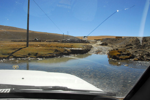 Land Cruiser fording a small stream at km 5282 |
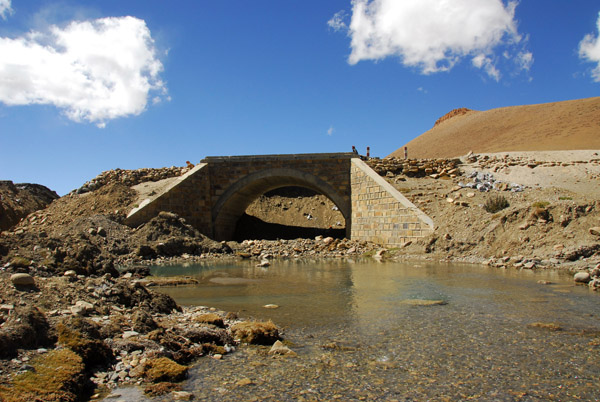 A new bridge underconstruction as part of improvements to the Friendship Highway (N28.581/E86.149) |
 Mt. Shishapangma (8013m / 26,289ft) |
 Friendship Highway headed for the Lapche Kang massif with Lapche Kang (7367m) on the left |
 Mt. Shishapangma and the nearby peaks Nyanang ri, Phola Gangchen, |
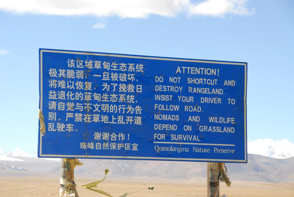 Attention! Do not shortcut and destroy rangelan. Insist your driver follow the road. Nomads and wildlife depend on grassland... |
 Tong-la Pass (5120m / 16,797 ft) km 5289 |
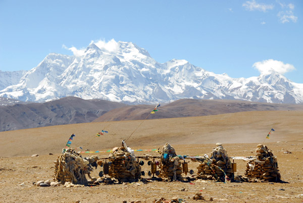 Shrines of Tong-la Pass with Mt. Shishapangma (8013m |
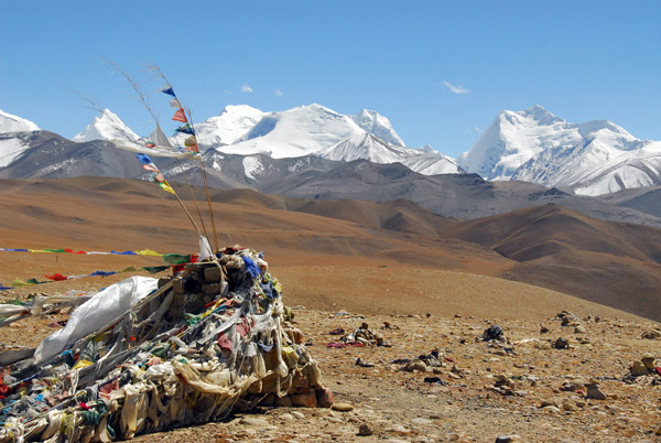 Lapche Kang massif with prayer flags on windy Tong-la Pass |
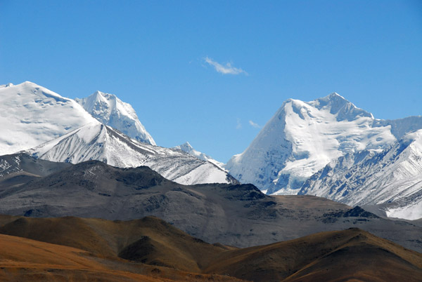 Lapche Kang massif south of Tong-la Pass (N28.309/E86.241) |
 Lapche Kang massif south of Tong-la Pass (N28.304/E86.320) |
 Lapche Kang massif south of Tong-la Pass (N28.309/E86.241) |
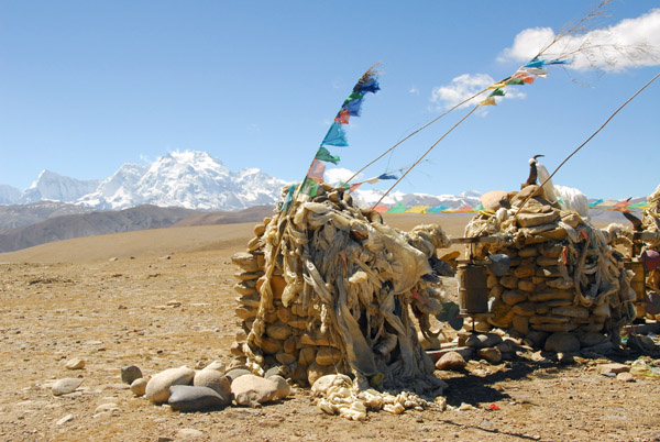 Tong-la Pass (N28.510/E86.156) with Mt. Shishapangma (8013m |
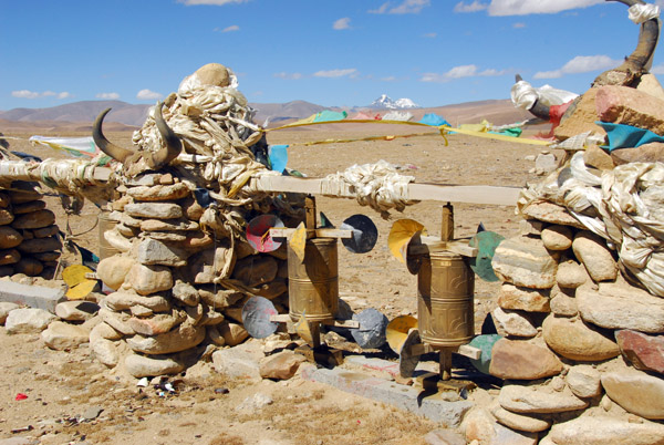 Wind-powered prayer wheels, Tong-la Pass (5120m) |
 Shrines at Tong-la Pass (5120m) |
 Descent from Tong-la Pass at 5120m (16,797ft) to the Zhangmu at 2350m (7710 ft) in 89km of road |
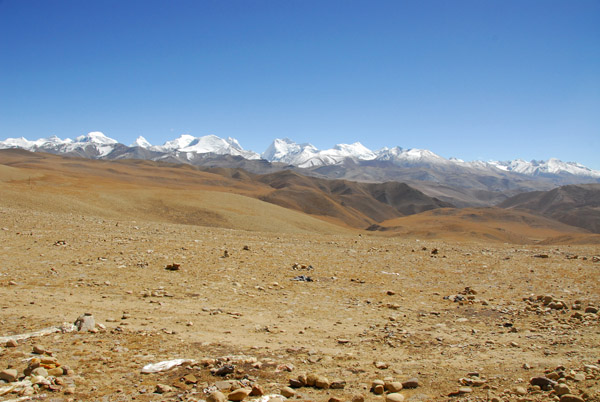 View of the Lapche Kang massif from Tong-la Pass looking south |
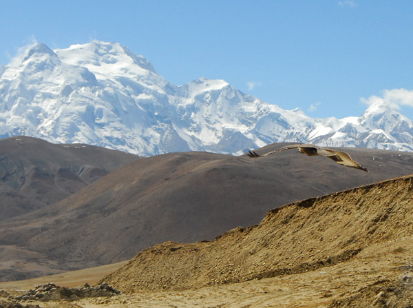 Falcon of some type soaring in front of Mt.Shishapangma (8013m) |
 Off-road down the Tong-la Pass with Mt. Shishapangma (8013m / 26,289ft) 40 km away |
 A sign told drivers to stick to the main road but of course my driver ignored this |
 Friendship Highway is all downhill now headed for Nepal |
 Descending the Tong-la Pass offroad |
 Village at the base of the Lalung-la Pass, Tibet |
 Ruins of a fortress (N28.401/E86.108) |
 Phola Gangchen (7716m / 25,314ft) from the east |
 Friendship highway at N28.363/E86.086 with the summit of Phola Gangchen blocking the view of Shishapangma |
 Village of Ru Jia Cun (N28.363/E86.070) elevation 13,960 ft |
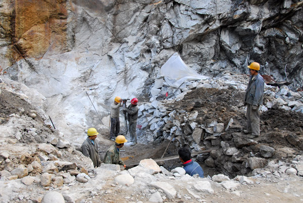
 Gravel quarry along the Matsang Tsangpo river (N28.334/E86.047) |
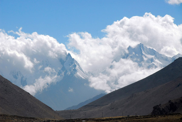 Clouds forming along the Tibet-Nepal border from the warm humid air of the Indian Subcontinent |
 Quarry in the Tibetan farmer plowing a field along the Matsang Tsangpo river |
 Yak with plow on break |
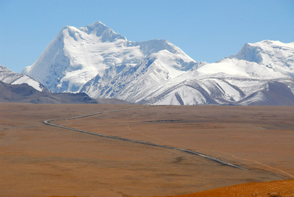
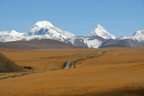
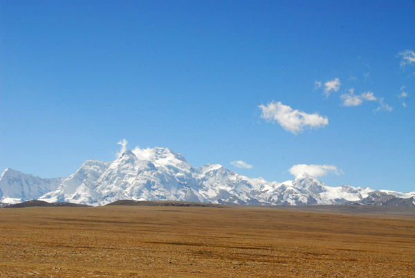
 Himalaya along the Friendship Highway |
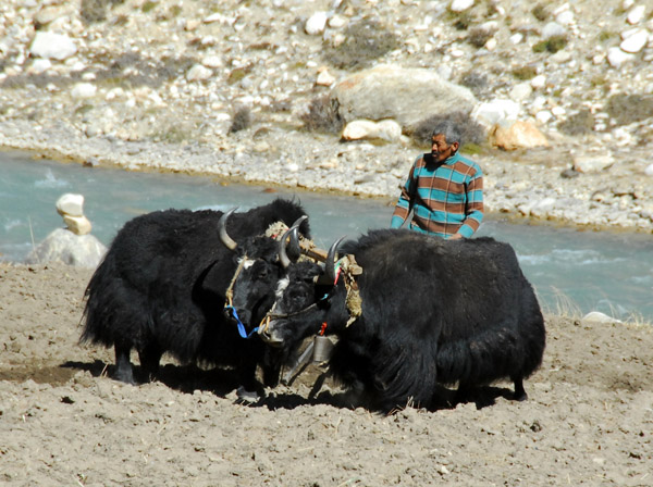 Tibetan farmer plowing a field along the Matsang Tsangpo river with a pair of yaks |
 Tibetan farmer plowing a field along the Matsang Tsangpo river with a pair of yaks |
 Double yak plow, Tibet |
 Bridge across the Matsang Tsangpo river on the Friendship Highway (N28.3007/E86.0313) |
 Blue sky with snowy peaks to the west of the Friendship Highway |
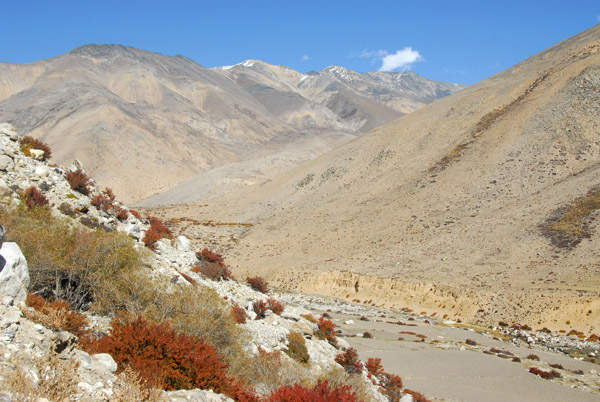
 Matsang Tsangpo river valley descending towards Nyalam and Nepal (N28.254/E86.015) |
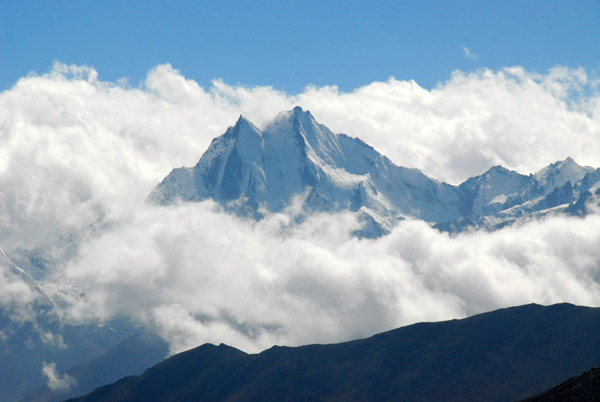 Clouds forming along the Tibet-Nepal border from the warm humid air of the Indian Subcontinent |
 Tangdong (Za Xigang) Village, Tibet (N28.251/E86.024) |
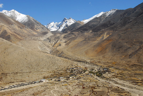 Zig zag road cut into the mountain south of Tangdong (Za Xigang) Village |
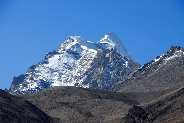
 Snowy peak southeast of Tangdong (Za Xigang) Village |
 Village at Milarepa's Cave, 10 km north of Nyalam |
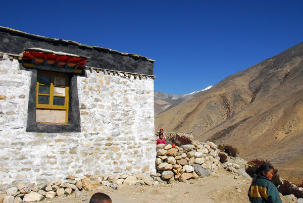 We stopped here for a short walk down the slope to Milarepa's Cave |
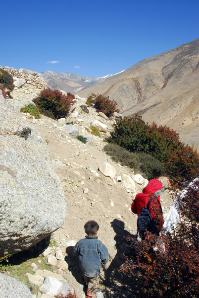 Village kids tagged along |
 Village at Milarepa's Cave |
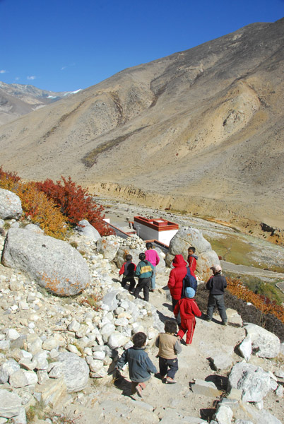 Path to Milarepa's Cave and Nyalam Pelgye Ling temple |
 Along the path to Milarepa's Cave |
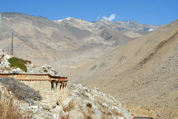
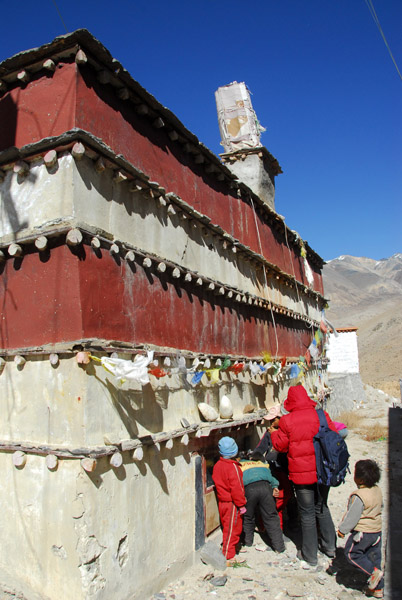 Milarepa's Cave and Nyalam Pelgye Ling temple |
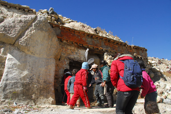 The monks were on holiday so we could just peek in through the window |
 Matsang Tsangpo river valley looking north |
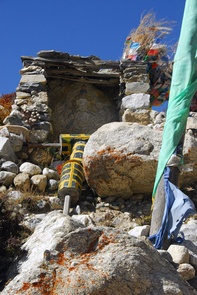 Buddhist shrine near Milarepa's Cave |
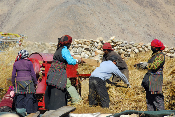 Villagers at Milarepa's Cave processing the harvest |
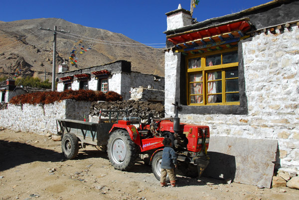 Tractor in the village of Milarepa's Cave |
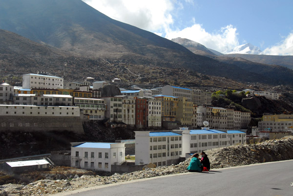 Nyalam, a large town at 3,750 metres (12,300ft) on the edge of the Tibetan Plateau |
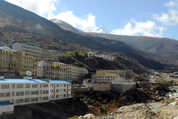 Nyalam, Tibet, 35km from the Nepali border |
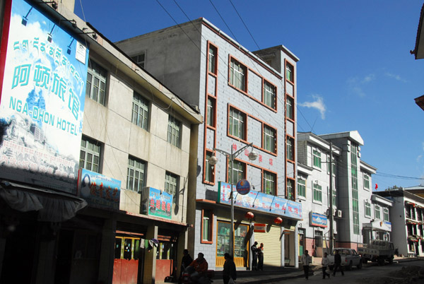 Nga-dhon Hotel, Nyalam |
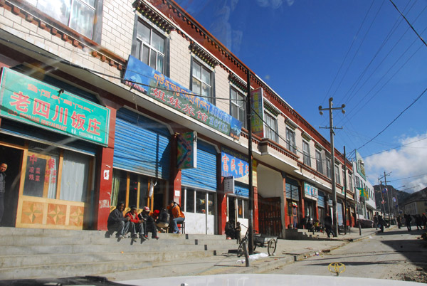 Friendship Highway passing through Nyalam, Tibet |
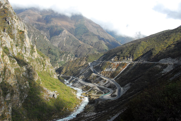
 The final descent to Nepal 35km of treacherous road |
 As the road descends, the vegetation changes and becomes significantly greener |
 Friendship Highway from Nyalam to Zhangmu |
 Parts of the Friendship Highway the Nepal border have been paved easing what had been a very adventerous road |
 Friendship Highway to Nepal |
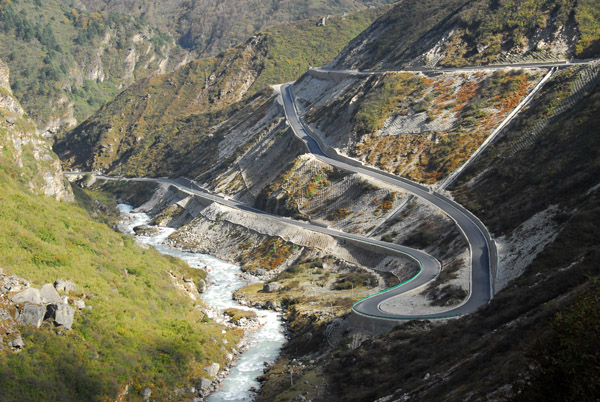 From Nyalam to Zhangmu, the Friendship Highway descends 1450m (4757ft) |
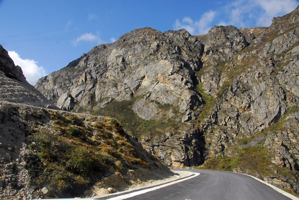 Freshly paved portion of the Friendship Highway north of Zhangmu |
 Friendship Highway descending with the Matsang Tsangpo river |
 Matsang Tsangpo River, Nepal's Sun Kosi River |
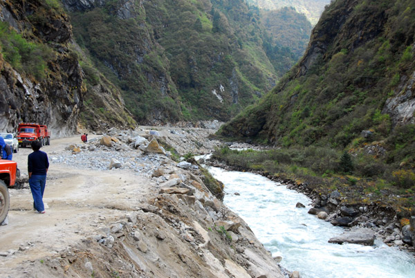
 Chinese construction crew working on the Friendship Highway |
 Road crew blocking most of the road with their dump truck |
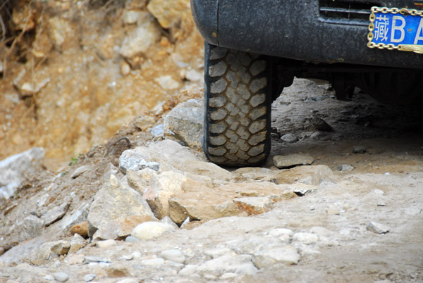 Right on the edge...I'll walk this part, thanks |
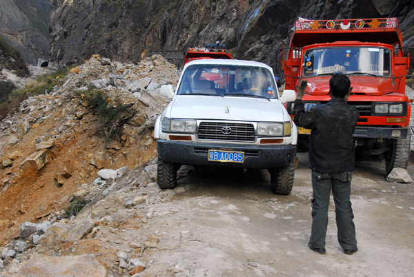 Guiding the driver along the edge |
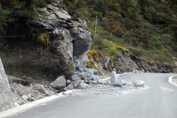 Fresh rock slide partially blocking the newly paved road |
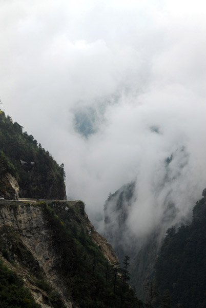
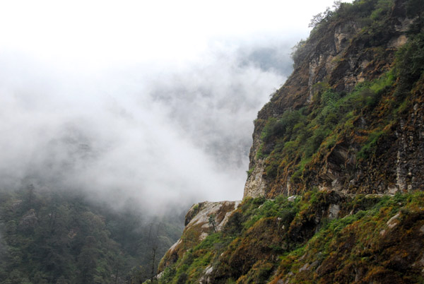
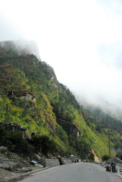 Into the clouds |
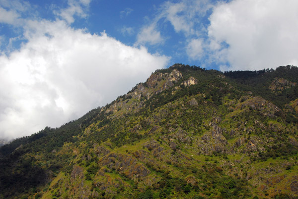
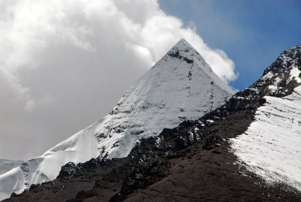 A sharp snow covered peak in front of clouds formed by the warm humid air of the Indian subcontinent |
 This road first opened in May 1967 linking Tibet and Nepal |
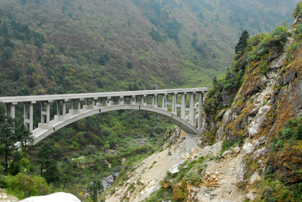 A new bridge on the Sino-Nepal Friendship Highway (N28.079/E86.000) |
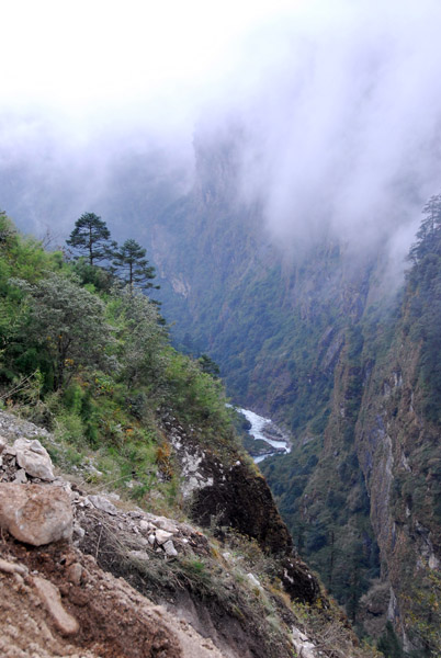
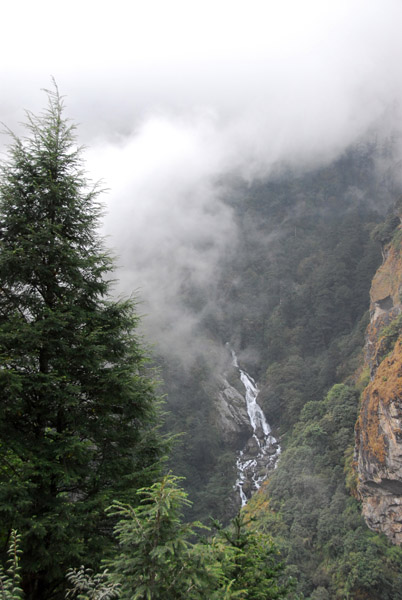
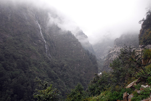
 Clouds giving the valley an eerie look |
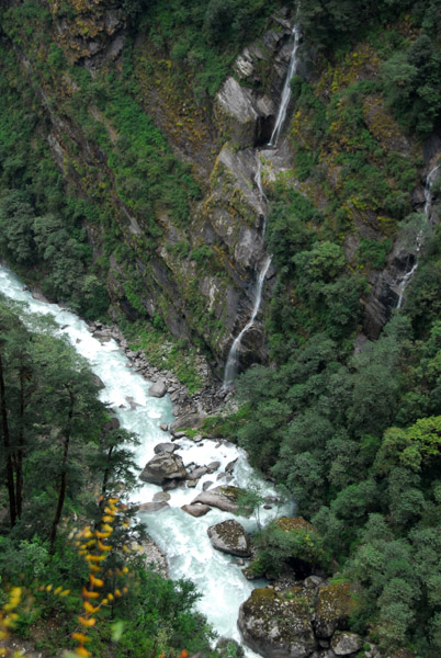
 Waterfalls |
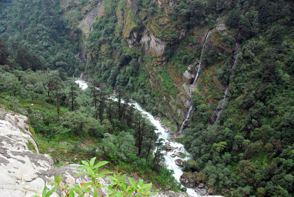
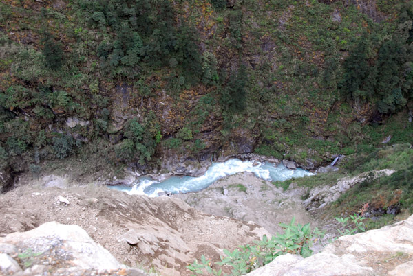 The Matsang Tsangpo River far below |
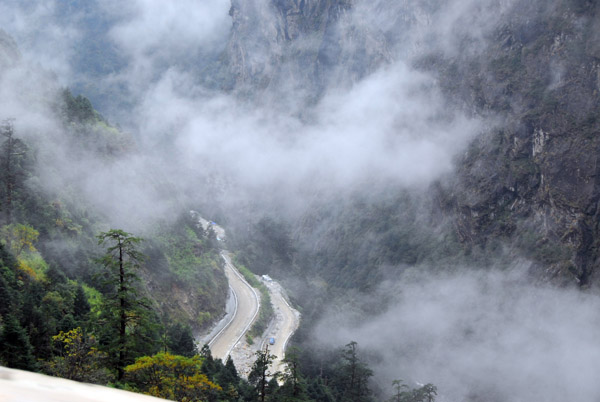
 Matsang Tsangpo River valley leading to Nepal |
 This must be impressive in the rainy season |
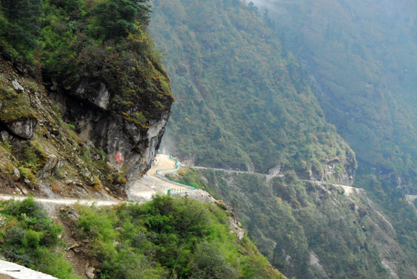
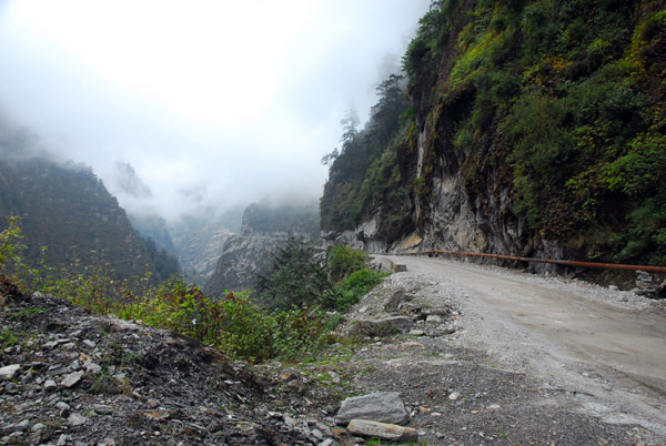
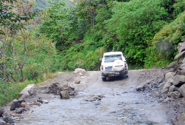
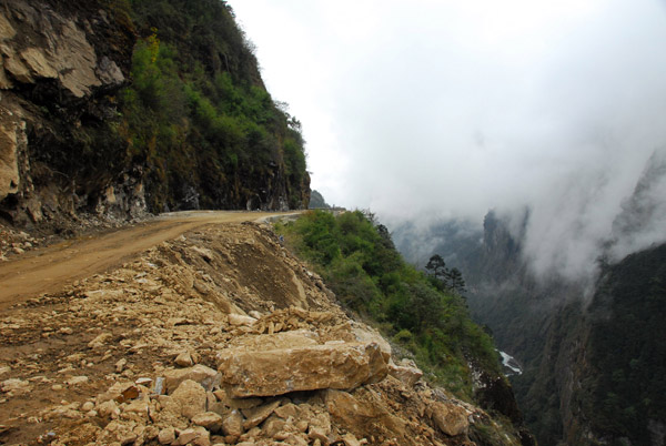 Unpaved section of the narrow Sino-Nepal Friendship Highway leading to Zhangmu |
 Matsang Tsangpo River valley |
 The road far below (N28.038/E85.986) |
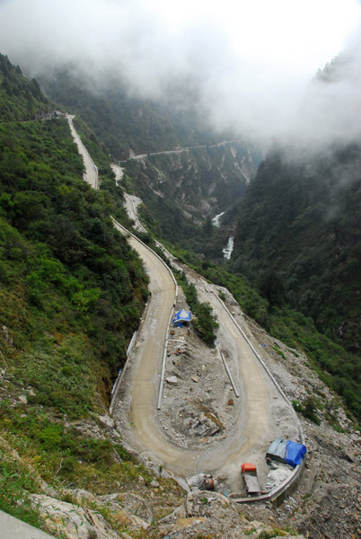 Hairpin curve on the Friendship Highway |
 Unimproved stretch of the Friendship Highway |
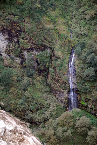
 Waterfall along the Friendship Highway |
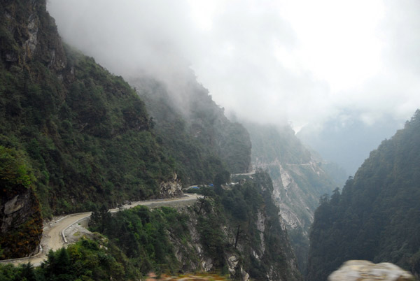
 Friendship Highway cut out of the mountain in the 1960s |
 Descending towards Zhangmu and the Nepal border |
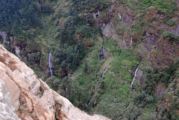
 Waterfalls feeding the Matsang Tsangpo River |
 Matsang Tsangpo River |
 Original 1960s portion of the Friendship Highway outside Zhangmu |
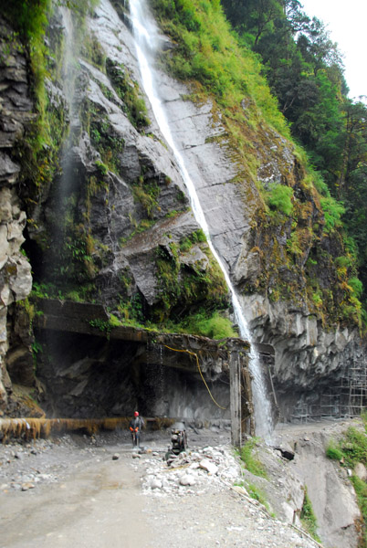 The Friendship Highway passing under a waterfall |
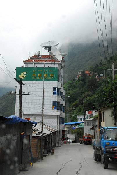 Welcome to Zhangmu, China Post |
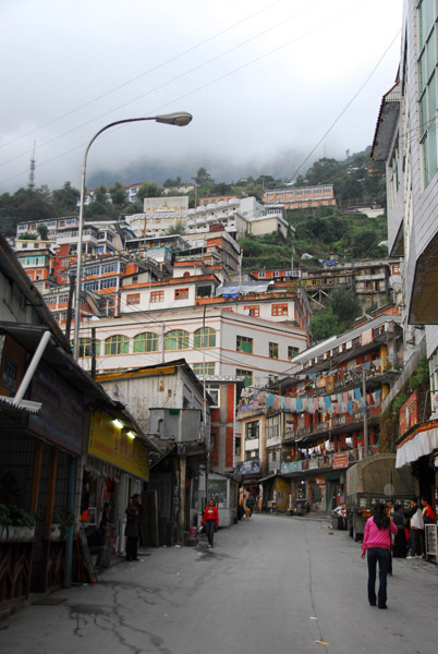
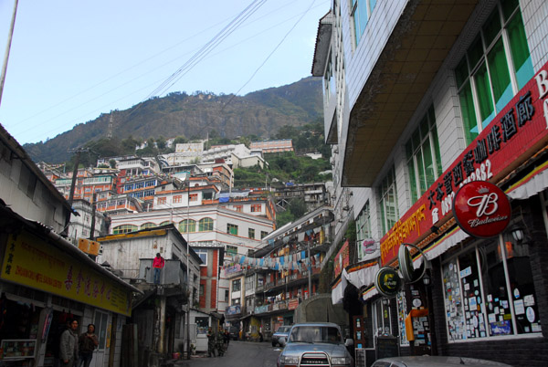
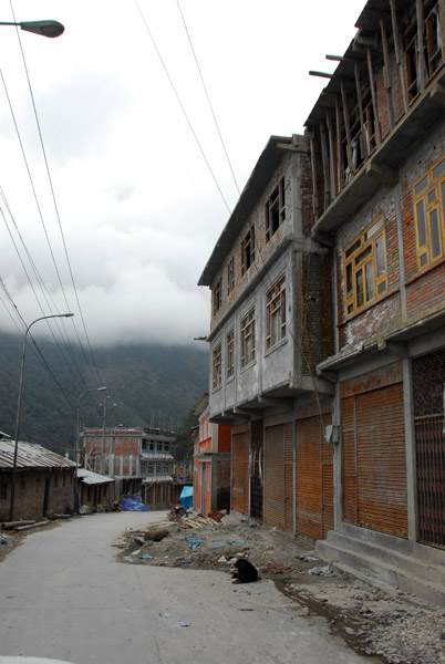 Narrow street of Zhangmu |
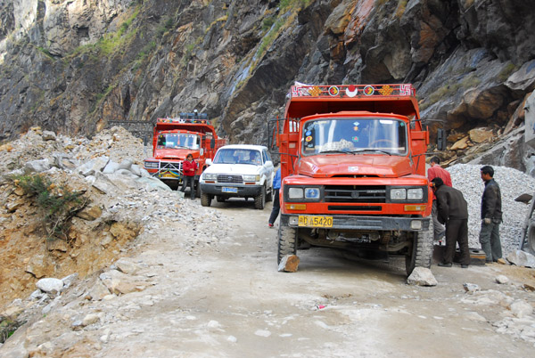
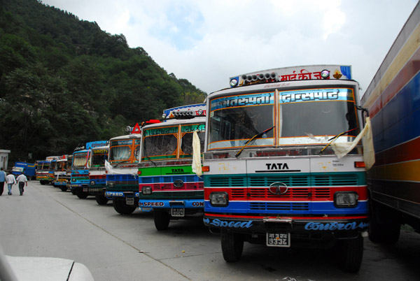 Trucks from Nepal clog up Zhangmu's narrow main street |
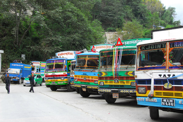 The Nepali trucks aren't allowed further into Tibet |
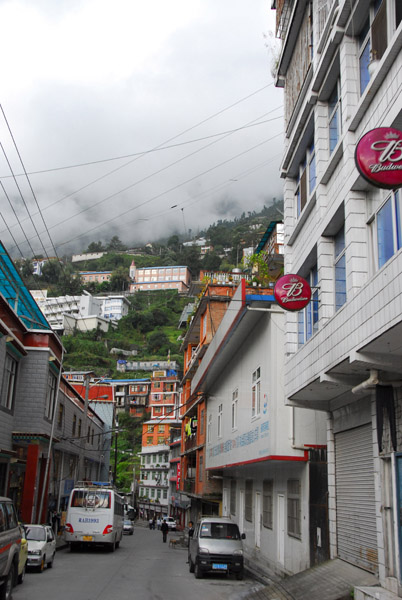
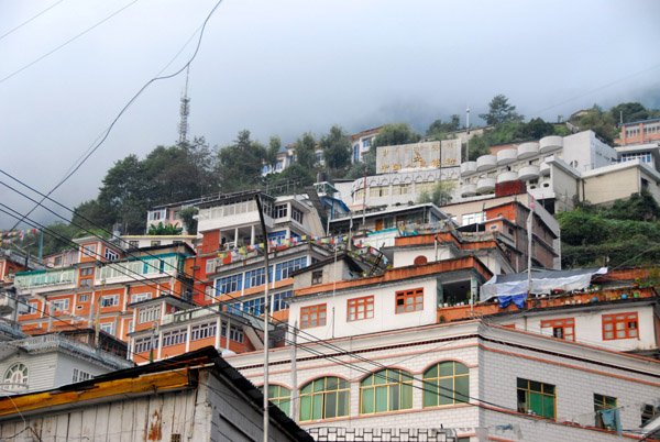
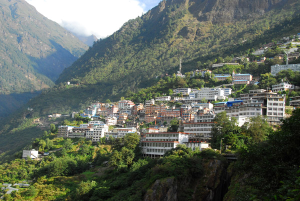
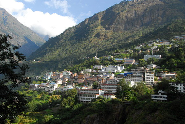
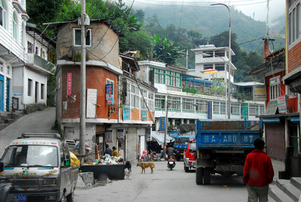 Zhangmu clings to the side of a mountain |
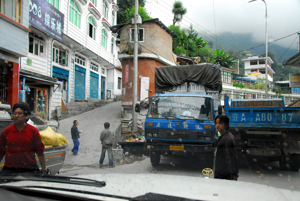 Trucks making the road through Zhangmu nearly impassable |
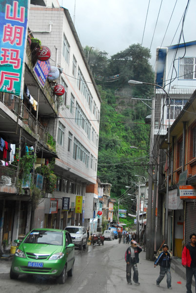 Zhangmu. Tibet's border town |
 Zhangmu, Tibet |
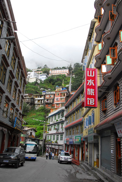 Zhangmu, Tibet |
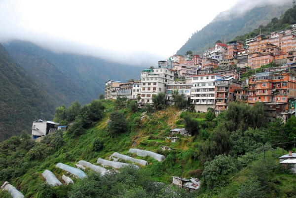 Zhangmu clinging to the side of the mountain high above the river valley |
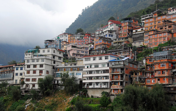 Zhangmu, Tibet elevation 2300m (7545 ft) |
 Zhangmu, Tibet |
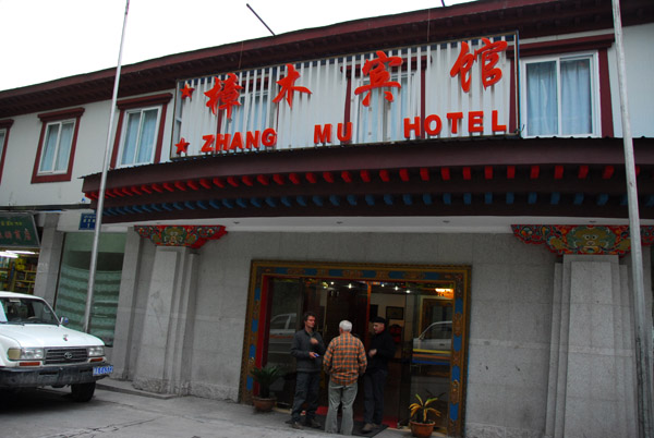 Zhang Mu Hotel, the last night in Tibet |
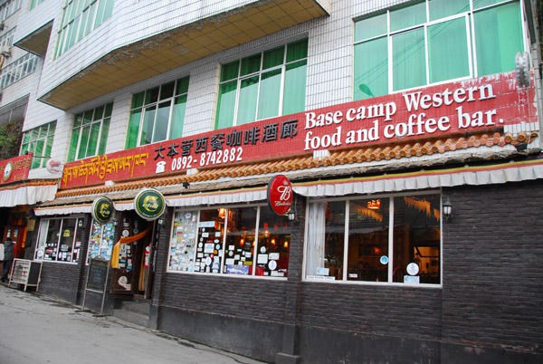 Base Camp western food and coffee bar |
 Zhangmu is 10 km from the Friendship Bridge, the border wtih Nepal |
 In front of the Zhangmu Hotel |
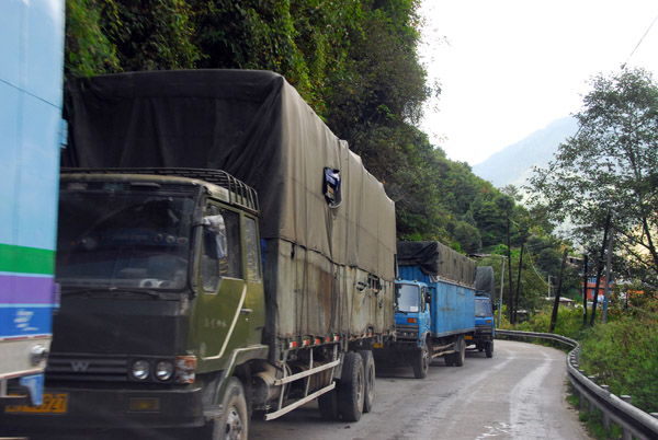 Trucks lined up along the Friendship Highway |
 Leaving Zhangmu in the morning for Tibet |
 Zhangmu, like all of China, is on Beijing time so there's a 2hr 15 min time change at the border |
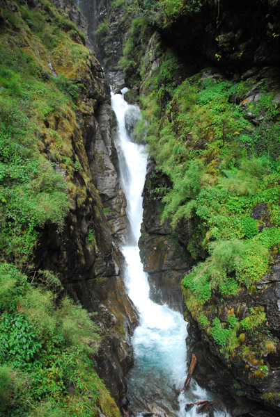
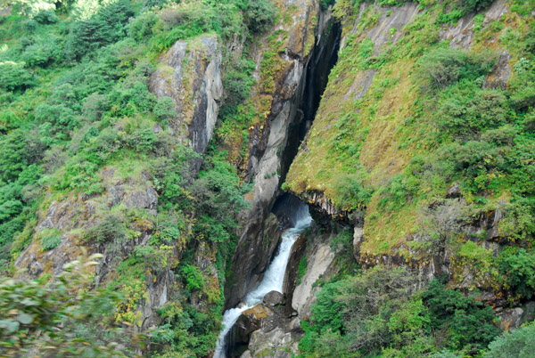 Waterfall in a narrow slot canyon outside Zhangmu |
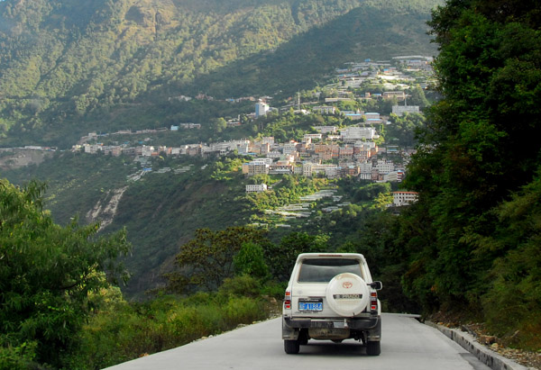 Driving the last few km to the Nepal border |
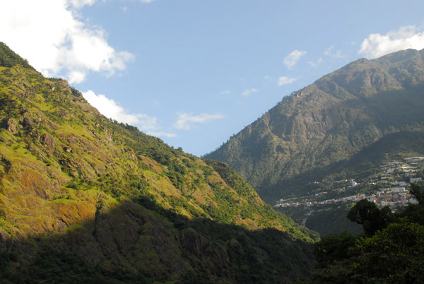
 The green around Zhangmu is a stark contrast to the brown of the Tibetan Plateau |
 Zhangmu behind us |
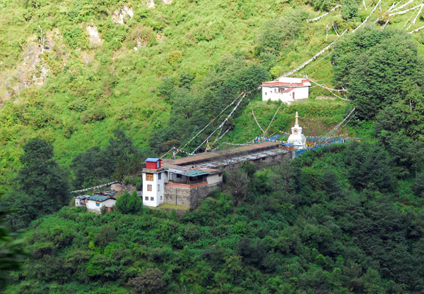 A temple on the Nepal side of the border (N27.975/E85.963) |
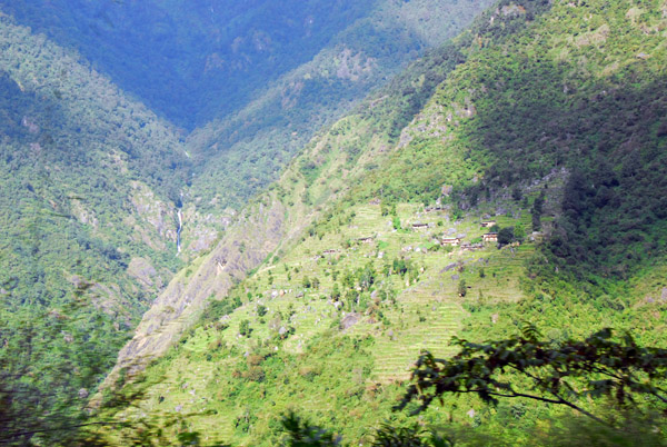 The transition to Nepal is visible with terraced fields built right up to the border |
 The Friendship Highway has run 740km from Lhasa to here the last few km |
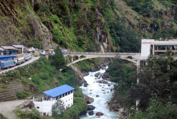 The Friendship Bridge - the border with Nepal (left) and China (right) |
| comment | share |