


|
|
|
|
|
|
| Brian McMorrow | profile | all galleries >> Subsaharan Africa >> Zambia >> Zambia Flying Safari 2010 >> FLND-FLCW | tree view | thumbnails | slideshow |
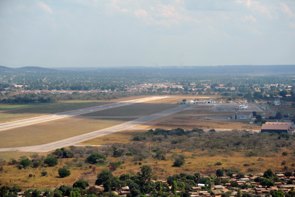 Departing Ndola (FLND) for Chimbwi (FLCM) in the Bangweulu Swamps, 112nm to the northeast |
 The routing from Ndola overflies the southeastern corner of the Democratic Republic of Congo (DRC) |
 Southeastern Upper Katanga Province, D.R. Congo |
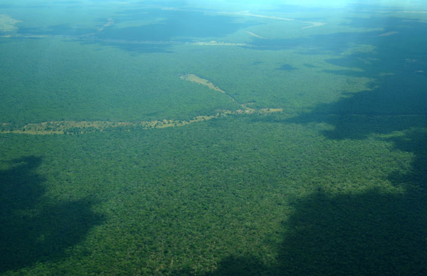 Thick forests of Haute-Katanga Province, southeastern D.R. Congo |
 Loop in the Luapula River at Kabunda, Upper Katanga Province, D.R. Congo |
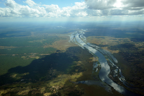 The Luapula River, a branch of the Congo River, flows north into Lake Mweru |
 Luapula River, the border between the D.R. Congo (left) and Zambia (right) - S12 27.4/E029 28.5) |
 , whose waters will eventually flow into the Atlantic via the Congo River |
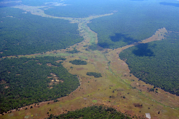
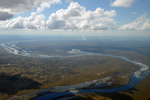
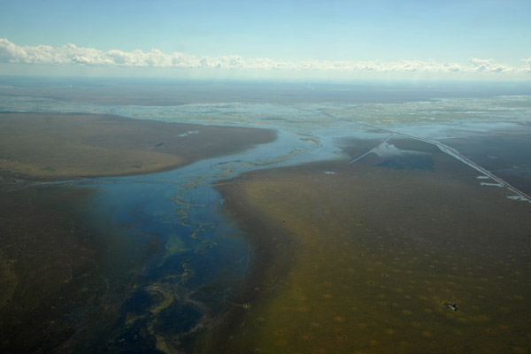
 The Luapula River drains the Bangweulu Swamps into the Congo |
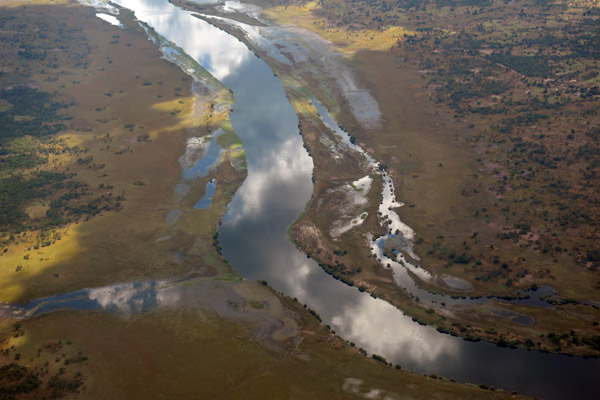
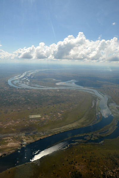
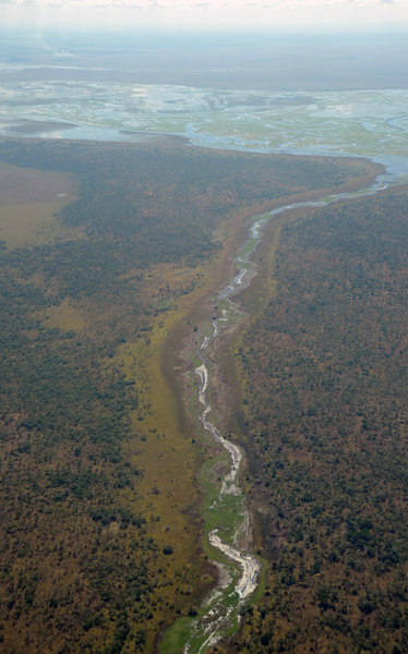
 Big bend in the Luapula River looking from the D.R. Congo to Zambia's East Seven Airstrip |
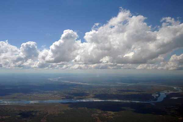
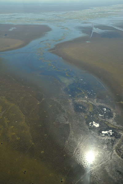
 Where the Luapula River flows out of the Bangweulu Swamps |
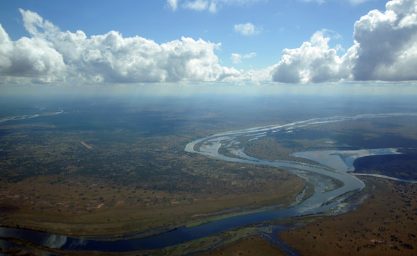
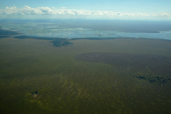
 The Luapula River broadening into the vast Bangweulu Wetlands, still over DRC territory |
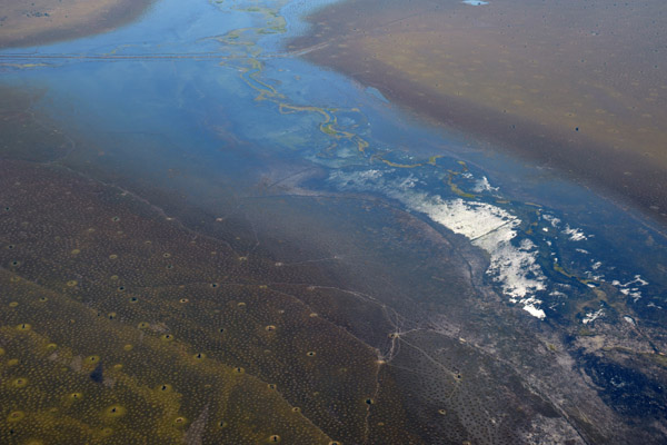
 Tributary of the Luapula, D.R. Congo (S12 14.7/E029 45.4) |
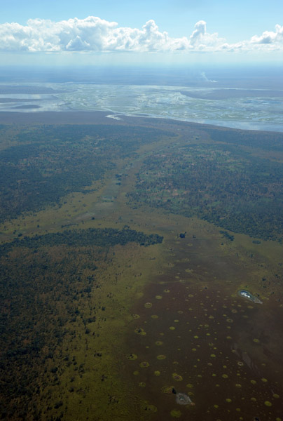
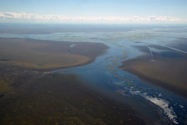
 Approaching the southeastern border of the D.R. Congo south of the Bangweulu Swamps |
 Tributary of the Luapula parallel to Zambia road D235, Bangweulu Swamps |
 Tributary of the Luapula flowing into the Bangweulu Swamps (S12 10/E29 53) |
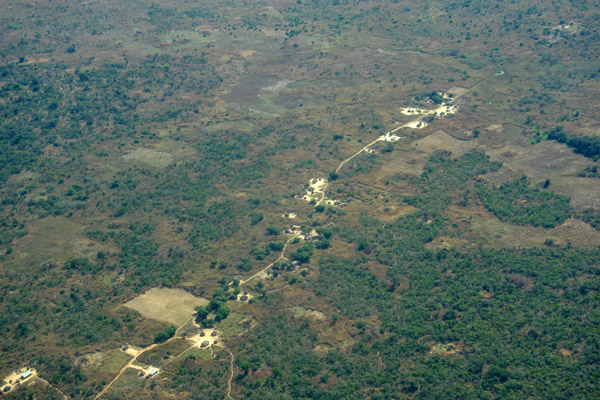
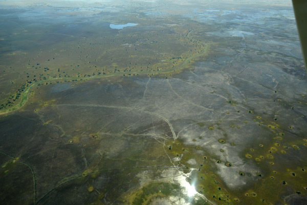
 Tiny islands of land managing to stay above the water level, each with several native huts, Bangweulu Swamps |
 Flooded river along the D235 road, Zambia |
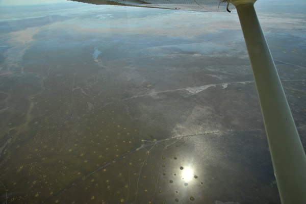
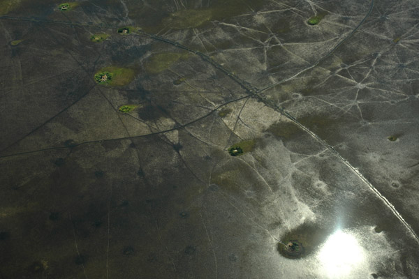
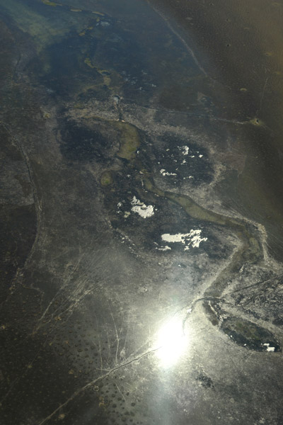 The sun reflecting off the waters of the flooded wetlands |
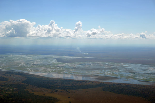
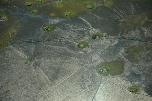
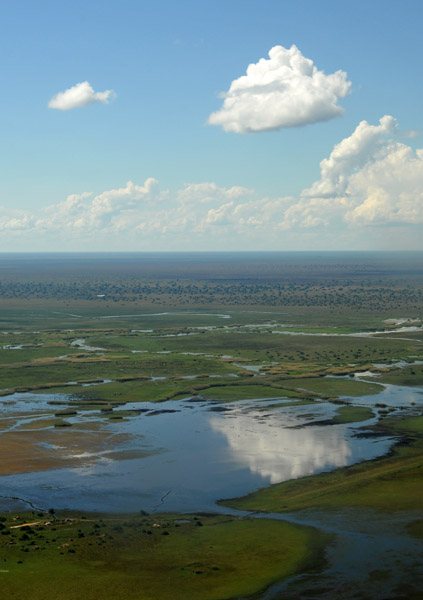
 Bangweulu Swamps, Northern Province, Zambia |
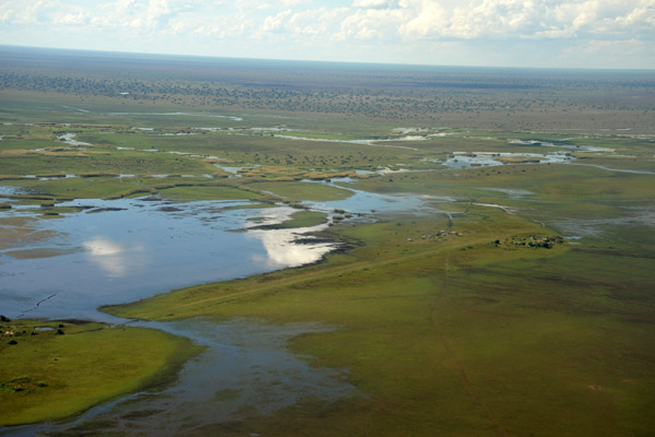
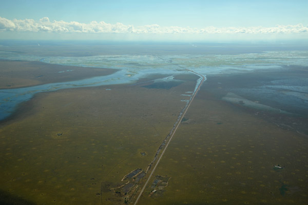 The main road - D235, Bangweulu Swamps, Zambia |
 Overflying the Bangweulu Swamps of northeastern Zambia |
 Sun reflecting off the waters of the Bangweulu Swamps, Zambia |
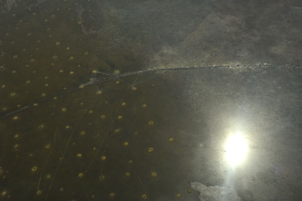
 Tracks crisscrossing the Bangweulu Swamps, Zambia |
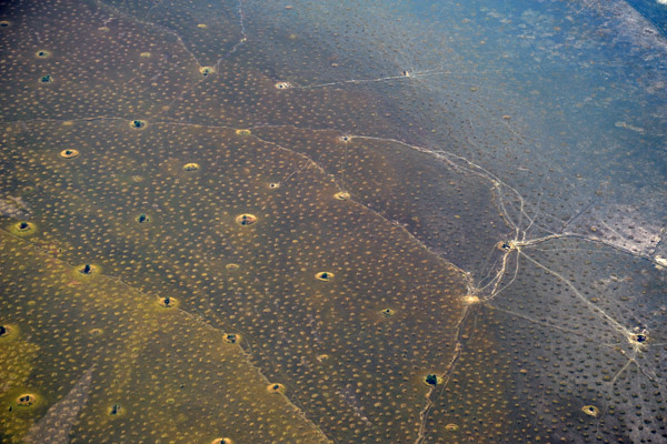
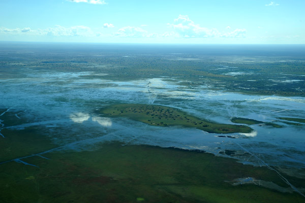
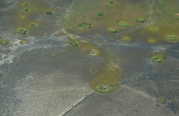 Tiny islands, probably built up on ancient termite mounds, each supporting a native family, Bangweulu Swamps |
 Mokoro trails linking the islands, Bangweulu Swamps |
 Mokoro trails linking the islands, Bangweulu Swamps |
 Impassable flooded roads, Bangweulu Swamps |
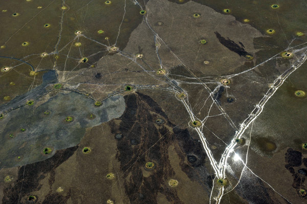
 A large island in the Bangweulu Swamps just west of Chimbwi Airstrip |
 Cloud reflecting in the swamp waters, Bangweulu |
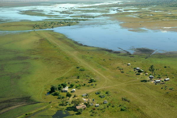
 Chimbwi Airstrip on the edge of the Bangweulu Swamps near Shoebill Island Camp, Zambia |
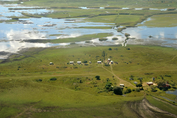 A small village along the runway of the Chimbwi Airstrip |
 Chimbwi - FLCW (S11 58.0/E030 15.4) |
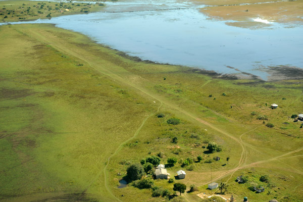 The runway had only dried up sufficiently to use a few weeks earlier |
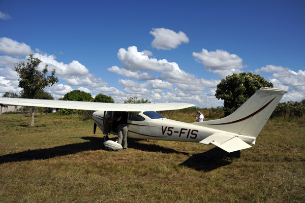 V5-FIS on the ground at Chimbwi Airstrip |
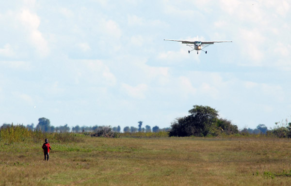 Boy running along the edge of the runway as Ralph is on approach in V5-JOG |
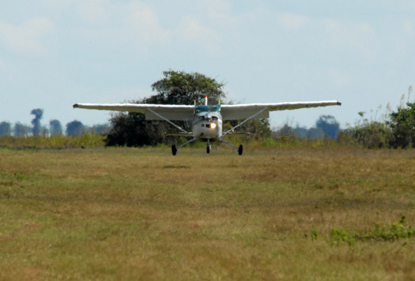 V5-JOG landing at Chimbwi (FLCW) |
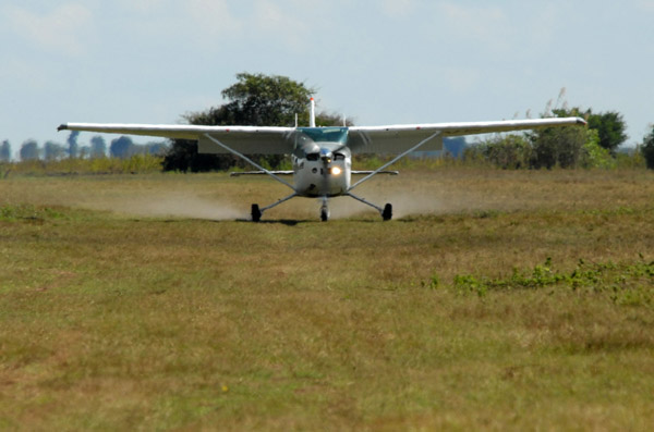 V5-JOG landing at Chimbwi (FLCW) |
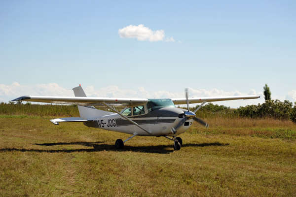 V5-JOG taxiing at Chimbwi |
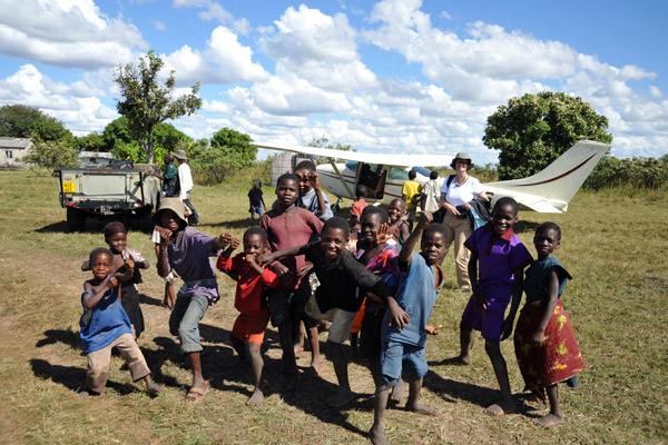 This was the only airstrip on the trip that was close enough to a village to bring out all the kids |
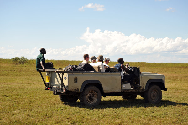 The first batch heads off to the boat to Shoebill Island |
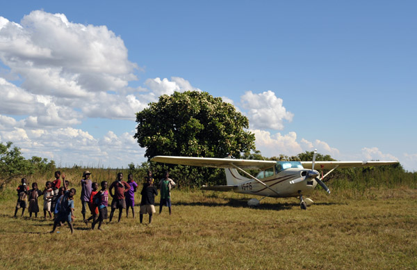 Zambian kids at Chimbwi - we hired a "watchman" to make sure they didn't play with the aircraft |
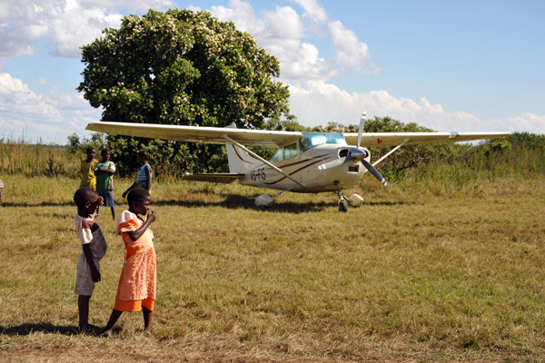 Zambian girls at Chimbwi |
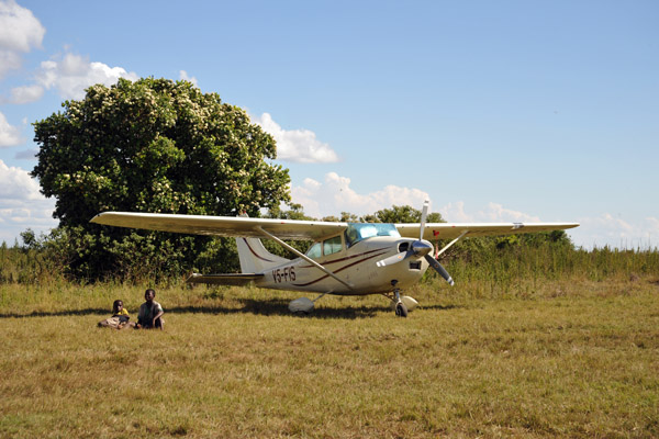 V5-FIS at Chimbwi, Zambia (FLCW) |
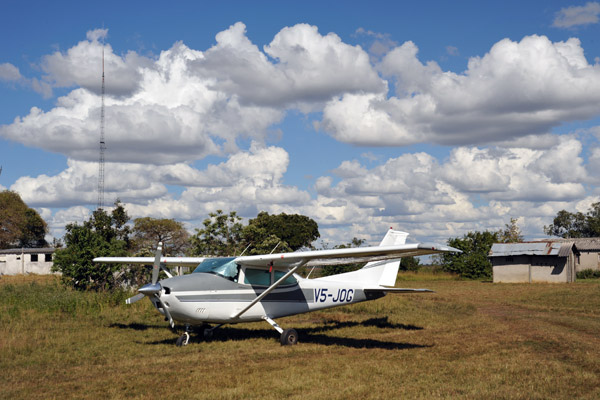 V5-JOG at Chimbwi, Zambia (FLCW) |
| comment | share |