


|
|
|
|
|
|
| Brian McMorrow | profile | all galleries >> Asia >> China - 中国 >> Tibet - 西藏 (བོད་) >> 泽当Tsetang རྩེ་ཐང >> Tsetang - Gampa | tree view | thumbnails | slideshow |
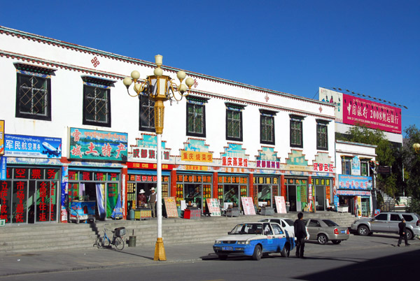
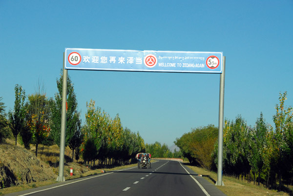 Wellcome to Zedang Again! |
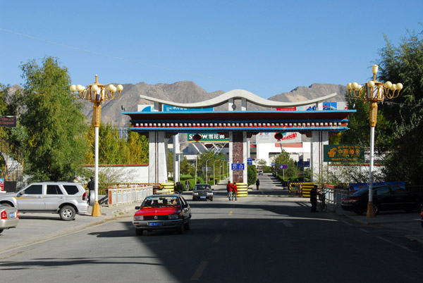
 Tsetang is the easternmost point on this trip |
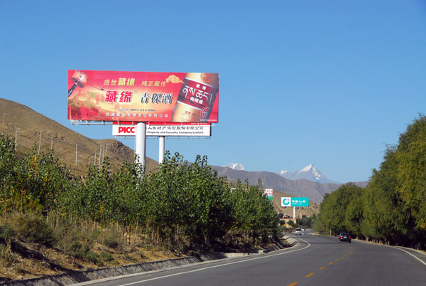
 From here we journey westbound past Everest to Nepal |
 First, we need to backtrack along the Yarlung Tsampo River to Gongkar and Lhasa Airport |
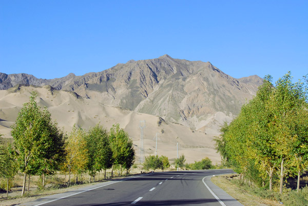
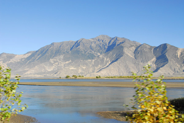
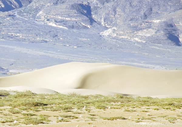 The sand dunes along the south bank of the Yarlung Tsampo River |
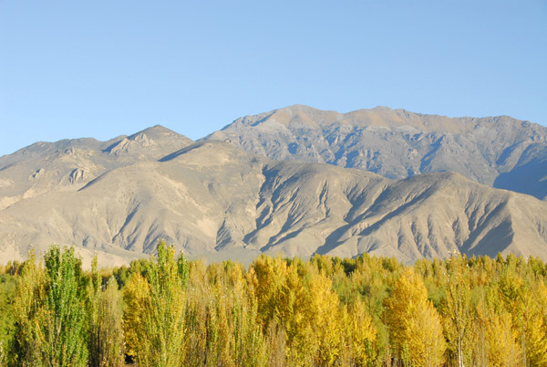
 Autumn colours, Yarlung Tsampo River valley |
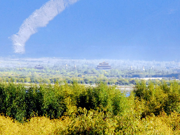 The famous Samye Monastery, the first in Tibet, on the north bank of the Yarlung Tsampo River |
 In October 2008, the monastery was closed to allow for the political re-education of the monks following that year's unrest |
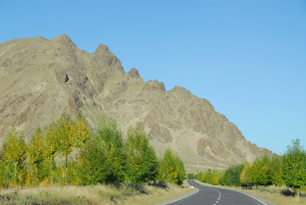
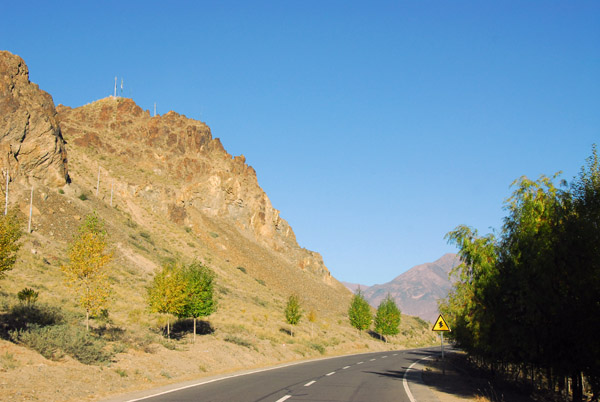 The road from Tsetang to Gongkar |
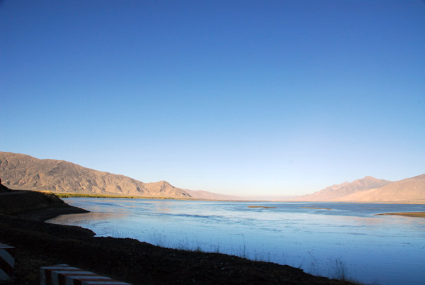
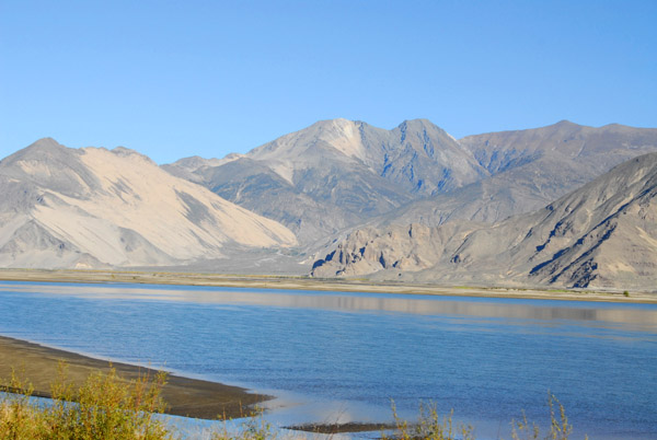
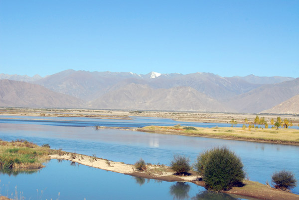
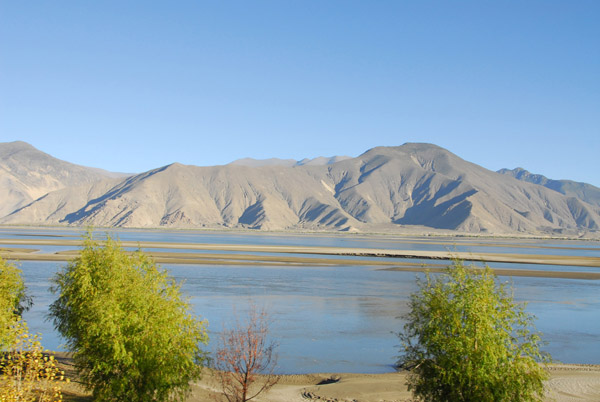 Yarlung Tsampo River |
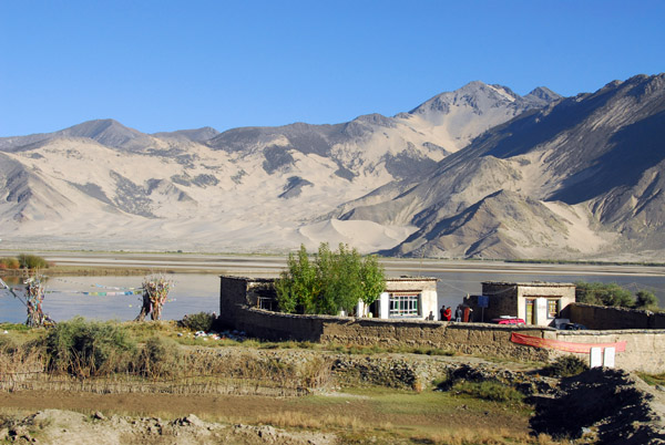
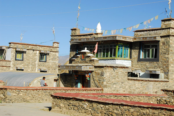
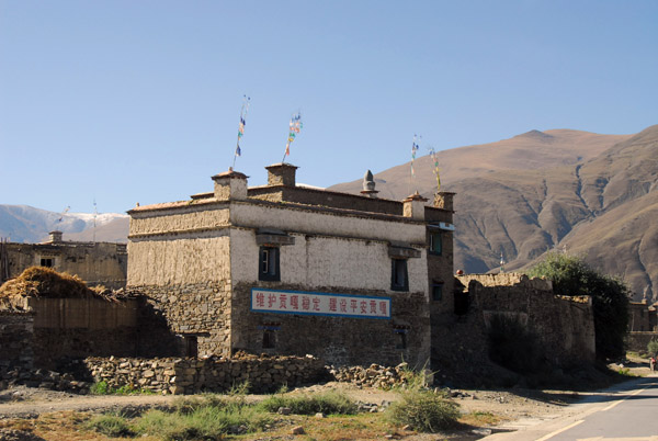
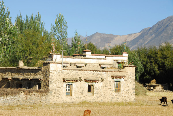 Traditional Tibetan stone house of southern Tibet |
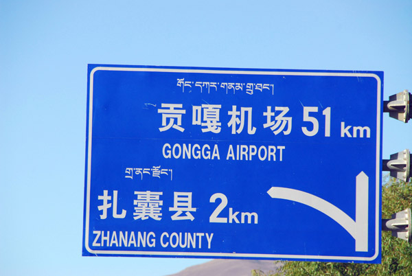 Lhasa Gongga (Gongkar) Airport 51 km |
 Yarlung Tsampo River |
 Yarlung Tsampo River |
 Yarlung Tsampo River valley |
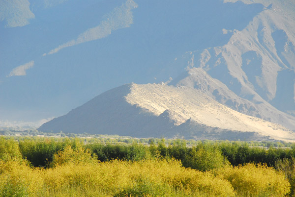
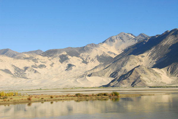 There are sand dunes on the north bank of the Yarlung Tsampo River as well |
 Sturdy Tibetan houses |
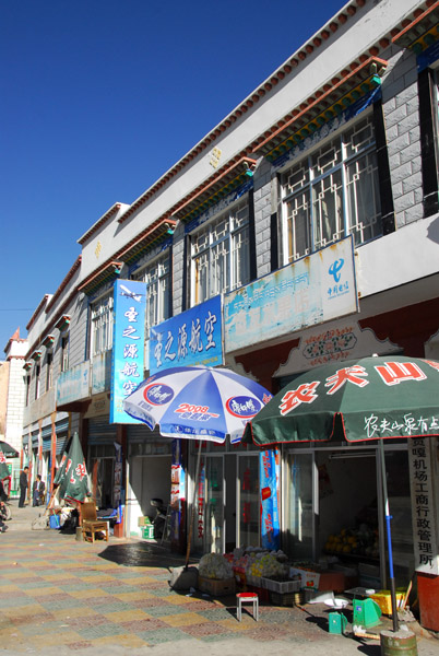
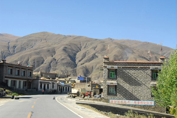
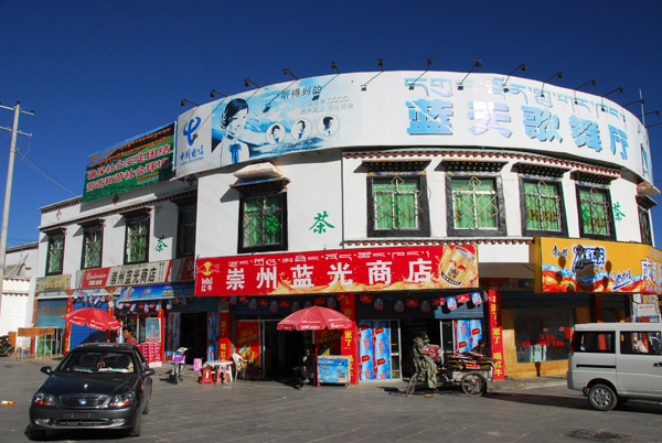 Gongkar, the town next to Lhasa Airport |
 Gongkar, Tibet |
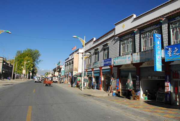 The main road passing through Gongkar |
 Gongkar, Tibet - elevation 3600m |
 The main gate to Lhasa Airport (LXA) |
 The seatbelt-less ancient Land Cruiser meets us at Gongkar for the vehicle swap |
 Unfortunately, we lost the good driver as well |
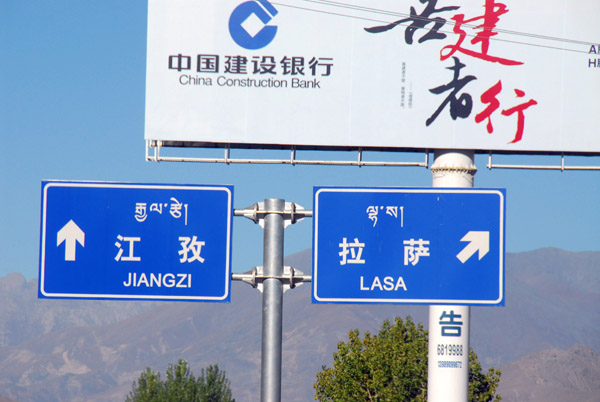 New territory, straight ahead on the road to Gyantse (Jiangzi) |
 The road west continues to follow the south bank of the Yarlung Tsampo River |
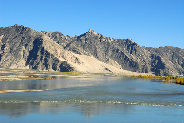 Yarlung Tsampo River |
 Looks like something interesting ahead... |
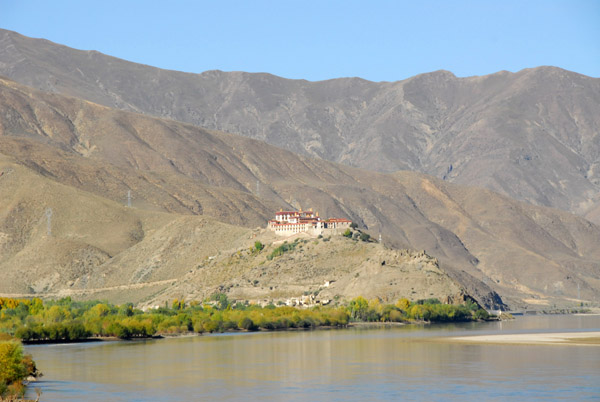
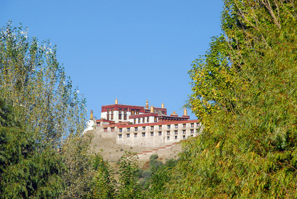 Sundruling Monastery |
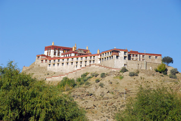 "I'm sorry sir, that's not on the itinerary" ... |
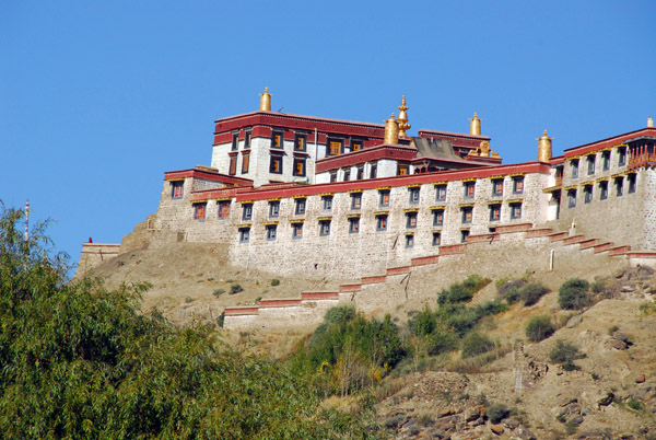 Sundruling Monastery (N29.274/E90.787) |
 At least she let us stop on the side of the road for some photos |
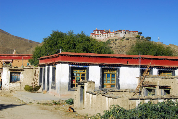
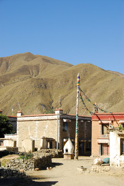 Village below Sundruling Monastery |
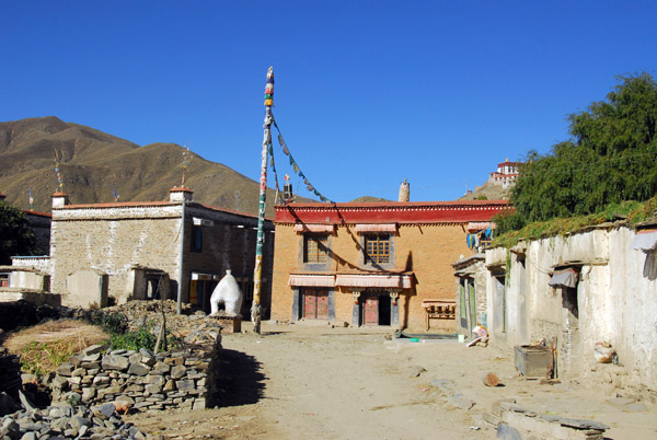 Village below Sundruling Monastery and Gongkhar Dzong |
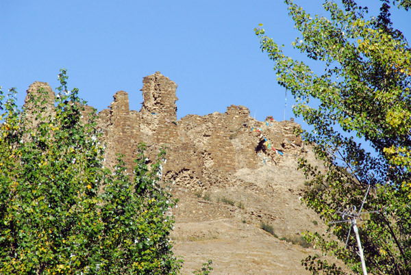 The ruins of Gongkar Dzong |
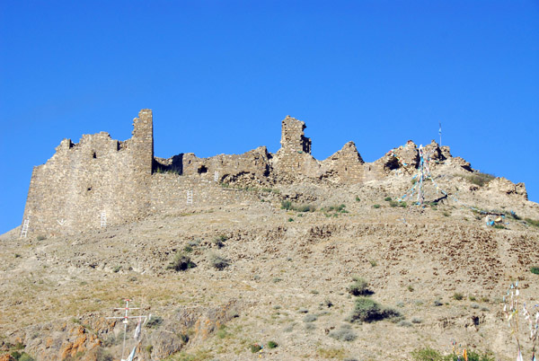 The ruins of Gongkar Dzong |
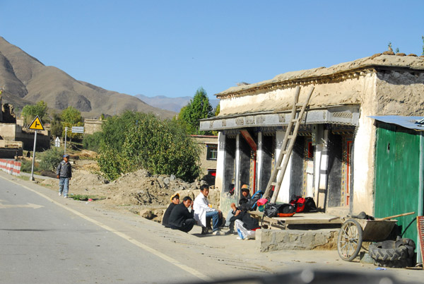
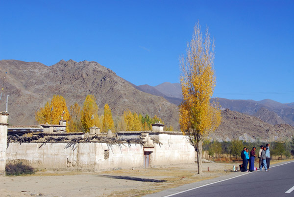 Roadside between Gonkar and the old bridge (N29.297/E90.794) |
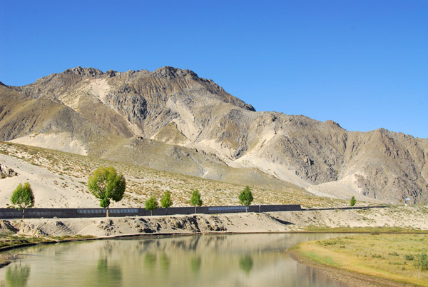
 Stretch of road along the south bank (N29.322/E90.740) |
 At a sharp bend in the road (N29.333/E90.719) |
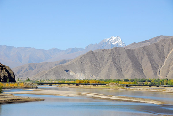 View west with the old bridge across the Yarlung Tsangpo River |
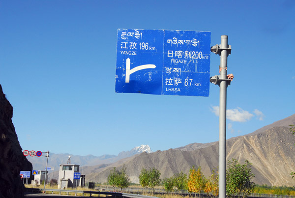 Turnoff for the old bridge - 67km to Lhasa - Yangze, another bad spelling of Gyantse - 196km |
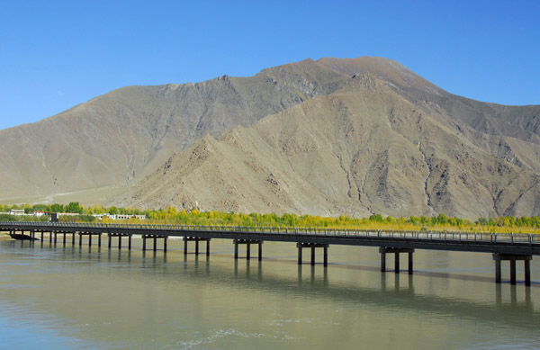 The old Yarlung Tsangpo Bridge |
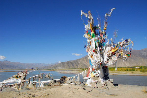 Shrine near the south end of the old Yarlung Tsangpo Bridge |
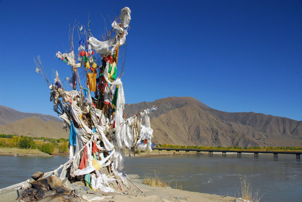 Shrine near the south end of the old Yarlung Tsangpo Bridge |
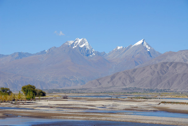
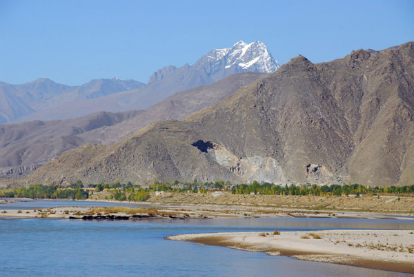 Yarlung Tsangpo Bridge with a snowy Himalayan peak |
 Chang Thang, the first village on the south bank west of the old bridge |
 Chang Thang village (N29.298/E90.689) |
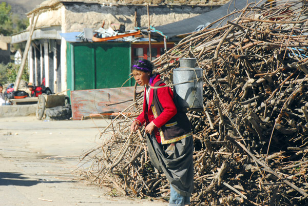 Woman with a large metal jug in front of a stack of uncut firewood |
 Chang Thang village |
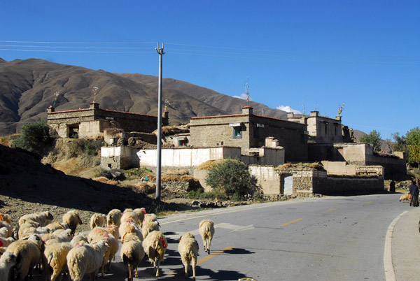 Herd of sheep crossing the road, Chang Thang village |
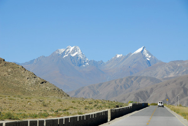 Snow capped mountains - just a taste of what's to come |
 Snow capped mountains - just a taste of what's to come |
| comment | share |