


|
|
|
|
|
|
| Brian McMorrow | profile | all galleries >> Middle East, North Africa & the Caucasus >> Oman عمان >> Mountain routes out of Sohar | tree view | thumbnails | slideshow |
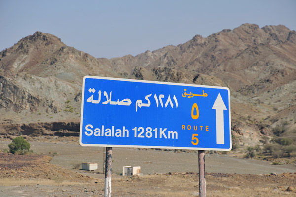 From just past the Hatta borderpost, it's 1281km to Salalah in the far south of Oman |
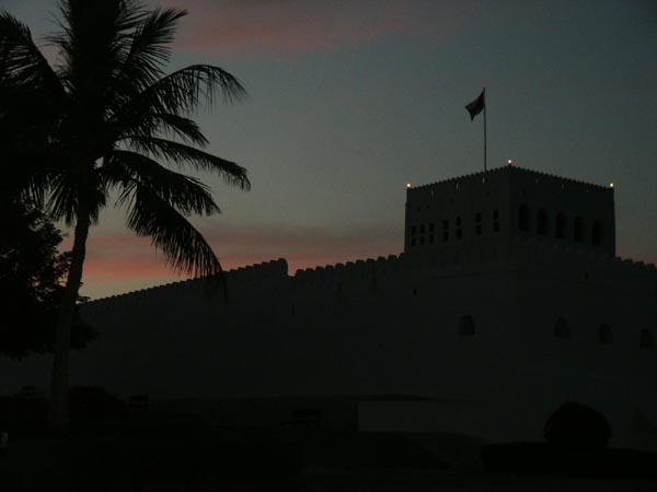 Dusk at Sohar Fort |
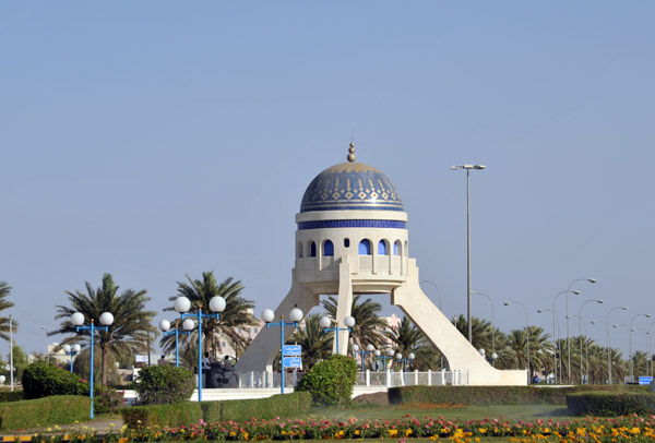 Sallan Roundabout, north coast of Oman near Sohar |
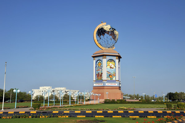 Globe Roundabout - Sohar - turn right (when headed towards Muscat) for Oman Highway 8 |
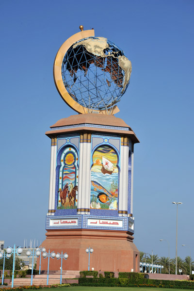 Globe Roundabout, Sohar |
 SharjahOmanMay09 397.jpg |
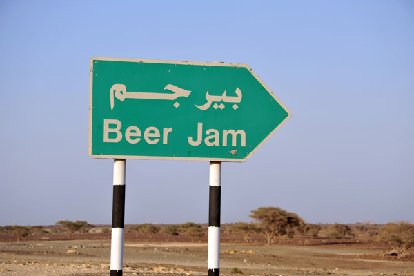 Sounds like my kind of town - Beer Jam, Oman |
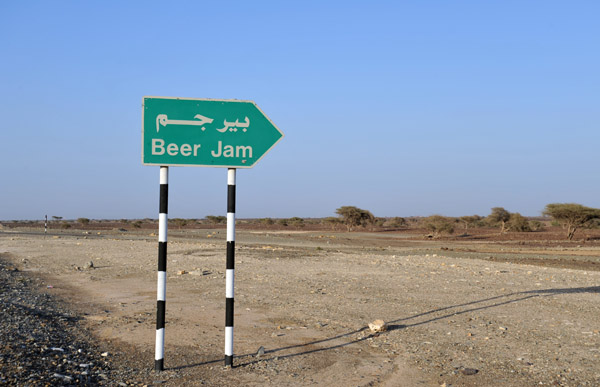 Beer Jam - بير جم |
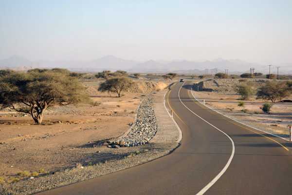
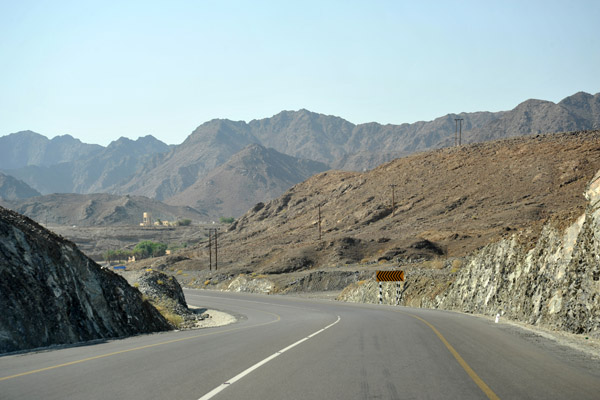
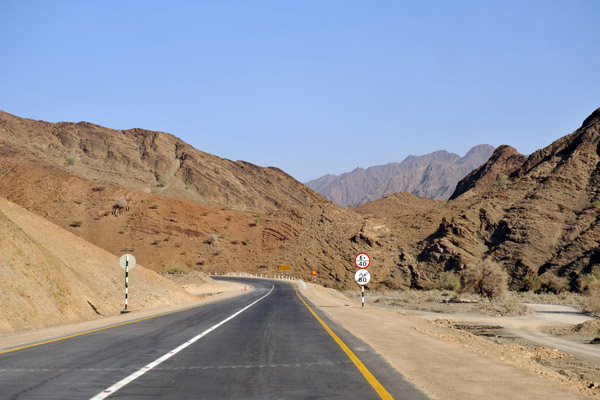
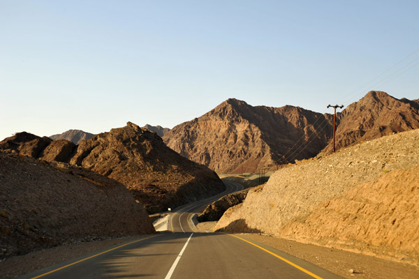
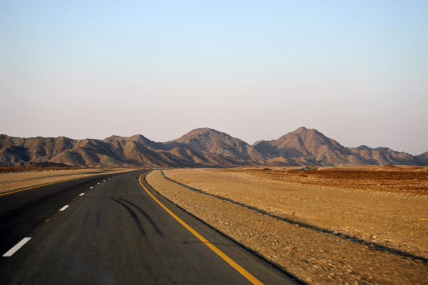
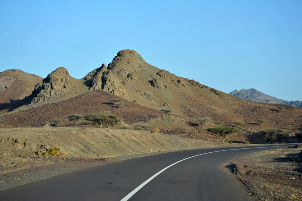 Oman Route 8 from Sohar to Yanqul (and on to Ibri) |
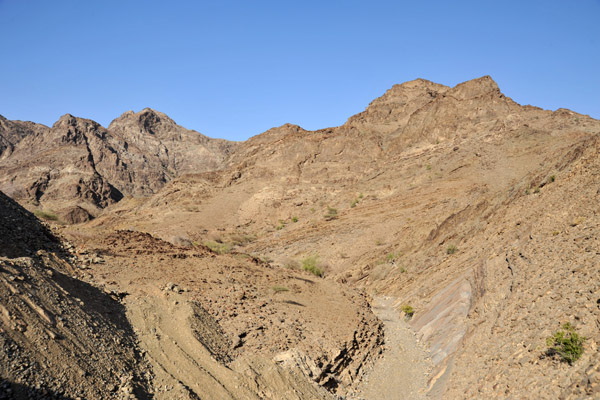
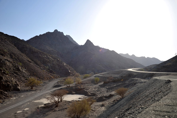
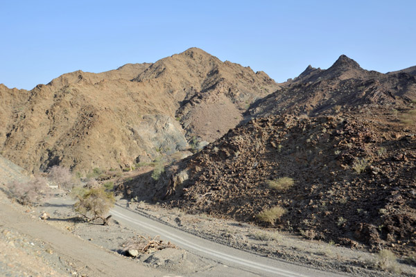
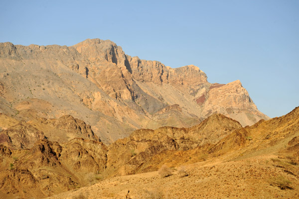
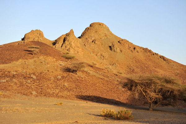 Mountains along Oman Route 8 southwest of Sohar |
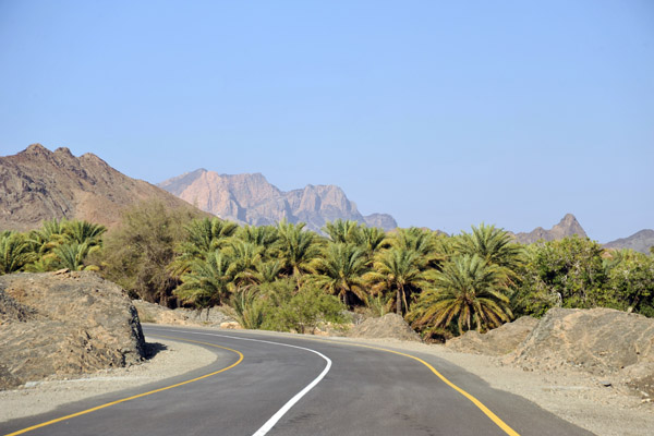
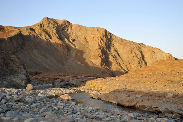 A wadi with water along Oman Route 8 |
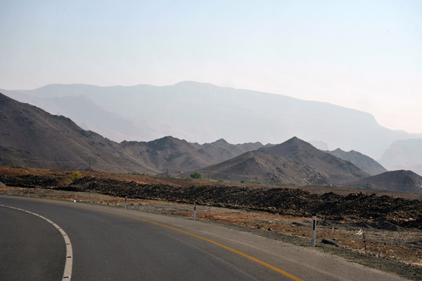
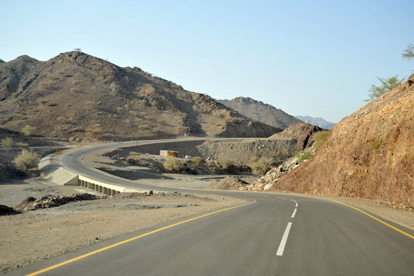
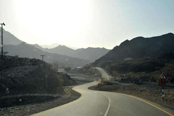
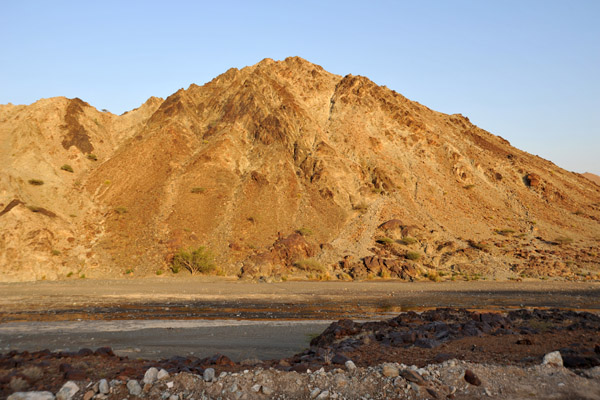 Oman Route 8 southwest of Sohar |
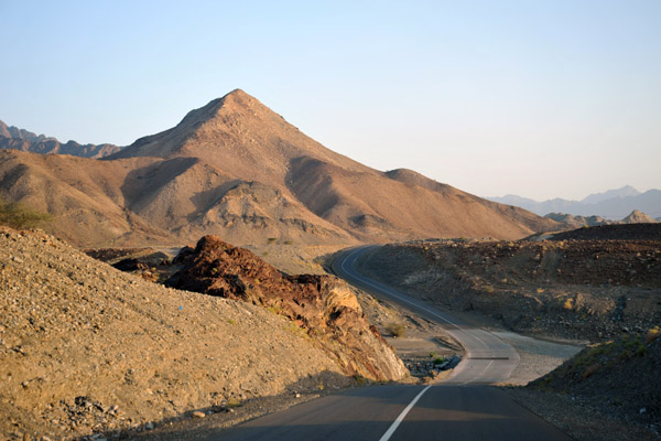 Oman Route 8 - more interesting than the coastal highway |
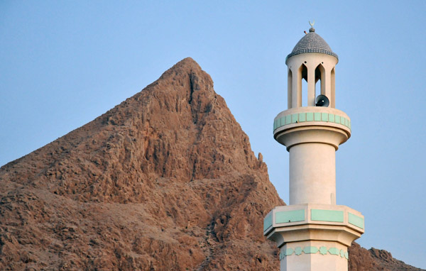
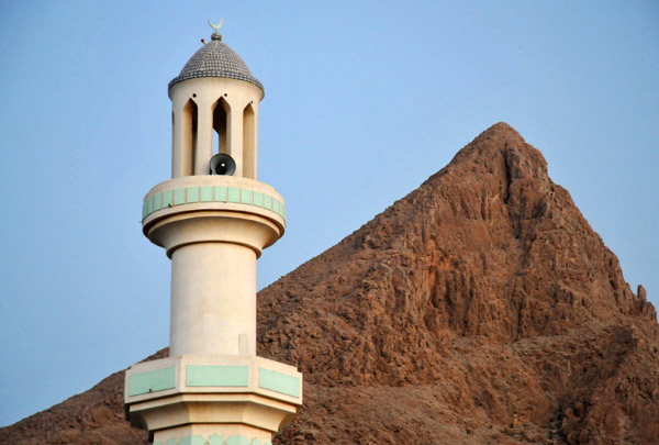
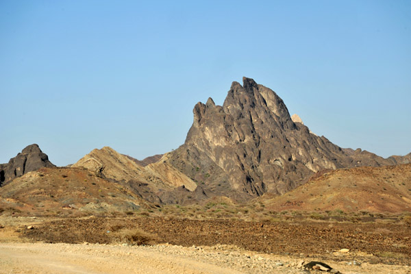
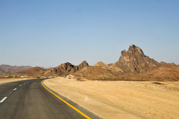
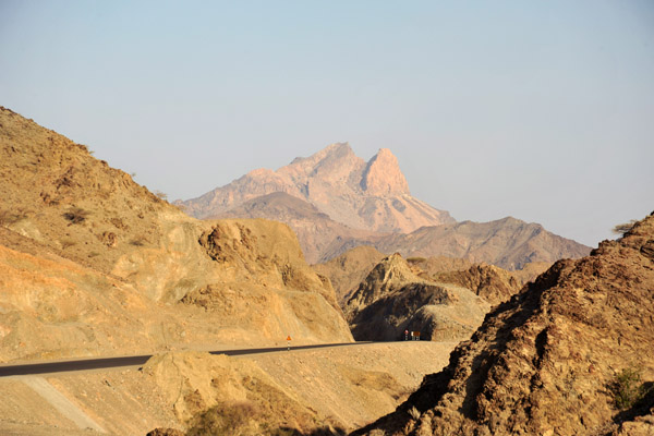
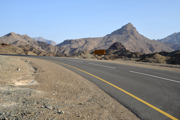
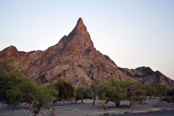 Pinnacle along Oman Route 8 near Al Wuqbah |
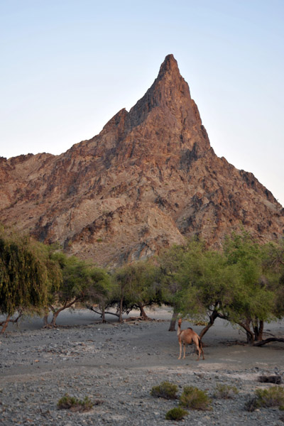 Camel and pinnacle |
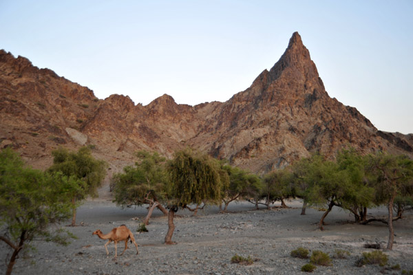 Pinnacle along Oman Route 8 near Al Wuqbah |
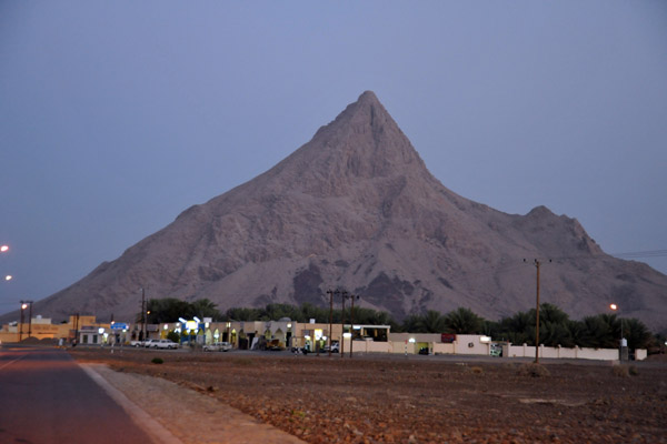 Arriving in Yanqul as dusk falls |
 Yanqul |
 Yanqul |
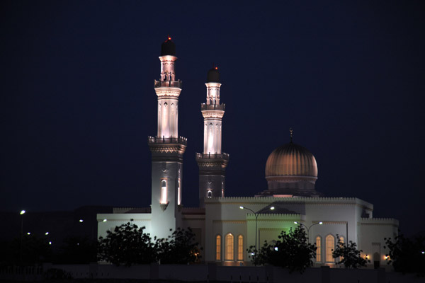 Sultan Qaboos Mosque at night, Yanqul |
 Oman Highway 13 leading west from Rustaq |
 East side of Jabal Shams from Route 13 outside Rustaq |
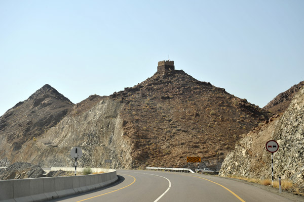 Small watchtower, Oman Route 13 west of Rustaq |
 To avoid the coast road, we left Rustaq heading west on Route 13 looking for Route 9 |
 Again, this section between Rustaq and Ibri on Route 13 is poorly covered in Off-road Oman Explorer |
 Oman Route 13 from Rustaq to Ibri |
 We're looking to get on Off-road Oman Explorers "The Chains" route from the Rustaq-Ibri Road |
 The correct turnoff for The Chains route is at N23 29.862/E056 50.853 |
 Soon, Oman Route 9 will be a nice paved road all the way from the Ibri-Rustaq Road to the Coastal Road just south of Sohar |
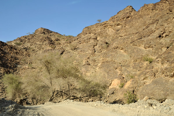
 ...but for now, some of the route is still a rough wadi track |
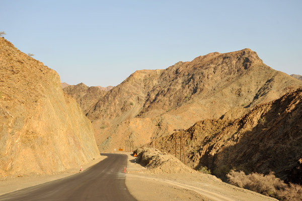
 Newly paved section of Oman Route 9 |
 The new road (Hwy 9) is built above the old route in the wadi |
 The old Off-road track in the wadi and the new Oman Highway 9 |
 The old road, Wadi Hawasinah, Oman |
 Oman Route 9 newly paved |
 Oman Route 9 newly paved |
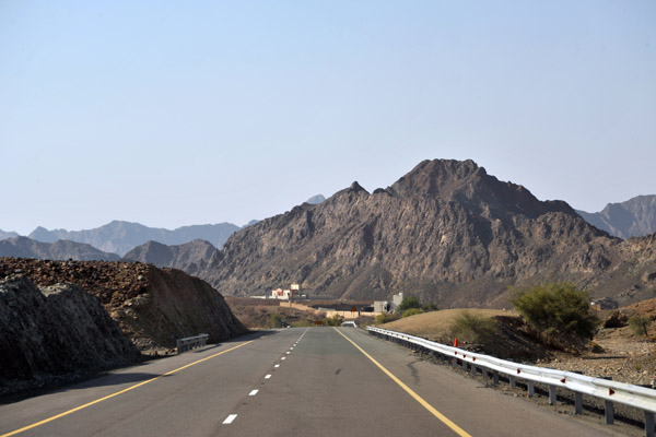
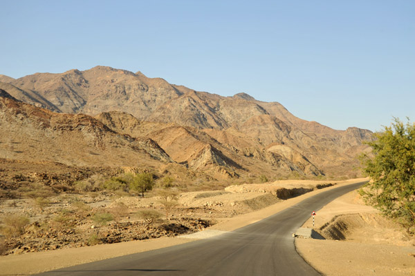
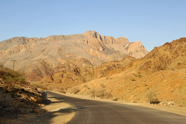
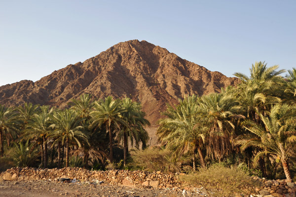
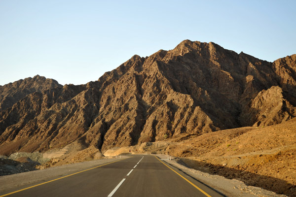
 Mountains along Oman Route 9 |
 Oman Highway 9 |
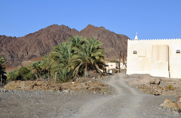
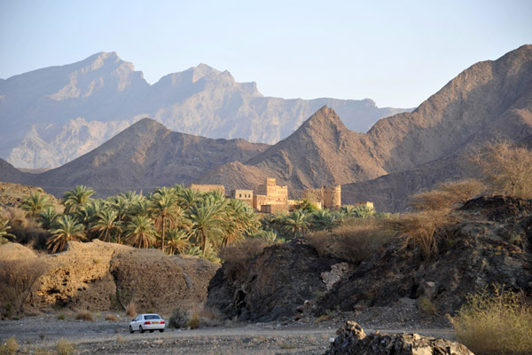
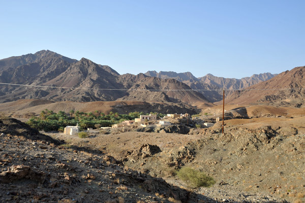 Mijzi, Oman |
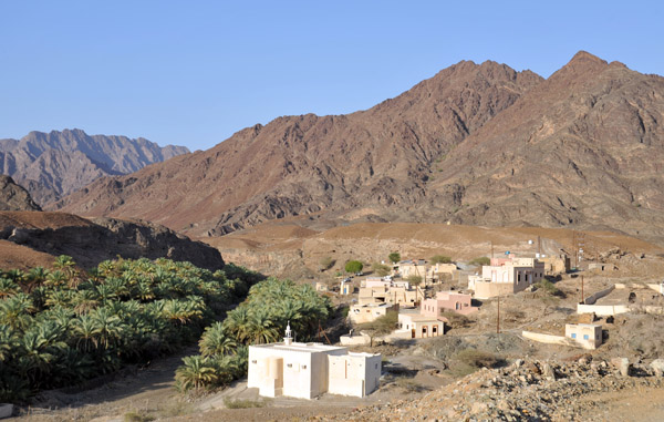 Mijzi, Oman |
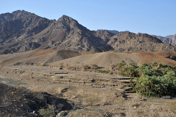 Terraced fields awaiting planting, Mijzi |
 Mijzi (N23 37.616/E056 57.125) |
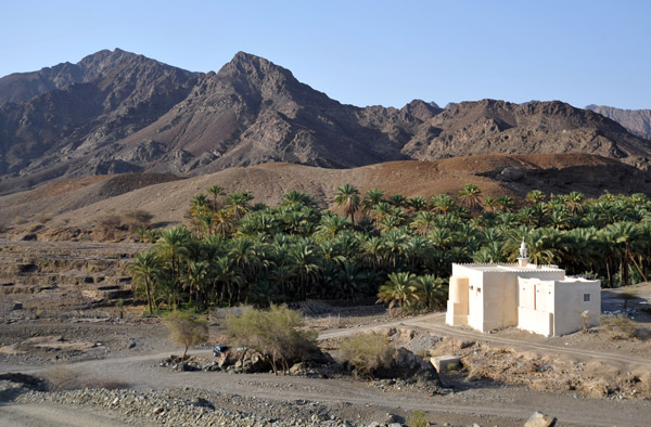 Mijzi, Oman, a small village off Highway 9 |
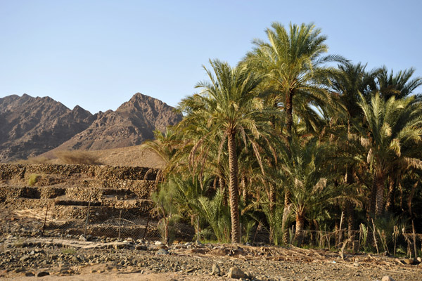 Date palms, Mijzi |
 مجزي عمان |
 Oman Highway 9 |
 Oman Highway 9 |
 SharjahOmanMay09 1980.jpg |
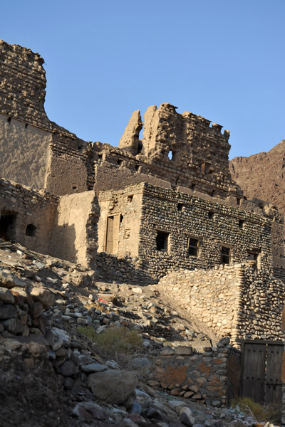
 Ruins of a large house, Wadi Hawasinah |
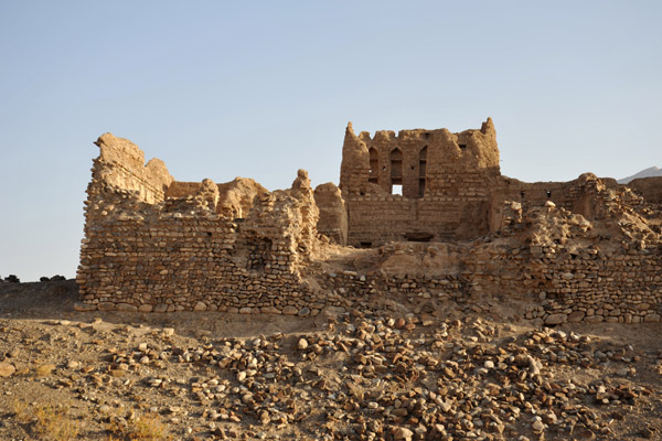 Ruins of a large house, Wadi Hawasinah |
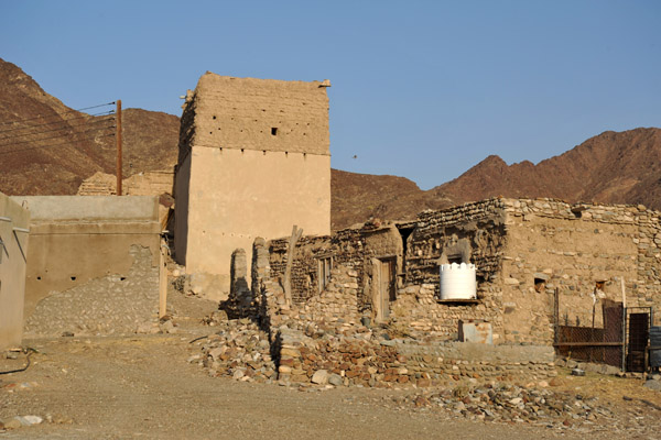 Village along Highway 9, Wadi Hawasinah |
 Ruins with a tower, Wadi Hawasinah |
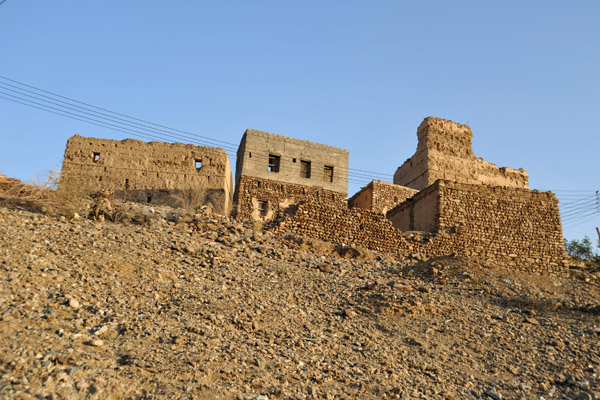
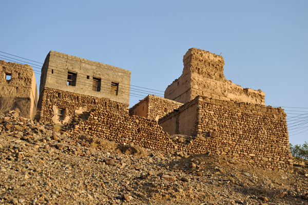
 Partially ruined village, Wadi Hawasinah |
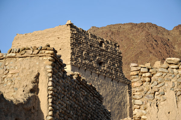 Partially ruined village, Wadi Hawasinah |
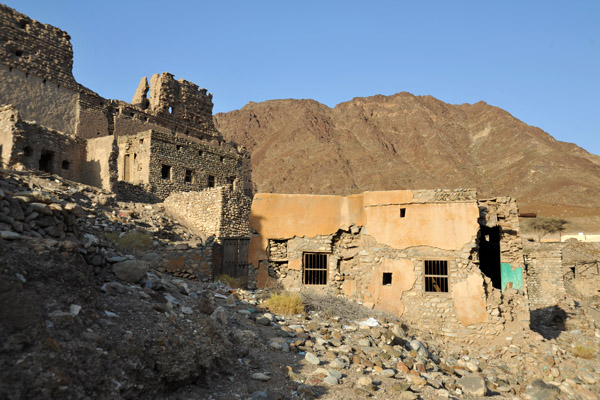 Partially ruined village, Wadi Hawasinah |
 Ruins, Wadi Hawasinah |
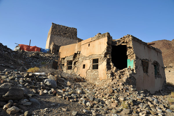 Village ruins, Wadi Hawasinah |
 Driving along Wadi Hawasinah (near the hospital) |
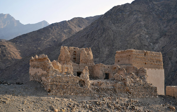
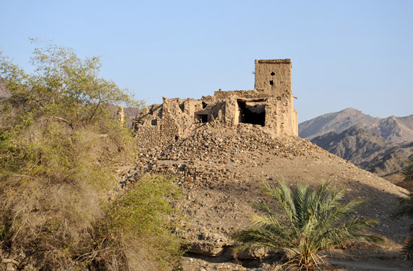
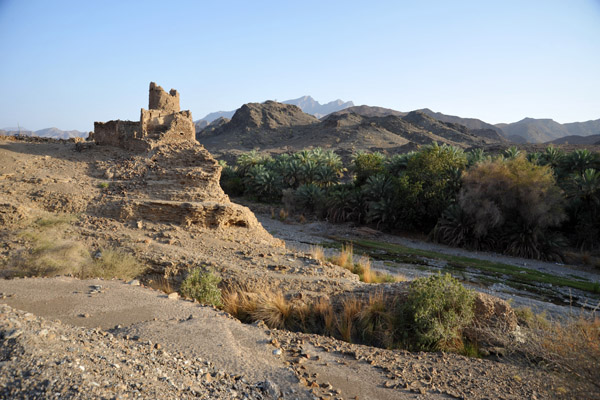
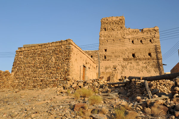
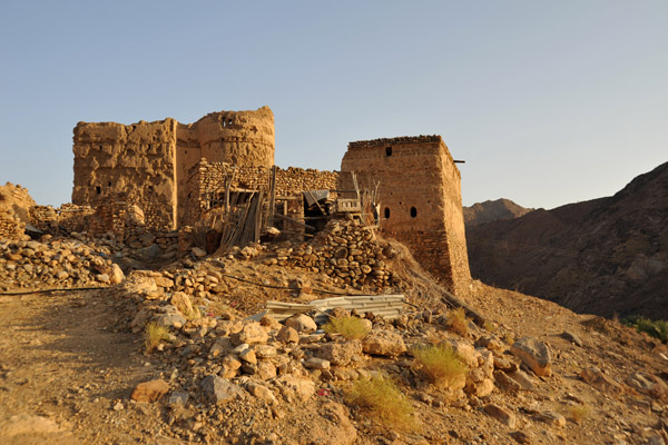
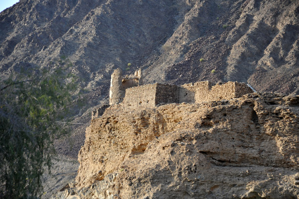 Ruins of a fort above Wadi Hawasinah (near the hospital) |
 Ruins of a fort above Wadi Hawasinah (near the hospital) |
 Ruins of a fort (N23 41.531/E56 55.086) |
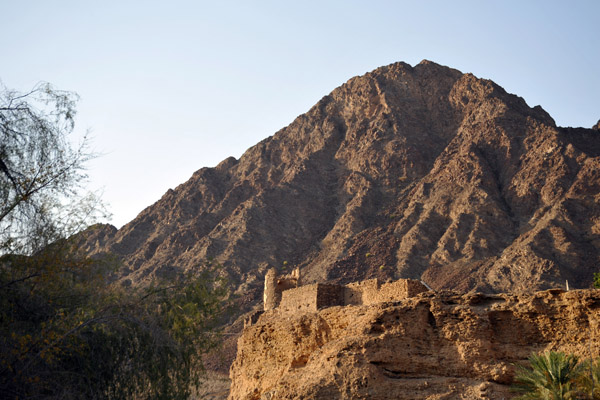
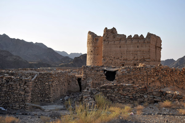
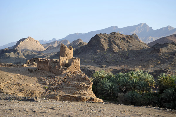 Ruined fort, Wadi Hawasinah |
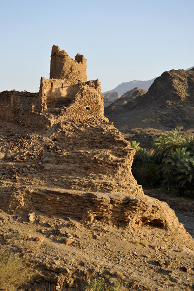 Ruined fort, Wadi Hawasinah |
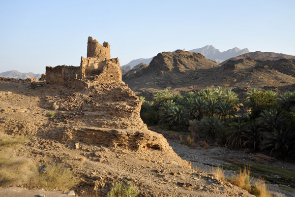 Ruined fort, Wadi Hawasinah |
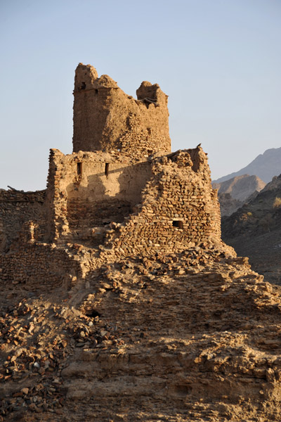 Ruined fort, Wadi Hawasinah |
 Ruined fort, Wadi Hawasinah |
 More ruins, Wadi Hawasinah |
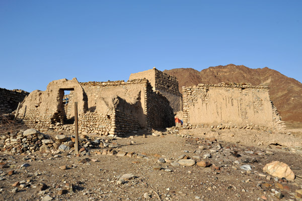
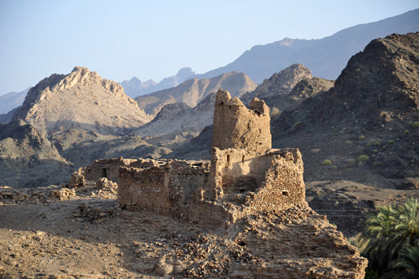
 Ruins of a village (N23 42.217/E056 54.487) |
 Village ruins, Wadi Hawasinah |
 Village ruins, Wadi Hawasinah |
 Ruins, Wadi Hawasinah, Oman Highway 9 |
 Oman Highway 9 |
 Looking back at the previous set of ruins |
 Oman Highway 9 reaches the coastal highway 58km south of Sohar's Globe Roundabout |
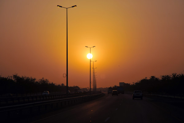 Oman coastal highway at sunset near Sohar |
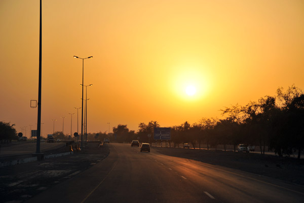 Oman coastal highway at sunset near Sohar |
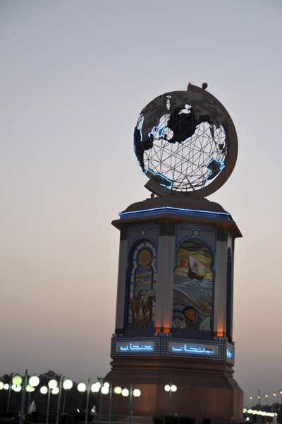 Sohar Globe Roundabout |
| comment | share |