


|
|
|
|
|
|
| Brian McMorrow | profile | all galleries >> Europe >> Iceland >> Skaftafell National Park | tree view | thumbnails | slideshow |
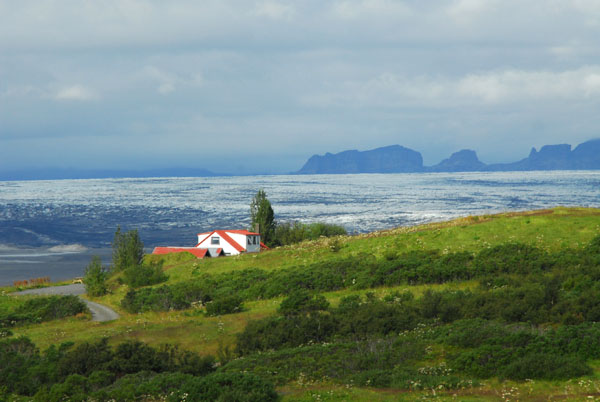
 Skaftafell National Park is located on the SE corner of Iceland |
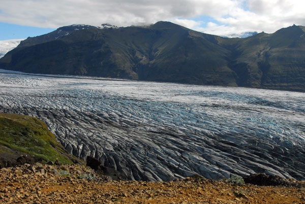
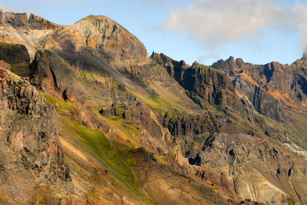
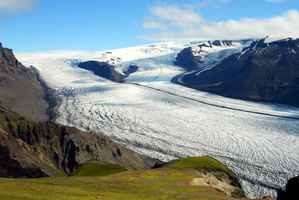
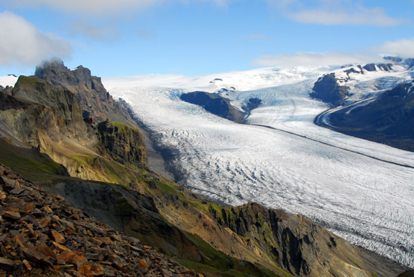
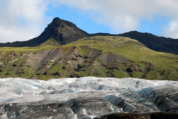
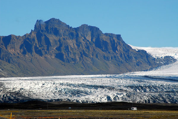 Skarđatindur (1365m), Skaftafell glacier |
 Skaftafell National Park, Iceland |
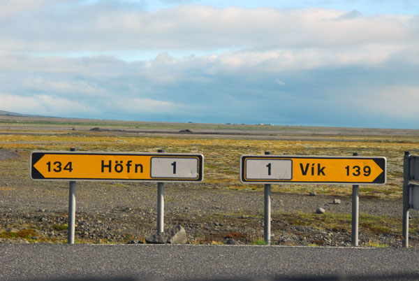 Skaftafell is about half-way between Höfn and Vík |
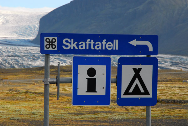
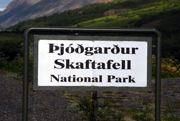 Ţjóđgarđur Skaftafell |
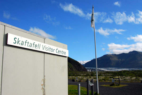 Skaftafell National Park Visitor's Center |
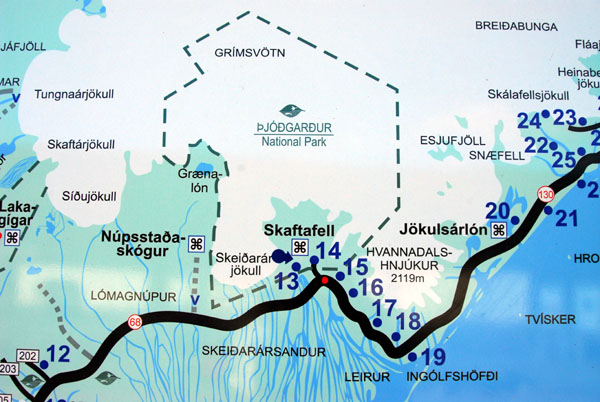 Map of Skaftafell National Park |
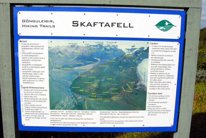 Overview of Skaftafell at the visitor's center |
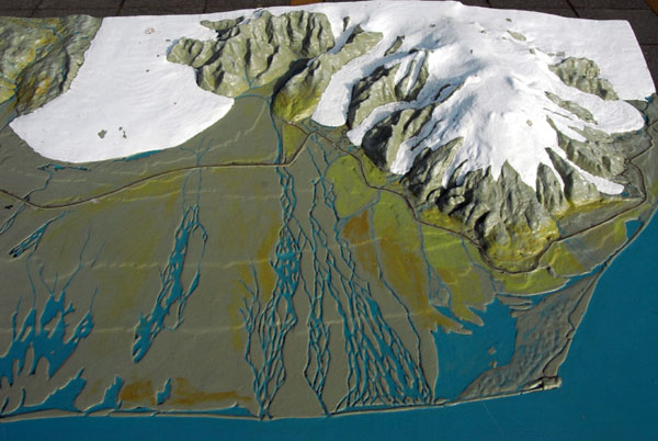 Relief model of Skaftafell and the Sandur |
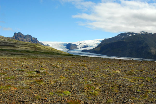
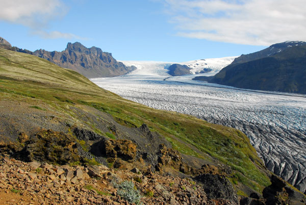
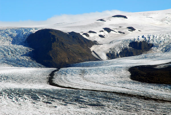
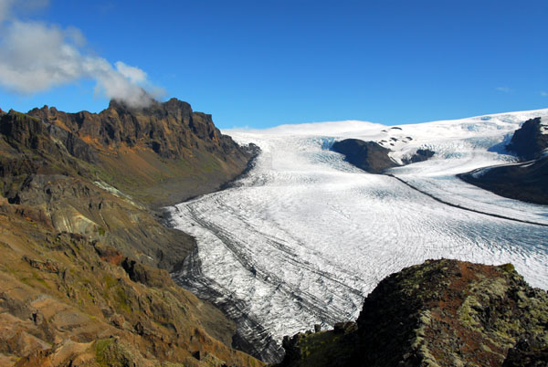
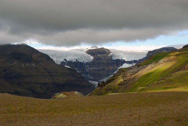
 Looking west to Skeiđarárjökull |
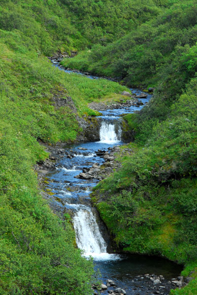
 The stream along the start of the Skaftafellsheiđi loop trail has lots of small waterfalls |
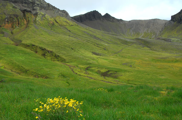
 Skaftafell National Park |
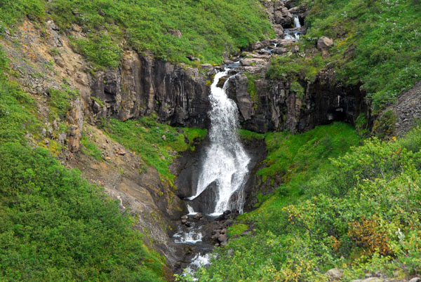 Skaftafell National Park small waterfall |
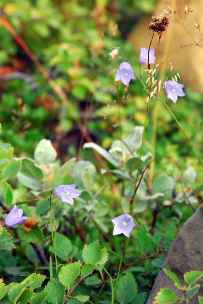 Harebell Flower |
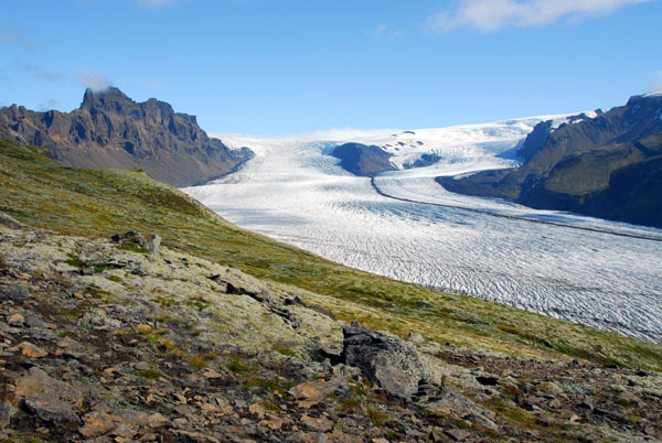
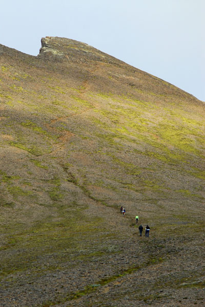
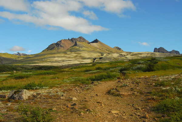 Kristínartindar (1126m) the destination of my 6 hour hike |
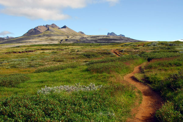 The lower part of the Skaftafellsheiđi loop to Kristínartindar is a gentle climb |
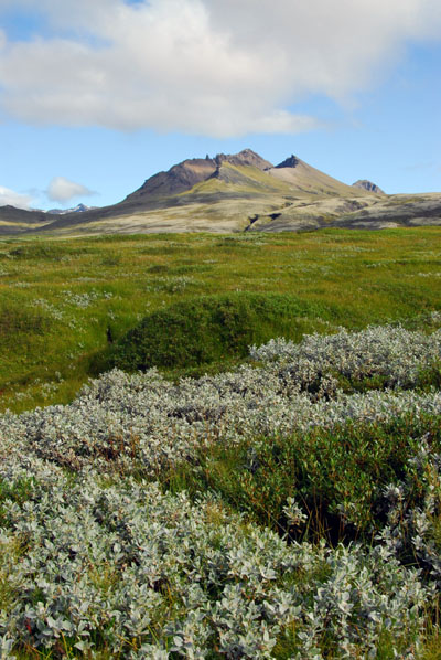 Kristínartindar |
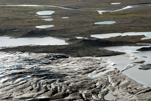
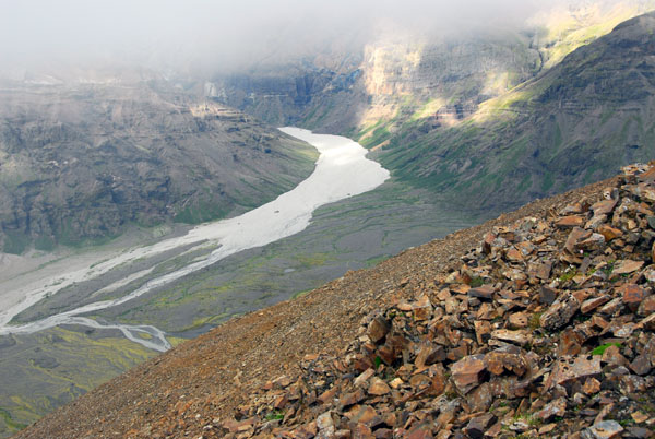
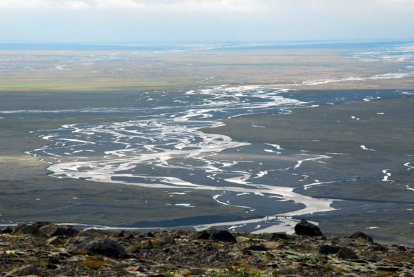 View of the glacial runoff channels crossing the Sandur to the sea |
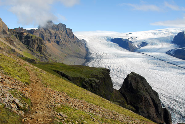
 The Skaftafell glacier comes into view about 40 minutes into the hike |
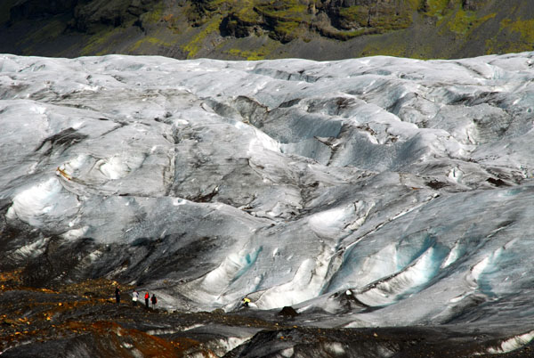
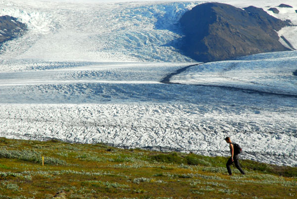 Hiker with the Skaftafellsjökull, a small glacier descending from the massive Vatnajökull Icecap |
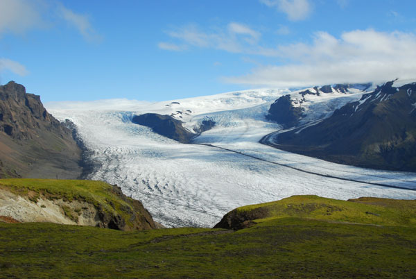
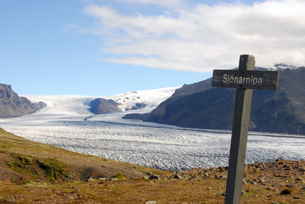 Sjónarnípa viewpoint, Skaftafell National Park |
 Sjónarnípa viewpoint |
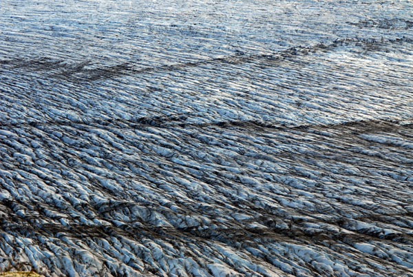
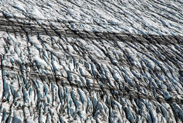
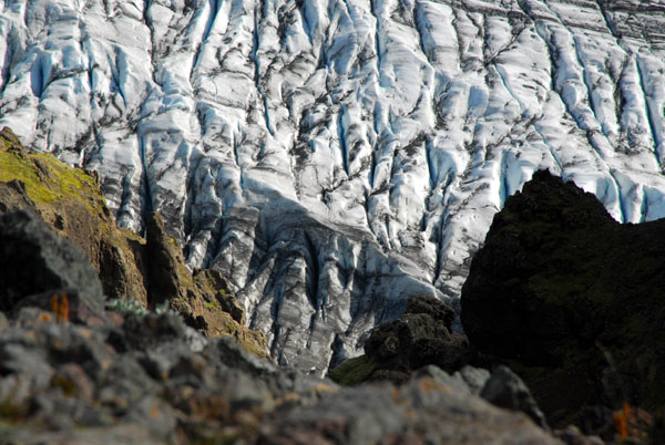
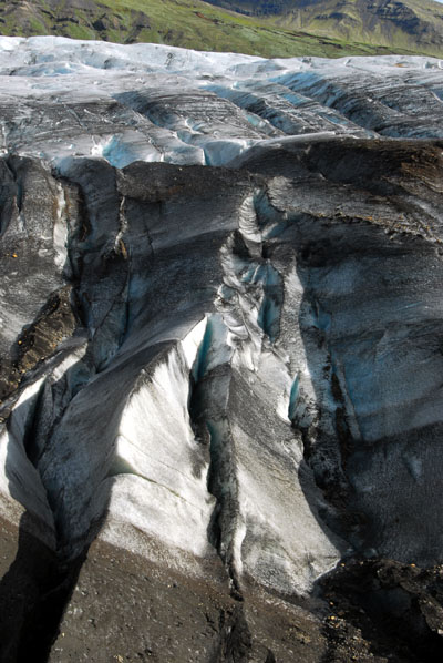
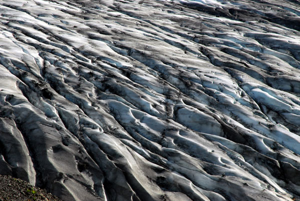 Detail of the crevasses of the Skaftafellsjökull |
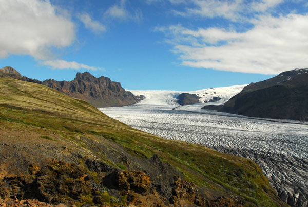
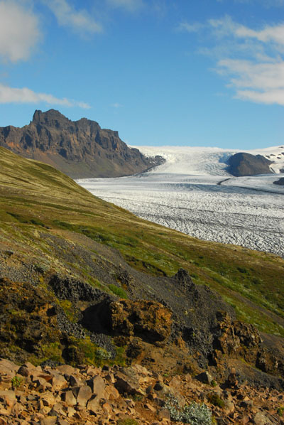
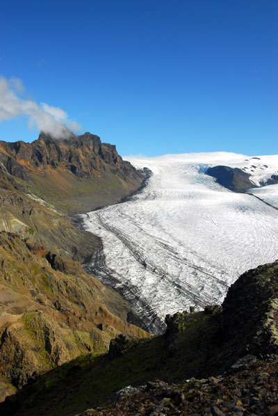
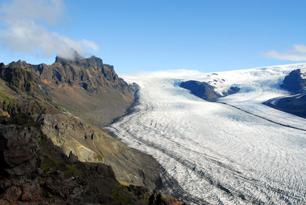
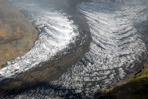
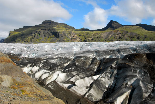
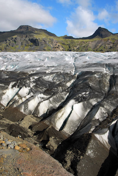
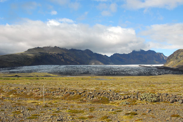
 Skaftafell glacier (Skaftafellsjökull) |
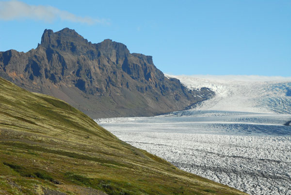 Skarđatindur (1365m), the highest point in Skaftafell National Park |
 Skaftafell glacier (Skaftafellsjökull) |
 Skaftafell glacier (Skaftafellsjökull) |
 Ţjóđgarđur Skaftafell |
 Skaftafell National Park |
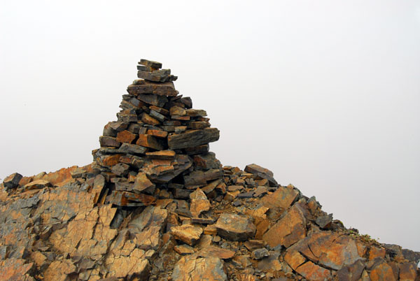
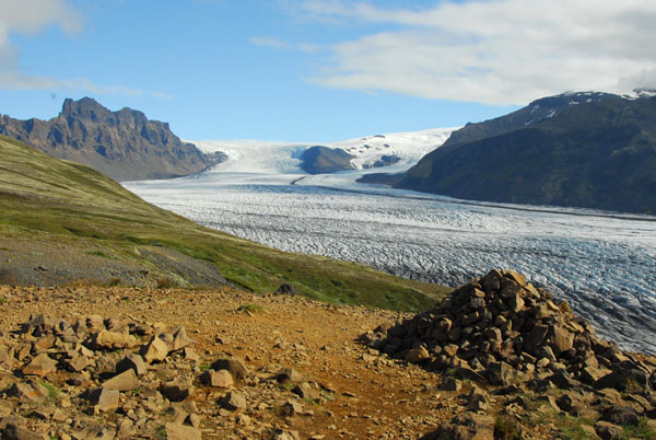 Stone cairn along the Skaftafellsheiđi loop hiking trail, Skaftafell Nationanl Park |
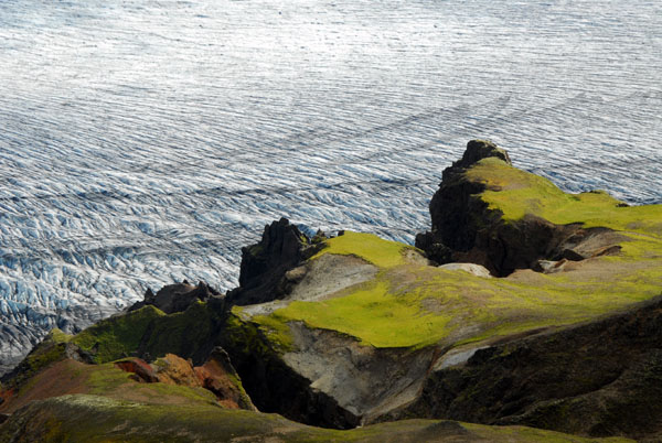
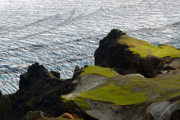
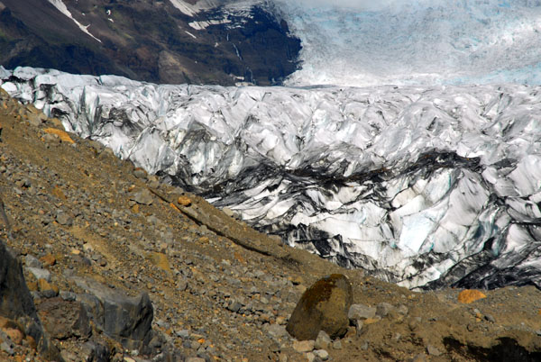
 Looking down on the glacier |
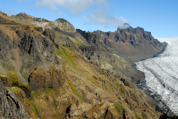
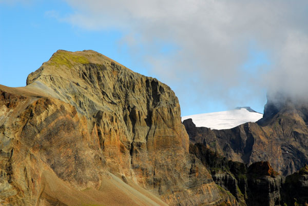
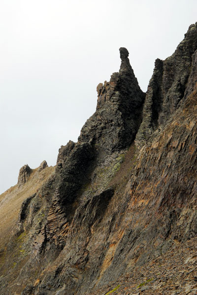
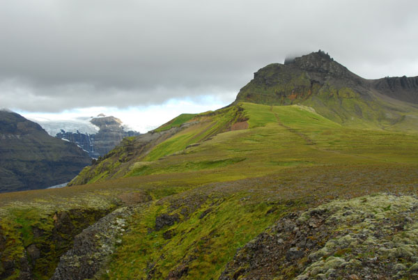
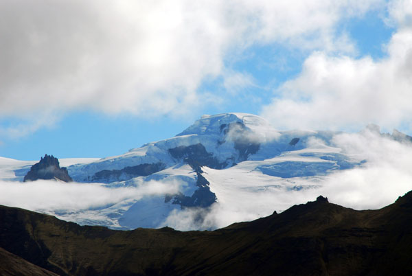 A high peak east of the national park |
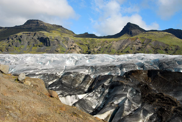
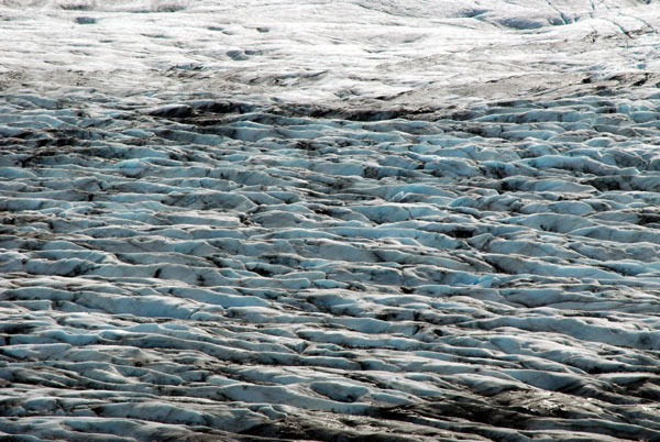 Skaftafell glacier's blueish ice |
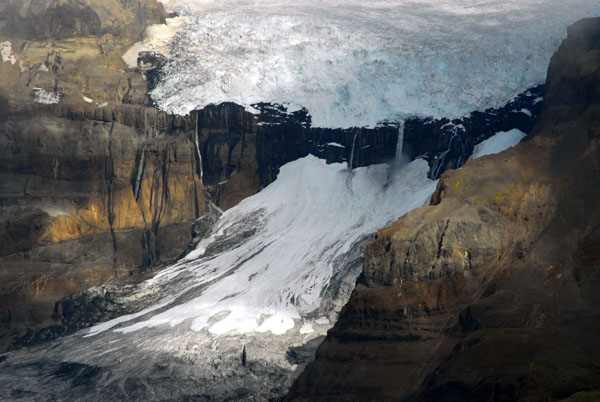
 The foot of the Skaftafell glacier |
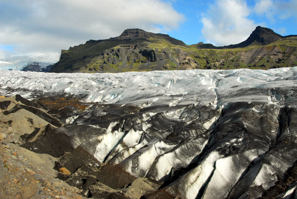
 Skaftafell glacier (Skaftafellsjökull) |
 Skaftafellsheiđi loop |
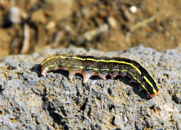 Caterpillar, Iceland |
 Skaftafell National Park |
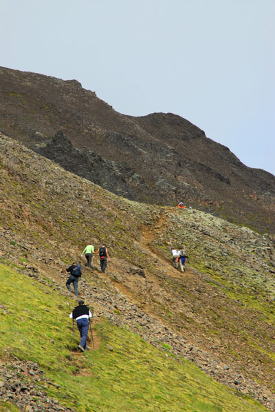
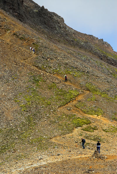
 The higher part of the trail gets more difficult |
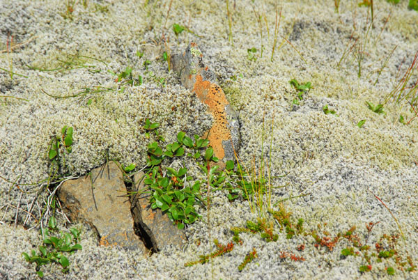 Alpine lichens and mosses |
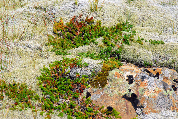 Plants at the upper levels of Skaftafell National Park |
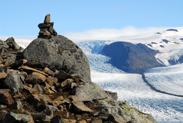 Stone marker at an upper viewpoint overlooking the Skaftafell glacier |
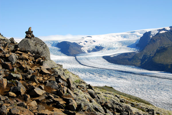 Stone marker at an upper viewpoint overlooking the Skaftafell glacier |
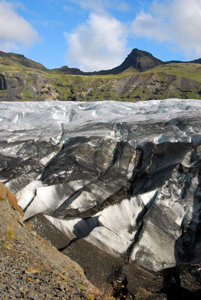
 Skaftafell glacier (Skaftafellsjökull) |
 Skaftafell glacier (Skaftafellsjökull) |
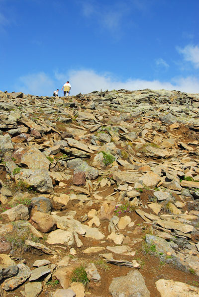
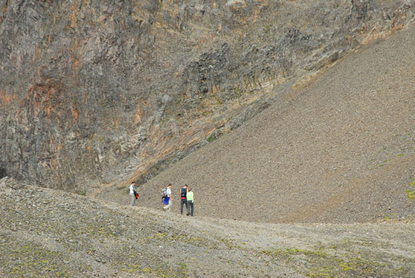
 As the trail climbs, the terrain gets more rugged |
 Skaftafell National Park |
 Skaftafell National Park |
 Skaftafell National Park |
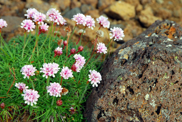 Moss Campion flowers, Iceland |
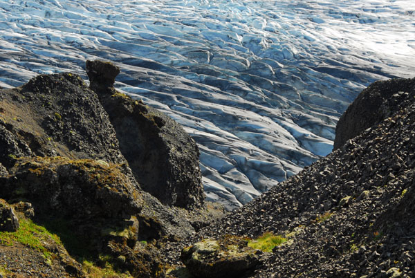
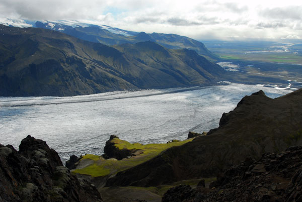
 Looking over a cliff at the Skaftafell glacier |
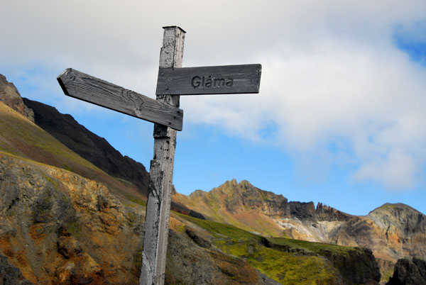 Gláma Overlook |
 IcelandAug06 1375.jpg |
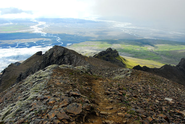
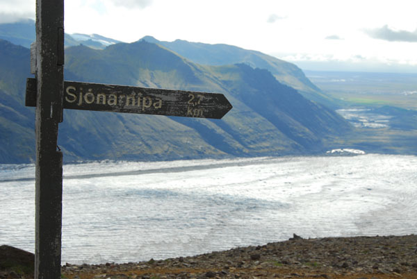 From this point it's 2.7 km back to Sjónarnípa |
 From Gláma the trail gets steep |
 Upper levels of the Skaftafellsheiđi loop to Kristínartindar |
 Skaftafell National Park |
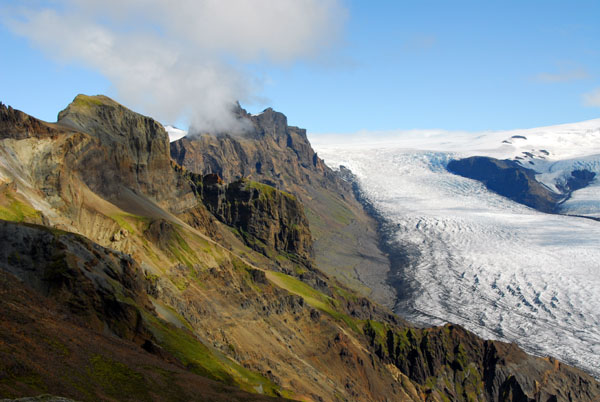
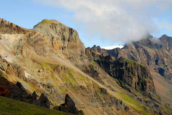 High peaks of Skaftafell National Park |
 An easier loop than this connects to the return trail from Gláma |
 Skaftafell National Park |
 Skaftafell National Park |
 Skaftafell National Park |
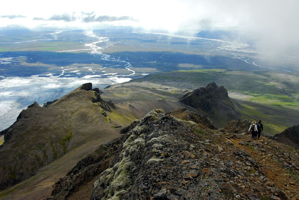
 Hikers at the junction at the top of the Skaftafellsheiđi loop - from here there's a spur trail to the summit of Kristinartindar |
 Looking down on the summit of the Nyrđrihnaukur (706m) - the return loop trail is along the ridge to the right |
 The final 30 minute ascent to Kristínartindar's summit (1126m) |
 Among the peaks |
 Nearing the top |
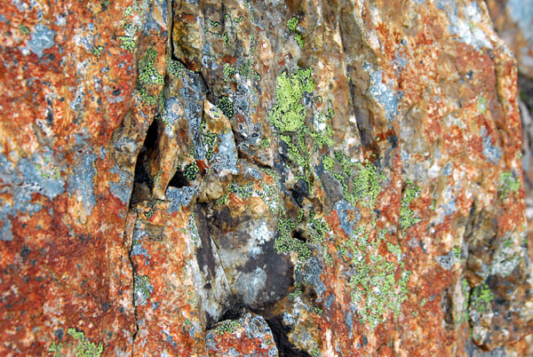 Lichens, Iceland |
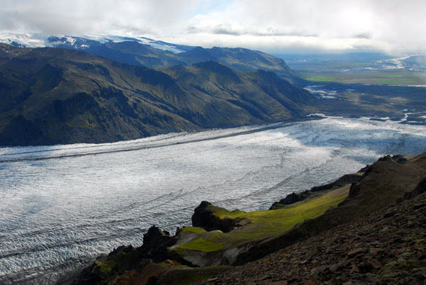
 Skaftafell glacier |
 Looking back down at the Glamá overlook point |
 Kristianartindur |
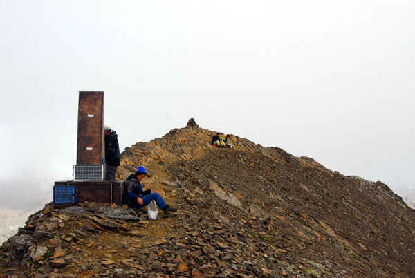 Summit of Kristínartindar (1126m) Skaftafell National Park |
 View of Skaftafellsjökull from summit of Kristínartindar |
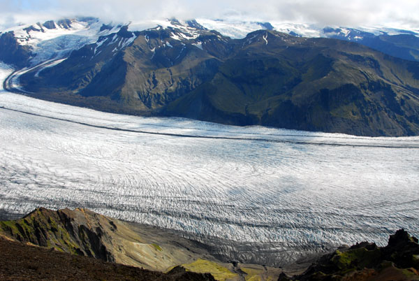 View of Skaftafellsjökull from summit of Kristínartindar |
 Stone cairn at the summit of Kristínartindar (1126m) |
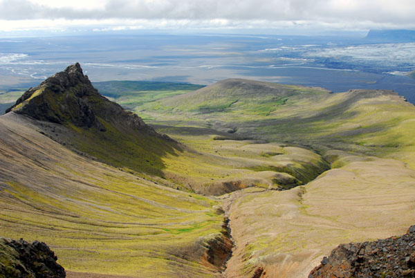
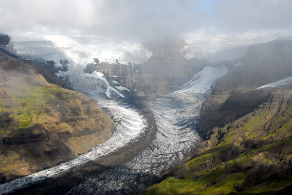
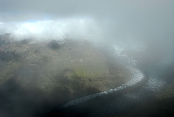 The Morsárdalur through the clouds |
 Glama point, Skaftafell |
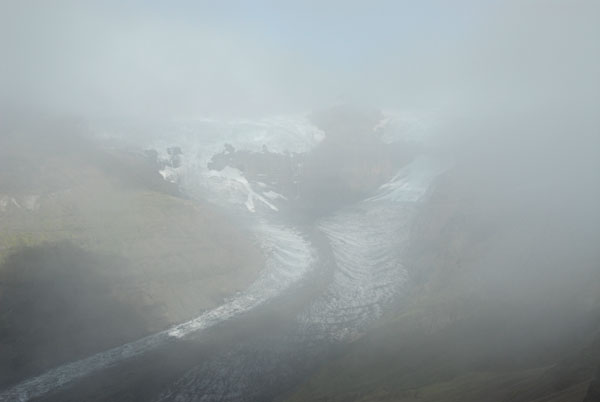 The summit was in and out of clouds obscuring the view of Morsar glacier |
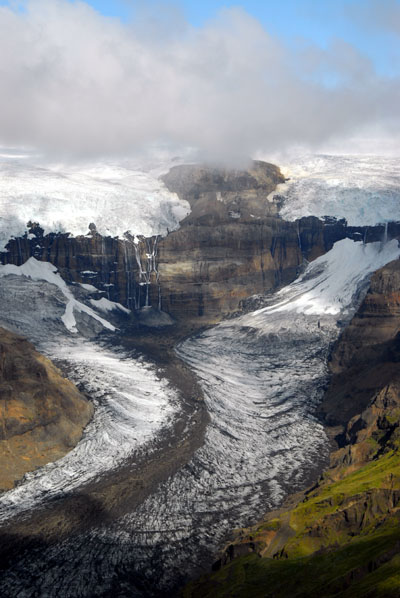
 Morsárjökull glacier |
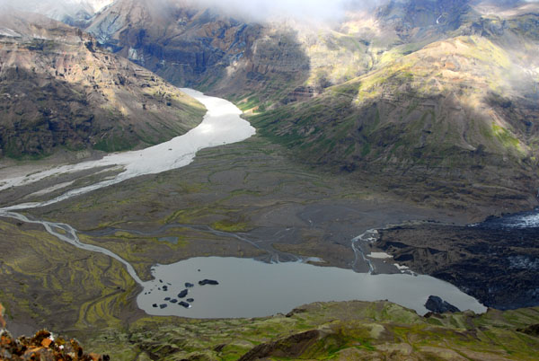 Glacial lake at the base of Morsárjökull |
 Morsárjökull |
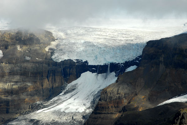
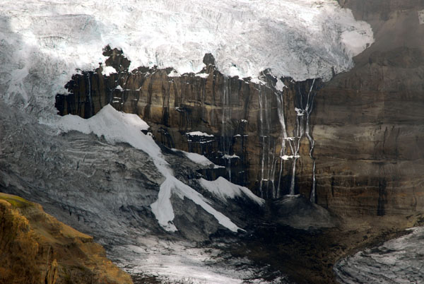 Morsárjökull flows over a cliff |
 Morsárjökull |
 Morsárjökull from the summit of Kristinartindar |
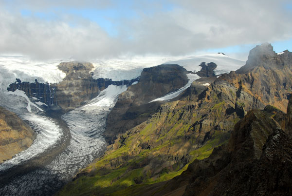 Morsárjökull from the summit of Kristinartindar |
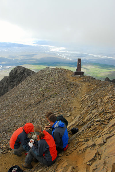 Hikers at the summit of Kristínartindar |
 Morsárjökull, Skaftafell National Park |
 Heading down the trail from the summit |
 Morsárdalur valley |
 Back on the Skaftafellsheiđi loop trail (counterclockwise) |
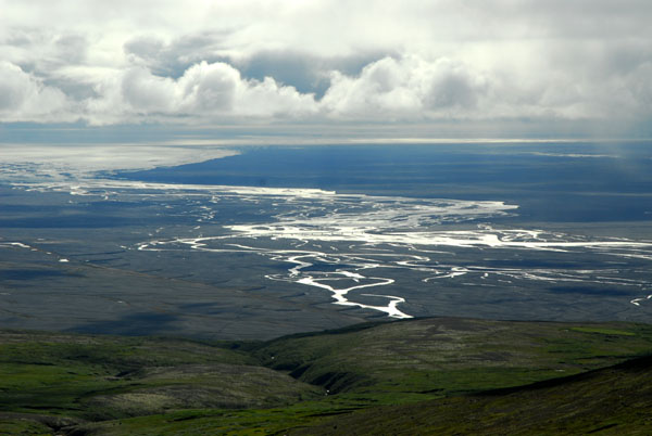 Sandur |
 The clouds scraping the summit of Kristinartindar |
 Morsárjökull from the return loop of the Skaftafellsheiđi trail |
 Skaftafellsheiđi |
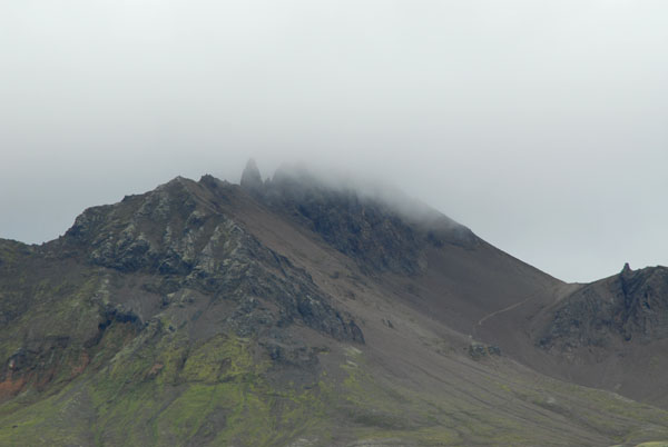 Summit of Kristinartindar in the clouds |
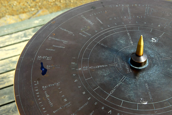 Trail marker/sundial |
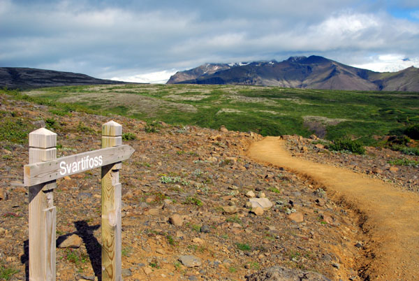 Return trail via Svartfoss |
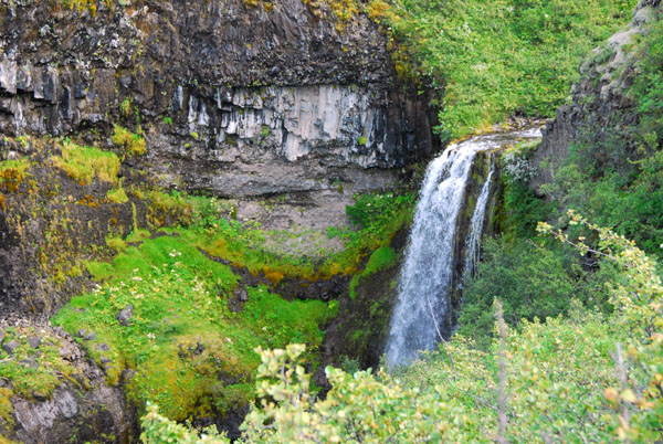
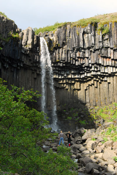 Svartfoss (Black falls) |
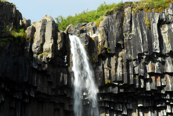 Svartfoss flowing over volcanic basalt cliffs, Skaftafell National Park |
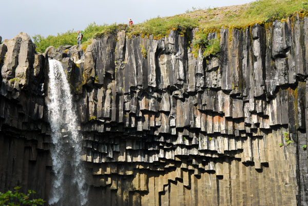 Svartfoss flowing over volcanic basalt cliffs, Skaftafell National Park |
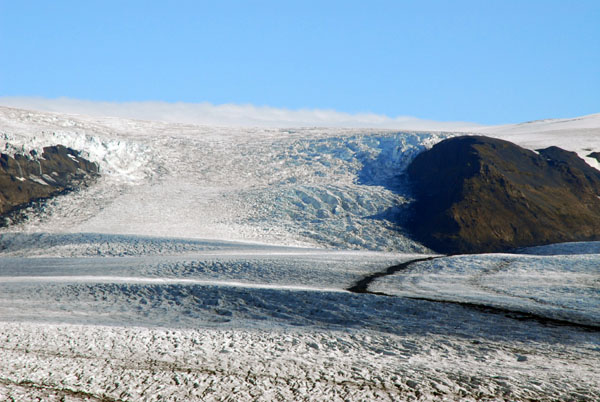
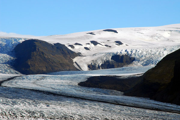
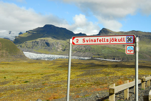 The next valley east of Skaftafell, the Svínafellsjökull |
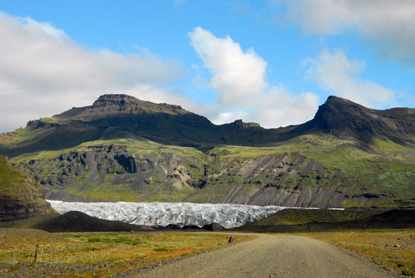 Svínafellsjökull is very easily accessible |
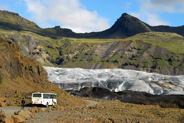 Svínafellsjökull has guided glacier hikes with crampons and ice axes |
 Svínafellsjökull |
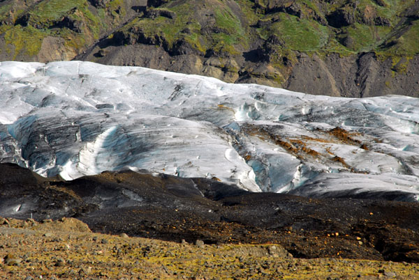
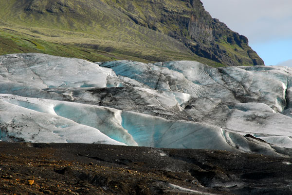 Svínafellsjökull blue-tinted glacial ice |
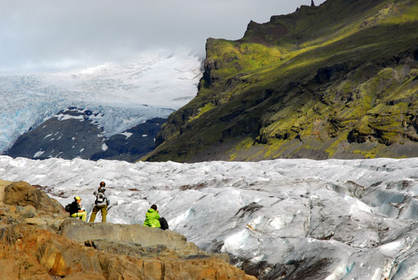 Hikers on the edge of Svínafellsjökull |
 Svínafellsjökull |
 Svínafellsjökull |
 Svínafellsjökull |
 Svínafellsjökull |
 Svínafellsjökull |
 Svínafellsjökull |
 Svínafellsjökull |
 Svínafellsjökull |
 Svínafellsjökull |
 Svínafellsjökull seen from the Ring Road |
| comment | share |
| Dror Yalon | 13-Mar-2007 14:58 | |