


|
|
|
|
|
|
| Brian McMorrow | profile | all galleries >> Europe >> Iceland >> Ring Road Reykjavik-Skaftafell | tree view | thumbnails | slideshow |
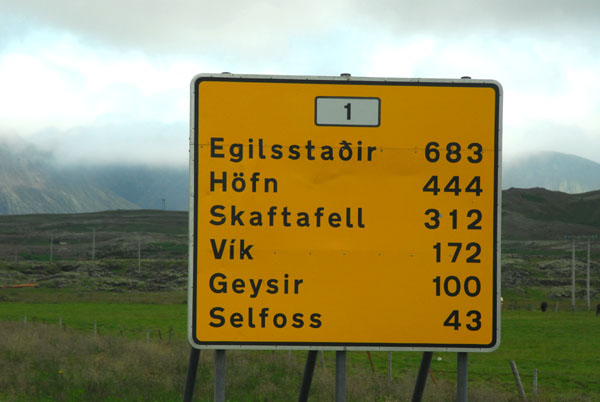 Departing Reykjavik on Iceland's Ring Road, counter clockwise |
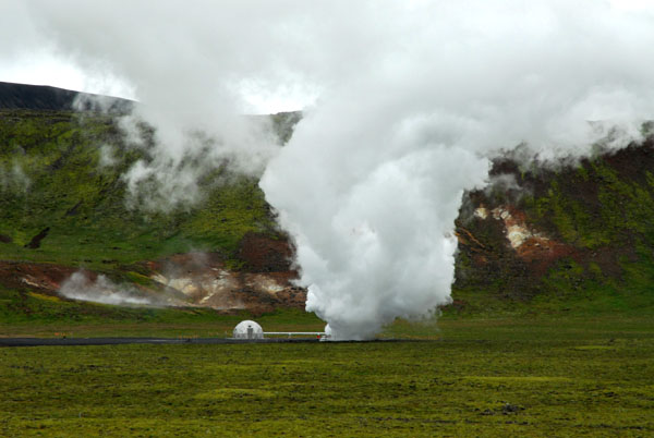 Geothermal feature at Hverahliđ NW of Selfoss |
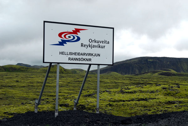 Orkuveita Reykjavíkur Hellisheiđarvirkjun Rannsóknir - geothermal power |
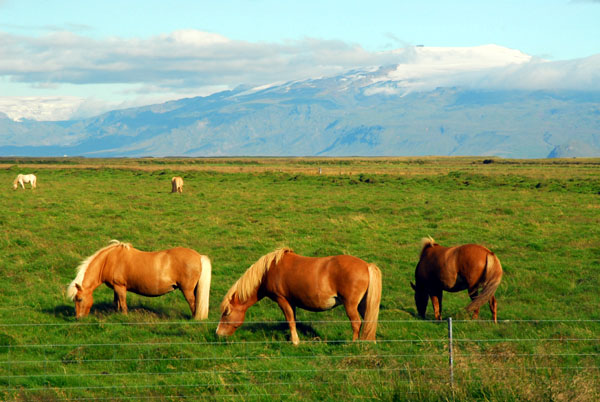 Icelandic horses with Eyjafjallajökull in the background |
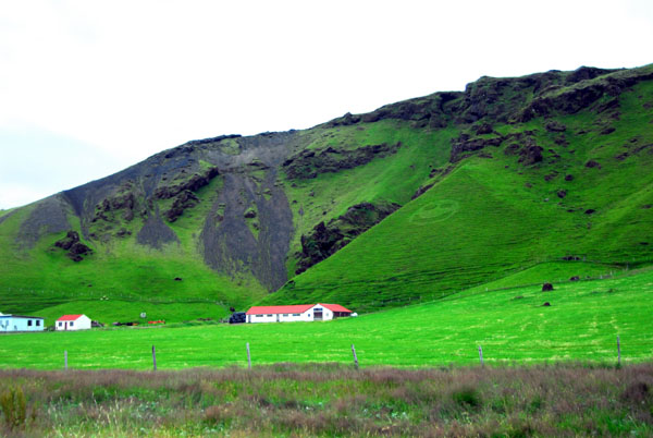
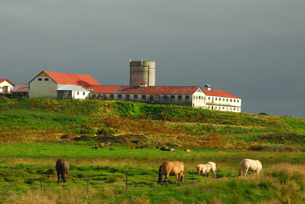 A farm along the Ring Road, Austur-Landeyjar |
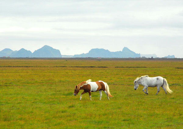 Horses on mainland Iceland with the Westmann Islands in the distance |
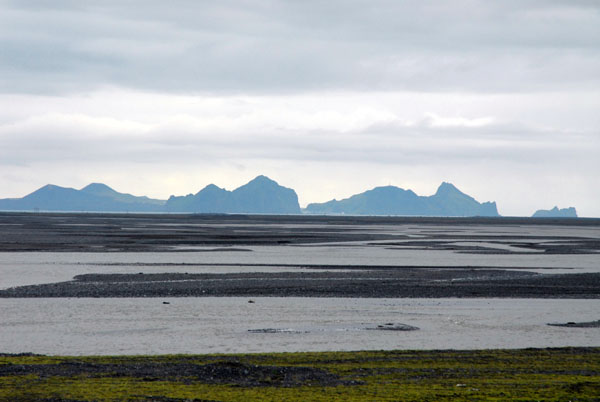 Vestmannaeyjar (Westmann Islands) |
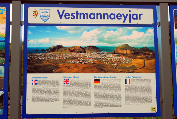 Information sign on the Westmann Islands |
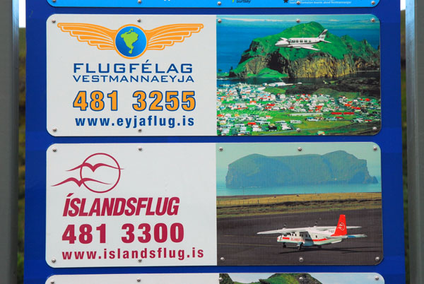 Flugfélag Vestmannaeyja and Íslandsflug, two air taxi companies to the Westmann Islands |
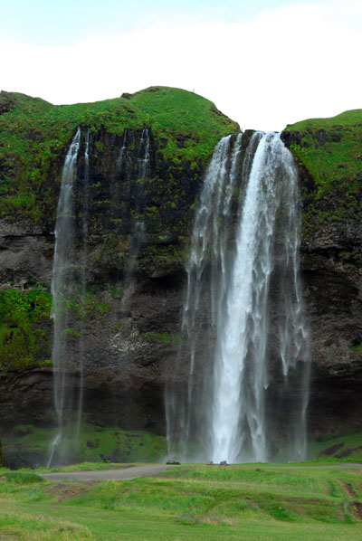 Seljalandsfoss |
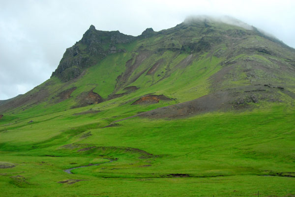
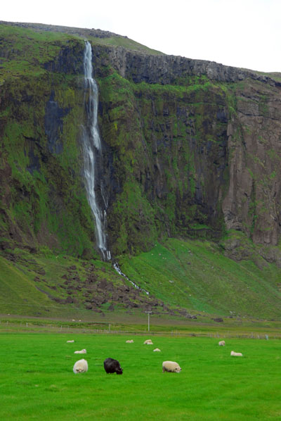 Eyjafjöll |
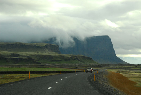
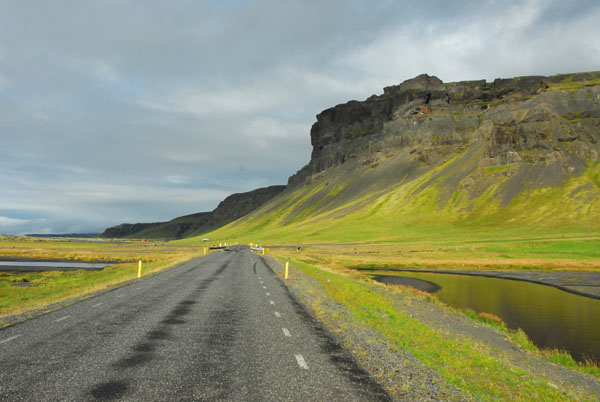
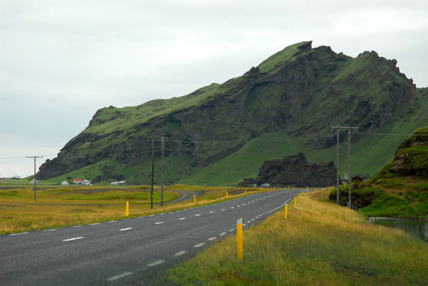 Ring road passing south of Eyjafjöll |
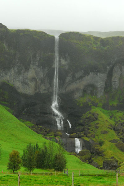
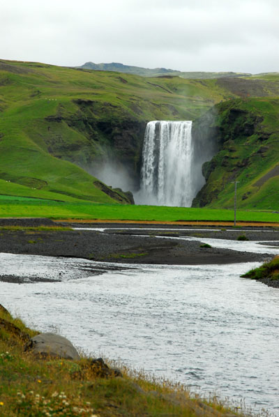 Skógafoss |
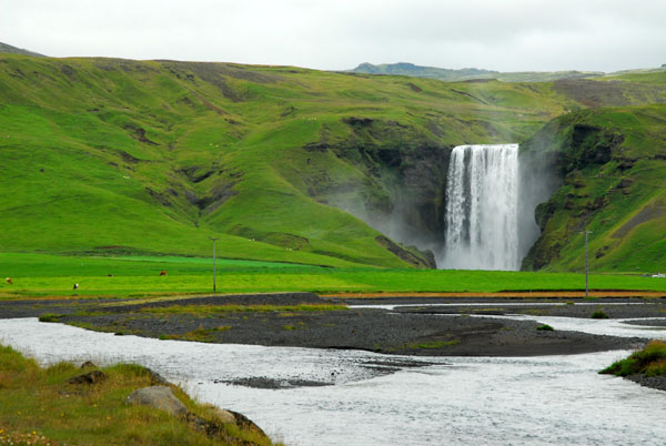 Skógafoss waterfall |
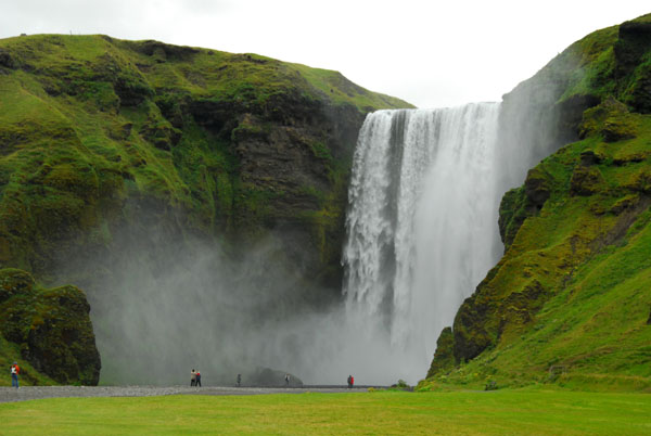 Skógafoss waterfall |
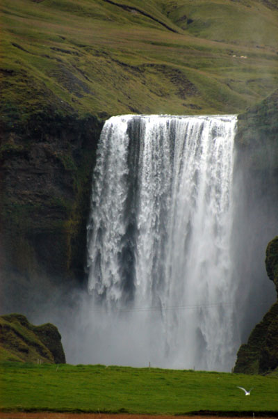 Skógafoss |
 Skógafoss |
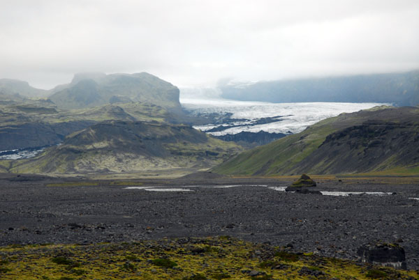 Sólheimajökull, a small glacier descending from the Mýrdalsjökull icecap |
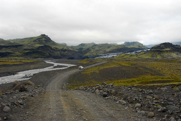 The dirt track from the Ring Road to Sólheimajökull |
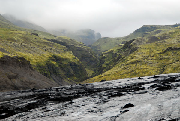
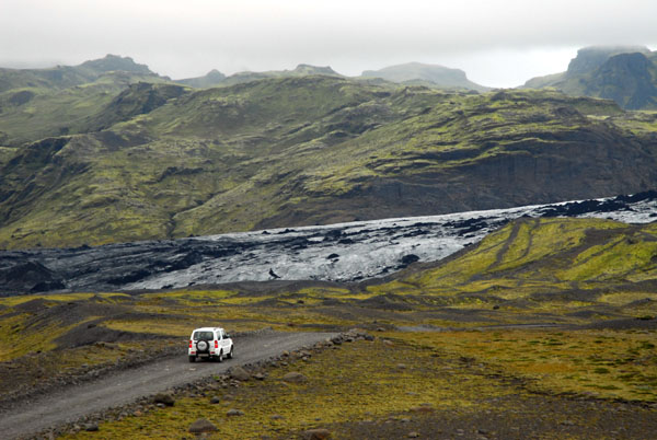 Sólheimajökull |
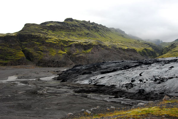 Sólheimajökull |
 Sólheimajökull |
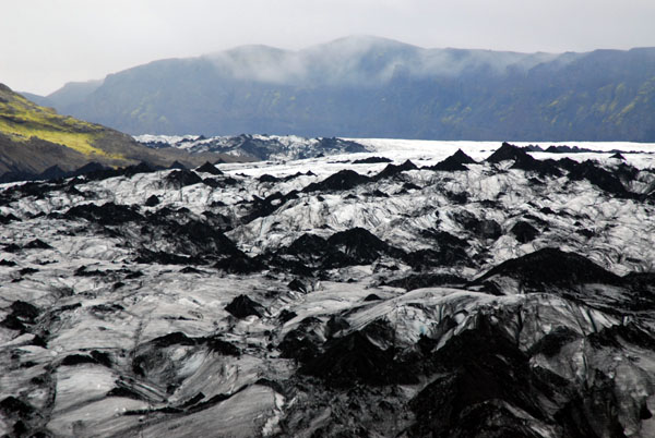 Sólheimajökull |
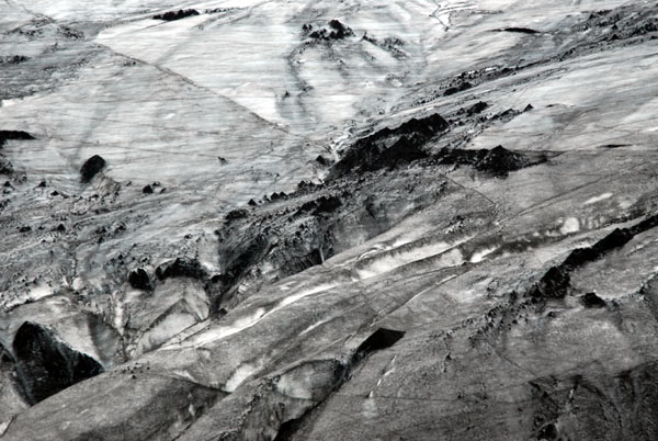 Sólheimajökull |
 Whimsical farm just west of the intersection of Route 215 to Reynir |
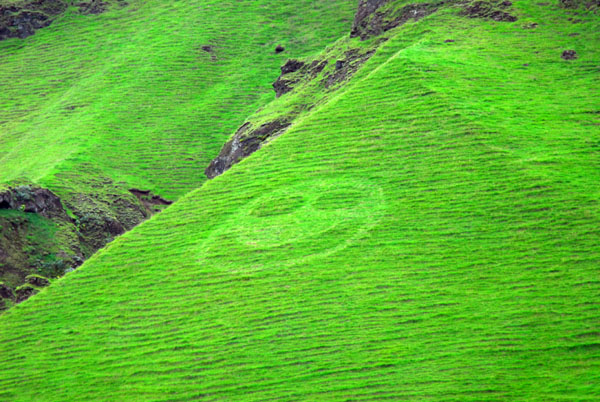 A farmer with a sense of humor... |
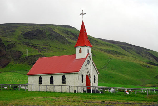 Reyniskirkja |
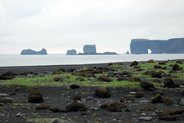 Reynisfjara black sand beach looking west to Dyrhólaey |
 Reynisfjara black sand beach and Dyrhólaey |
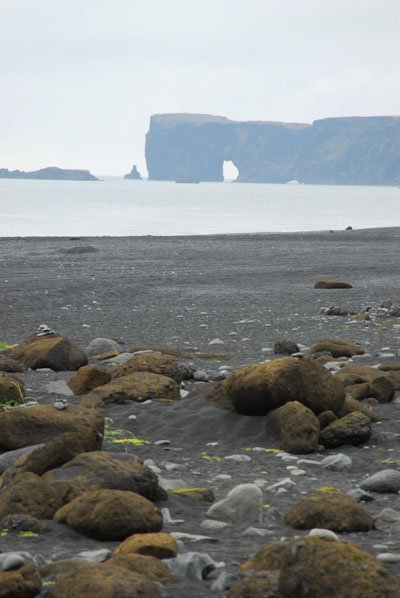
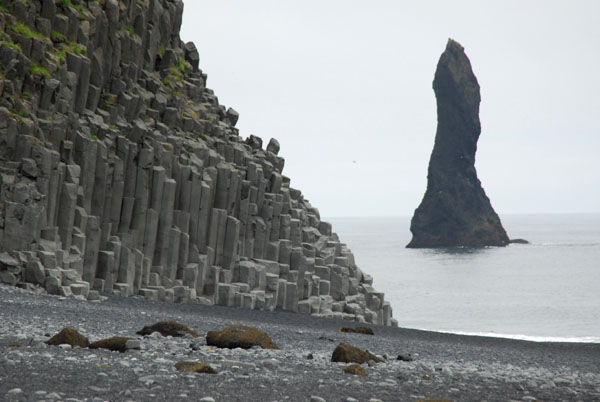 Sea stack and basalt cliffs, Reynisfjara beach (near Vík) |
 Sea stack and basalt cliffs, Reynisfjara beach (near Vík) |
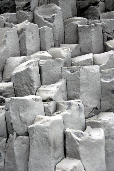 Basalt cliffs |
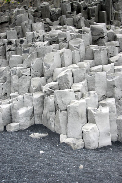 Basalt cliffs and black sand |
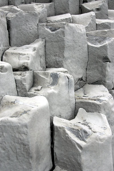 Basalt cliffs |
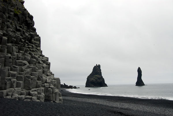
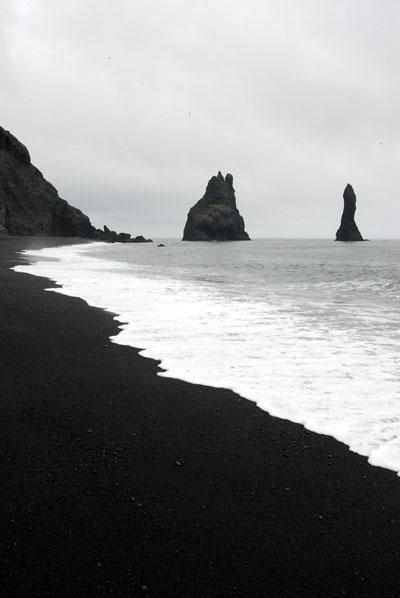 Sea stacks, Reynisfjara beach |
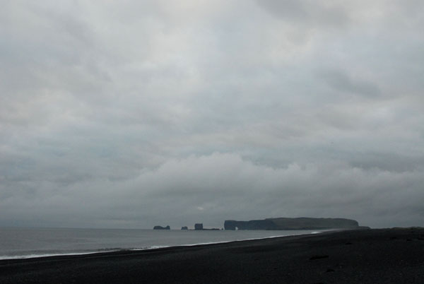 Reynisfjara beach |
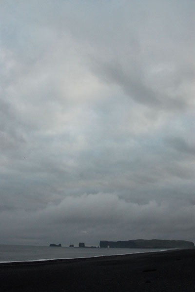 Reynisfjara beach |
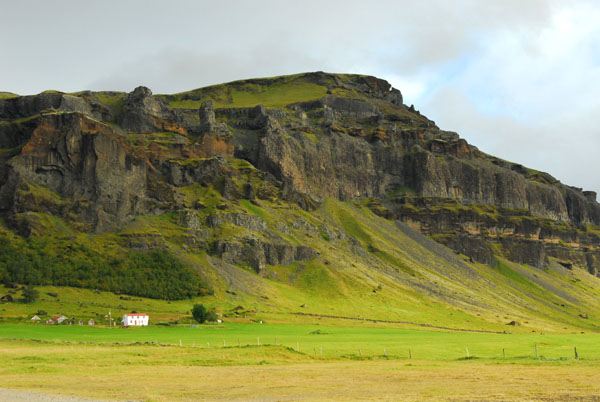
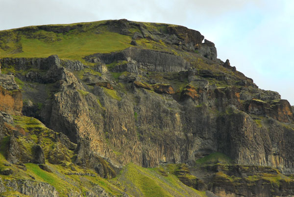
 Mountain near Vík |
 Foss á Síđu waterfall at Dverghamrar |
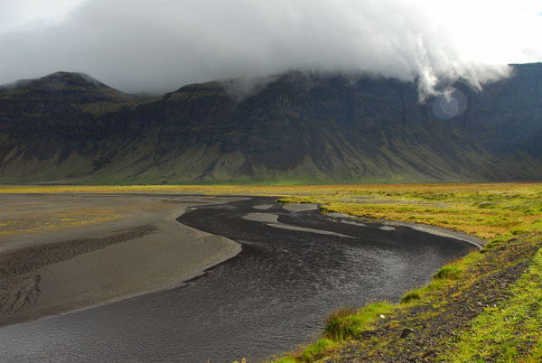
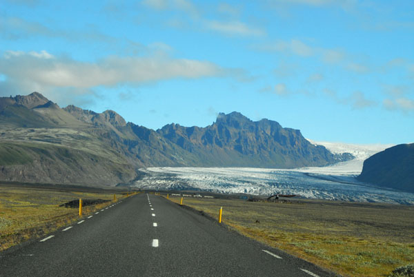
 Iceland Ring Road along the base of the Vatnajökull |
 Iceland Ring Road along the base of the Vatnajökull |
 Mountain along the base of the Vatnajökull |
 Iceland Ring Road along the base of the Vatnajökull |
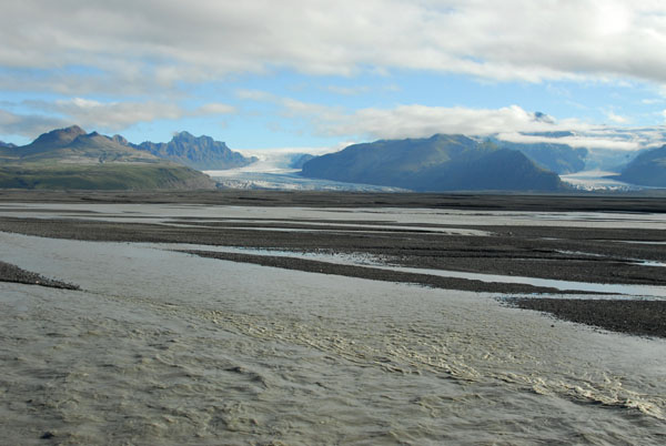
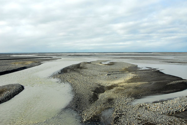
 One of the main channels crossing the Skeiđarásandur |
 Ring Road crossing the Skeiđarásandur |
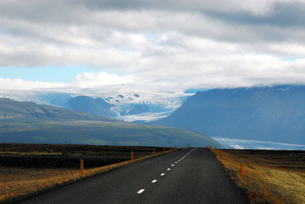 Ring road with the Skaftafellsjökull |
 Skaftafellsjökull |
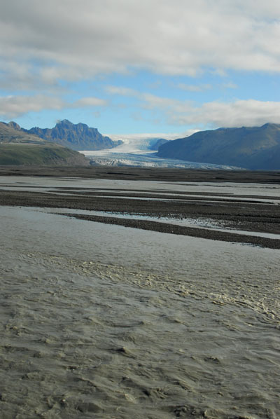
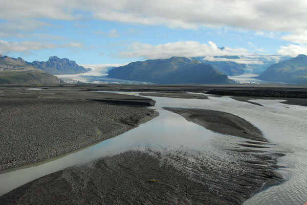
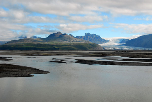 Skeiđará, a channel crossing the Sandur with Skaftafellsjökull |
 Skeiđará, a channel crossing the Sandur with Skaftafellsjökull |
 Sandur |
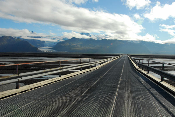 Bridge crossing Skeiđará, a main channel across the Sandur |
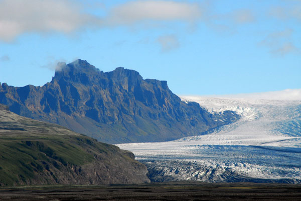 Skaftafellsjökull with the mountain Skarđatindur (1365m) |
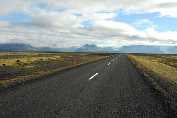
 Sandur, glacial runoff landscape |
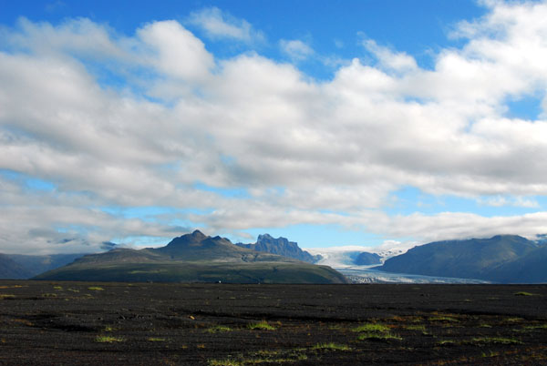
 Sandur and Skaftafell National Park in the distance |
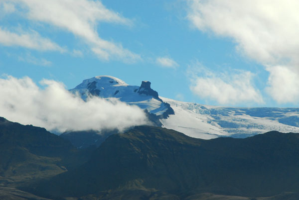 One of the highest mountains in Iceland |
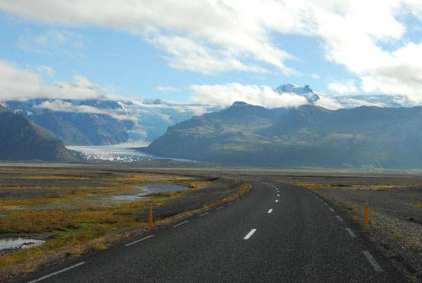 Ring Road and Skaftafell National Park in the distance |
 Ring Road and Skaftafell National Park in the distance |
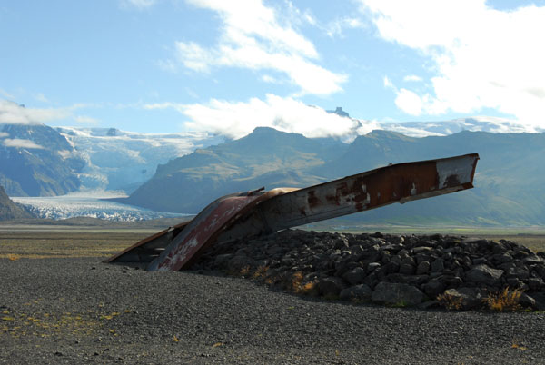 Twisted remains of the Gigjukvisl Bridge destroyed in a 1996 flood |
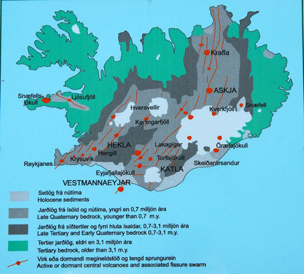 Geological map of Iceland from a roadside information sign |
| comment | share |