


|
|
|
|
|
|
| Brian McMorrow | profile | all galleries >> Asia >> Bhutan འབྲུག་ཡུལ་ >> Phuentsholing to Thimphu | tree view | thumbnails | slideshow |
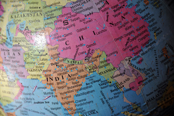 Bhutan, though it's the size of Switzerland, looks minuscule wedged between India and China |
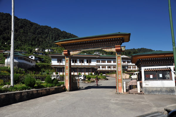
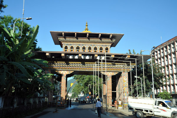 The Gate of Bhutan at the border between Jaigoan, India (West Bengal) and Phuentsholing, Bhutan |
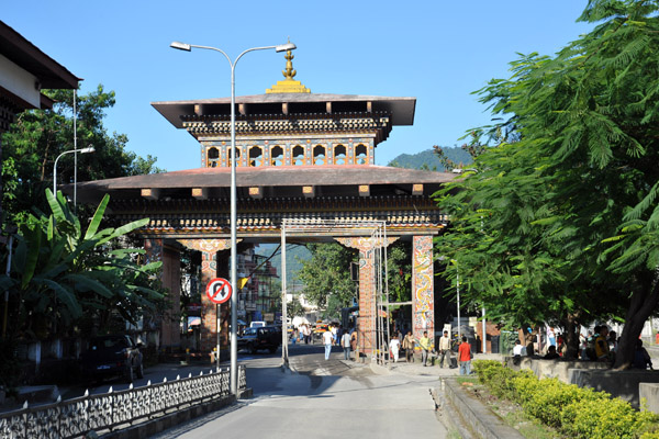 The striking difference between the towns on each side of the gate is as stark as crossing from Tijuana to San Diego |
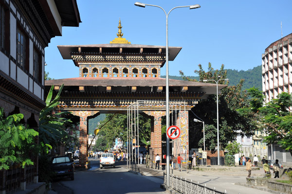 The Gate of Bhutan, Phuentsholing |
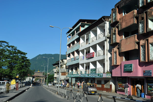 The main street of Phuentsholing leading from the Gate of Bhutan |
 The area around the Lhaki Hotel, Phuentsholin |
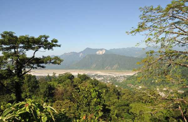
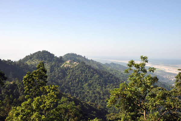
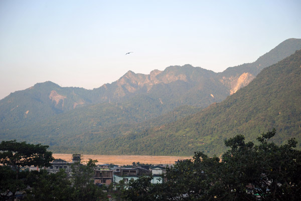 Phuentsholing sits right at the base of the first foothills of the Himalaya |
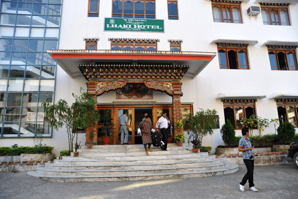 Lhaki Hotel, Phuentsholing, Bhutan |
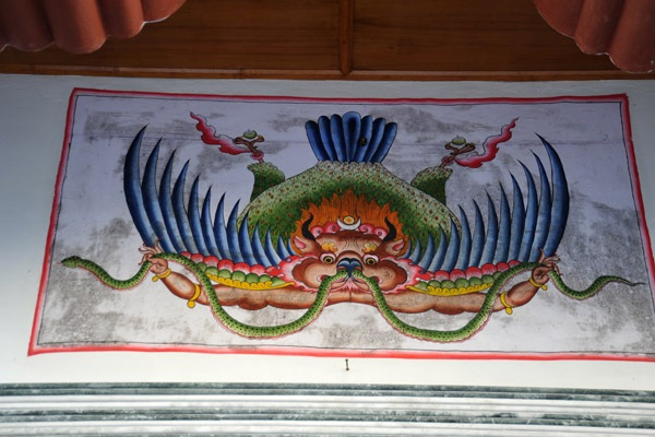 Garuda - Lhaki Hotel, Phuentsholing, Bhutan |
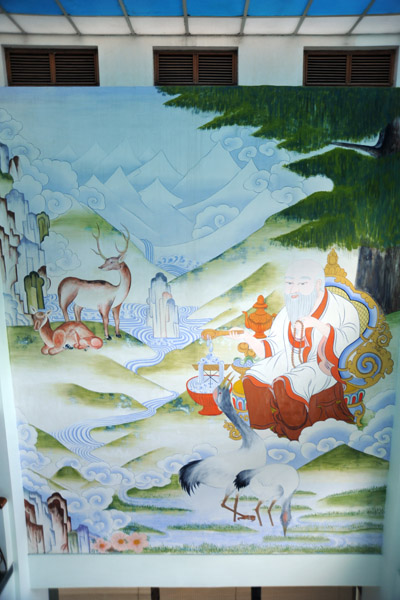 Mural of Tshering Namdrug - the six types of Long Life (old man, deer, stork, rock, waterfall, tree) |
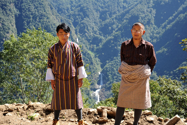
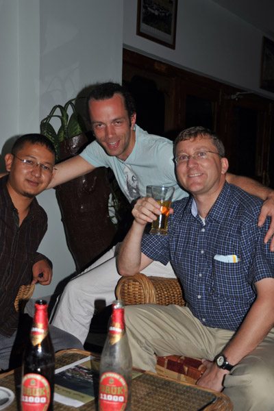 Me with the guide, Tandin, and a photographer who has been traveling with the Dalai Lama |
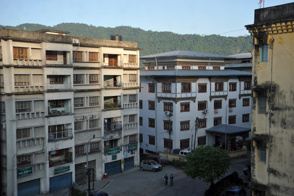
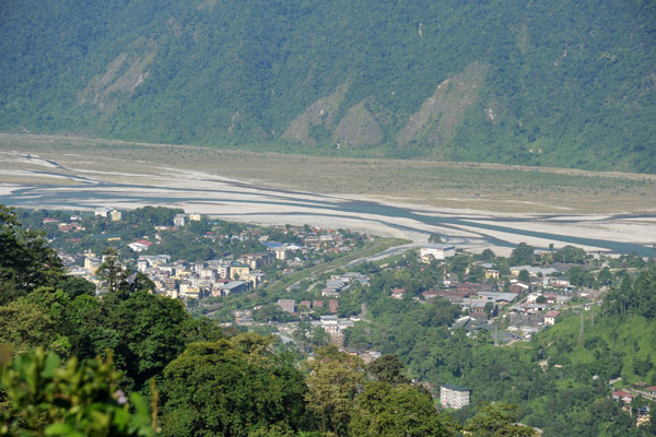
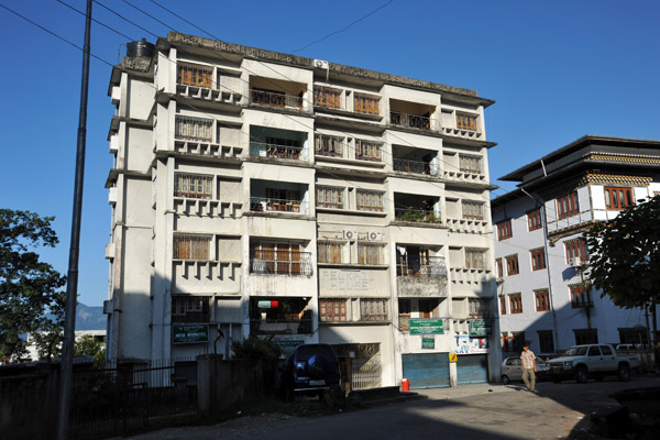 Phuentsholing, Bhutan |
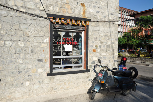 The Visa Counter on the Bhutan-side of the border, Phuentsholing |
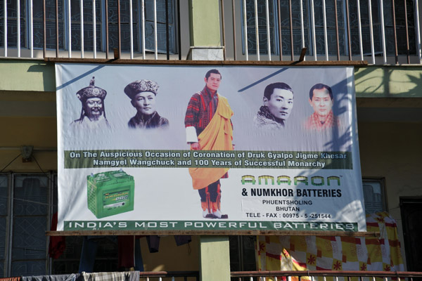 The Five Kings of Bhutan |
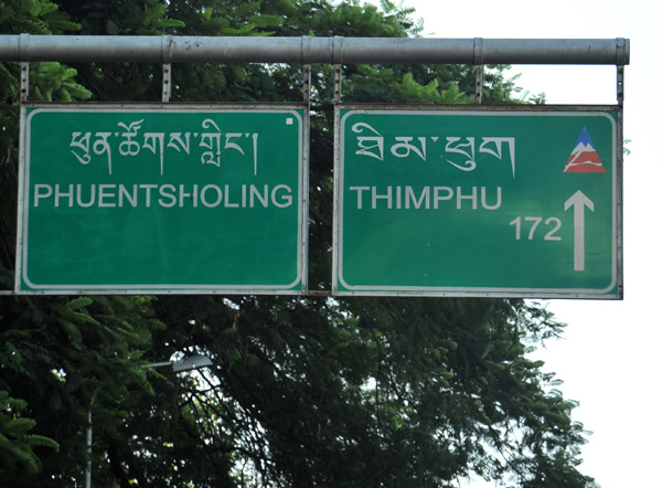 From the India-Bhutan border at Phuentsholing it is 172 km to the Bhutanese capital, Thimphu |
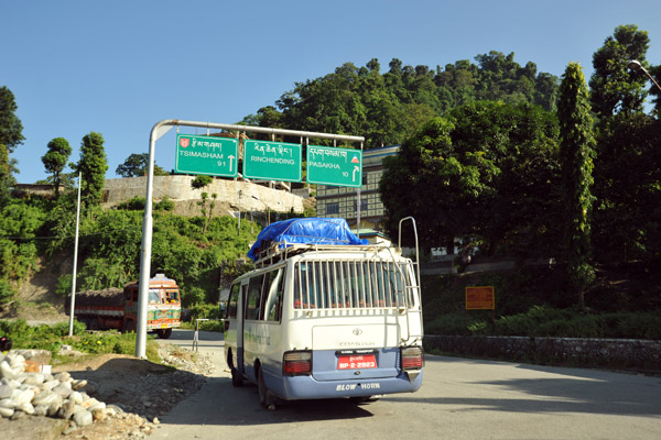 Starting the long climb to Thimphu |
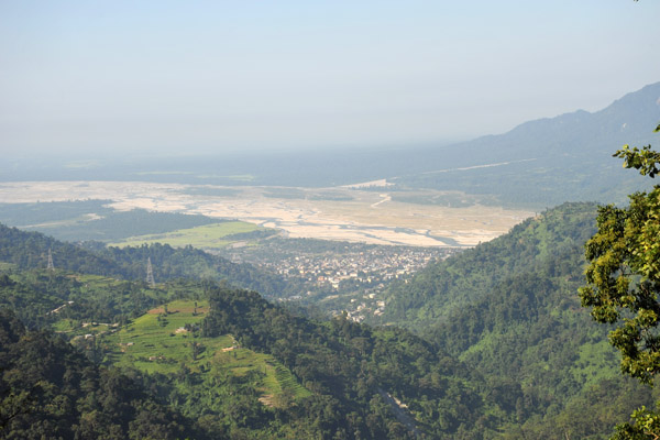
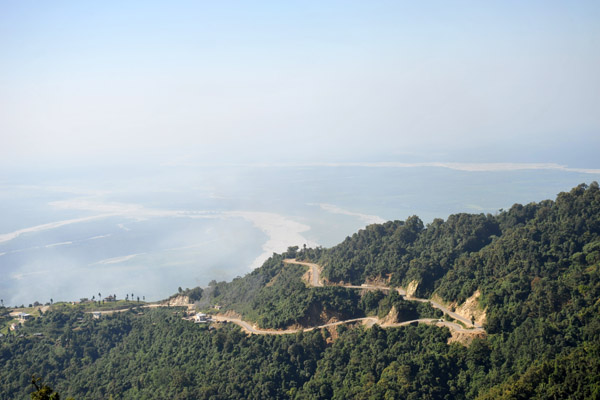
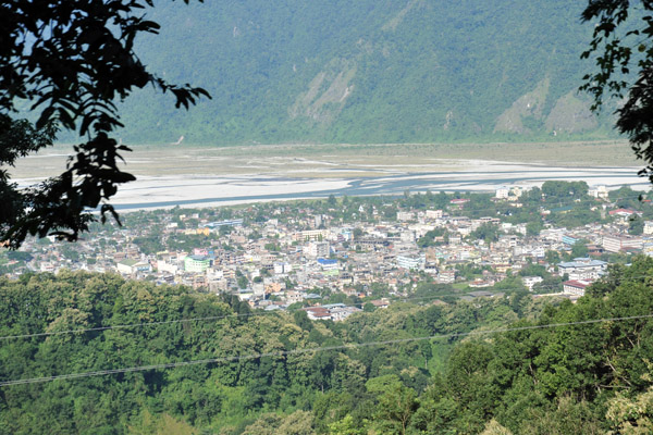 The border towns of Phuentsholing and Jaigoan |
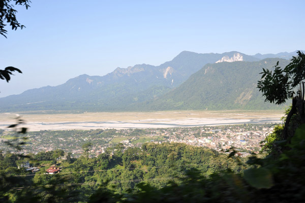 The plains of Bengal meeting the foothills of the Himalaya - Jaigoan/Phuentsholing |
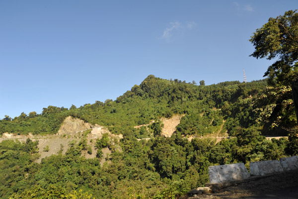
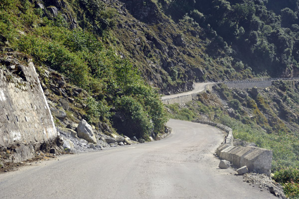
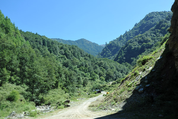
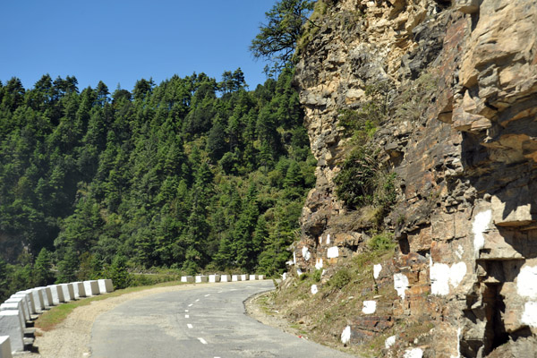
 The road climbs quickly into the Bhutanese foothills of the Himalaya |
 The Torsa River flowing onto the plains of Bengal from Bhutan where it is known as the Amo Chu River |
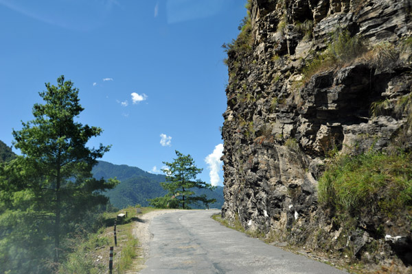
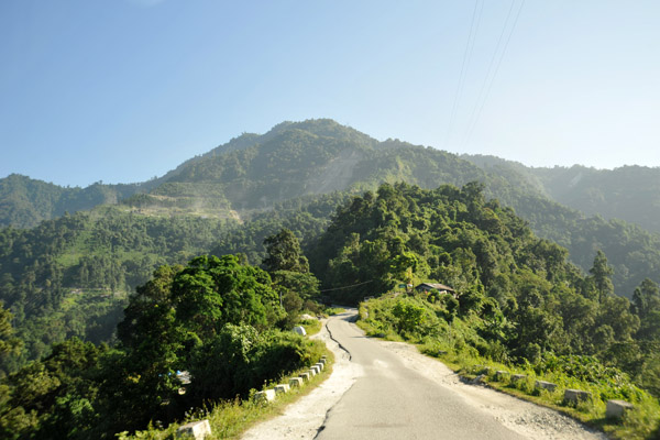 The road from Phuentsholing into the mountains |
 Climbing higher and higher above the Bengali plains |
 The forested foothills of the Himalaya, Bhutan |
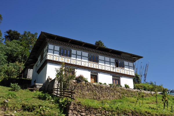
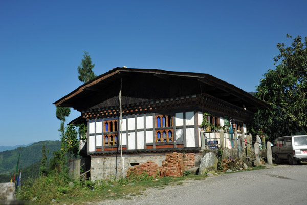 Typical house of rural Bhutan - distinct alpine style |
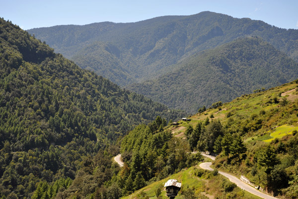
 Switchbacks as the road climbs above Phuentsholing |
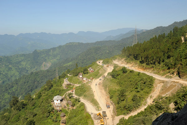
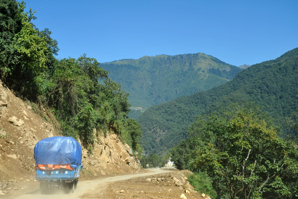
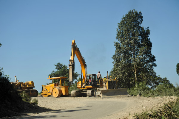 Road construction on the Phuentsholing-Thimphu Road |
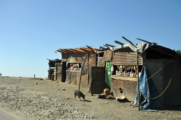 Roadside refreshment stands, Bhutan |
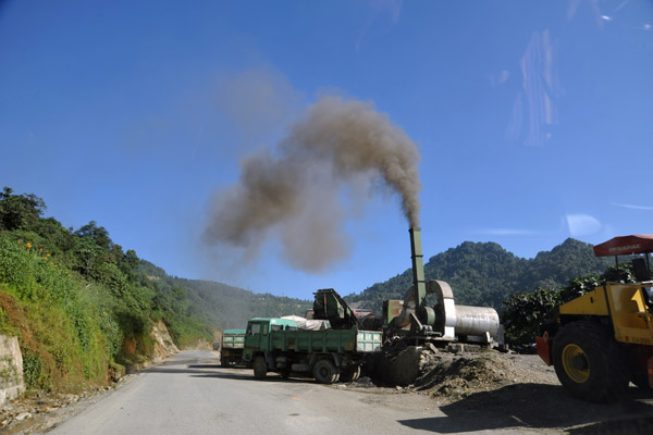 Road construction machinery emiting an ugly plume of smoke into the clean, crisp mountain air, Bhutan |
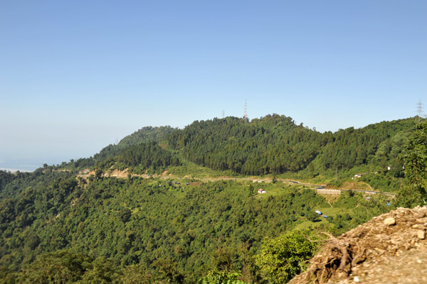
 The road climbs from Phuentsholing (elevation 750 ft) to over 8000 feet prior to reaching Thimphu |
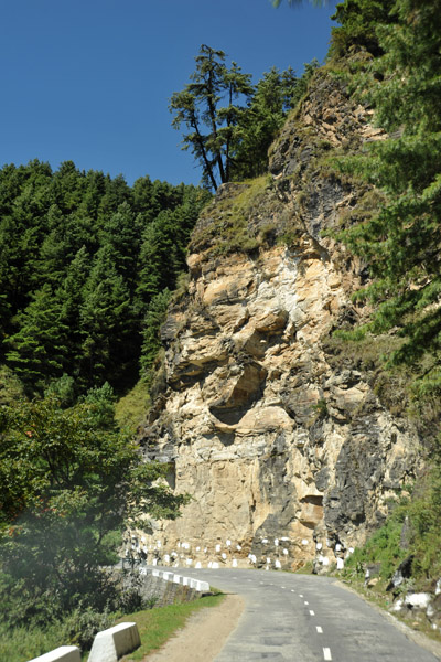
 The Phuentsholing-Thimphu Road |
 Switchback high above the Bengali Plains, Bhutan |
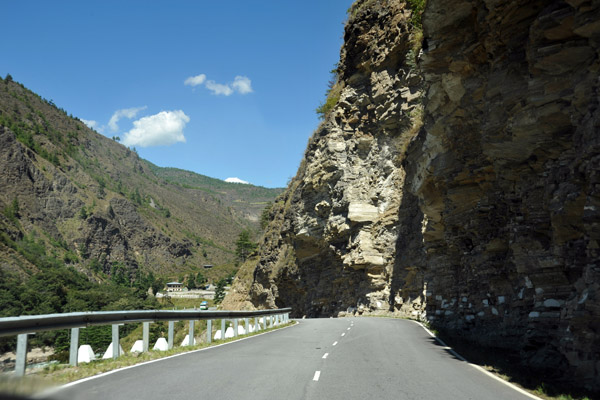
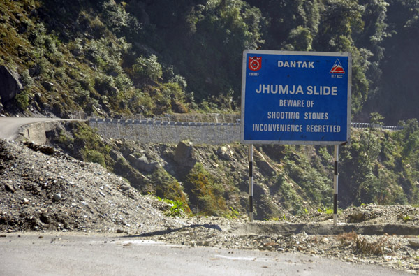 Jhumja Slide - Beware of Shooting Stones, Phuentsholing-Thimphu Road |
 Before the road was built in 1962, Bhutan was cut off from the world, accessible only on mountain foot paths |
 With the new road, the journey time between the Indian border and Thimphu was reduced from 6 days to 6 hours |
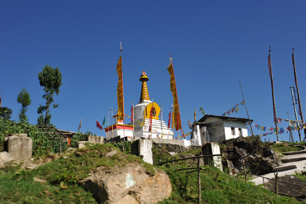 Bhuddist Bhutan has thousands of stupas |
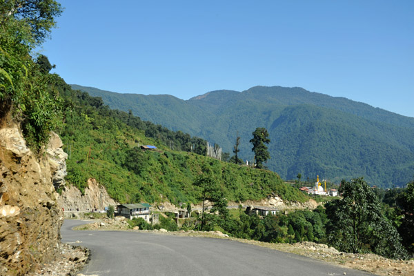
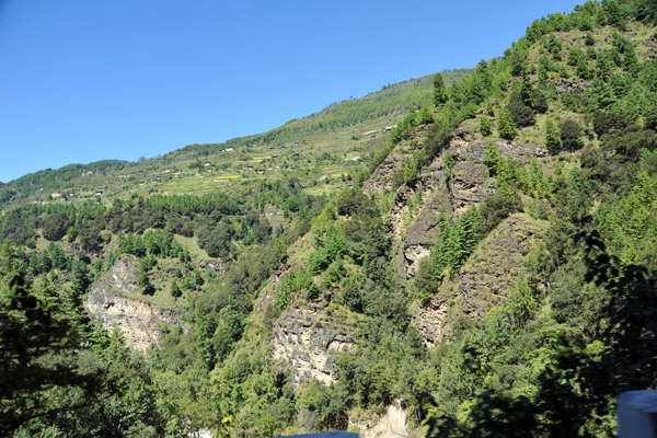
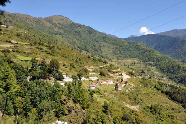
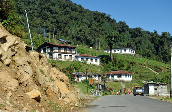 Village outside Gedu on the Phuentsholing-Thimphu Road |
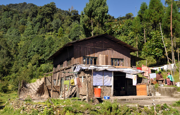 Rural house near Gedu, Bhutan |
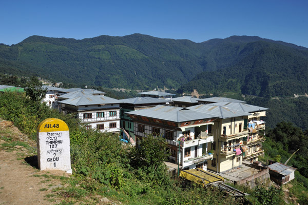
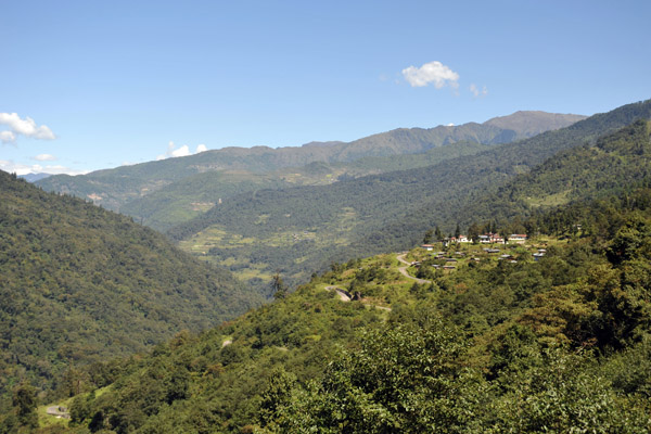
 Arriving at Gedu, the first big town along the road from the border |
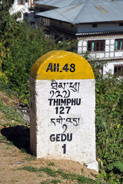
 Gedu is 45 km from Phuentsholing and 127 km from the capital city, Thimphu |
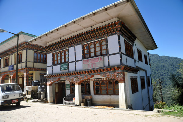
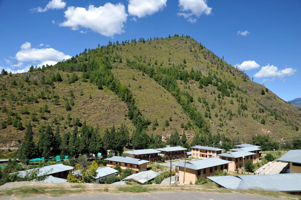
 Gedu, Bhutan |
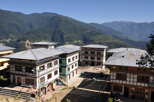
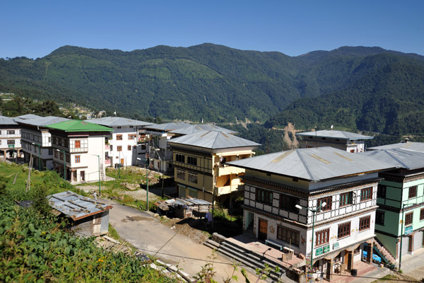 Gedu, Bhutan |
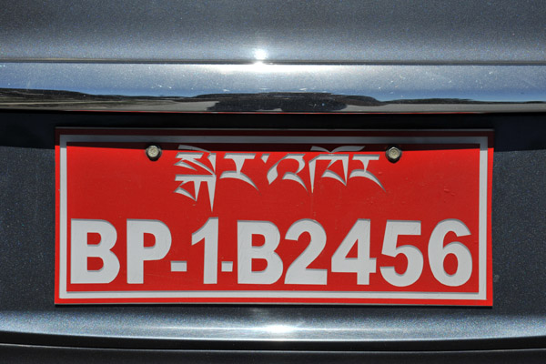 Bhutanese license plate (private vehicle) |
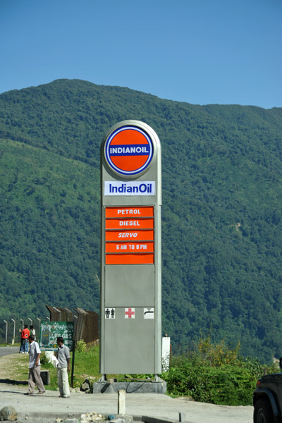 Indianoil gas station, Gedu, Bhutan |
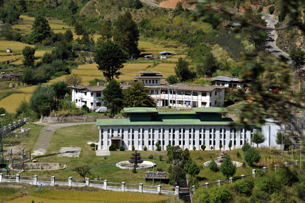
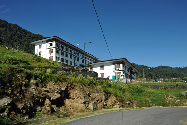 Gedu College of Business Studies, Chukka District, Bhutan |
 Tala Complex - Tala Hydropower Project Authority (THPA), Gedu, Bhutan |
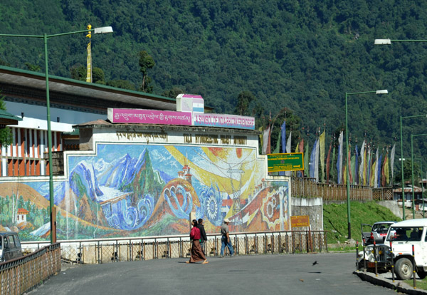 The Tala Hydroelectric Project was started 1998 and commissioned in 2007 |
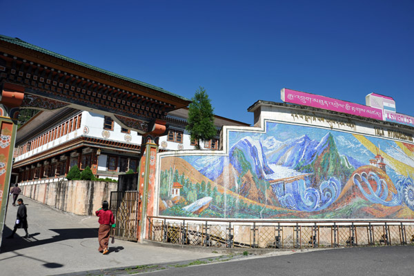 Mosaic of the Tala Hydroelectric Project |
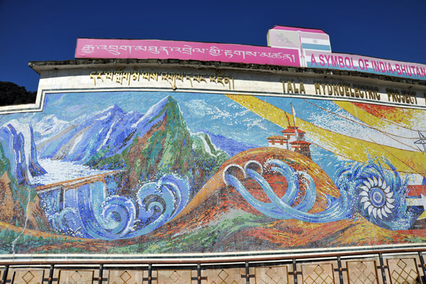 Tala Hydroelectric Project - A Symbol of India-Bhutan Friendship - and the source of 45% of government revenue |
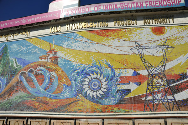 Tala Hydroelectric Project, the largest in Bhutan - 1020MW, most exported to India |
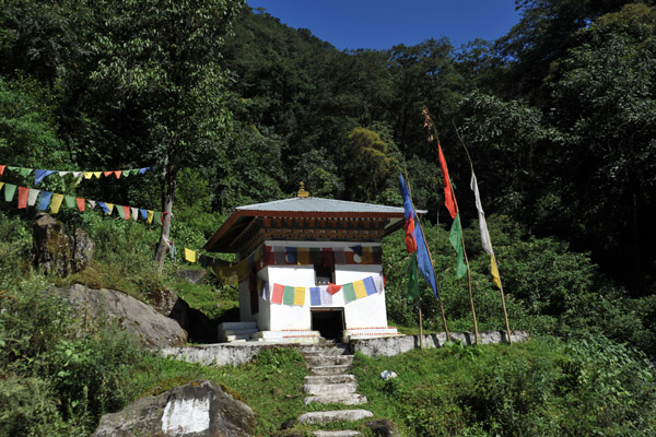 A small Bhuddist shrine with prayer flags |
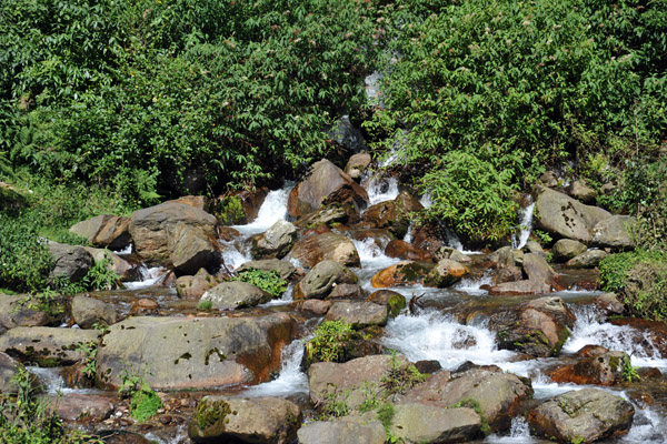 A small stream along the road |
 Bhutan is a land of waterfalls |
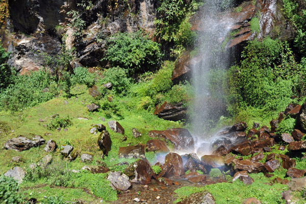 Waterfall outside Gedu |
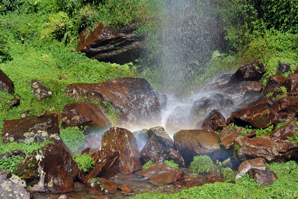 Waterfall outside Gedu |
 Waterfall outside Gedu |
 Waterfall, Bhutan |
 Traditional Bhutanese architecture uses no nails - the woodwork is assembled with dove-tail joints |
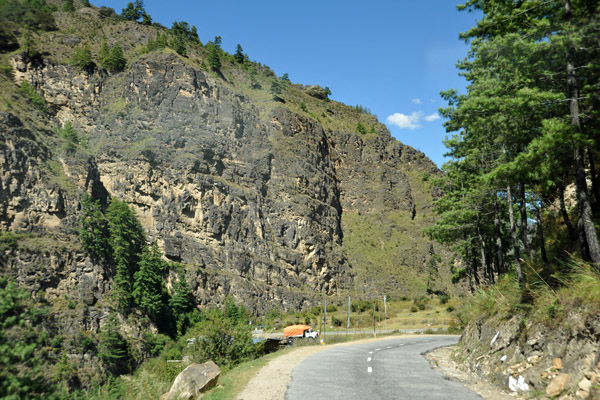
 Thankfully there was very little traffic on the road - a bit surprising since so much must be imported from India |
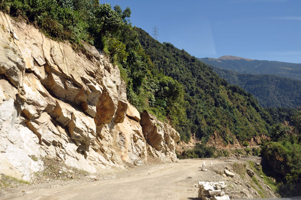 An unpaved section of the Phuentsholing-Thimpu Road |
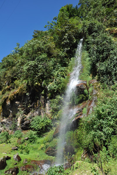
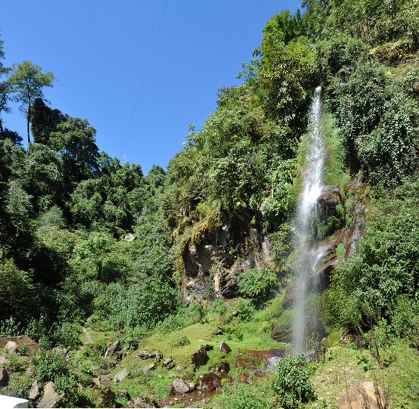
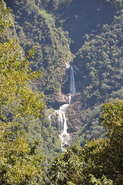 Large waterfall near Chhukha, Bhutan |
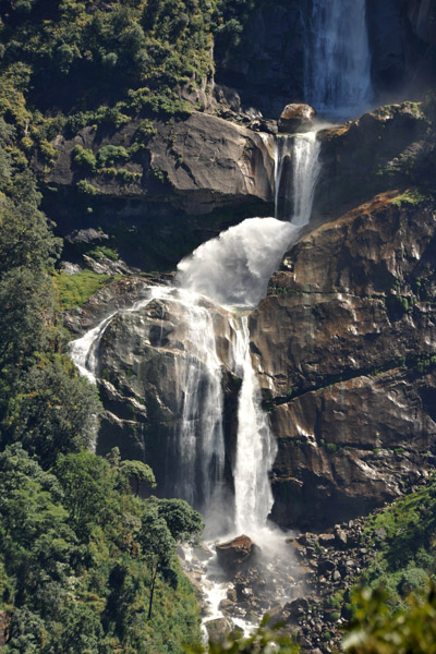 Large waterfall near Chhukha, Bhutan |
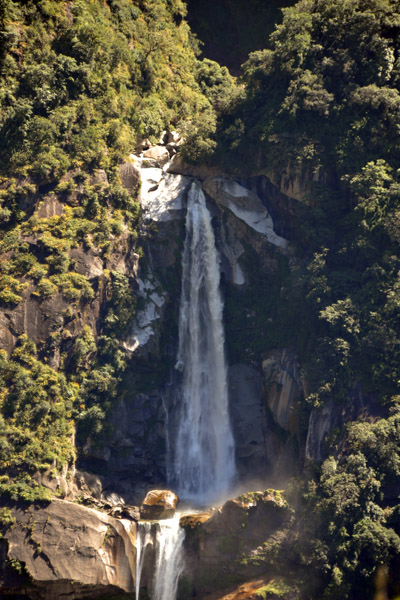 Large waterfall near Chhukha, Bhutan |
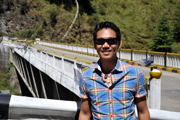
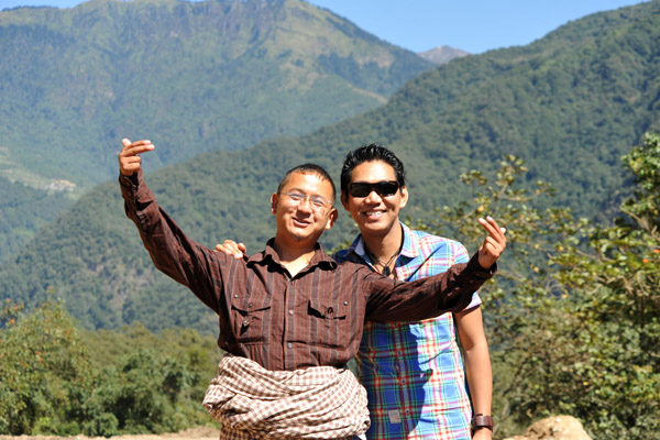 Dennis and the guide, Tandin Dorji |
 The driver, Jimi, and the guide, Tandin, organized by Snow White Treks & Tours |
 Truck heading downhill towards Chhukha |
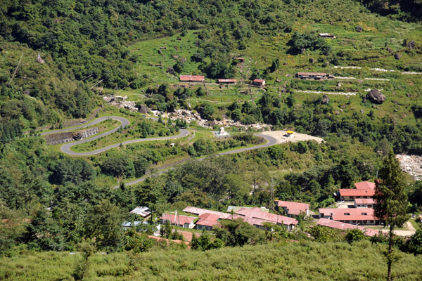
 Turnoff for the Tala Dam, Wangkha, Bhutan |
 Wangkha, Bhutan |
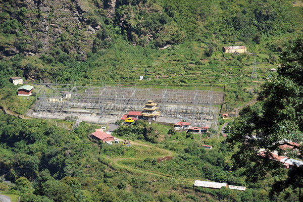 Part of the Tala Hydroelectric Project, Bhutan |
 Tala Hydroelectric Project |
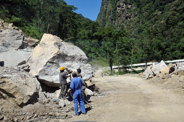 Rockslides are not uncommon in Bhutan |
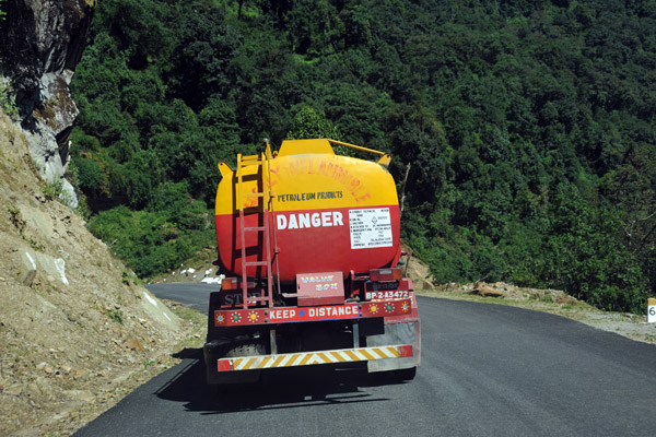
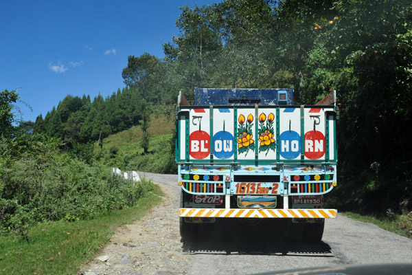 A truck on the road to Thimphu painted up like those in India |
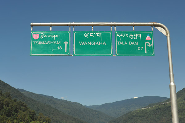
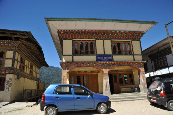 Tshimasham-Chukha, Bhutan |
 Tshimasham-Chukha, Bhutan |
 Tsimasham-Chukha, Bhutan |
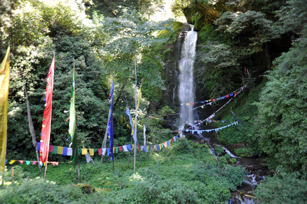 Prayer flags leading to the Shiv Mandir Shrine at a waterfall between Bunakha and Lobnekha, Bhutan |
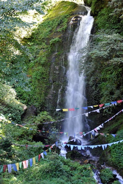 Waterfall with prayer flags - Shiv Mandir Shrine |
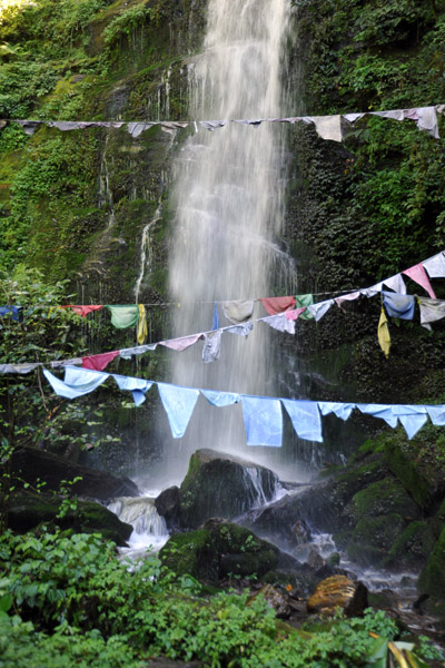 Waterfall with prayer flags - Shiv Mandir Shrine |
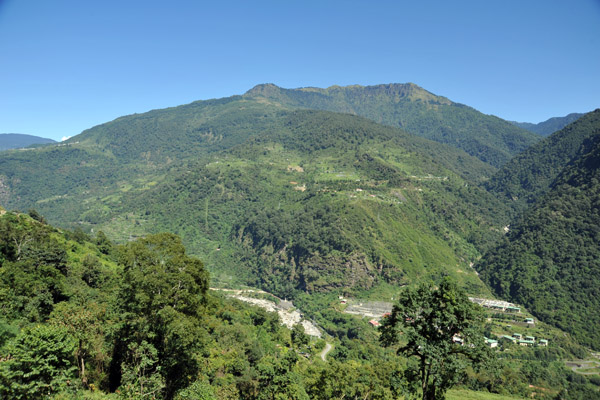
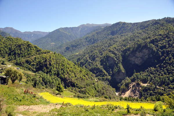
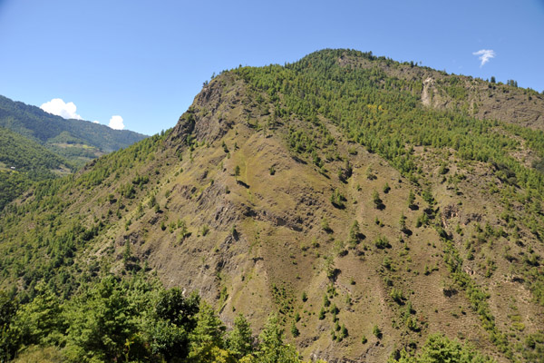
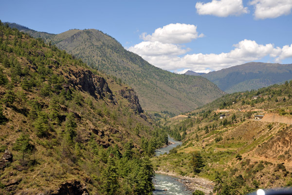
 The forest-covered hills and mountains of Bhutan are beautiful |
 Looking across the valley near Tanalung to the continuation of the road to Thimphu |
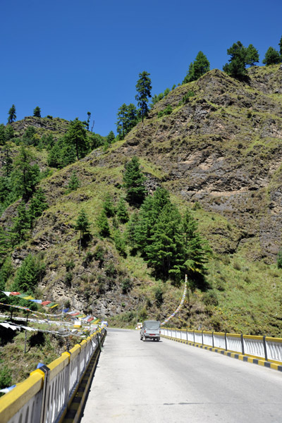 Ta Chhog Zam - Most Excellent High Bridge, Dantak |
 View from the Ta Chhog Zam bridge |
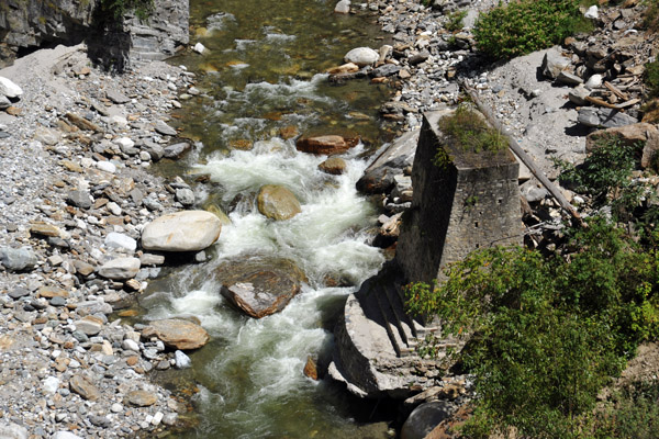 Concrete pillars of the old bridge |
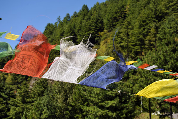 Prayer flags |
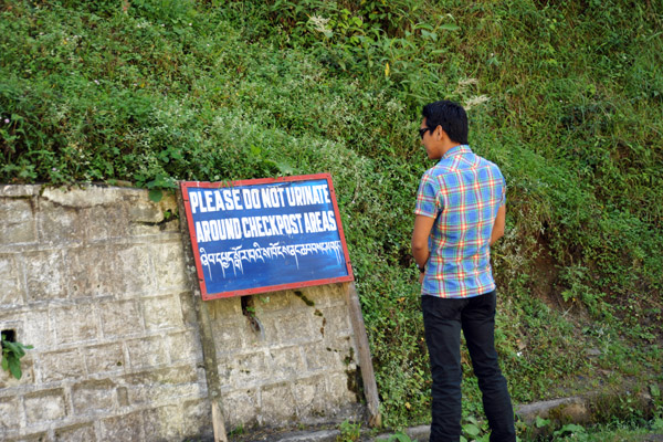 Please do not urinate around checkpoint areas |
 Waiting while the guide completes formalities at the checkpoint |
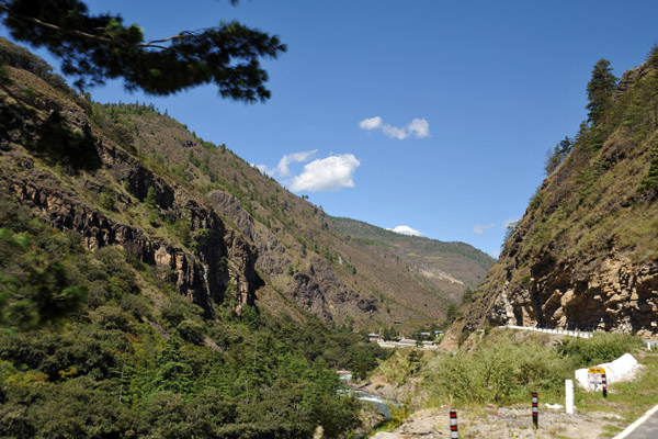
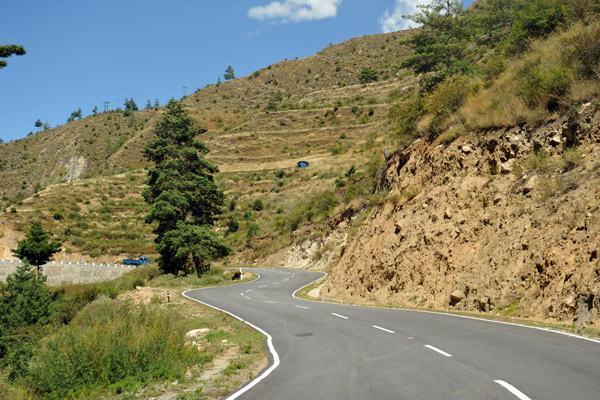
 Continuing on the road to Thimphu |
 High point on the Phuentsholing-Thimphu Road |
 Nearing the heartland of Western Bhutan |
 The road to Thimphu |
 Village clinging to the hillside near Chapcha, Bhutan |
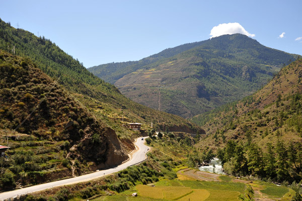
 Now around 50 km south of the capital, Thimphu |
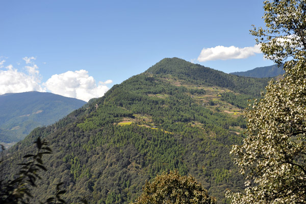 There is very little flat land in Bhutan |
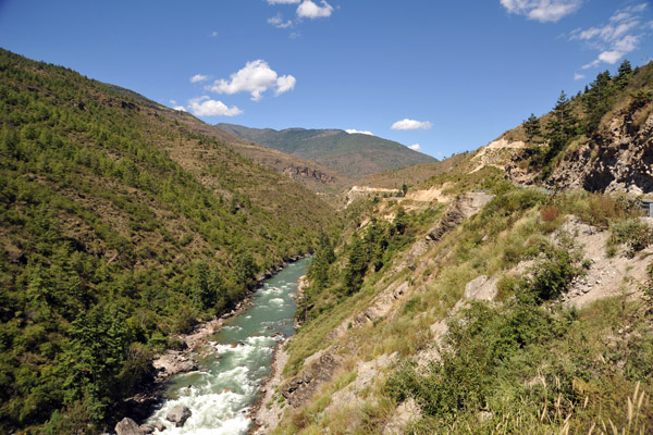
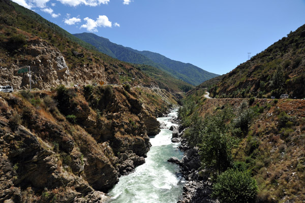
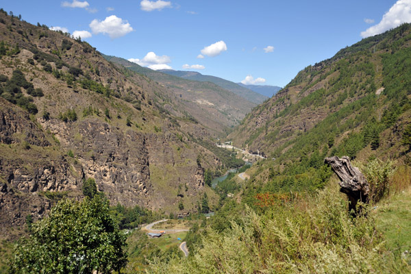 Valley of the Wang Chhu River |
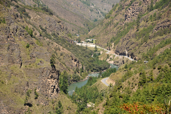 The road to Thimphu following the east bank of the Wang Chhu River |
 Bhutan scenery |
 The road to Thimphu |
 9km south of Chuzon along the Wang Chu valley |
 Major highway for Bhutan |
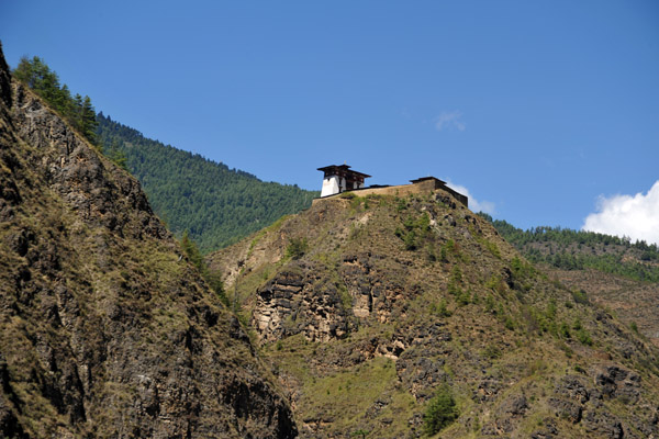 Dobji Dzong, Bhutan |
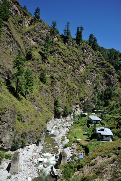
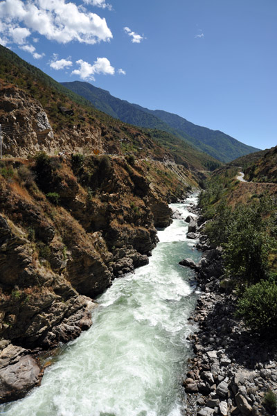
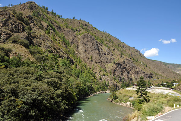 Wang Chhu River |
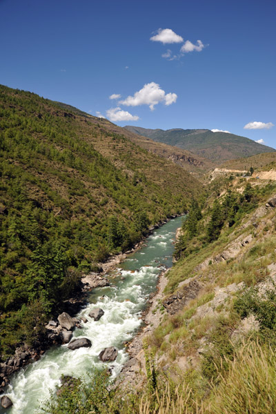 Wang Chhu River |
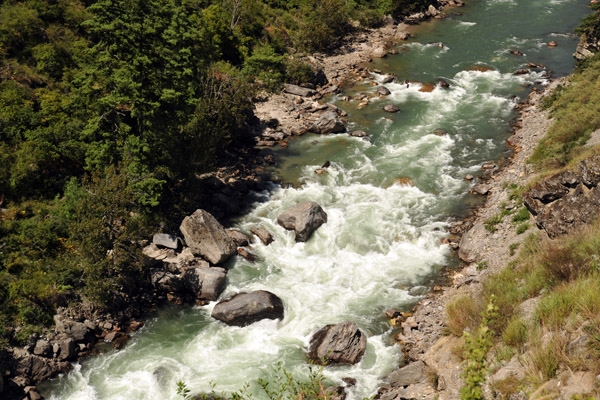 Wang Chhu River |
 Wang Chhu River |
 Phuentsholing-Thimphu Road 31km south of the capital |
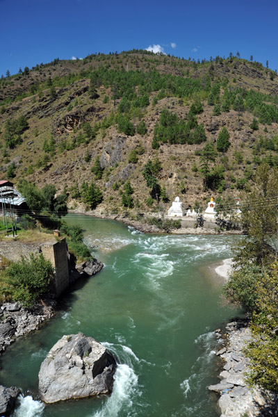 Chuzom - the confluence |
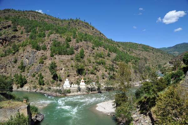 Chuzom is the confluence of the where the Pho Chhu (Father River) & Mo Chhu (Mother River) come together to form the Wang Chhu |
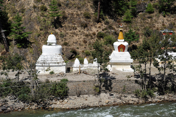 Chortens at the conflence, Chuzom |
 Looking south along the Wang Chhu from the Chuzom Bridge |
 Wang Chhu River, Bhutan |
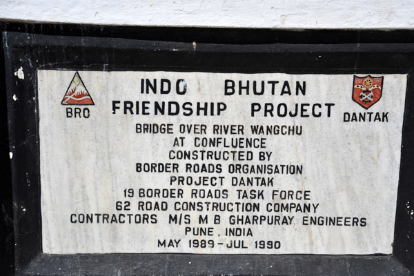 Indo-Bhutan Friendship Bridge (1989-1990), Chuzom |
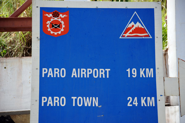 From the junction, it's 19km to Paro Airport and a further 5 km to the town |
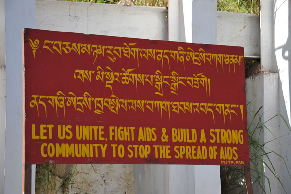 Let us unite, fight AIDS & build a strong community to stop the spread of AIDS, Bhutan |
 The Mo Chhu branch of the Wang Chhu River heading towards Thimphu |
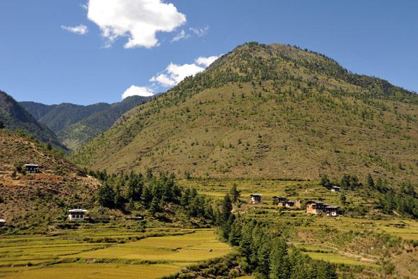
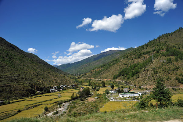
 The road to Thimphu passing some terraced fields |
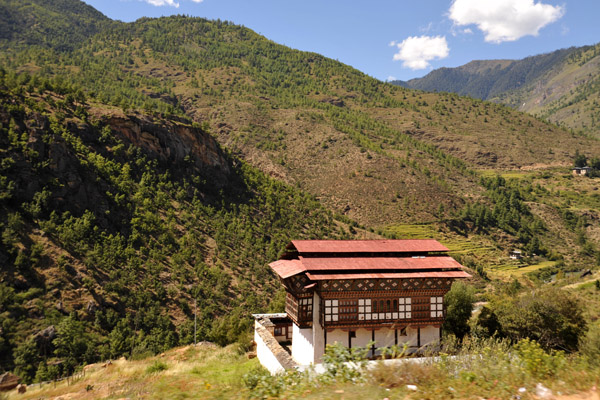 A traditional rural Bhutanese house, Wangsisna |
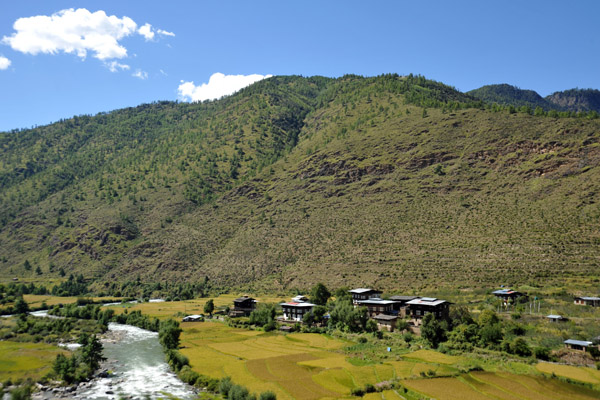
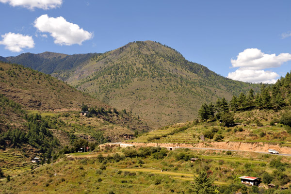 Terraced fields south of Thimphu |
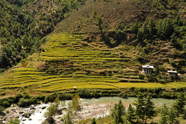 In a country with little flat land, terraces are important features for agriculture |
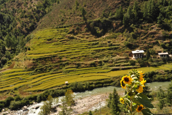 Sun Flower, Wang Chhu Valley |
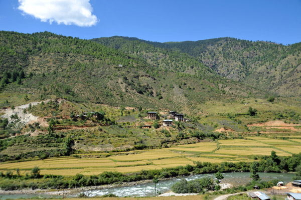
 Agricultural area between Chhuzom and Thimphu |
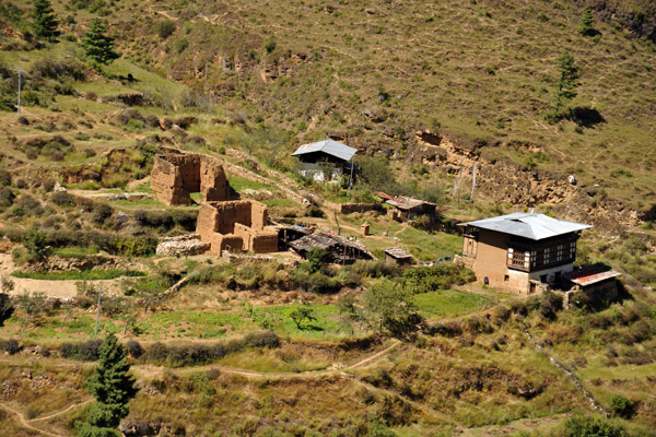 A pair of abandoned houses |
 Wang Chhu Valley just south of Thimphu |
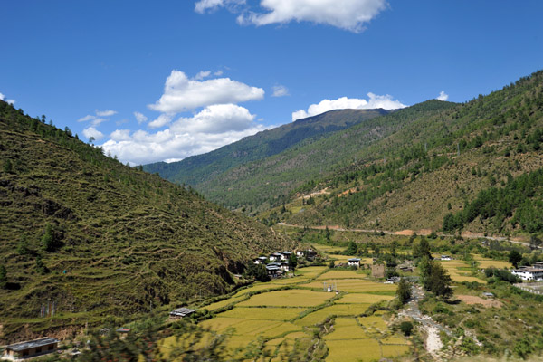
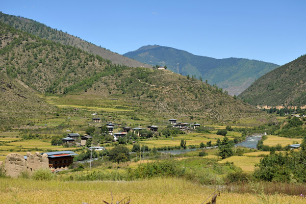
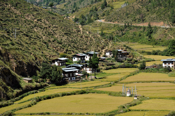 A small village with rice fields near Thimphu |
 Khasadrapchu, 19km south of Thimphu |
 Khasadrapchu, Bhutan |
 A school, perhaps... |
 Wang Chhu Valley nearing Thimphu |
 Rice fields along the Wang Chhu near Thimphu |
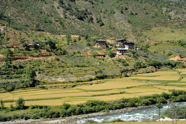 Rice fields along the Wang Chhu near Thimphu |
 Rice fields along the Wang Chhu near Thimphu |
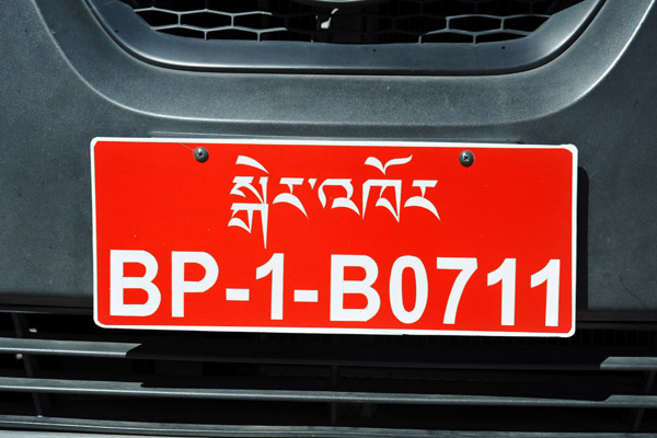 Bhutan Licence Plate (private vehicle BP) |
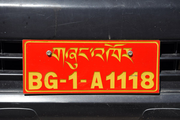 Bhutan License Plate (government vehicle BG) |
 Snow White Treks & Tours - recommended |
| comment | share |