


|
|
|
|
|
|
| Brian McMorrow | profile | all galleries >> Asia >> Tajikistan >> Pamir Highway - Murghab to Khargush | tree view | thumbnails | slideshow |
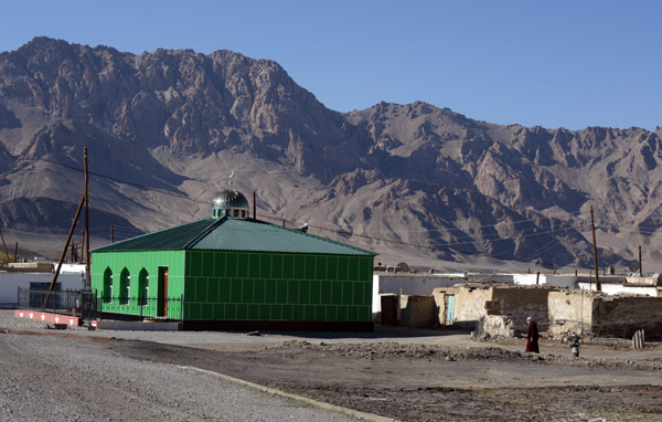 Shiney new green tiled mosque in the first village along the Pamir Highway south of Murghab |
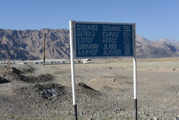
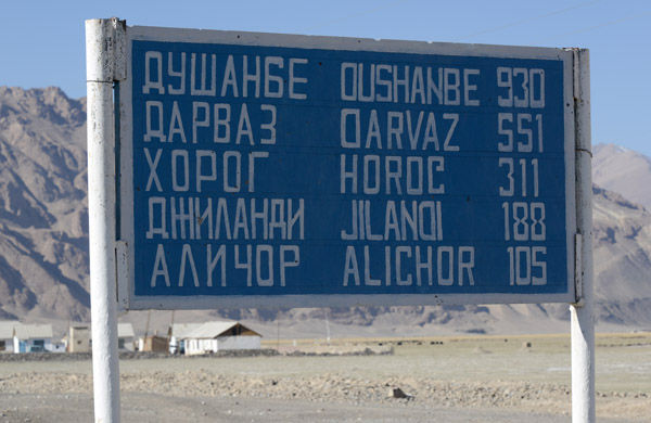 930 km to Dushanbe and 311 km to Khorog along the Pamir Highway from Murghab |
 Today's destination is the Wakhan Valley, so we'll leave the Pamir Highway at Sasikul just after Alichor |
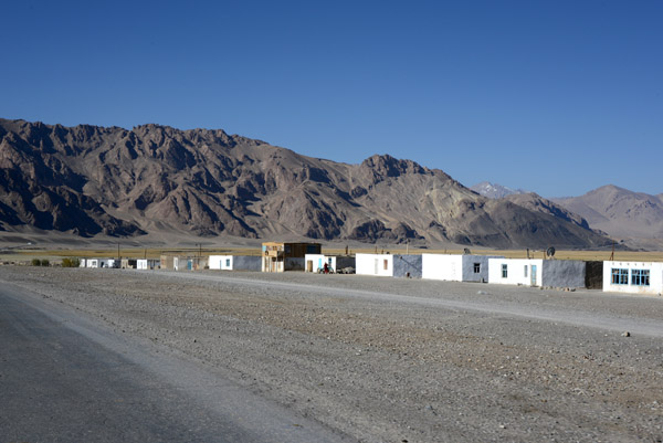
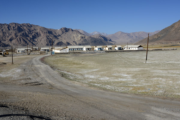 The second nameless village outside of Murghab |
 Plenty of room to widen the Pamir Highway |
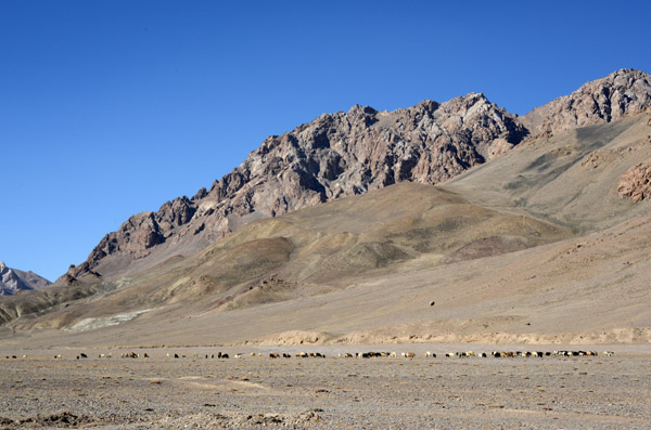
 Livestock grazing on the valley floor along the Pamir Highway |
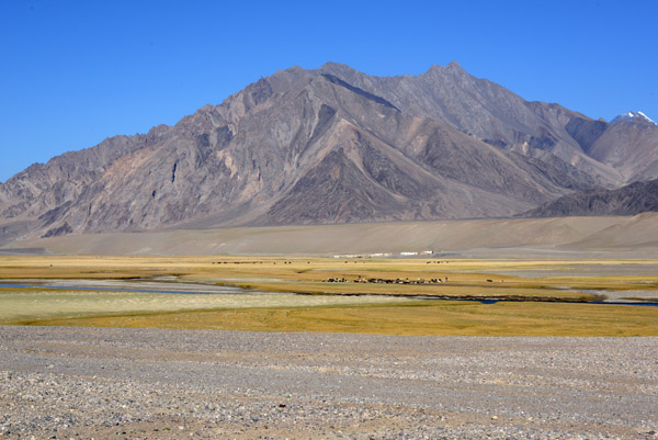
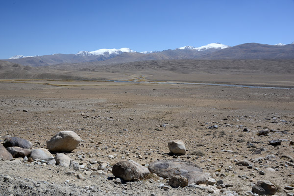
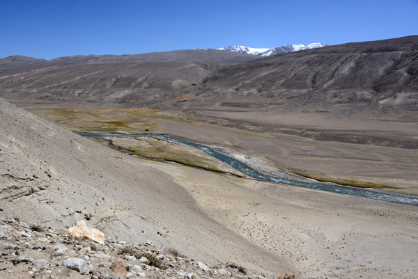
 High valley of the Murghab River at 11,745ft MSL |
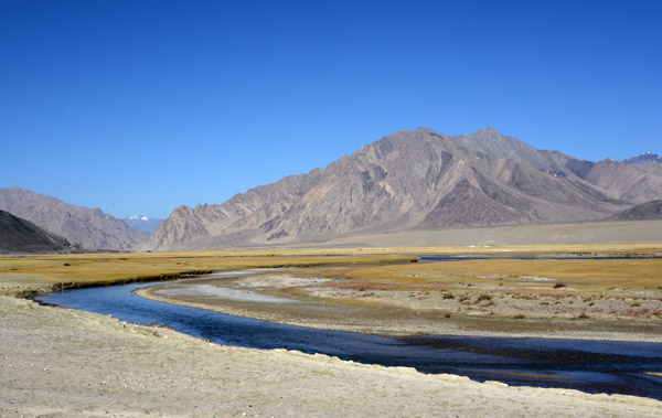 The 850 km long Murghab River will never reach the sea. It dies in the deserts of Turkmenistan |
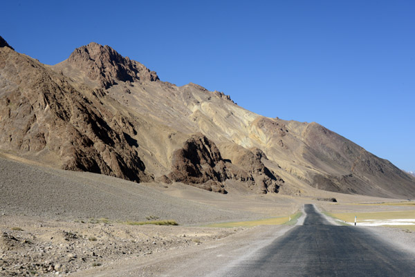 This section of the Pamir Highway is paved and in good condition |
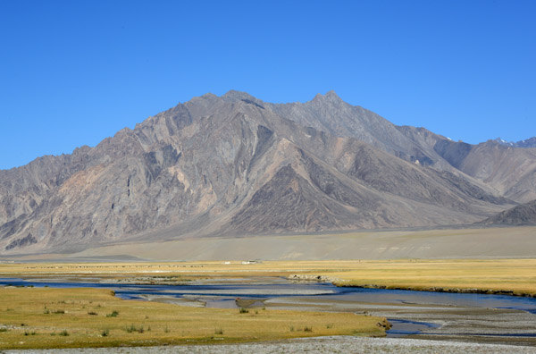
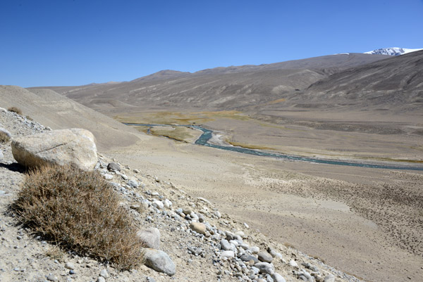
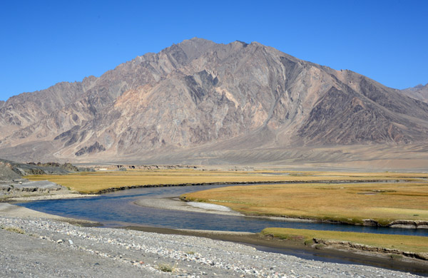 Murghab River, GBAO |
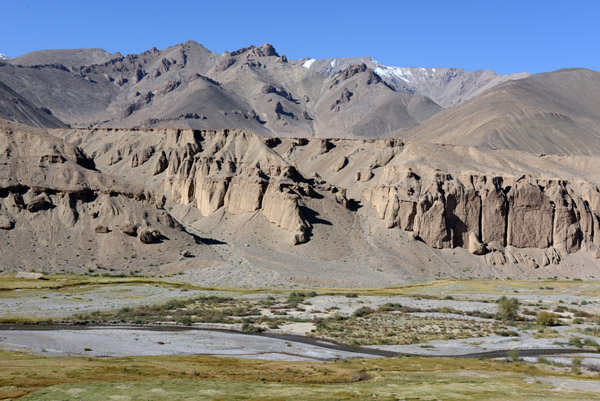
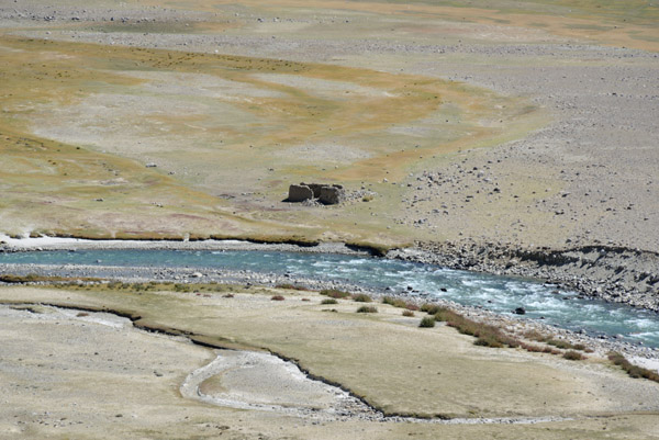
 Grasslands on either side along this bend in the Murghab River, lush vegetation for the Pamirs |
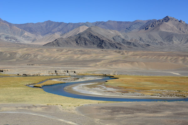
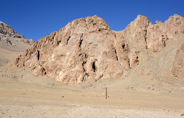
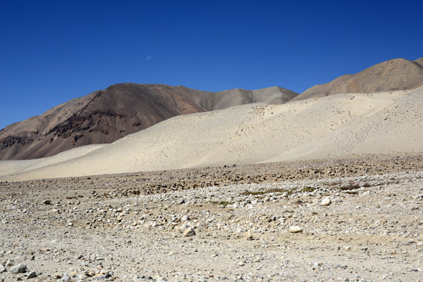
 Just a short distance from the river, the arid rocky landscape resumes |
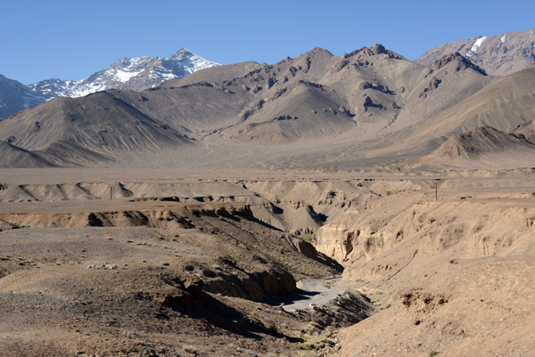 A small canyon with some of the high Pamir peaks in the distance |
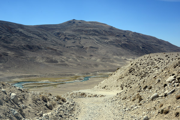
 The Pamir Highway climbs away from the Murghab River and its grassy valley |
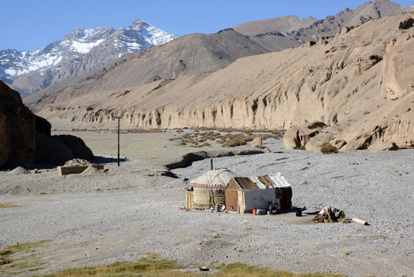 A yurt and small hut along the Pamir Highway |
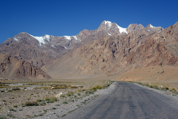
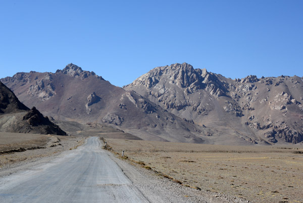
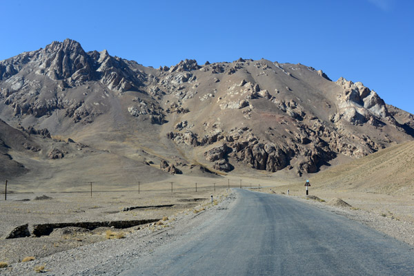
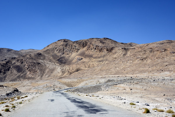
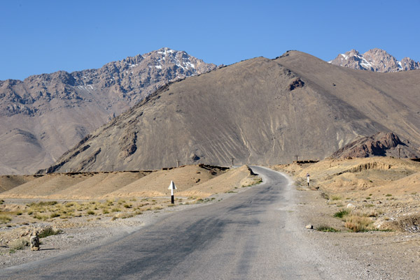 Pamir Highway |
 There's not much traffic on the Pamir Highway |
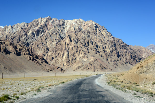 Pamir Highway |
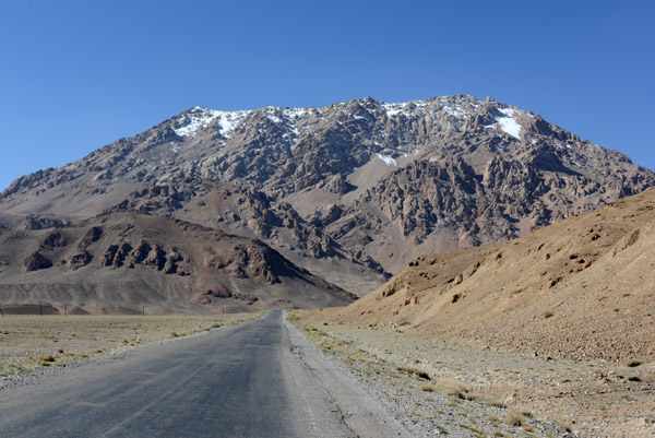
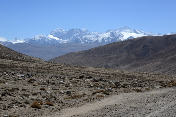
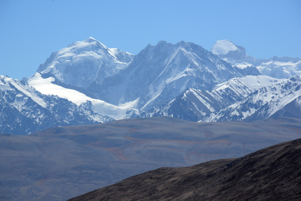
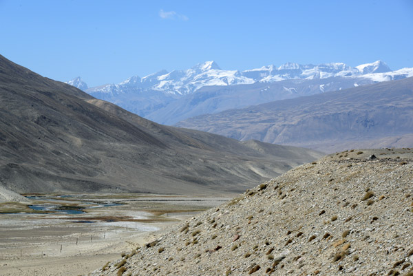
 The Pamirs, rising from the high plateau, are just a taste of the stunning Hindu Kush to come |
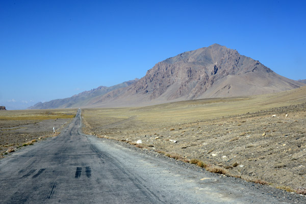
 Pamir Highway |
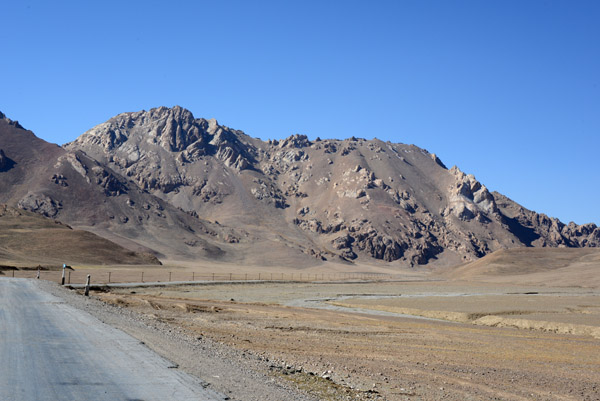
 Pamir Highway |
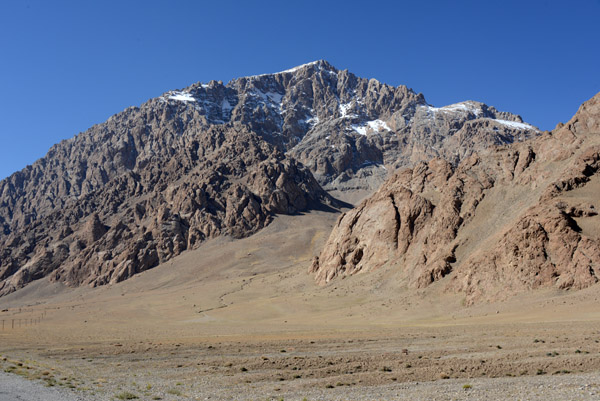 The Pamirs are a high mountain range at the junction of the Himalayas with the Tian Shan, Karakoram, Kunlun, and Hin |
 The Pamir Mountains - the Roof of the World |
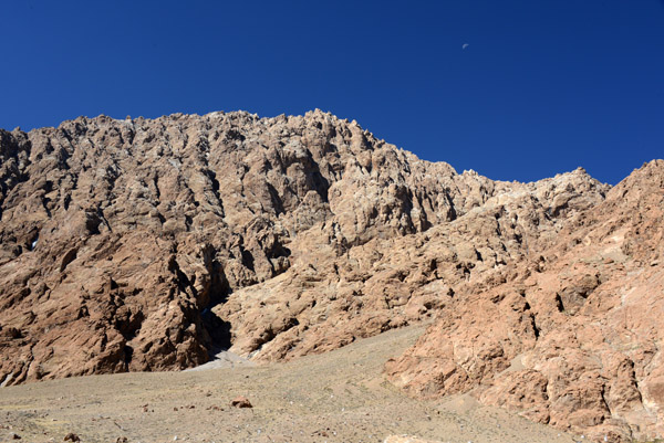 Blue sky and crisp cool mountain air |
 Livestock grazing in the arid valley |
 Pamir Highway |
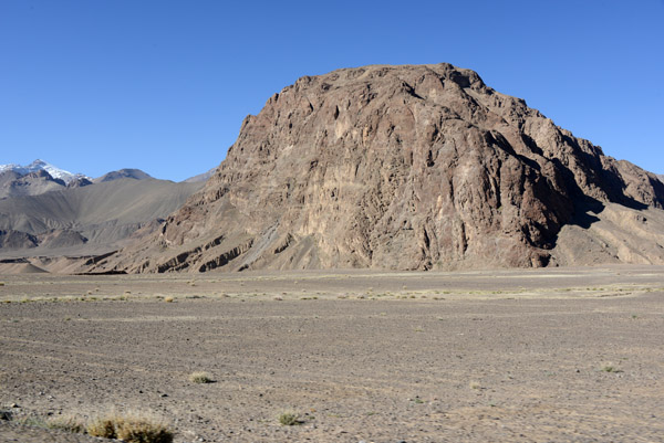
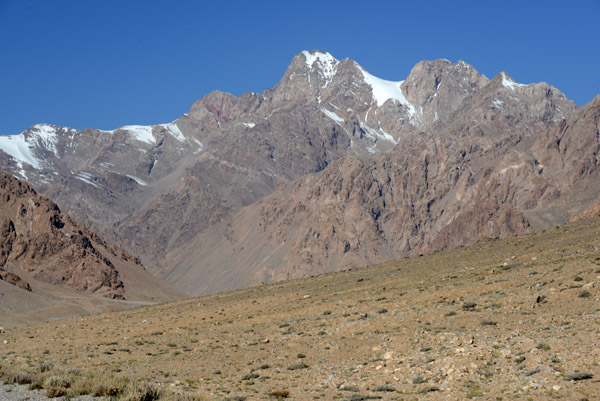
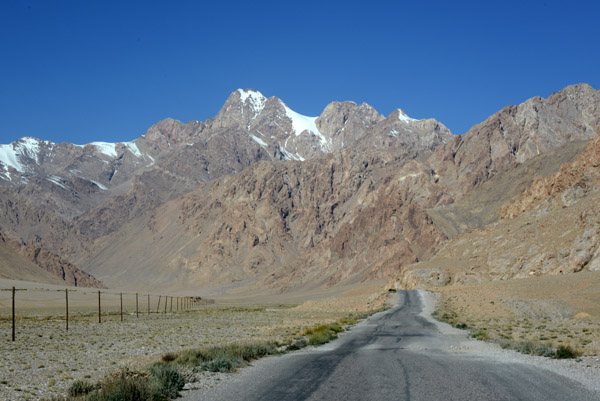
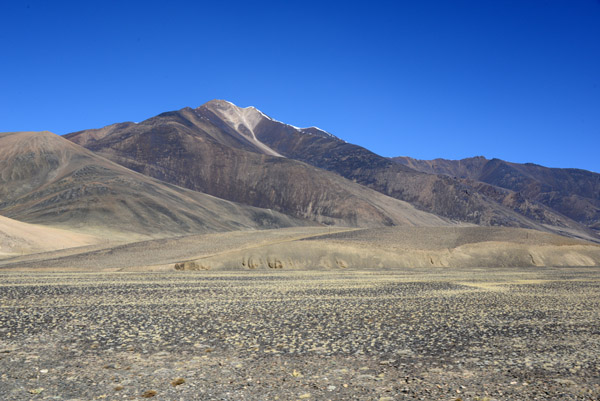
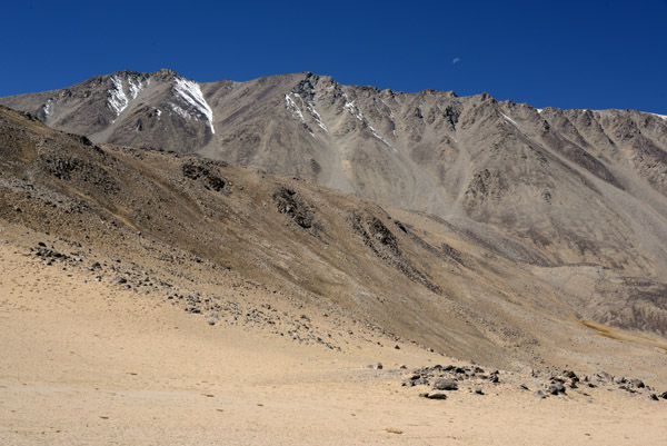
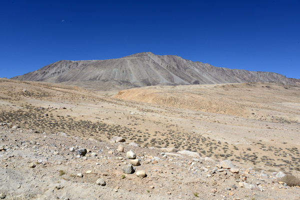
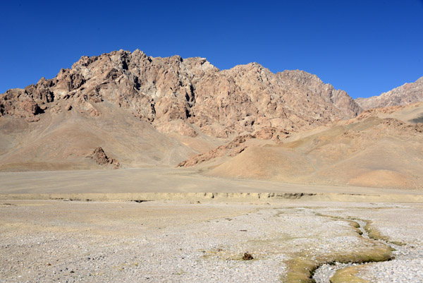 Scenery of the Pamirs |
 There's a sign km 137 which must be from the Kulma Pass leading to China |
 Naizaitash pass on the Pamir Highway, km 139 |
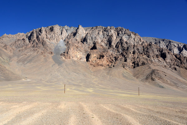
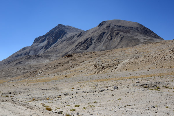
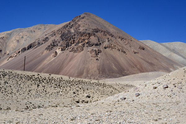
 A dark, nearly black mountain rises to 5240m/17200ft from the flat plain |
 Pamir Highway descending the east side of Naizaitash pass |
 Along the Pamir Highway |
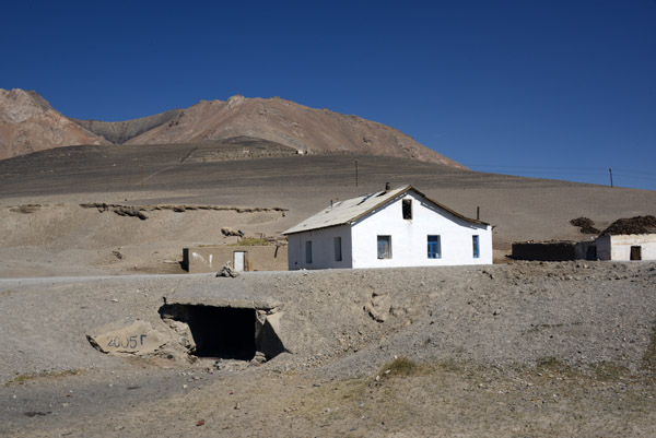 Small overpass on the Pamir Highway dated 2005 |
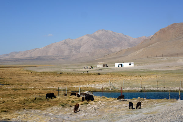 Sheep by a waterhole with a small house and yurt in the back ground |
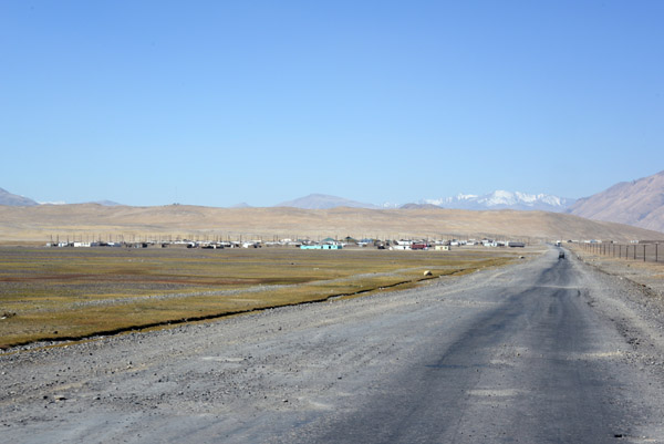 Approaching the large Pamir Highway village of Alichur |
 Breaktime in Alichur |
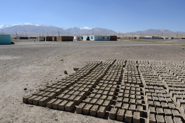 Mud bricks drying int he sun, Alichur |
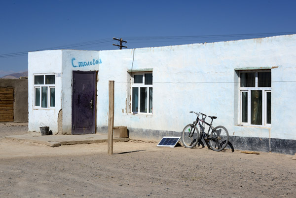 Stolovaya, a small guesthouse in Alichur |
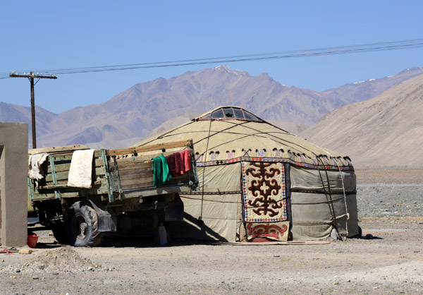 A yurt in Alichur |
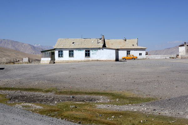 Alichur - another small restaurant/hotel |
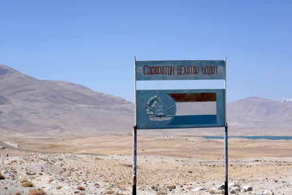 Safe Ride! |
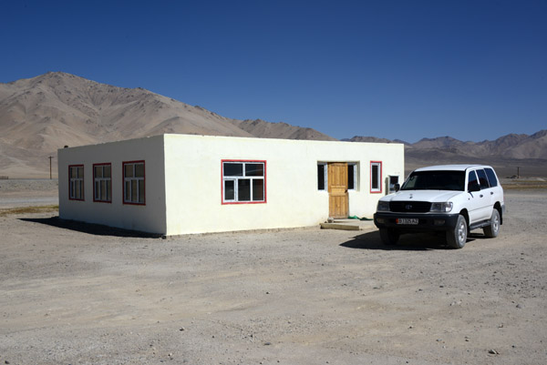
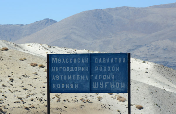 Vehicle Maintenance Facility Shugnon District |
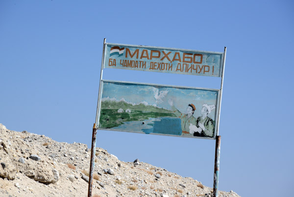 Marhaba - Welcome to Alichur |
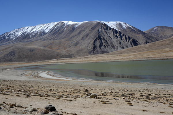
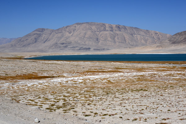 Sassykul Lake, a few km southeast of Alichur along the Pamir Highway |
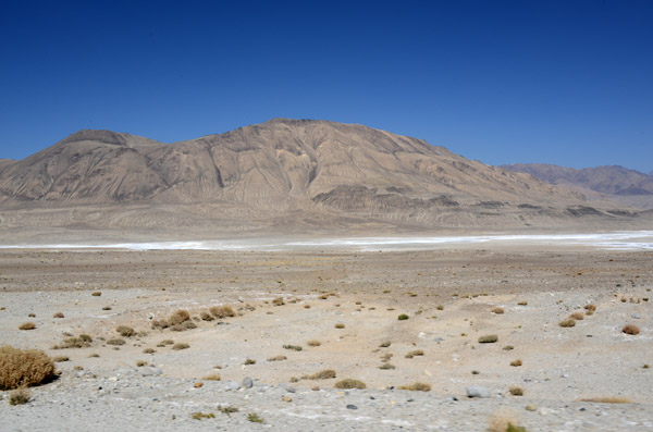 Salt pan near Sassykul |
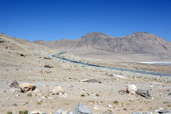
 Here, around km 217, the paved Pamir Highway heads westward towards Khorog |
 125km from Murghab and 313km from the Kyrgyzstan Border, we leave the Pamir Highway for the Wakhan Valley |
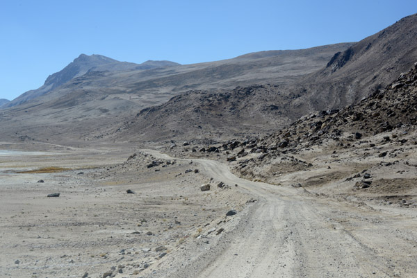 The quality of the road diminishes significantly for the 30 km drive to Khargush on the border with Afghanistan |
 Mountains along the road to Khargush |
 The rough dirt road from the Pamir Highway to Khargush |
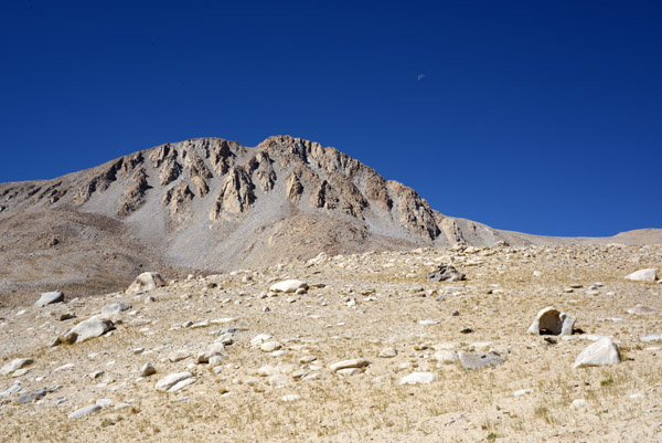 Southern Alichur Range of the Pamir Mountains |
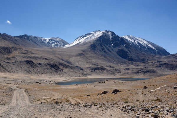
 Chukurkul Lake at 13,000 ft MSL |
 Southern Alichur Range of the Pamir Mountains |
 Khargush Pass, 4344m |
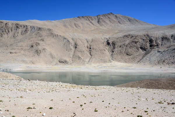
 Khargush Lake at 14,000 ft MSL |
 Descending to Khargush as Afghanistan comes into view with Kohe Belandtarin (6286m/20,623 ft) on the far right |
 Mountains of the Wakhan Corridor in Afghanistan |
 The small river in the distance is the Pamir River, a tributary of the Panj, which forms the Tajik-Afghan border |
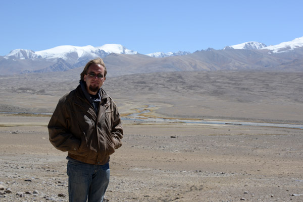 Steven with Pamir River and Afghanistan |
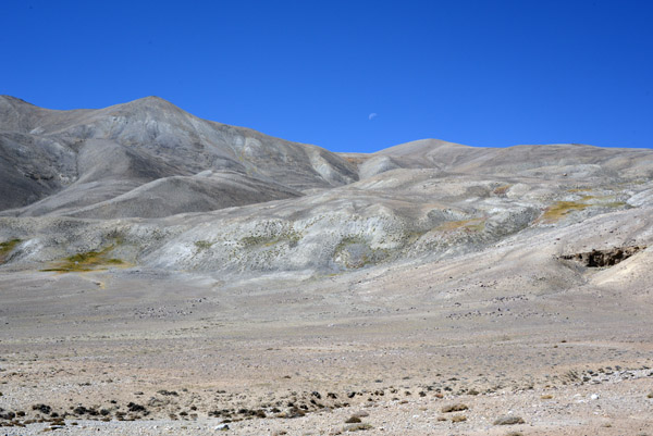 A crescent moon over the mountains |
 Descending to the Pamir River by Khargush, Tajikistan |
 A crumbling stone ruin in Afghanistan, perhaps an ancient caravanserai |
 Looking down the valley of the Pamir River towards the Hindu Kush whose ridge forms the border between Afghanistan and Pakistan |
 The rough road down to the Pamir Valley |
 Pamir Valley at Khargush |
 Sand dunes at the base of the mountains covering the rock desert floor |
 Khargush didn't seem to be even a wide spot in the road |
| comment | share |