


|
|
|
|
|
|
| Brian McMorrow | profile | all galleries >> Europe >> Switzerland >> Oberalppass - Rheinquelle | tree view | thumbnails | slideshow |
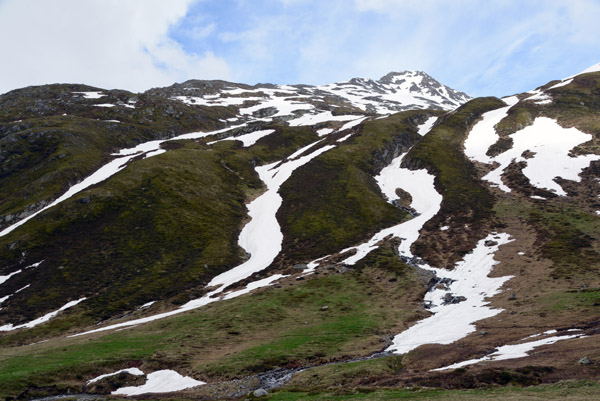
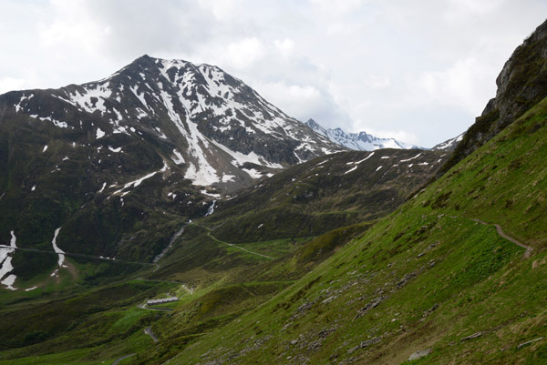
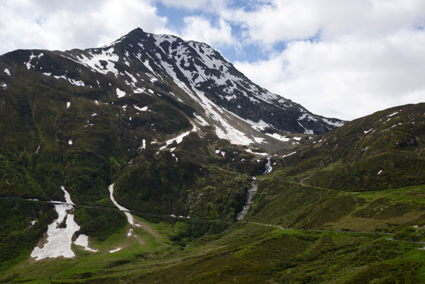
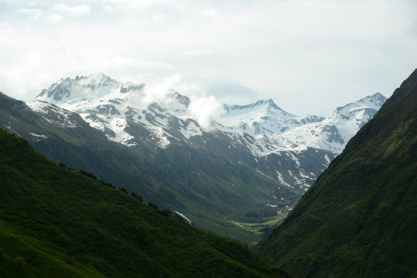 Piz Ravetsch (3007m/9,865 ft), Lepontine Alps |
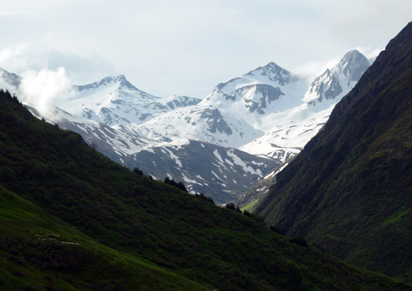 Piz Alv (2769m/9,084 ft), Lepontine Alps, tripoint Uri, Graubünden an |
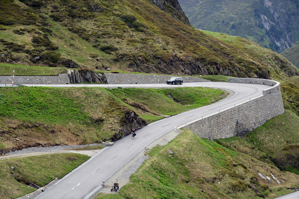
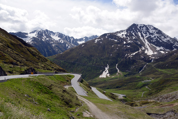
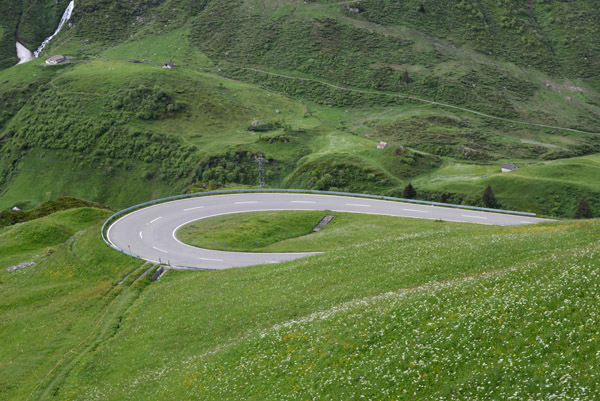 Hairpin turn on the Oberalpstrasse |
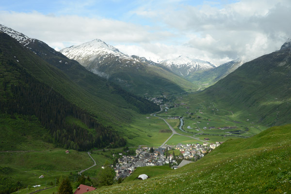 Andermatt from the train up to Oberalppass |
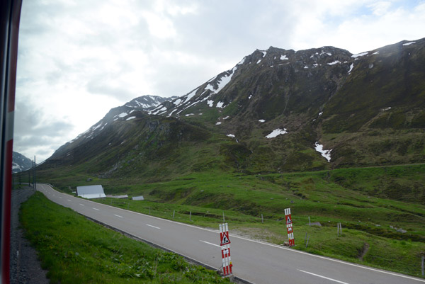 Oberalpstrasse |
 Oberalpresuss River |
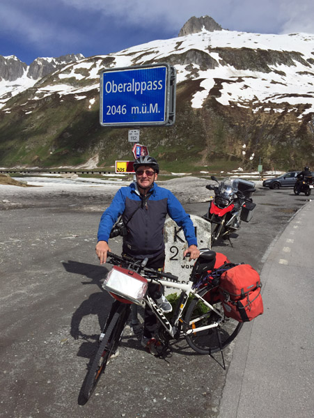
 Oberalppass |
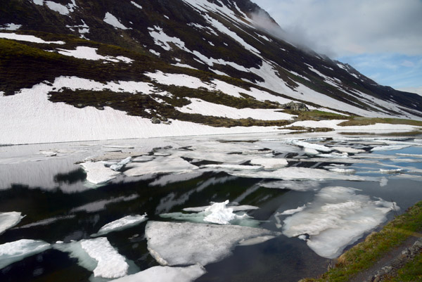 Ice on the Oberalpsee |
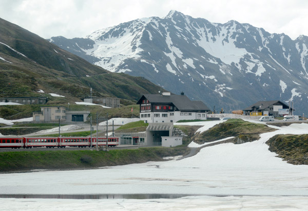 Oberalppass, the boundary between the Swiss cantons of Uri and Graubünden |
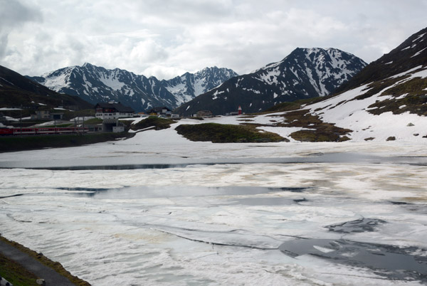 Oberalpsee |
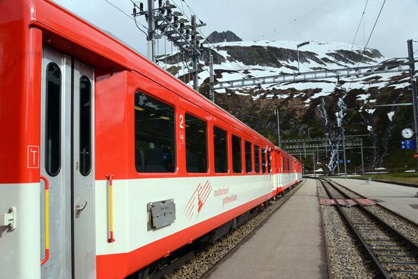 Matterhorn Gotthard Bahn, Oberalppass Station |
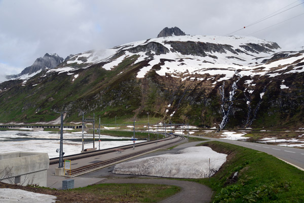 Oberalpstrasse and Railway, Switzerland |
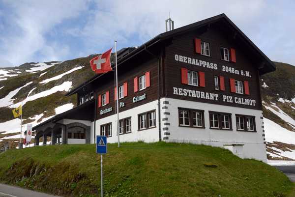
 Restaurant Piz Calmot, Oberalppass (2048m) |
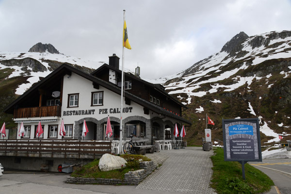
 Restaurant Piz Calmot, Oberalppass (2048m) |
 Restaurant Piz Calmot, Oberalppass (2048m) |
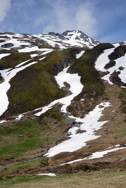
 Alpine ridge north of the Oberalpsee |
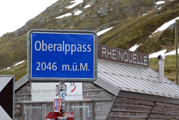 Rheinquelle - Source of the Rhine, Oberalppass (2046m) |
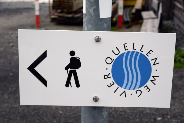 Vier Quellen Weg - 4 Sources, Oberalppass |
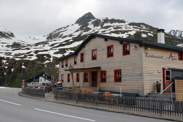 Restaurant Alpsu, Tujetsch, Oberalppass |
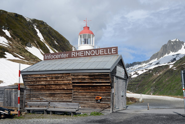
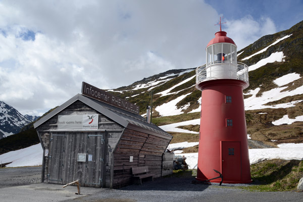
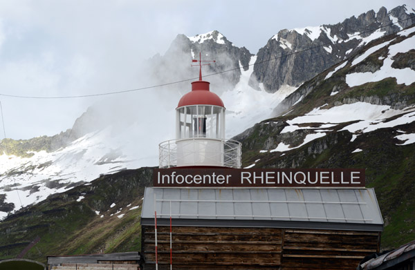 Infocenter Rheinquelle, Oberalppass |
 The nearby Tomasee is the official source of the Rhine River |
 Two branches of the Rhine - Vorderrhein and Hinterrhein, meet at Bonaduz, Grisons |
 Oberalppass |
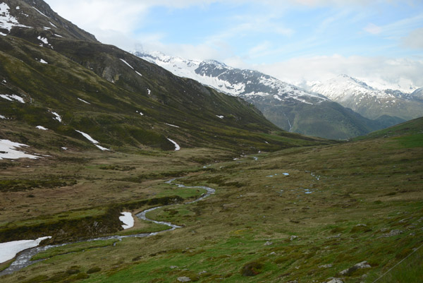
 It's a 6 km hike from Oberalppass to Lake Toma, the source of the Rhine |
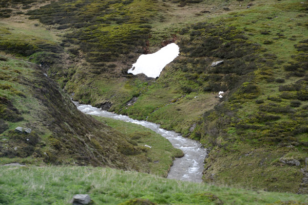
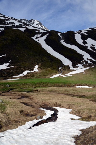
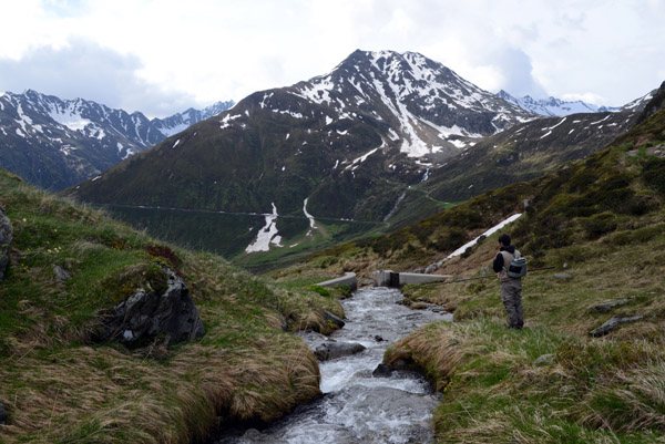
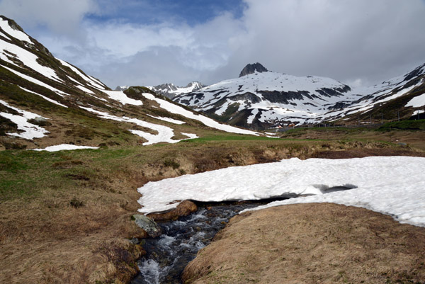
 Stream flowing down from the Oberalppass |
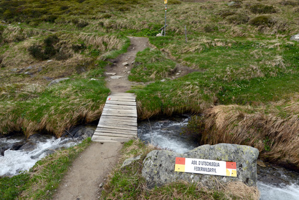 Federwildasyl - Asia D'Utschleglia, Oberalppass |
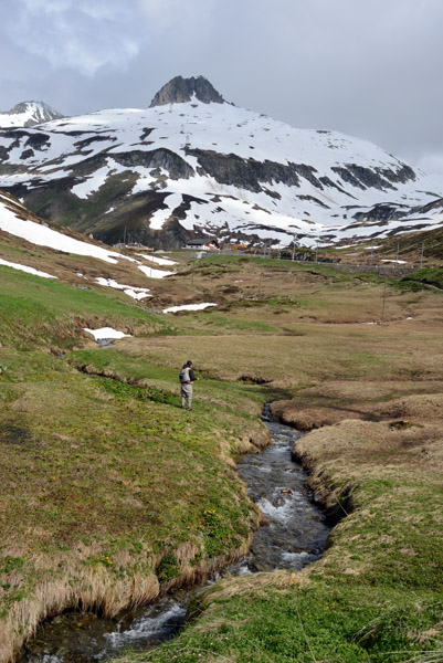
 Fishing in a tiny mountain stream, Oberalppass |
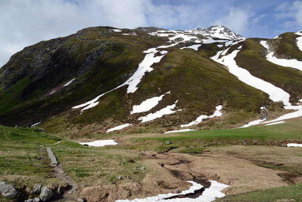
 Hiking trails, Oberalppass |
 Via Alpsu, Canton Graubünden (Grisons) |
 Rheinradweg cycle route, Oberalppass |
 Via Alpsu, Romansch for Oberalpstrasse |
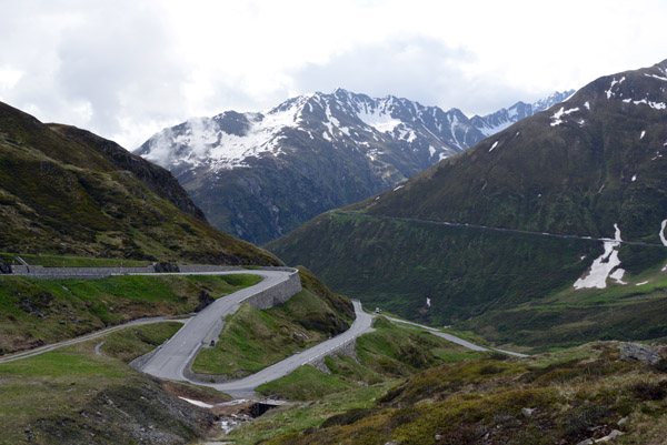
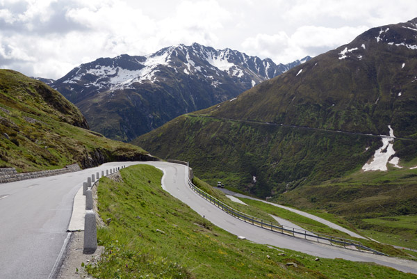
 Road descending the east side of the Oberalppass |
 Road descending the east side of the Oberalppass |
 Mountain track to Lake Toma, the source of the Rhine |
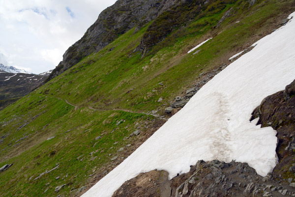 Snowfield blocking the track to Lake Toma, source of the Rhine |
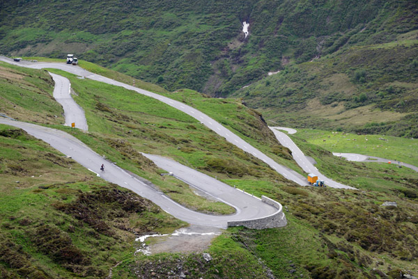
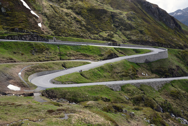 Hairpin turns descending from the Oberalppass |
 Vier-Quellen-Weg, Oberalppass |
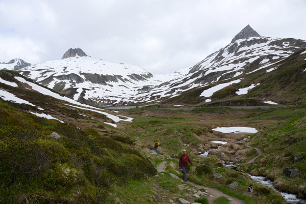
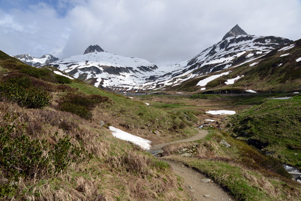 Hiking path from Oberalppass to Lake Toma, Source of the Rhine |
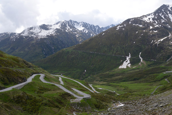
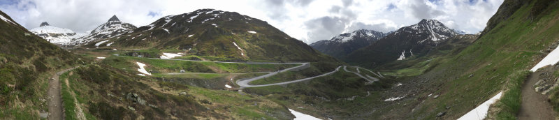 Panorama of the Vier-Quellen-Weg and Oberalpstrasse (Via Alpsu), Graubünden |
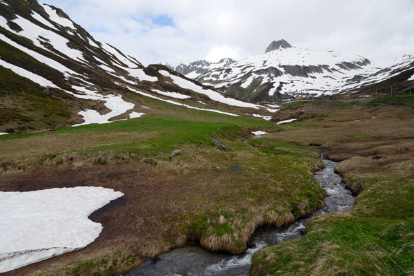
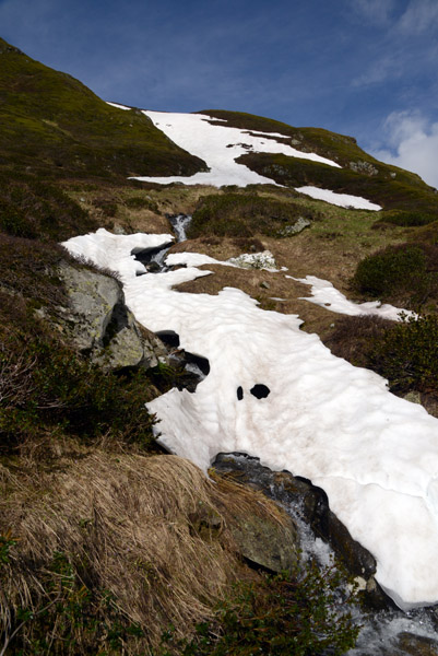 Snowmelt in June, Oberalppass |
 Laj da Tuma, Vier-Quellen-Weg, Oberalppass hiking |
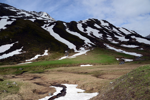
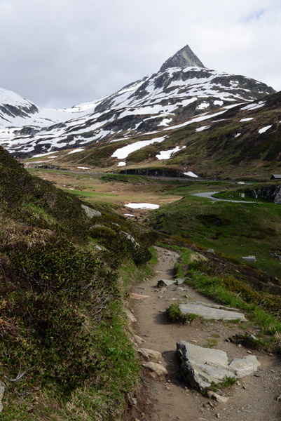
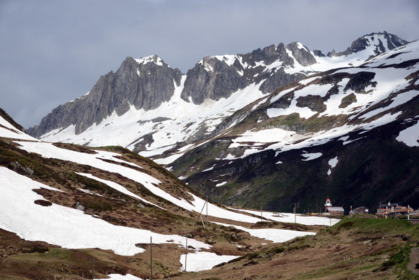
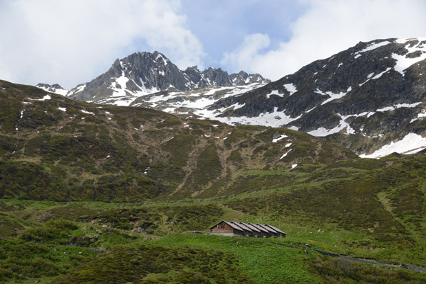
 Piz Tiarms, Oberalppass |
 Snowmelt in June, Oberalppass |
 Piz Tiarms, Oberalppass |
 Oberalppass, Canton Graubünden |
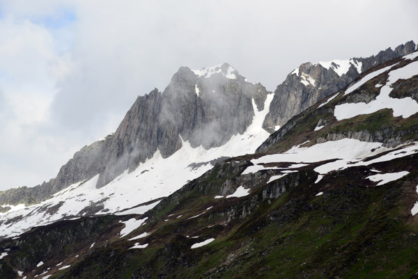
 Schijenstock (2888m), Oberalppass |
 Oberalppass |
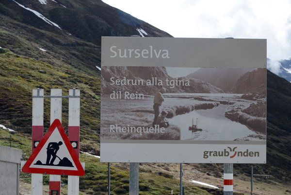 Surselva - Rheinquelle, Canton Graubünden |
 The Rhine flows 1230km from here to the North Sea |
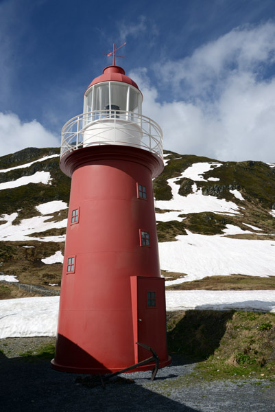 Lighthouse at the Source of the Rhine |
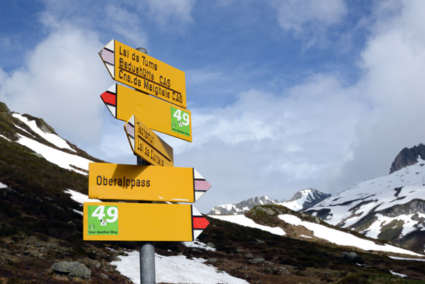
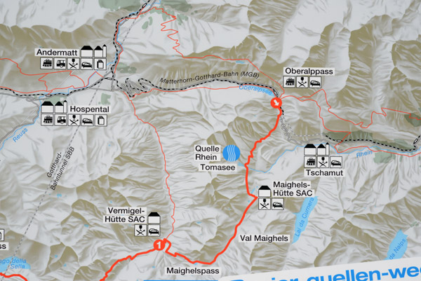 Map of the start of the Vier-Quellen-Weg |
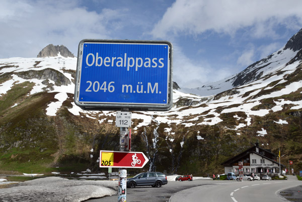 Oberalppass (2046m) |
 1st sector of our cycling trip - Rheinquelle to Rheinfall, Switzerland |
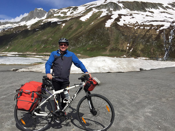
 Me with Scotty at the Oberalppass |
 Indolenter Rheinquelle, Oberalppass |
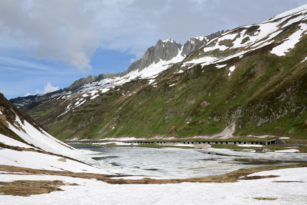 Oberalpsee |
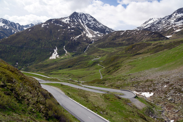
 Downhill run from Oberalppass |
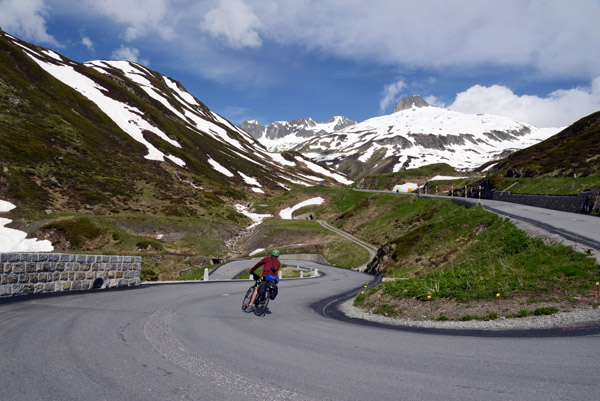
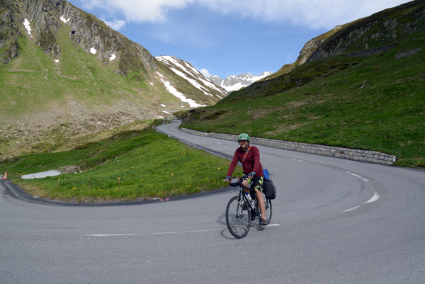
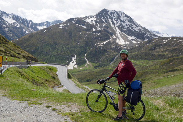 Keith on his Cannondale at the Oberalppass |
 Start of 93km from the Oberalppass to Chur |
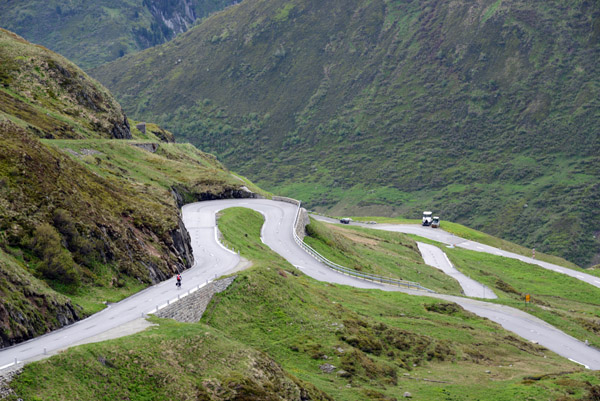
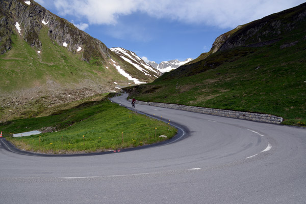
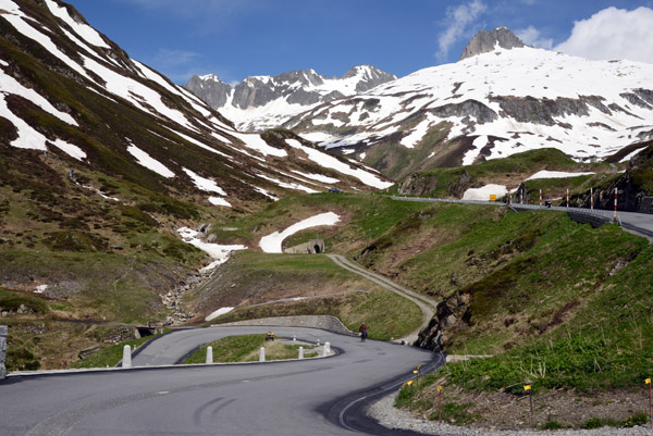 Serpentine road from the Oberalppass |
 Serpentine road from the Oberalppass |
 Hairpin bend on the Oberalppstrasse, Graubünden |
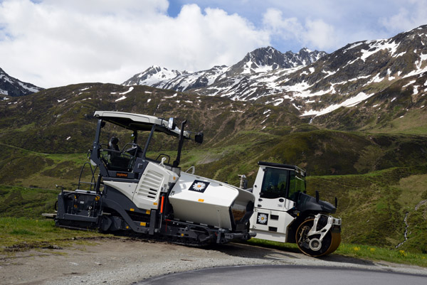 Road maintenance equipment, Oberalppass, Graubünden |
 Even with all the downhill, we still climbed 1592m on the Rheinradweg to Chur |
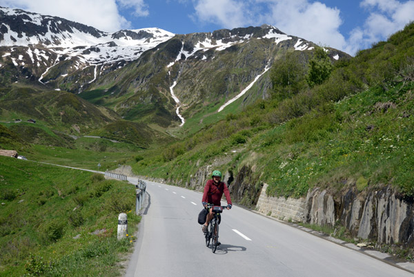
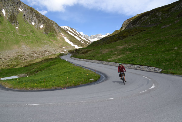 Keith cycling downhill, Oberalppass |
 Keith cycling downhill, Oberalppass |
 Piz Cavradi (2612m/8,569 ft), Lepontine Alps |
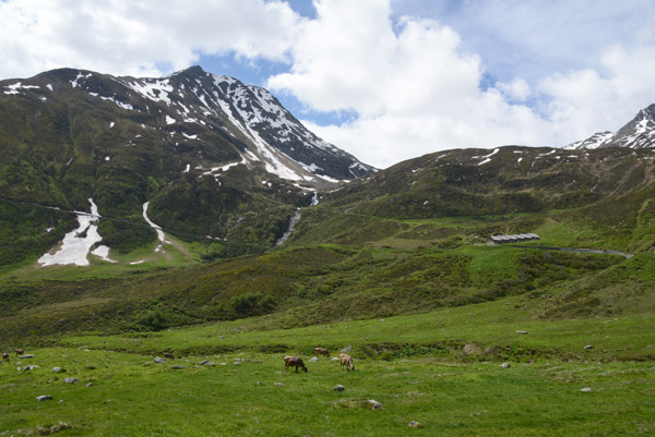 Alpine meadow with cows grazing, Oberalppass |
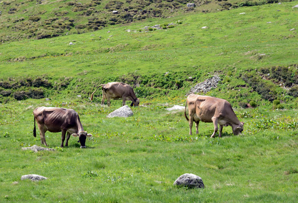 Alpine meadow with cows grazing, Oberalppass |
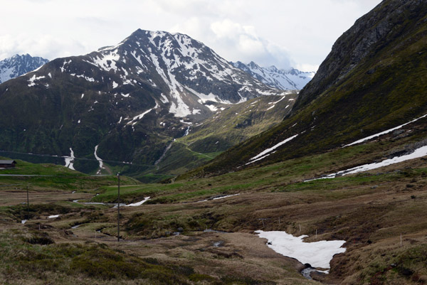
 The Tomasee, source of the Rhine, is below the left peak |
 Rheinradweg - Oberalpstrasse (Via Alpsu), Graubünden |
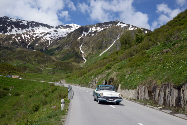 Classic 1957 Studebaker (GR12764), Oberalpstrasse, Graubünden |
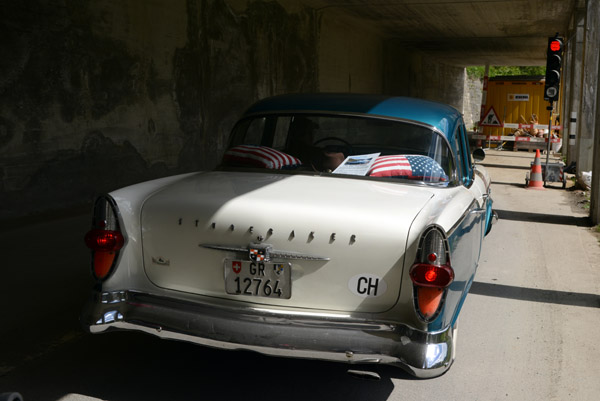 Classic 1957 Studebaker (GR12764), Oberalpstrasse, Graubünden |
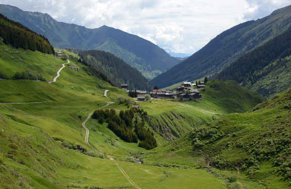 Tujetsch, Canton Graubünden, Switzerland |
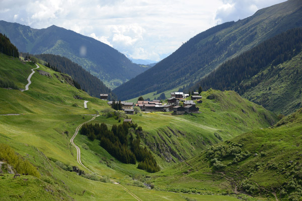 Tujetsch, Canton Graubünden, Switzerland |
| comment | share |