


|
|
|
|
|
|
| Brian McMorrow | profile | all galleries >> Asia >> China - 中国 >> Tibet - 西藏 (བོད་) >> Lhatse to New Tingri | tree view | thumbnails | slideshow |
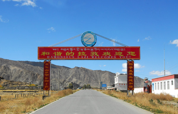 Harmonious Lazi (Lhatse) Welcomes You! |
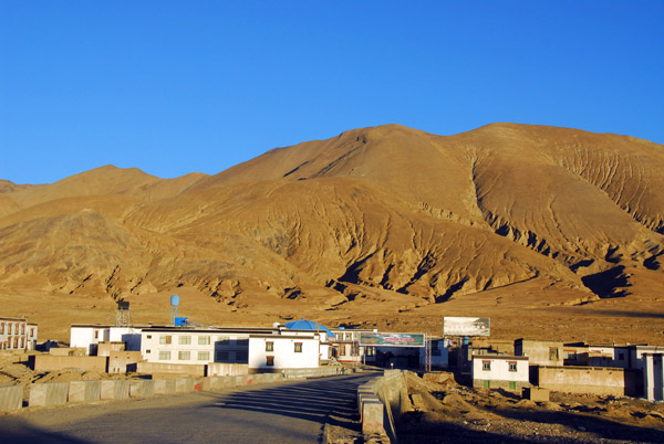
 Lhatse (La Zi) |
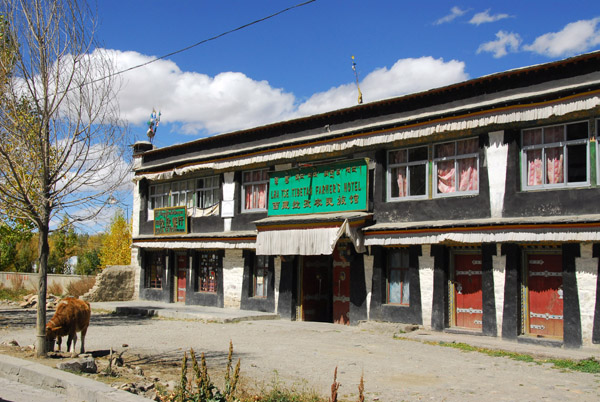
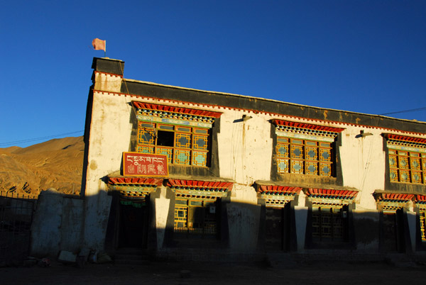
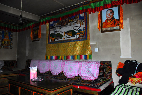
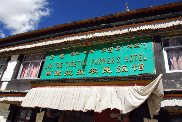 Lhatse Tibetan Farmer's Hotel |
 Unless you're at Tibetan Farmer, don't stay here! Disgusting toilet... |
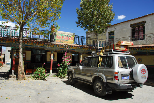
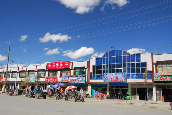
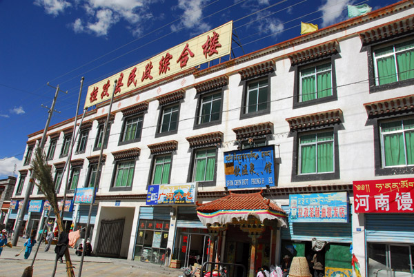
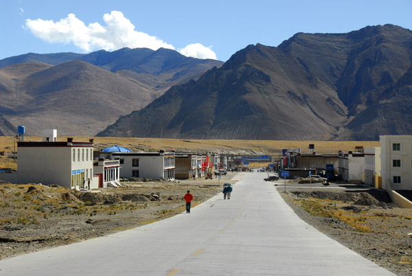
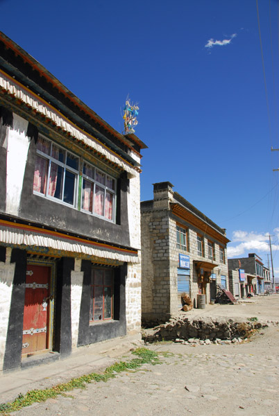 Lhatse, Tibet |
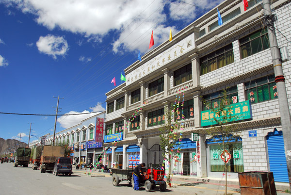 Friendship Highway as Main Street, Lhatse |
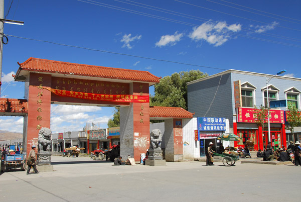
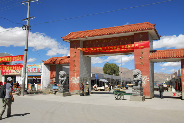 New Chinese gate in the center of Lhatse |
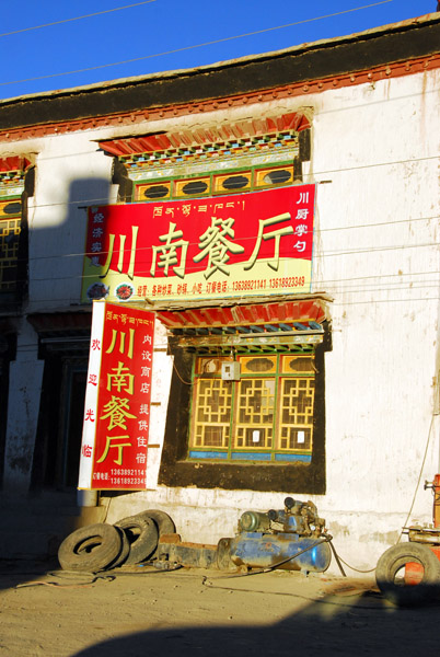
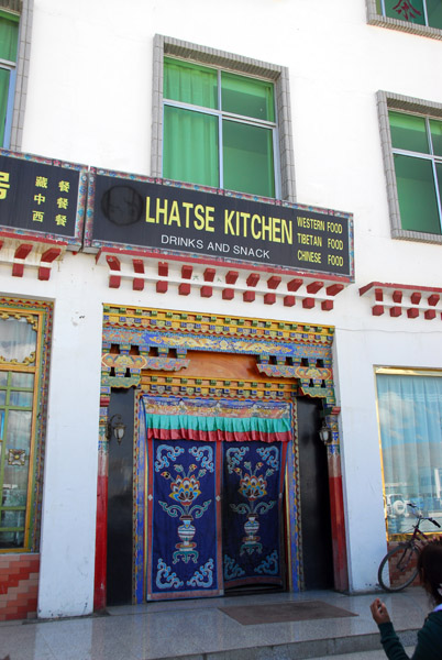 Lunch stop at Lhatse Kitchen |
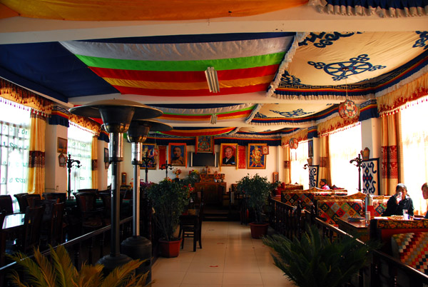 Tourist restaurant Lhatse Kitchen |
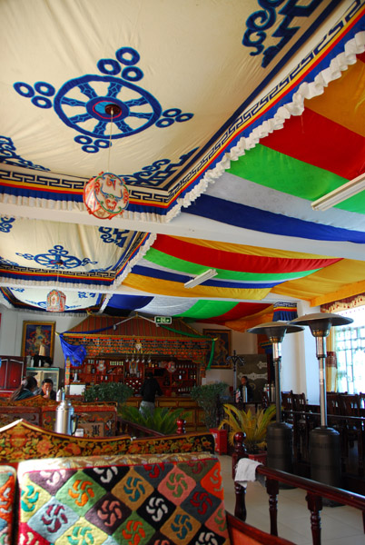 Lhatse Kitchen |
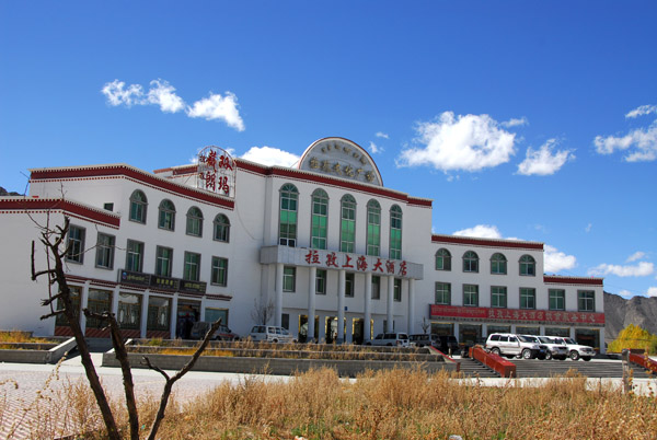 The new building where Lhatse Kitchen is |
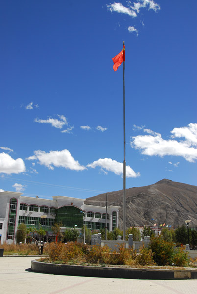 Chinese flag in the park in front of Lhatse Kitchen |
 I was annoyed at the guide and driver for taking so long at lunch after rushing me out of Sakya!!! |
 Wandering around Lhatse waiting for the guide and driver |
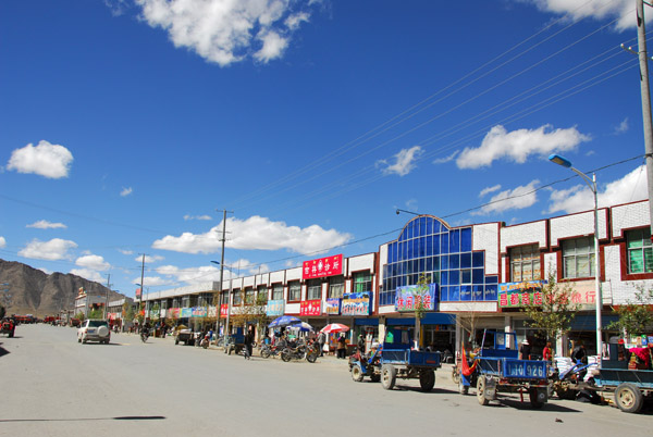
 Lhatse's Main Street |
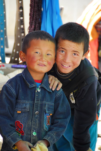 Kid in Lhatse |
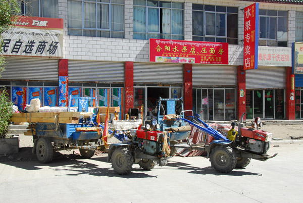 "Tractor Trailer" |
 Lhatse |
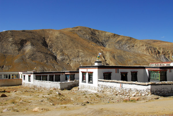
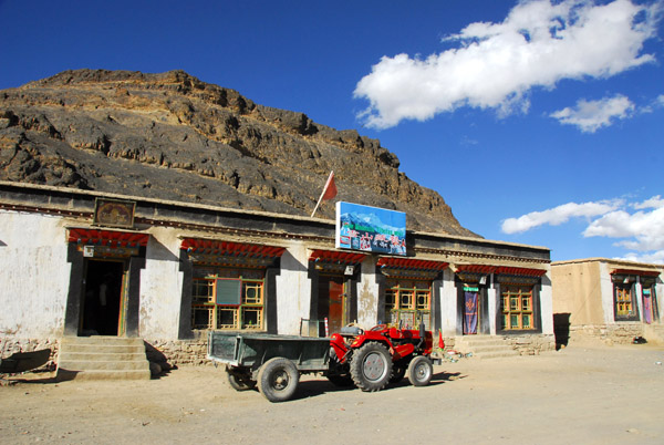
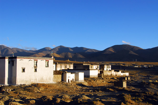
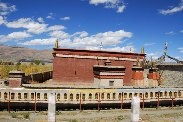 Small monastery at the west end of Lhatse |
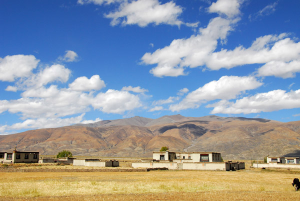 Valley west of Lhatse |
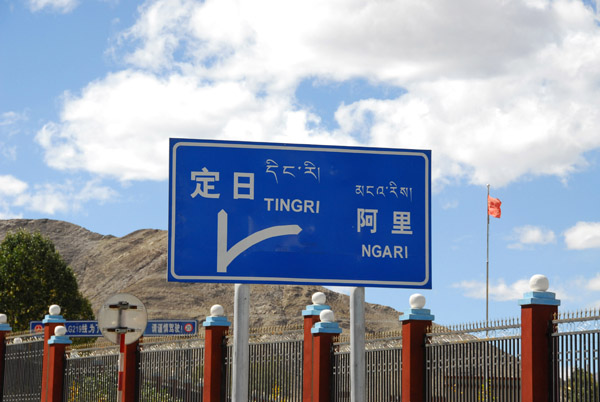 The road to Ngari splits off to the north from the Friendship Highway km 5058 |
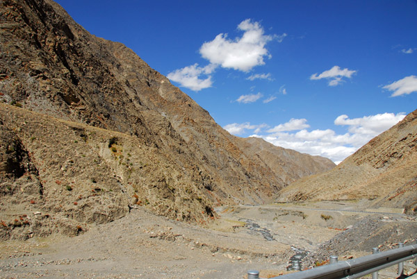
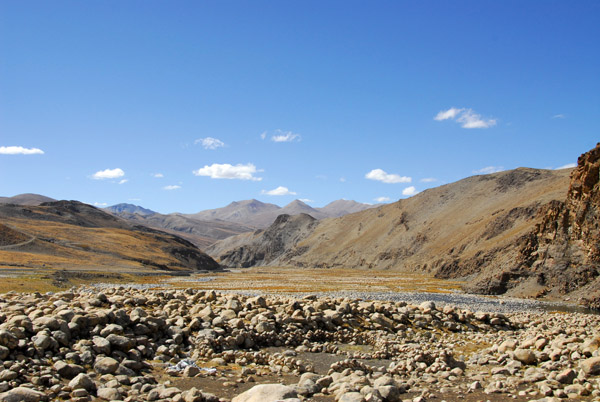
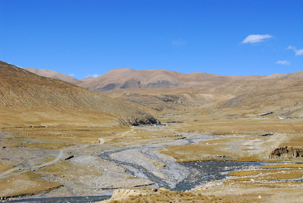
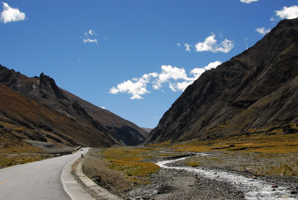 The Friendship Highway passing through a narrow river valley southwest of Lhatse |
 Valley southwest of Lhatse |
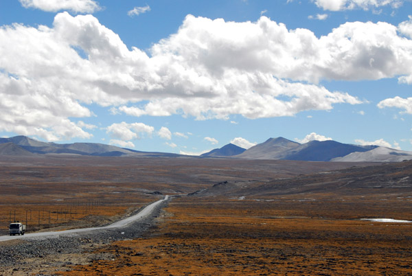
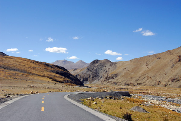
 The road starts to climb towards Gyatso-la Pass |
 The road from Lhatse to Gyatso-la Pass |
 Climbing towards Gyatso-la Pass |
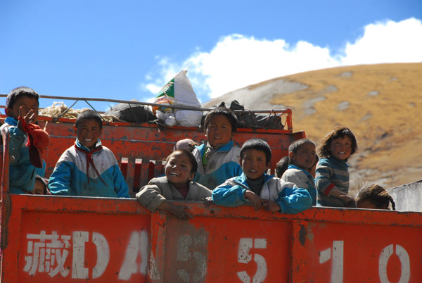 Tibetan school kids in the back of a truck |
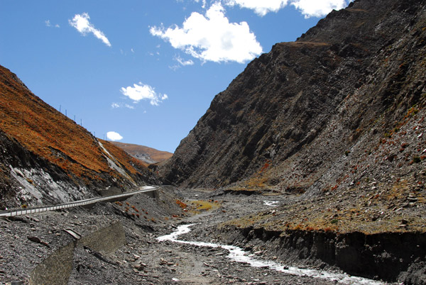
 Friendship Highway southwest of Lhatse |
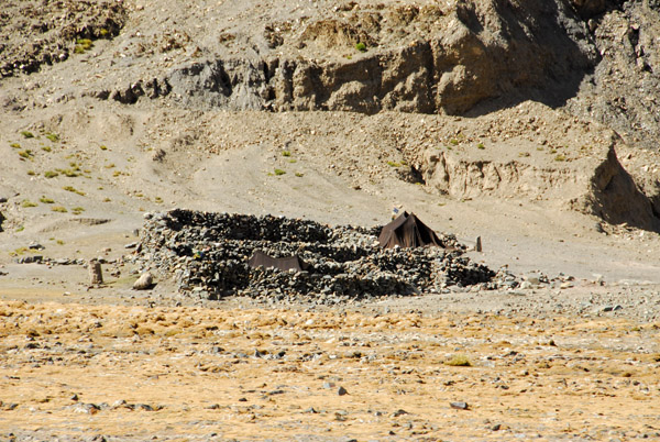 Ruins used as shelter from the wind for nomad tents |
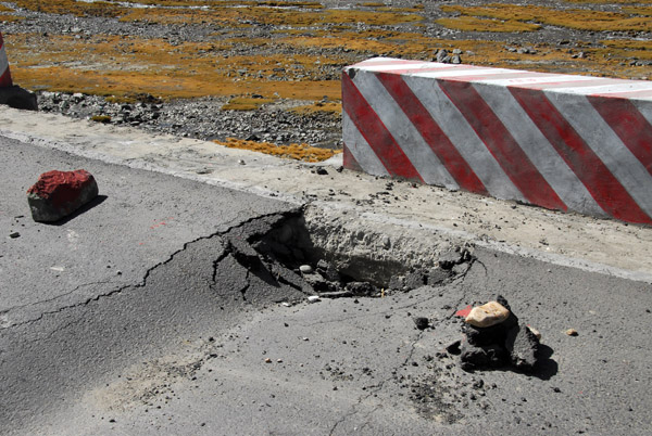 The newly paved road is already damaged... |
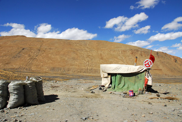 Tent of the Chinese road crew along the Friendship Highway |
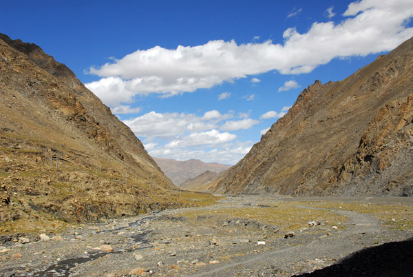
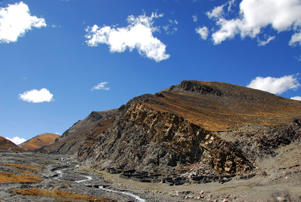
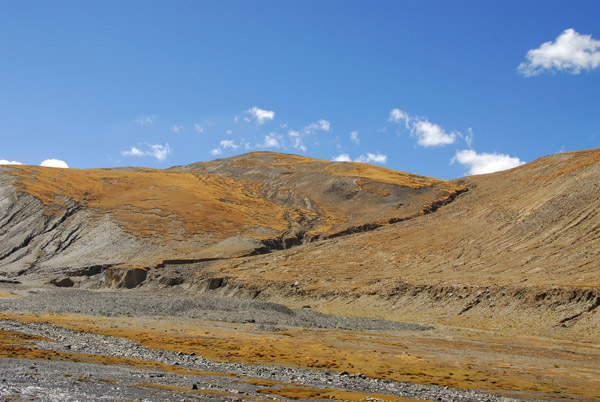
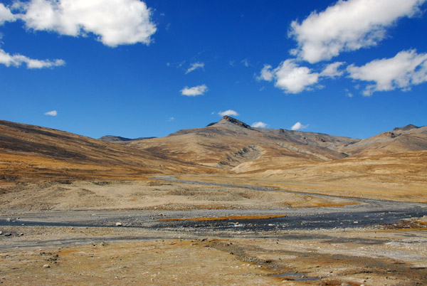
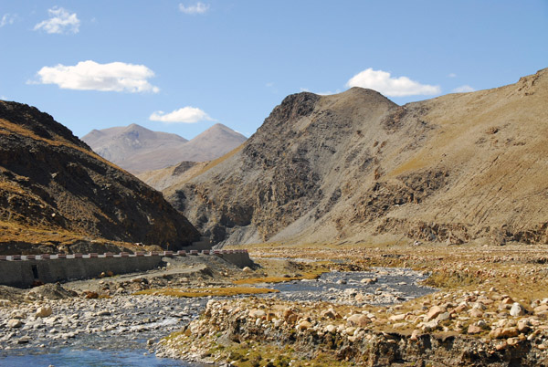
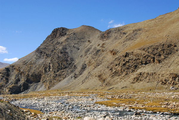
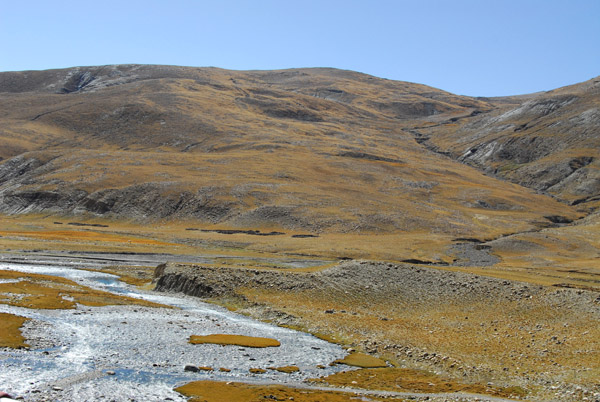
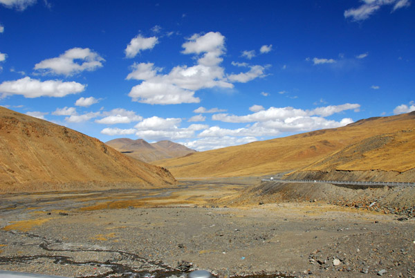 Valley between Lhatse and Gyatso-la Pass |
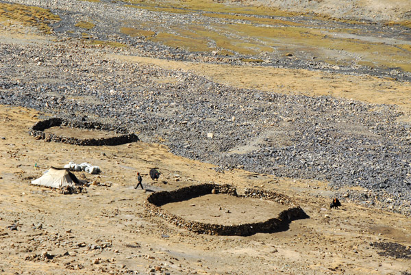 Stone enclosures for livestock in the highlands |
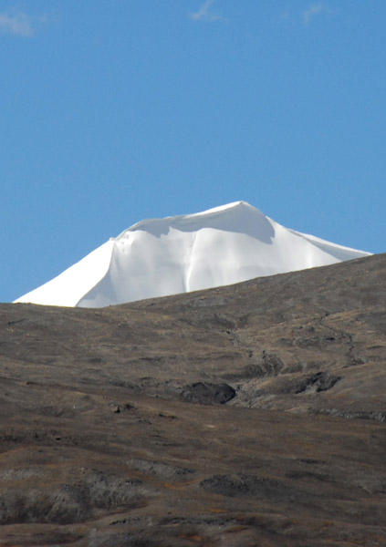 Snow capped peak comes into view |
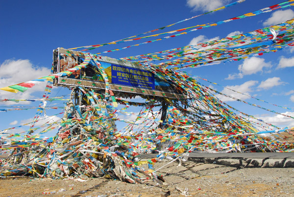
 Gyatso-la Pass 5220m (17,125 ft) |
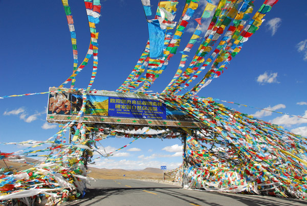
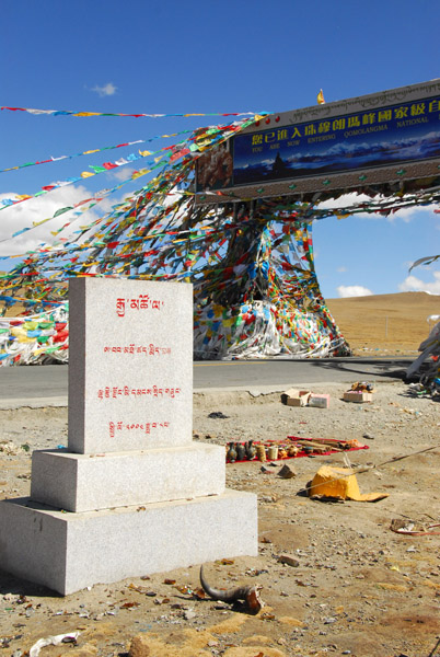
 Gyatso-la Pass marks the boundary to Qomolangma National Nature Preserve |
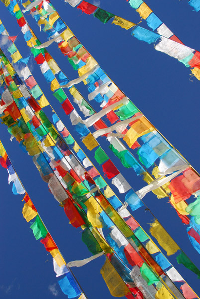 Prayer flags, Gyatso-la Pass |
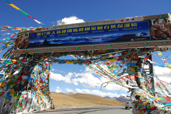 You Are Entering Qomolangma National Nature Preserve, Gyatso-la Pass 5220m (17,125 ft) |
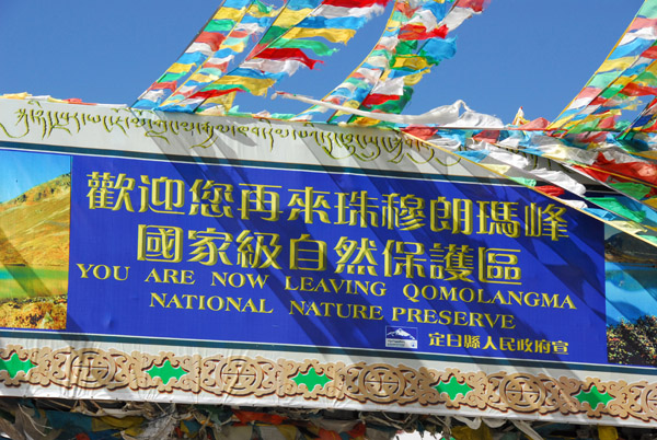
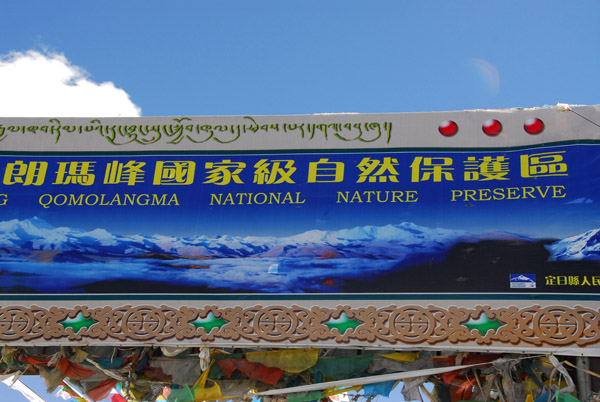 Qomolangma is the Tibetan name for Mt Everest and teh Nature Preserve covers 27,000 sqare km |
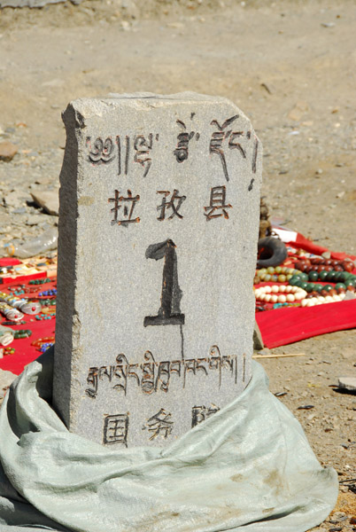
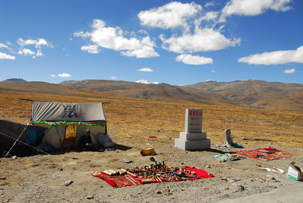 Intrepid souvenir seller next to a marker proclaiming an elevation of 5248m (17,217 ft) |
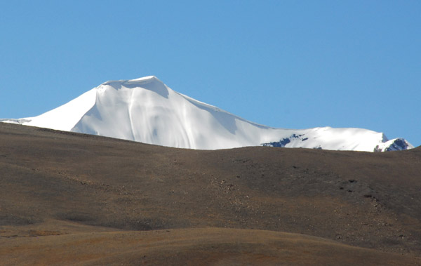 The snow covered peak of Mount Bula Ri 6320m (20,743 ft) |
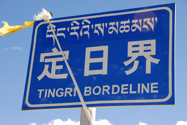 Gyanto-la Pass marks the county border between Shigatse and Tingri |
 Gyantso-la Pass |
 KM1? Gyanto-la Pass |
 It's so cold and windy here at over 17,000 feet I don't want to linger |
 The Friendship Highway continues its journey to the southwest towards New Tingri and Shegar |
 Qomolangma National Nature Preserve, Tibet |
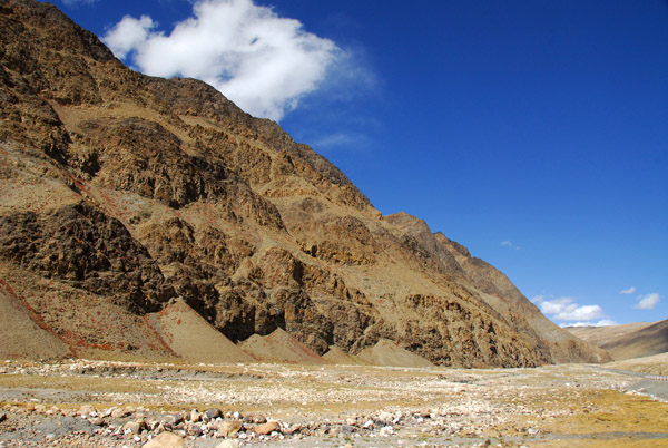 Descending from Gyantso-la Pass |
 Rocky valley |
 Friendship Highway southwest of Gyantso-la Pass |
 This water will enter Nepal east of Mt Everest in the Arun River, a major tributary of the Ganges |
 Gyantso-la Pass southwest to Shegar and New Tingri |
 Gyantso-la Pass southwest to Shegar and New Tingri |
 Gyantso-la Pass southwest to Shegar and New Tingri |
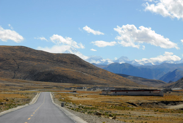 The first view of Mt Everest appears, Friendship Highway km 5114 |
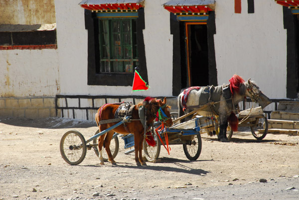 The carts pulled by the horses can be split off from the front wheels |
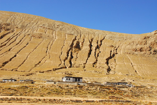
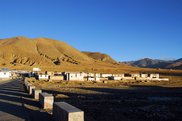
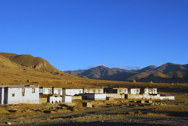
 Village along the Friendship Highway |
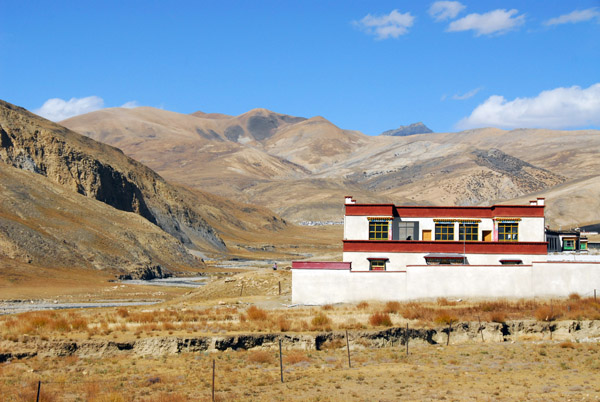 Village along the Friendship Highway |
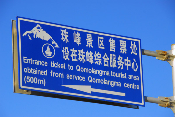
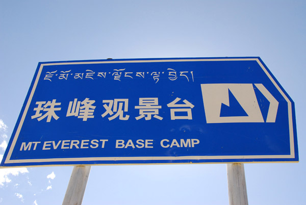 Sign pointing to Mt Everest Base Camp, Friendship Highway |
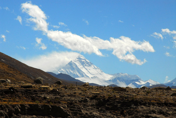 Distant view of Mt Everest, the world's tallest mountain 8848m (29,029 ft) |
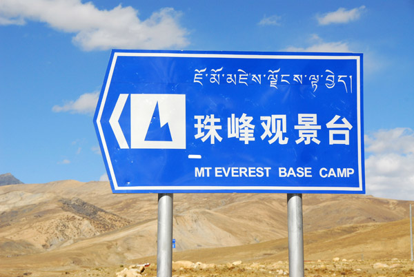 Roadsign for Mt Everest Base Camp, Tibet |
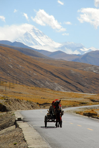 Horse cart with Mt Everest in the background |
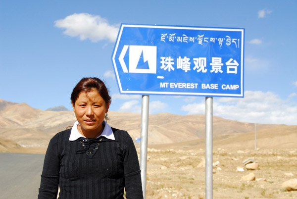 My Tibet guide, Lamu |
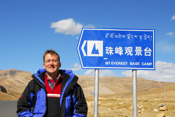 Me, Everest Base Camp, almost... |
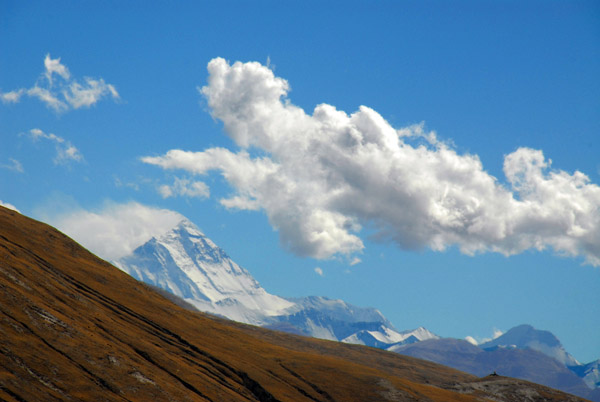 Mount Everest, about 85 km away |
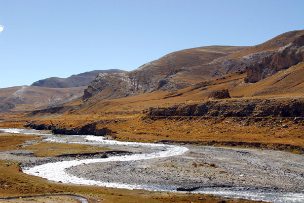 River on its journey to the Bay of Bengal via the Arun River of Nepal and the Ganges |
 Deeply eroded hillside |
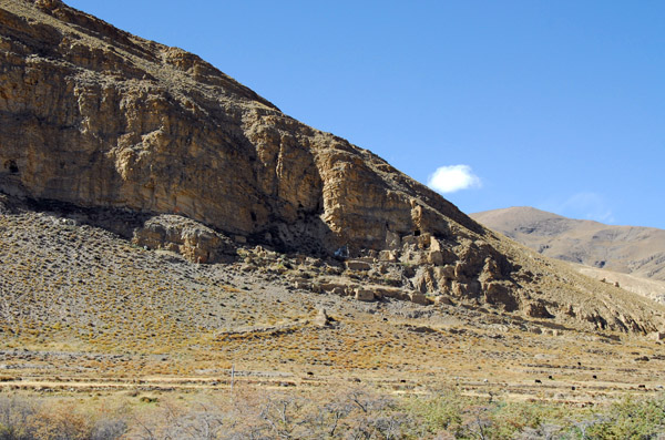
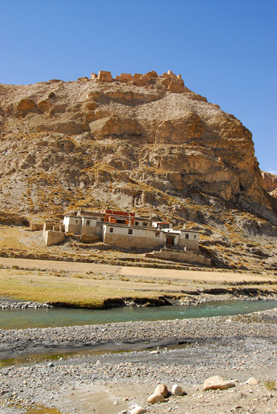 Riverside nunnery at km 5124 with the ruins of a mountaintop fortress |
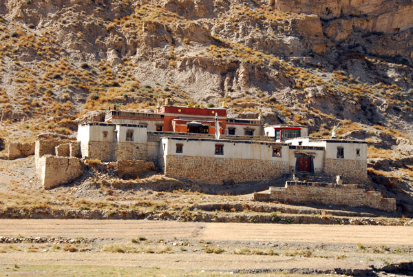 Nunnery at Friendship Highway km 5124 |
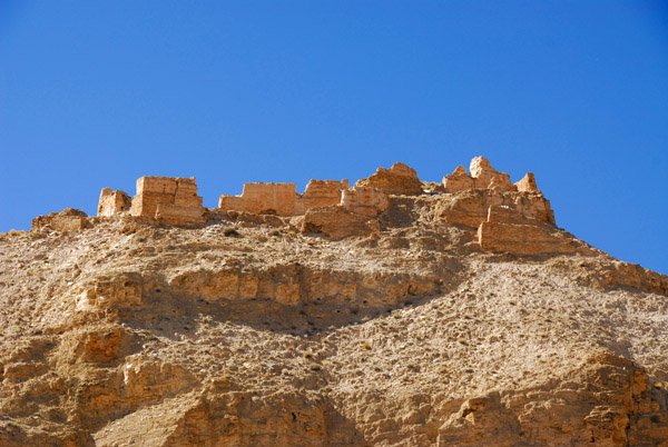 Fortress ruins at Friendship Highway km 5124 |
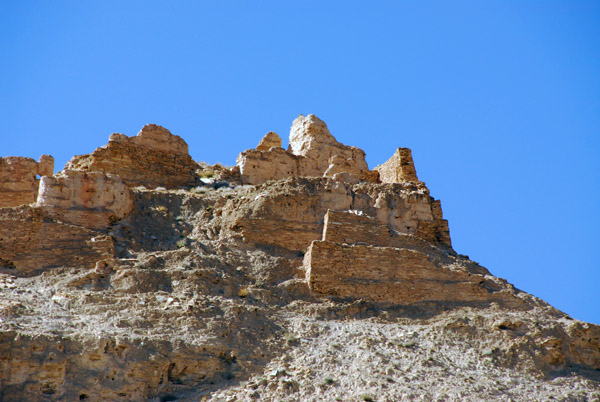 Fortress ruins 9 km northeast of New Tingri (N28.7128/E87.211) |
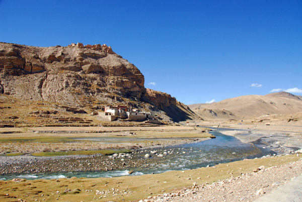 Riverside nunnery and fortress ruins at km 5124 |
 Hillside ruins and caves near Qiabu village, km 5127 |
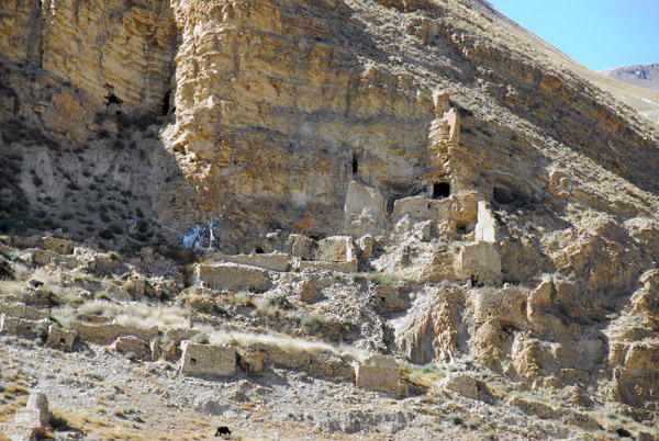 Hillside ruins and caves near Qiabu village, km 5127 |
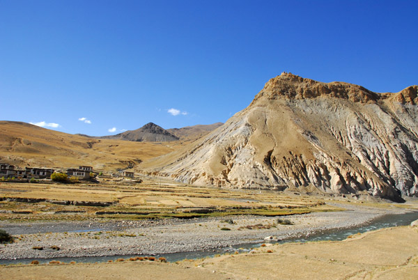 Nearing New Tingri from Lhatse |
 Village along the Friendship Highway just before New Tingri (N28.691/E87.189) |
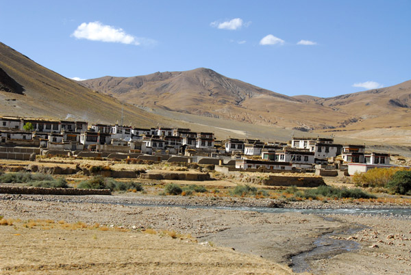
 Entering New Tingri, a town born of tourism to Mt Everest |
 Snow Mountain Tibetan Meal, New Tingri |
 New Tingri |
 New Tingri |
 New Tingri |
 Restaurant in New Tingri |
 Qomolangma Service Center, New Tingri |
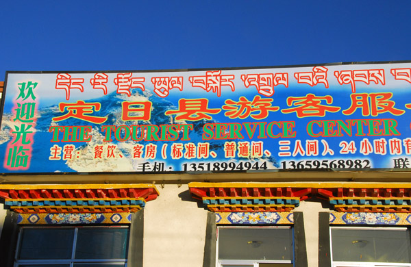 Tourist Service Center, New Tingri |
 New Tingri |
 New Tingri |
 Small Tibetan restaurant in New Tingri |
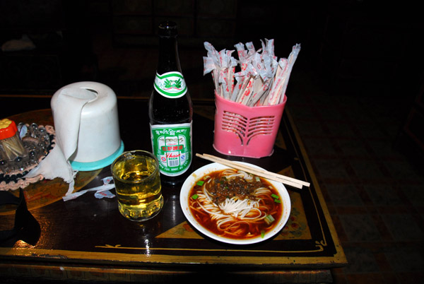 Nice Noodles and Lhasa Beer |
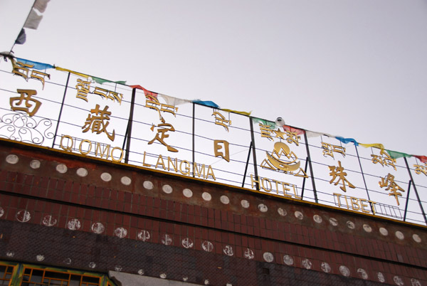 Early morning start from the Qomolangma Hotel, New Tingri |
| comment | share |