


|
|
|
|
|
|
| Brian McMorrow | profile | all galleries >> Asia >> China - 中国 >> Tibet - 西藏 (བོད་) >> 泽当Tsetang རྩེ་ཐང >> Lhasa to Tsetang | tree view | thumbnails | slideshow |
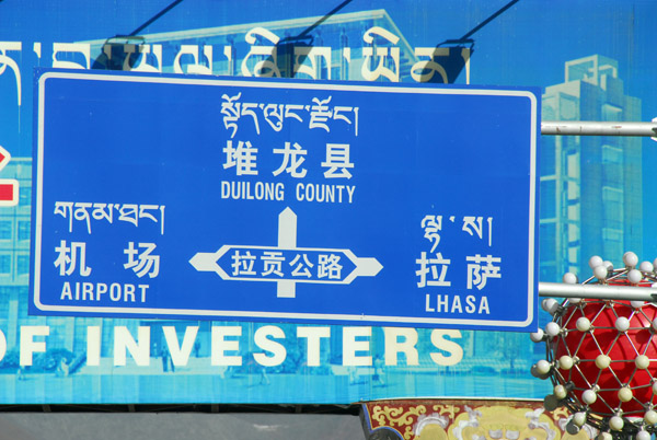
 Driving out of Lhasa for Tsetang, 183 km southeast of the city |
 Vehicle substitution required when the tour operator provided a vehicle with no seat belts |
 The guide said "we don't use seatbelts" - I said "I just have one life" |
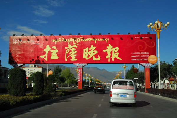
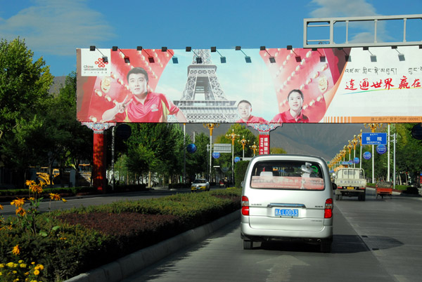 Caohejing Road - the Beijing Olympics had ended just prior to my 2008 visit |
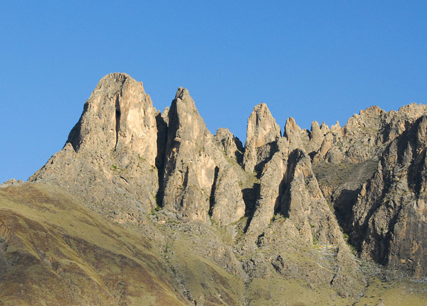 Rugged rocky pinnacles rising over Lhasa |
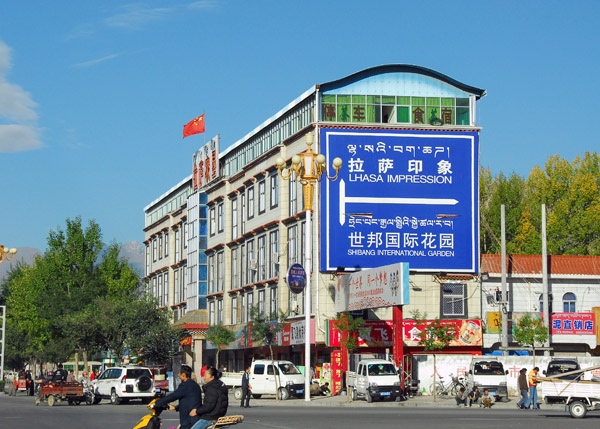
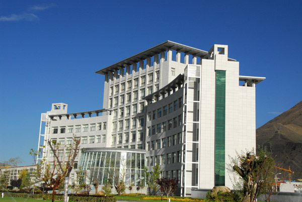 Impressive new building on the west side of Lhasa |
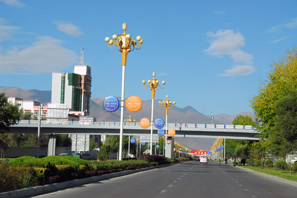
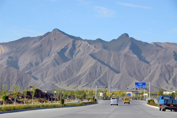 Leaving Lhasa to the west on Caohejing Road |
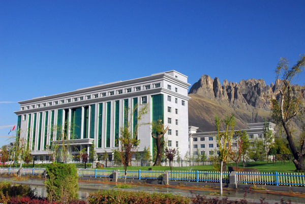 Impressive new building on the west side of Lhasa |
 We turn left here towards Lhasa's Gongkar Airport, 94 km from the city |
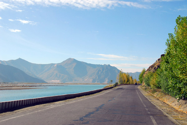
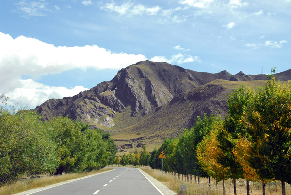
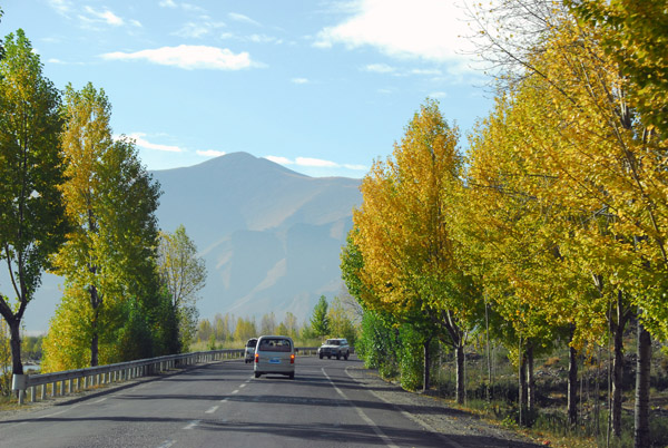 The road along the west bank of the Lhasa River showing autumn colors |
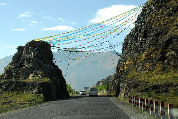 Prayer flags spread across the road |
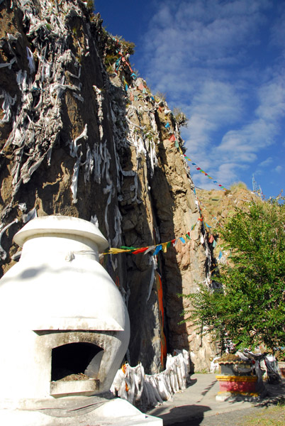 Brief stop at a roadside shrine |
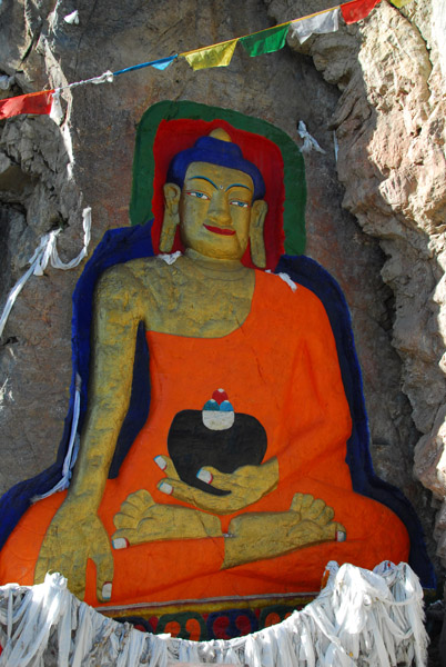 Large rock-cut painted Great Buddha at km 11 |
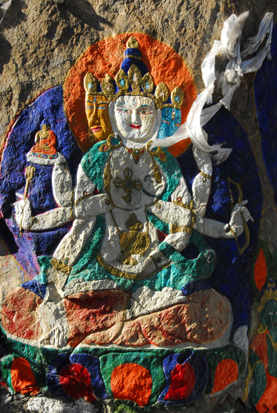 TibetOct08 1051.jpg |
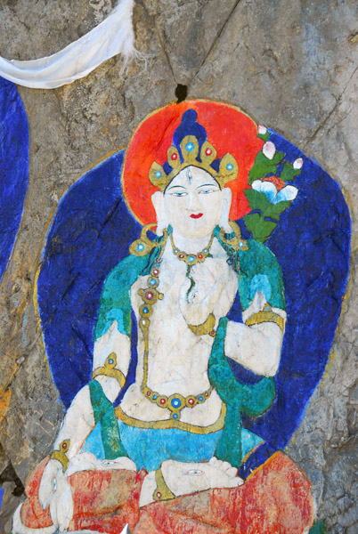 Rock carving of White Tara, km 11 on Lhasa Airport road |
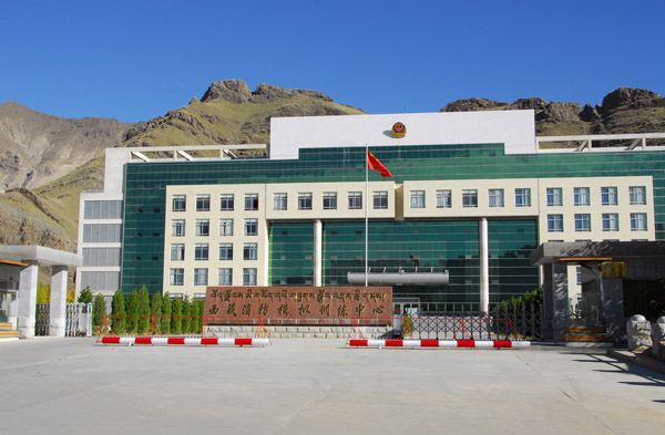 New official looking building around km 12 of highway between Lhasa and the Airport |
 No seatbelt? Yeah, right! |
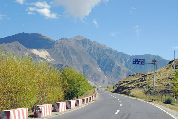
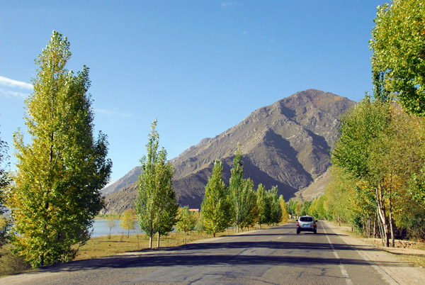 Road south from Lhasa along the Lhasa River |
 Road south from Lhasa along the Lhasa River |
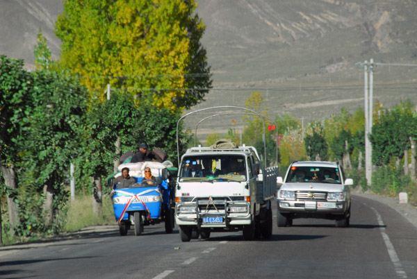
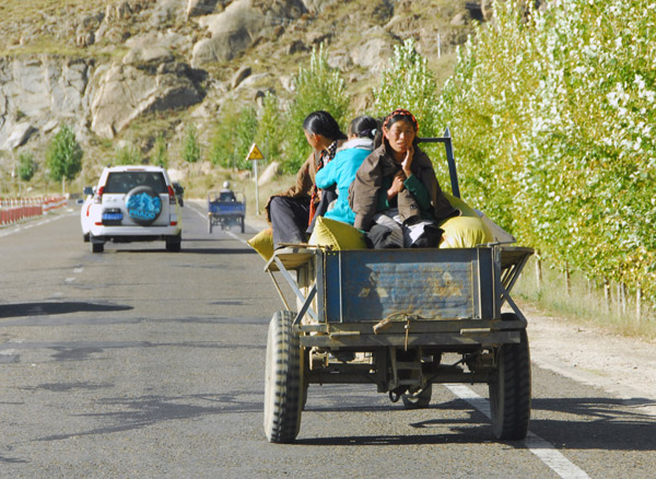 Slow moving vehicle |
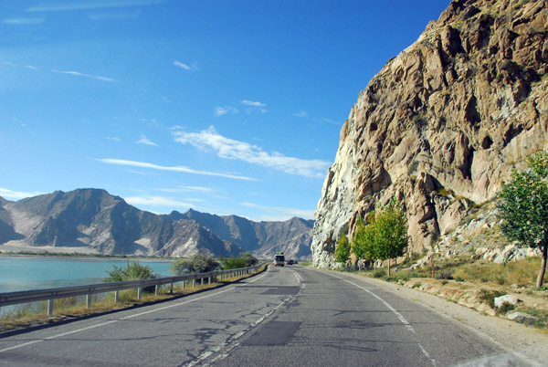 Road south from Lhasa along the Lhasa River |
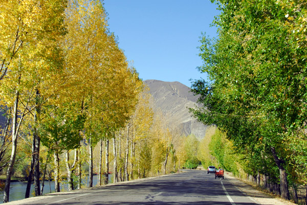 Leaves starting to change color, early October |
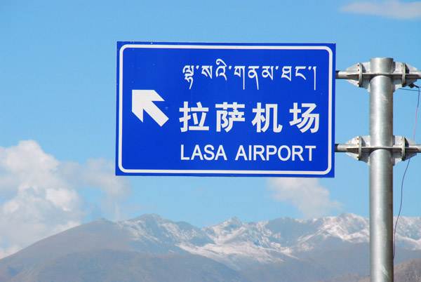
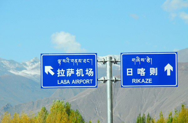 Turnoff for the new bridge-tunnel-bridge for Lhasa Airport - Rikaze straight on |
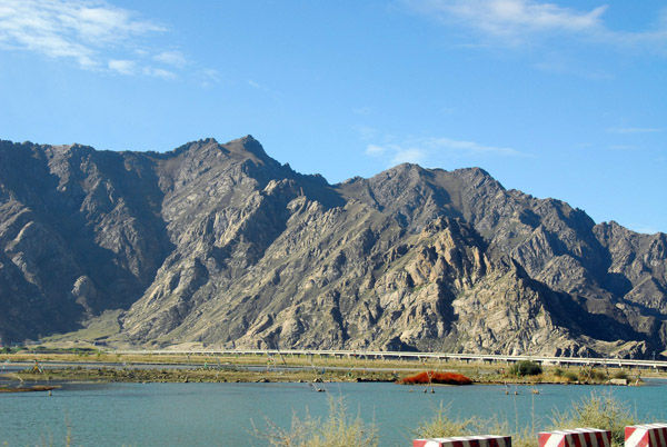 There is a new bridge across the Lhasa River opened in 2005 |
 The new bridges and tunnels reduced the distance from Lhasa to the airport from 95 to 55 km |
 Crossing the Lhasa River |
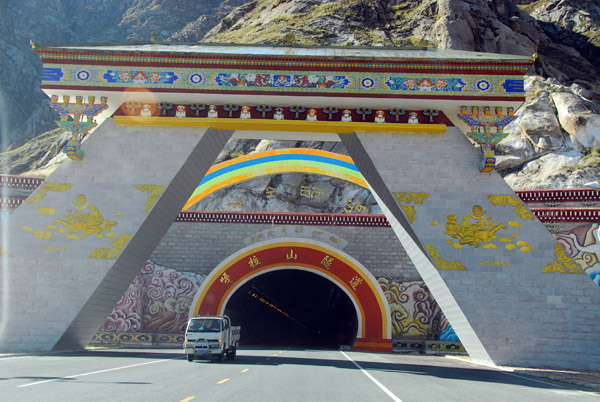 The entrance to the new tunnel between Lhasa and the airport at Gonkar |
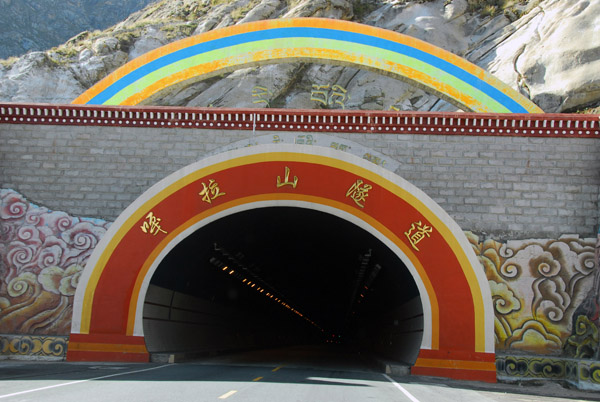 The tunnel is 2.5 km long |
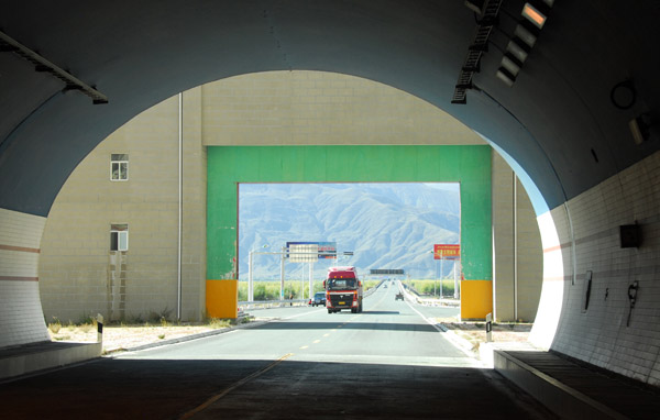 Emerging on the south side of the tunnel |
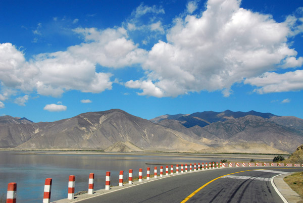
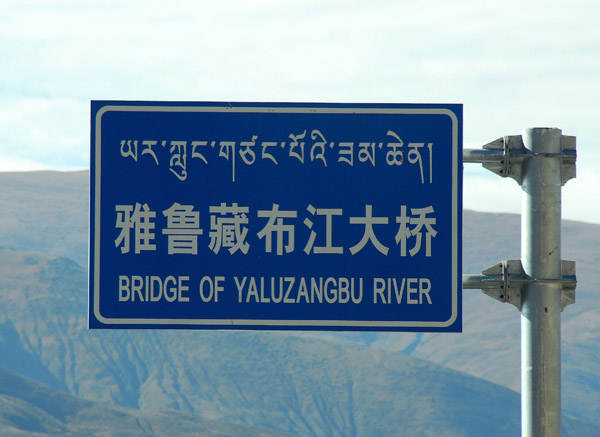 The airport shortcut is completed by the new bridge over the Yaluzangbu River |
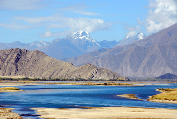
 Yarlung Tsangpo River (Yaluzangbu) the highest major river in the world |
 In India, the Yarlung Tsangpo River becomes the Brahmaputra |
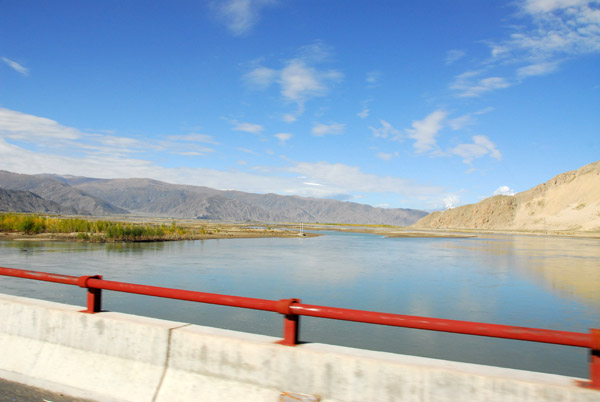
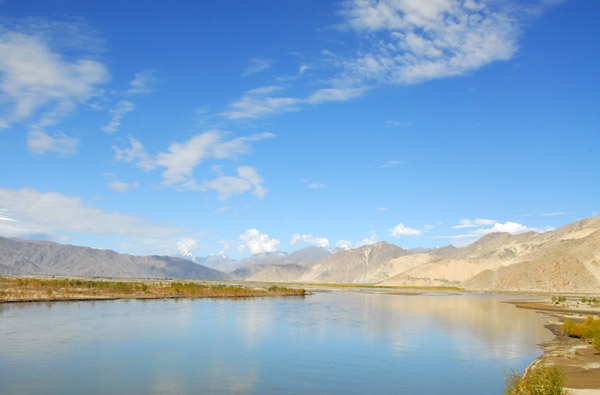 Main channel of the Yarlung Tsangpo River |
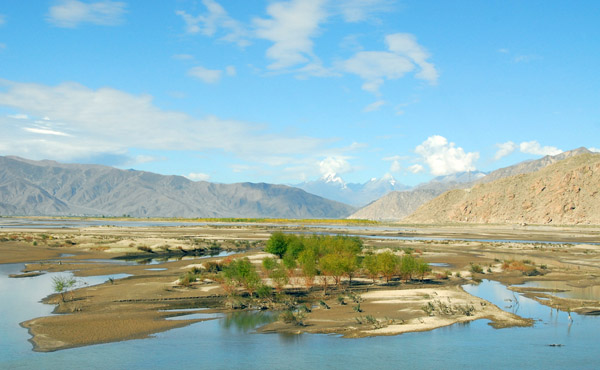
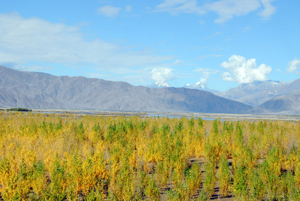 Forest chowing autumn colors on the south bank of the Yarlung Tsangpo River |
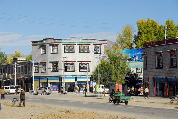 Gongkar, the small town where Lhasa's airport is located |
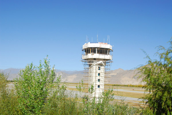 Lhasa Gonggar Airport (LXA) elevation 11,811 ft |
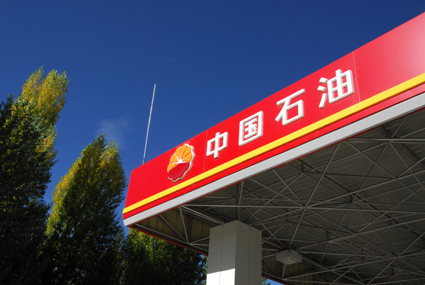 China Petroleum, Gongkar |
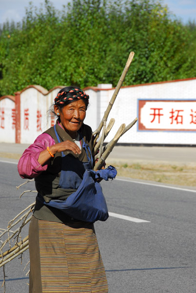 Tibetan woman collecting firewood along the road, Gangshung |
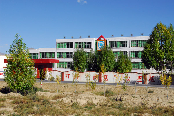 Gangshung School - the Chinese consider bringing schools to Tibet to be one of their achievements |
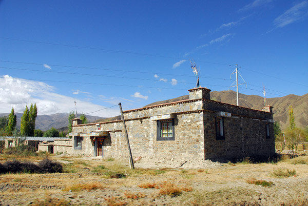
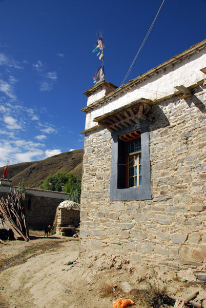
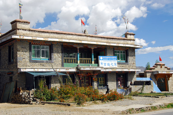
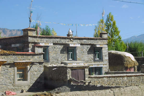 Rugged stone house common in the small villages outside Lhasa |
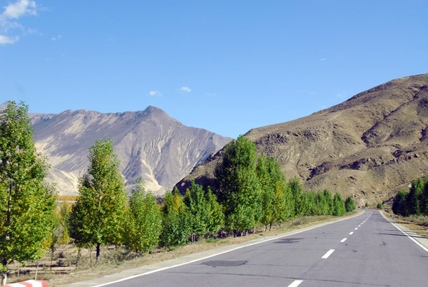 Heading east for Tsetang along the south bank of the Yarlung Tsangpo River just past Drashung |
 Sturdy stone out along the Yarlung Tsangpo River |
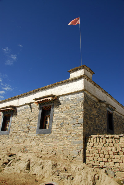
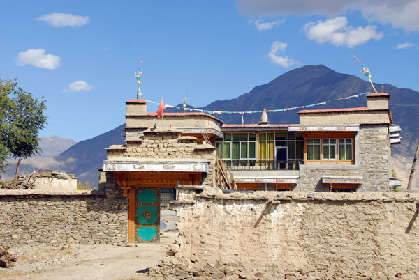
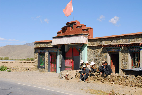 Building in Chedzhol Dzong flying the Chinese flag over a fancy gate (N28.2814/E91.1136) |
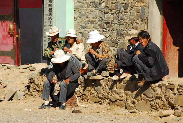 Tibetans waiting for the bus perhaps |
 Heading east for Tsetang along the south bank of the Yarlung Tsangpo River |
 Tibetan home with a large haystack |
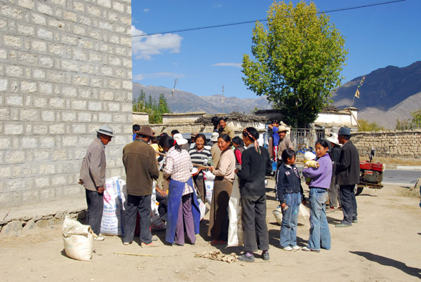 Passing through the driver's village (Drachi?) we stopped for a short visit |
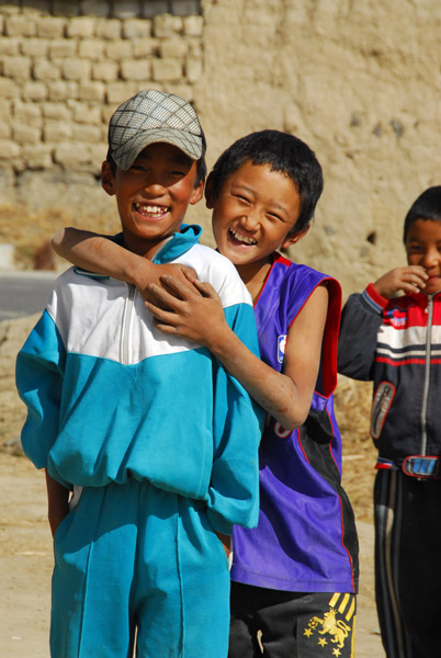 Kids in the driver's village |
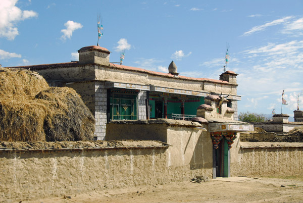
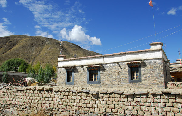
 The driver's house |
 The driver's house |
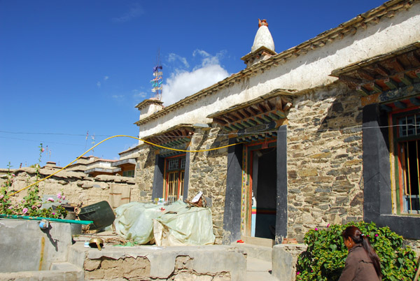 The driver's house |
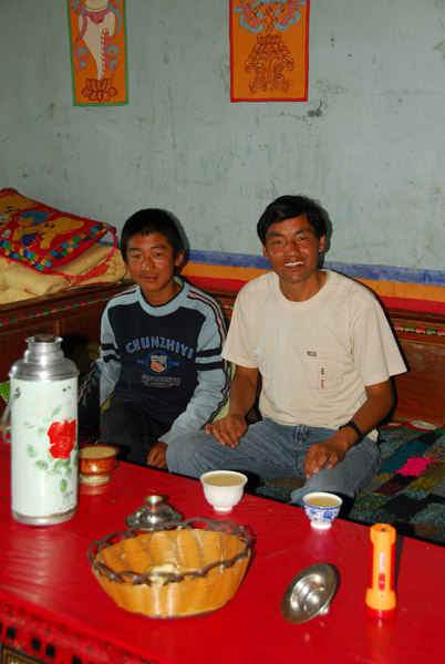 The driver and his son with yak butter tea |
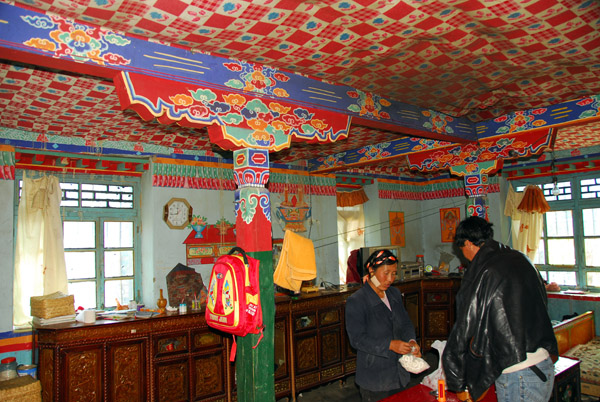 The colorfully decorated living room of the driver's house |
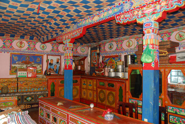 The driver's kitchen, complete with Mao and Hu Jintao photos |
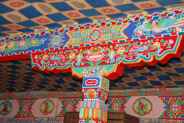 Professional painters come and decorate the house interiors |
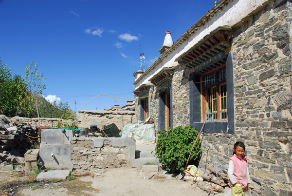 The driver's daughter taking me on a walk through the village |
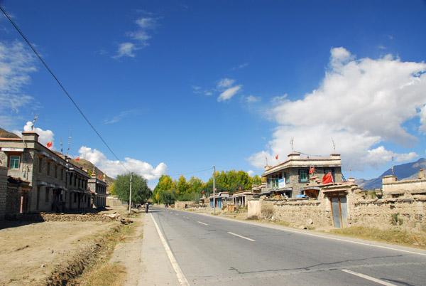
 The driver's village, about halfway between Gonggar and Tsetang |
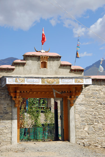
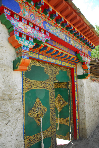 Ornate gateway to a Tibetan home |
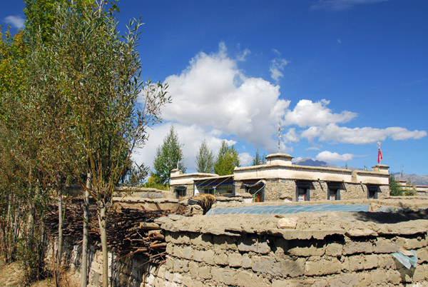 The driver's village |
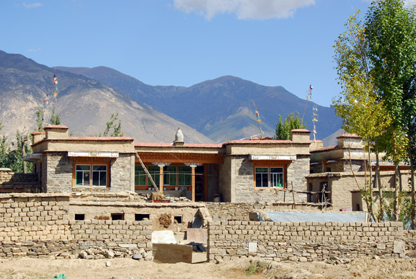 The driver's village |
 The driver's village |
 The driver's village |
 The driver's village |
 The main road along the south bank of the Yarlung Tsangpo River |
 Back on the road headed for Tsetang |
 The road rejoins the south bank of the Yarlung Tsangpo River |
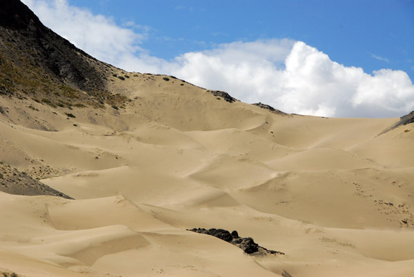
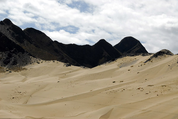 I was surprised to find sand dunes along the road |
 Sand dunes on the south bank of the Yarlung Tsangpo River just west of Tsetang |
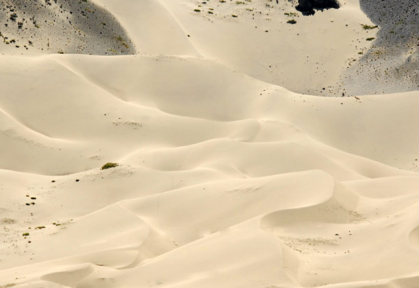
 Sand dunes on the south bank of the Yarlung Tsangpo River just west of Tsetang |
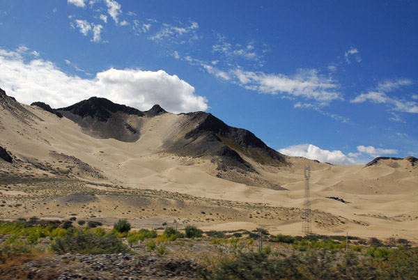 Sand dunes on the south bank of the Yarlung Tsangpo River just west of Tsetang |
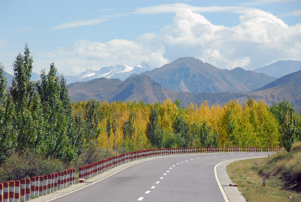 The road to Tsetang |
| comment | share |